Prout Road (ORV Route A)
Total Miles
3.1
Technical Rating
Best Time
Spring, Summer, Fall
Trail Type
Full-Width Road
Accessible By
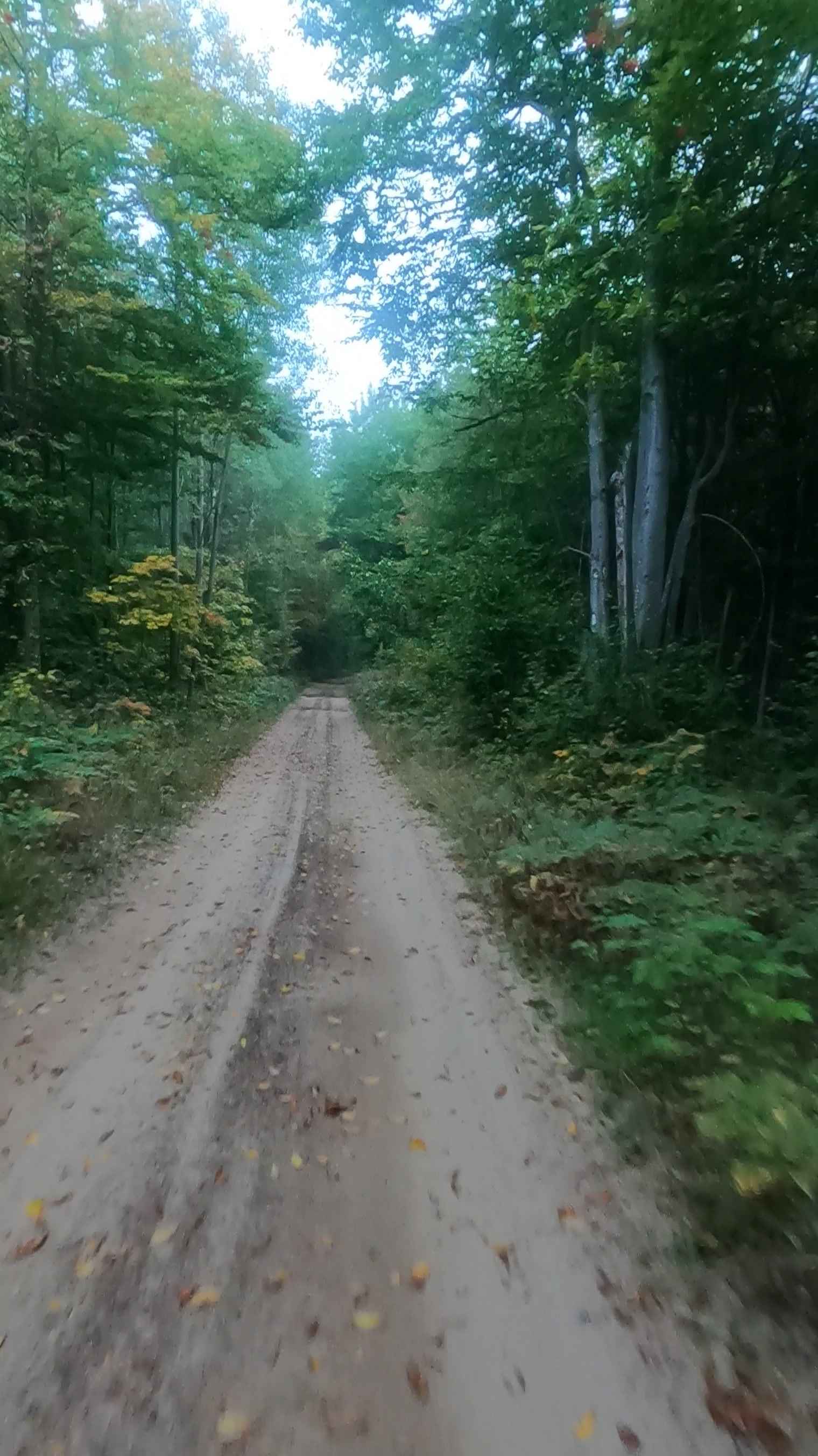
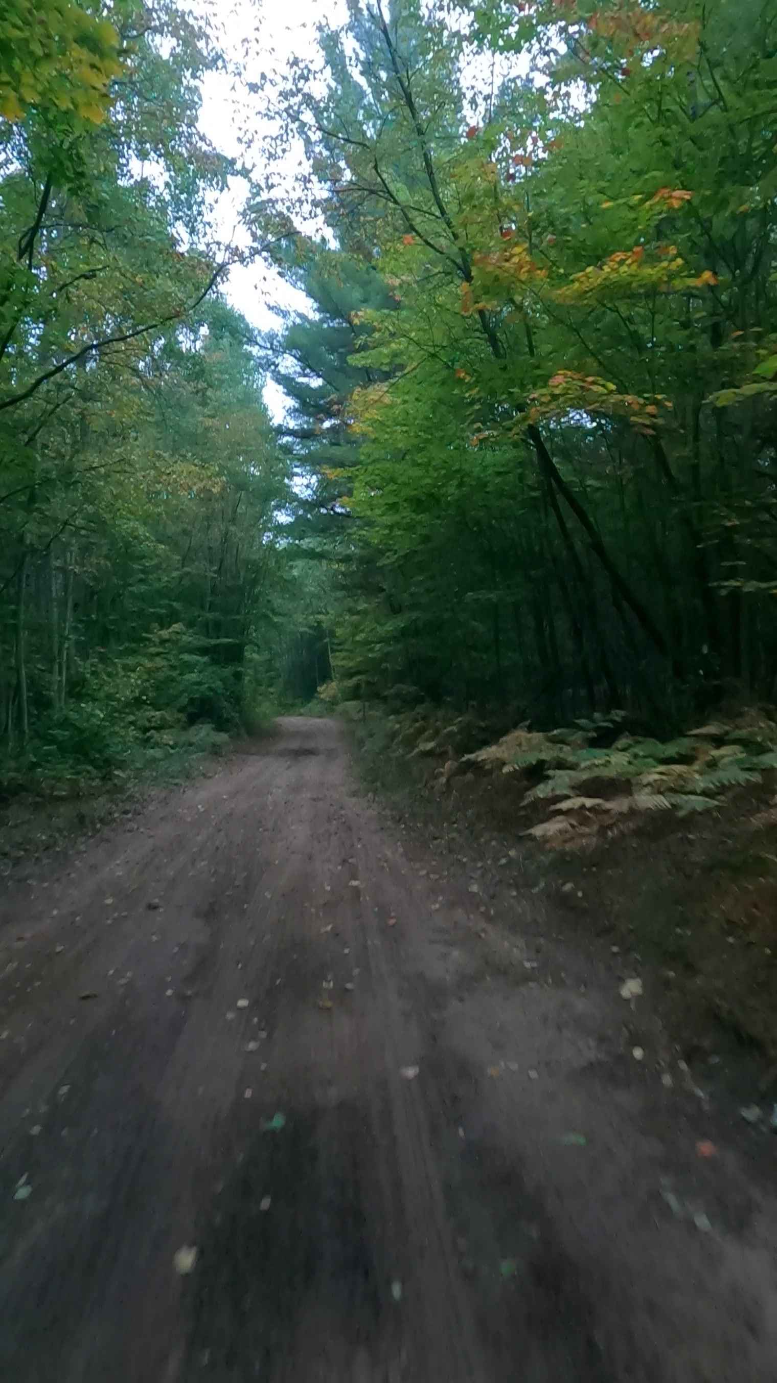
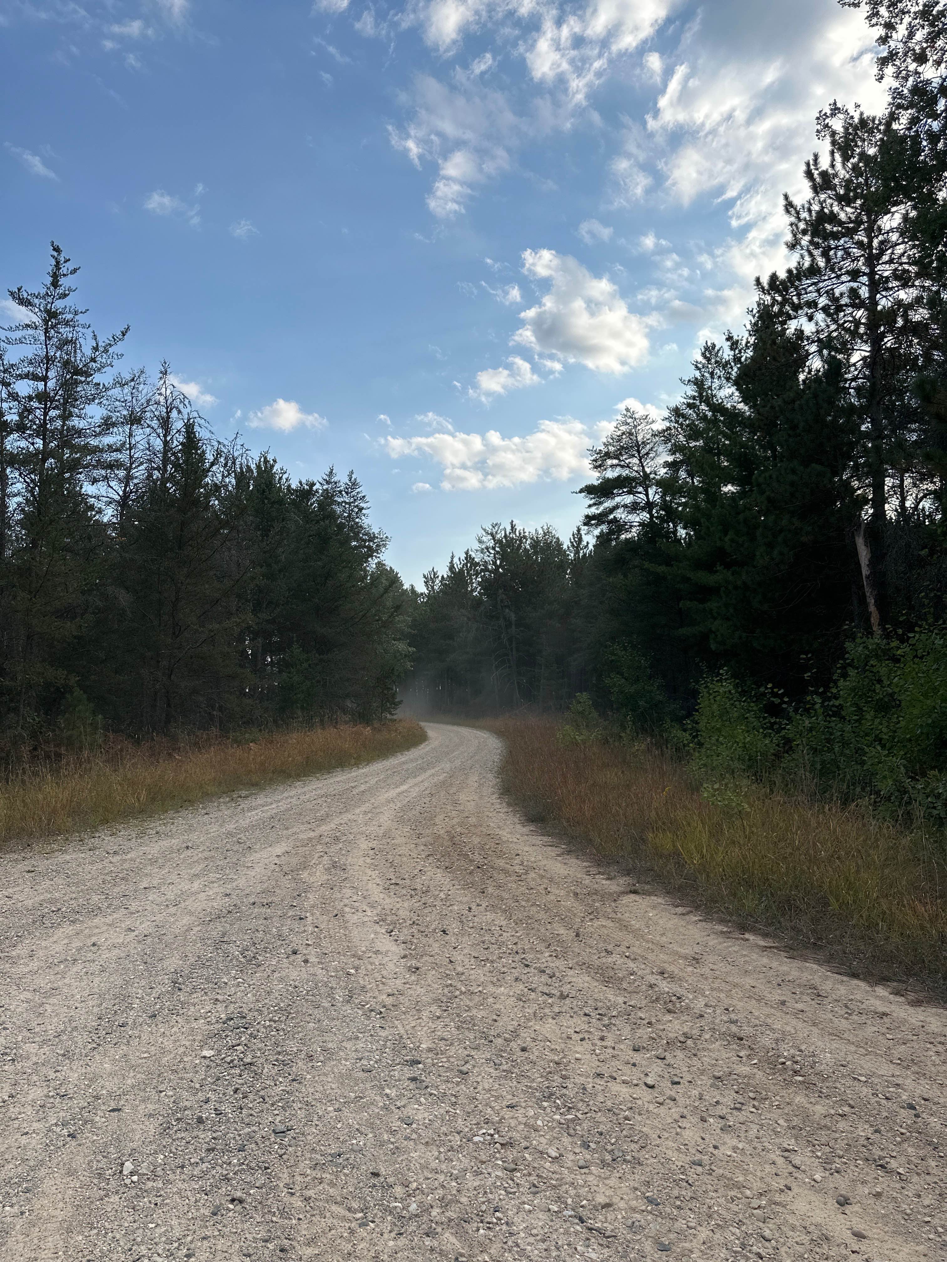
Trail Overview
Prout Road is a state-owned/ locally maintained, Level-2/ Level-3 Secondary Forest Road with a surface composition of dirt, sand, gravel, and native material. This route is currently open and in fair condition. A portion of this road is a DNR route (ORV use is subject to local government regulations) known as ORV Route A and connects Cut River Road to the Hiawatha Trail. Description created on September 18, 2025.
Photos of Prout Road (ORV Route A)
Difficulty
Sand, dirt, gravel road, unmaintained after rain or snow that may give rise to shallow water crossings and obstacles under 12 inches on the trail, including small branches. This road is a "Two Track" path that is typically one vehicle in width.
History
Epoufette, Michigan, is a historic, unincorporated fishing village located along U.S. Route 2. Known for its scenic views of Lake Michigan and proximity to the Cut River Bridge, the community's history is deeply rooted in commercial fishing, French-Canadian heritage, and early lumbering. The name "Epoufette" is believed to be derived from early French settlers, translating to "a place of rest". Tradition suggests that Father Jacques Marquette used the harbor as a resting place while traveling down Lake Michigan, roughly 200 years before the village was officially settled. The area was first settled around 1848 when government surveyor John R. McLeod established an Indian village.
Status Reports
Prout Road (ORV Route A) can be accessed by the following ride types:
- High-Clearance 4x4
- SUV
- SxS (60")
- ATV (50")
- Dirt Bike
Prout Road (ORV Route A) Map
Popular Trails
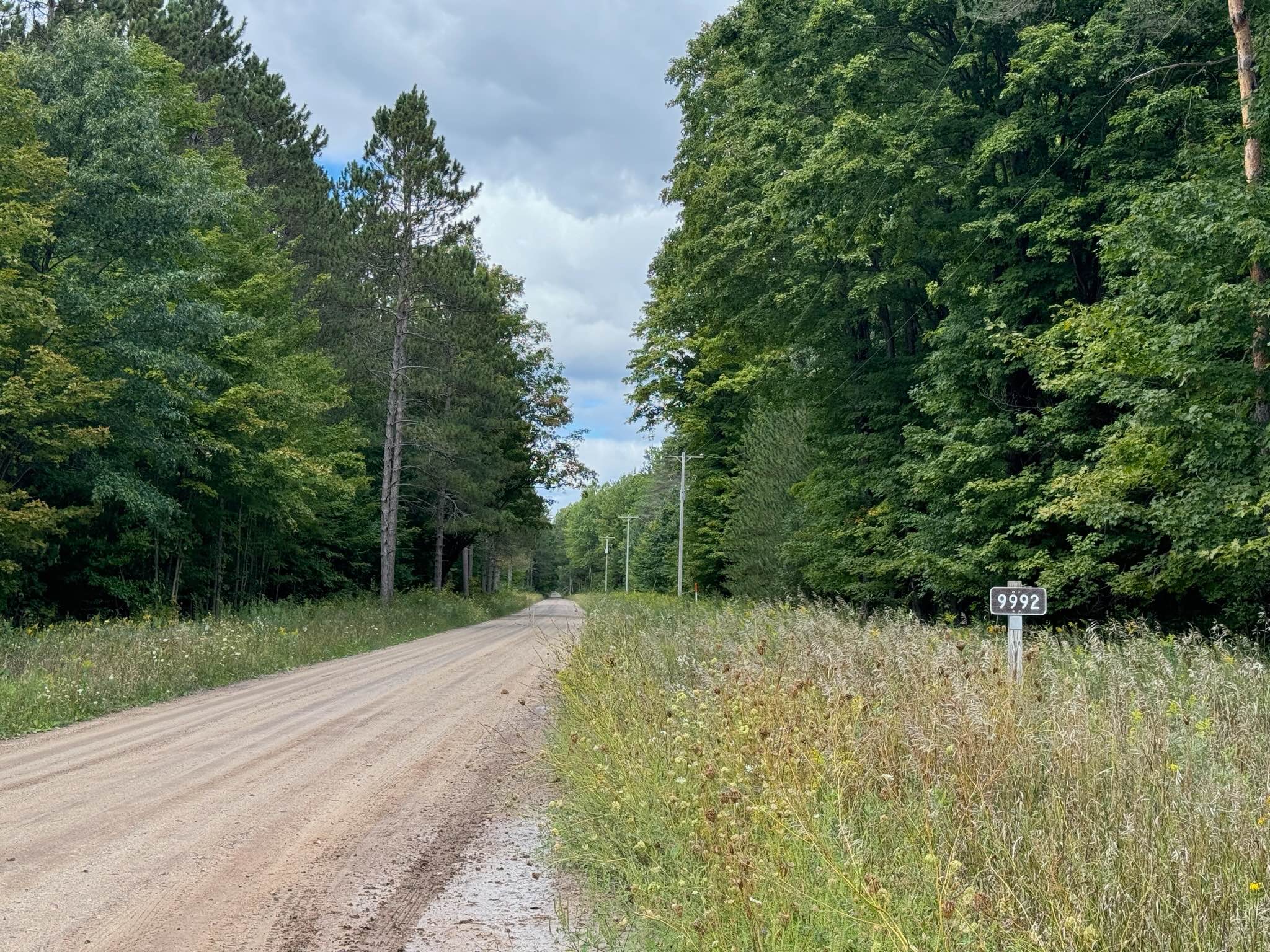
Forest Service Road 9992
Peterson Road

Pinney Bridge Road
The onX Offroad Difference
onX Offroad combines trail photos, descriptions, difficulty ratings, width restrictions, seasonality, and more in a user-friendly interface. Available on all devices, with offline access and full compatibility with CarPlay and Android Auto. Discover what you’re missing today!