ORV Route A Service Bridge - FS 3810
Total Miles
0.6
Technical Rating
Best Time
Spring, Summer, Fall
Trail Type
High-Clearance 4x4 Trail
Accessible By
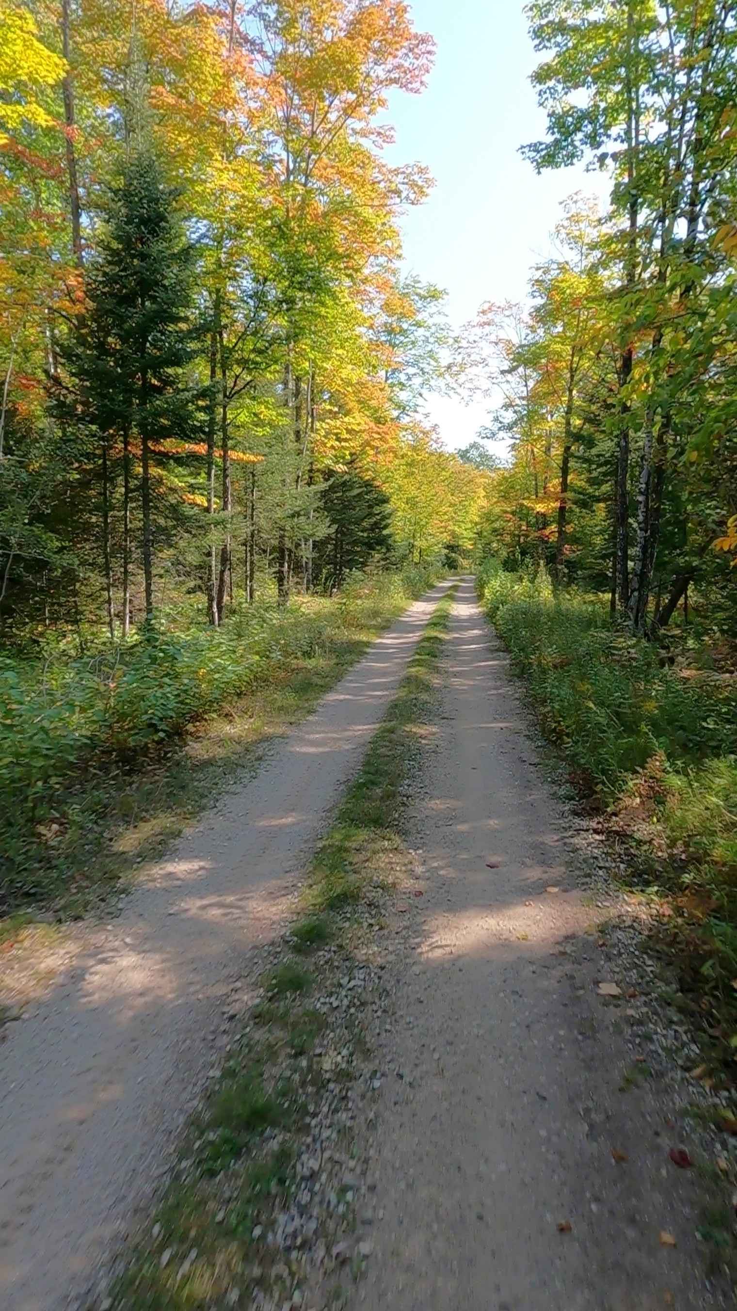
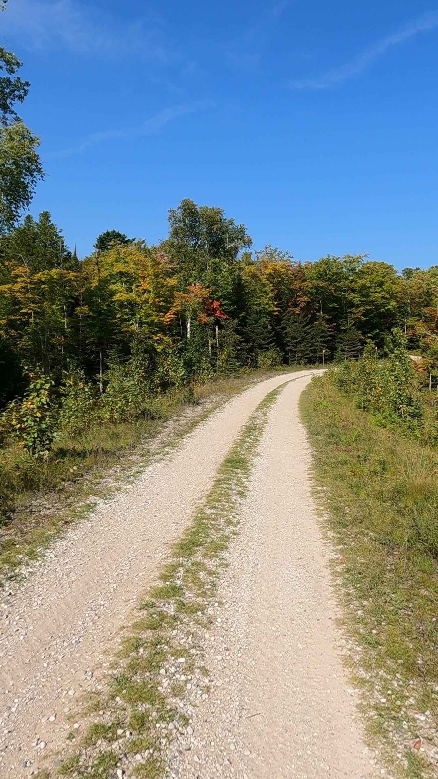
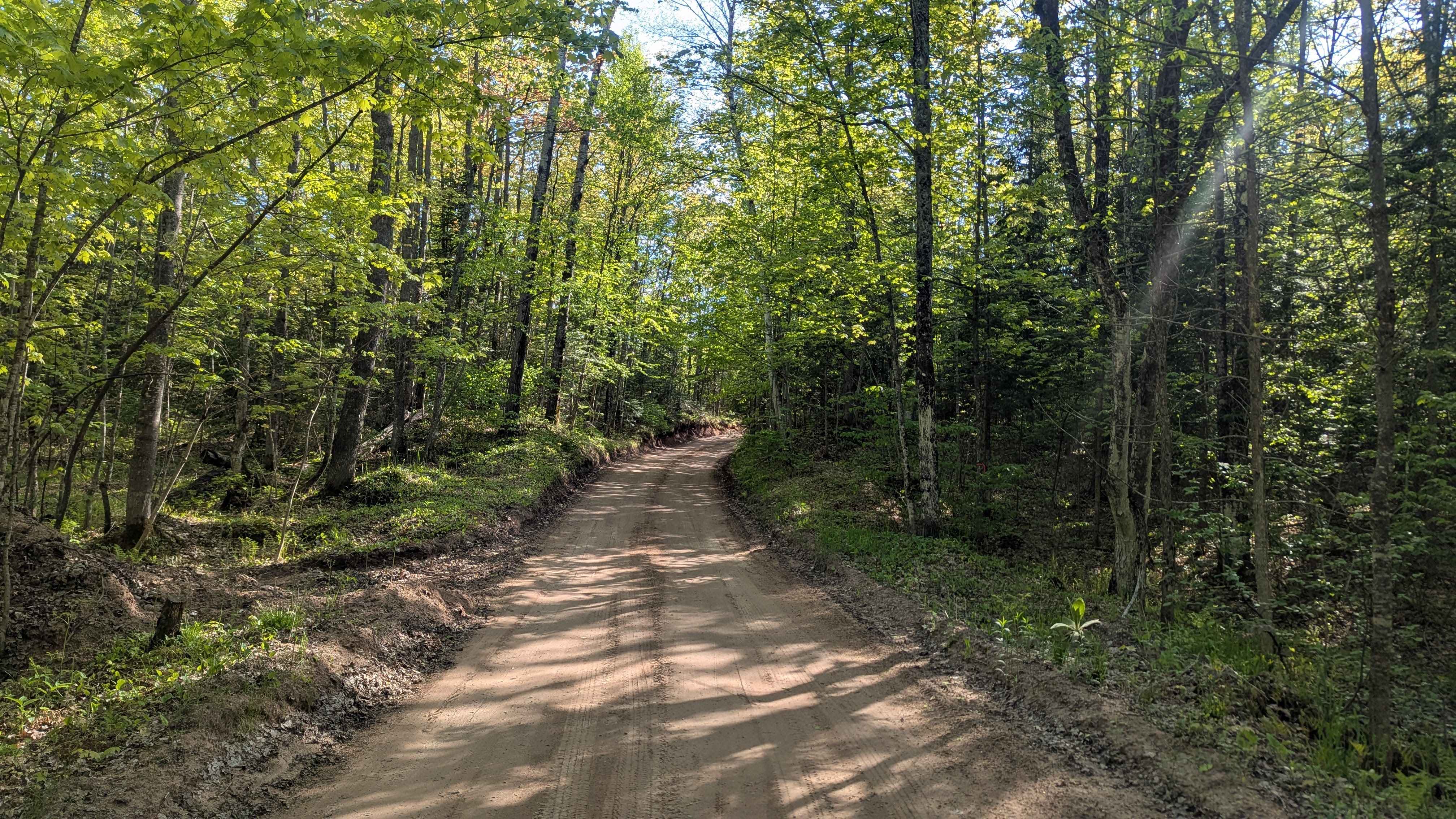
Trail Overview
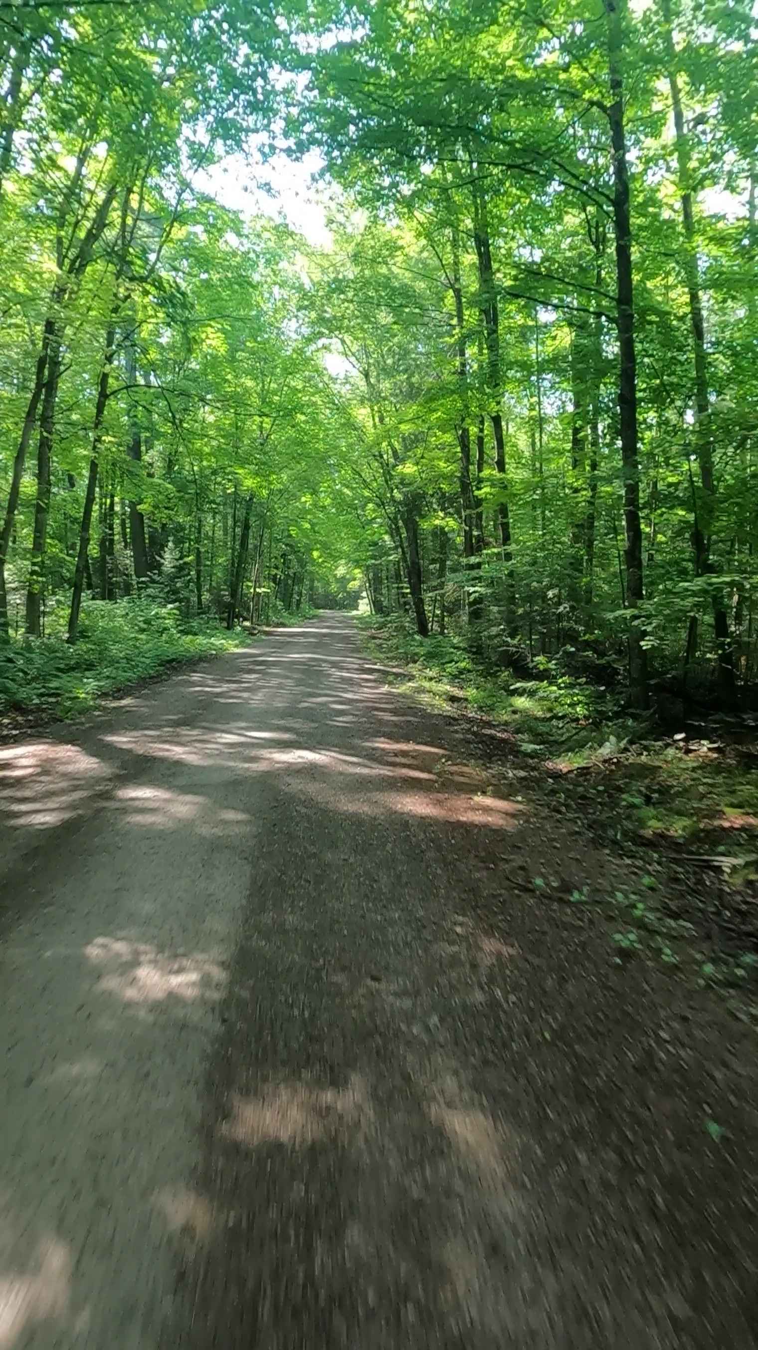
Federal Forest Service Road (FS) 3810, also known as 5044 - ORV Route A Service bridge, is a federally owned/ locally maintained, Level-2/ Level-3 forest road with a surface composition of dirt, sand, gravel, native material, and concrete (bridge portion). This route is currently open and in fair condition. It is a pivotal continuation of ORV Route A; connecting Mackinac Trail (ORV Route A) to North Service Road (ORV Route A) [ORV use is subject to local government regulations] that traverses over Interstate 75. Description created on September 17, 2025.
Photos of ORV Route A Service Bridge - FS 3810
Difficulty
Dirt, gravel, concrete, typically unmaintained after rain or snow. This route is a narrow "Two-Track" that is one vehicle in width.
History
The Mackinac Trail traces its roots to ancient Native American footpaths used for thousands of years, later serving as a vital fur-trading route for French explorers and British military in the 17th-19th centuries. Today, it exists as a historic scenic road, notably the Old Mackinac Trail (now often County Road 421) in the Upper Peninsula, which once connected early settlements and military outposts along the Great Lakes. Indigenous Roots: The Anishnaabek (Odawa, Ojibway, Potawatomi) tribes established the original, interconnected trail system, which served as a major transportation network for thousands of years before European arrival. Fur Trade Route (1600s-1800s): The area, specifically around St. Ignace and Mackinac Island, was a critical hub. French traders, or voyageurs, navigated these networks to trade with Native Americans, with routes connecting to major water resources. Military Significance: The British, and later Americans, utilized the trails and surrounding areas to control the straits during the Revolutionary War and the War of 1812.
Status Reports
ORV Route A Service Bridge - FS 3810 can be accessed by the following ride types:
- High-Clearance 4x4
- SxS (60")
- ATV (50")
- Dirt Bike
ORV Route A Service Bridge - FS 3810 Map
Popular Trails
Great Lakes Road
Wilson Truck Trail

Pine River Corridor
Sturgeon River Road - FSR 2229
The onX Offroad Difference
onX Offroad combines trail photos, descriptions, difficulty ratings, width restrictions, seasonality, and more in a user-friendly interface. Available on all devices, with offline access and full compatibility with CarPlay and Android Auto. Discover what you’re missing today!