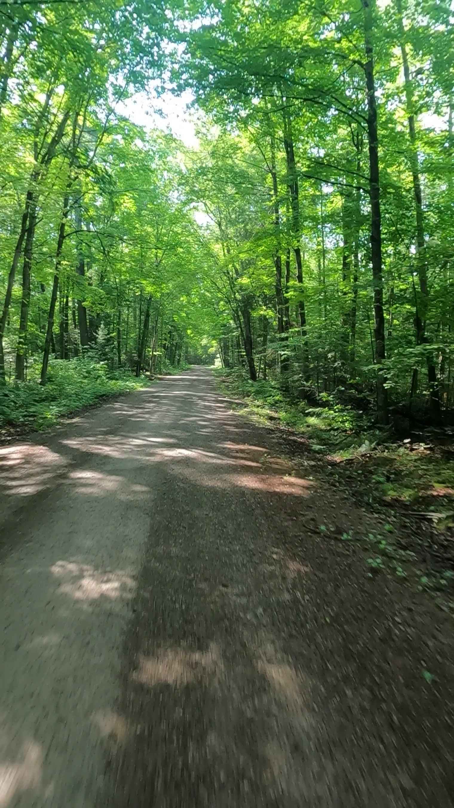
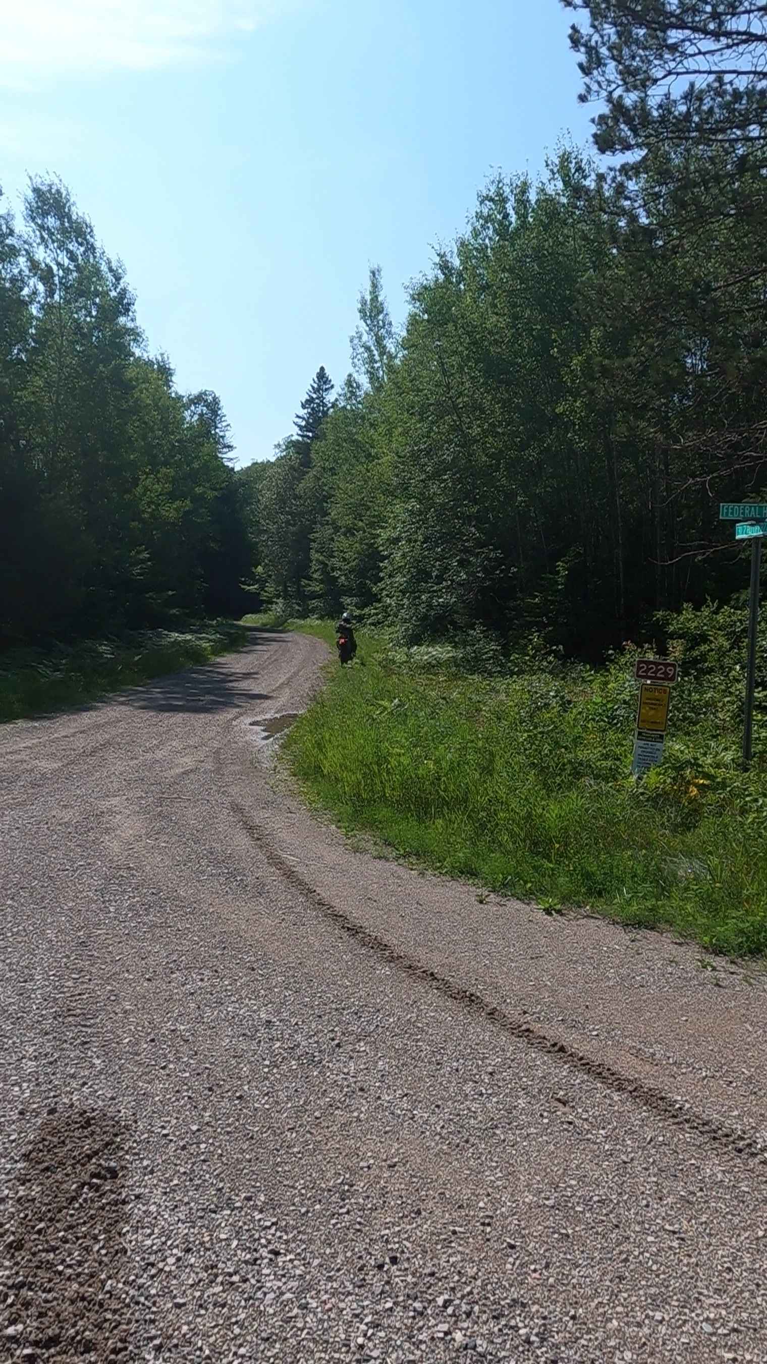
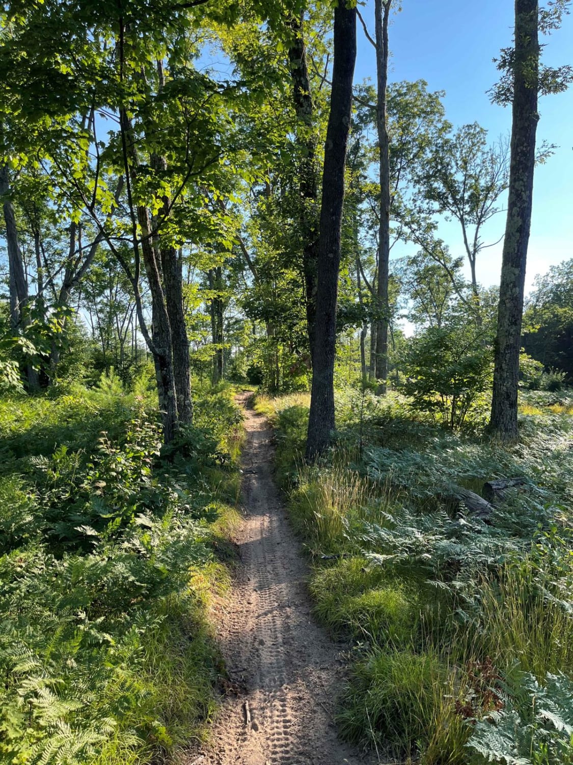
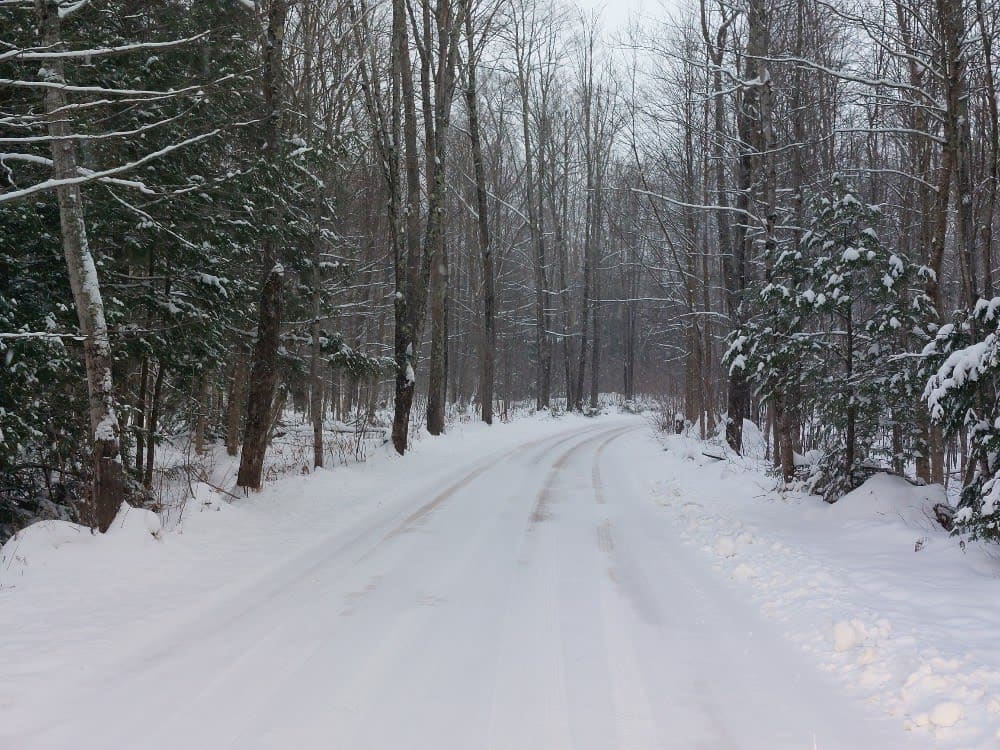
Sturgeon River Road - FSR 2229
Total Miles
4.3
Technical Rating
Best Time
Spring, Summer, Fall
Trail Type
Full-Width Road
Accessible By
Trail Overview
Road Primary Name: STURGEON RIVER. Road Type: Non-DNR Road. ORV Status: Not a DNR Road - See local government laws. Surface Type: Dirt, gravel, paved. Condition: Fair. Owner: Unspecified. Closure Criteria: Open. Also known as 31 2/10 Road. This road is closed during the winter season. Description created on 7/24/25.
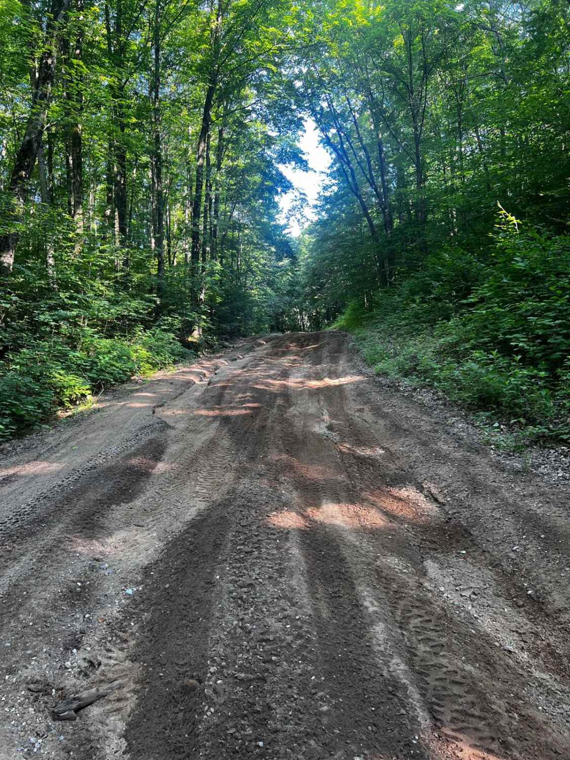
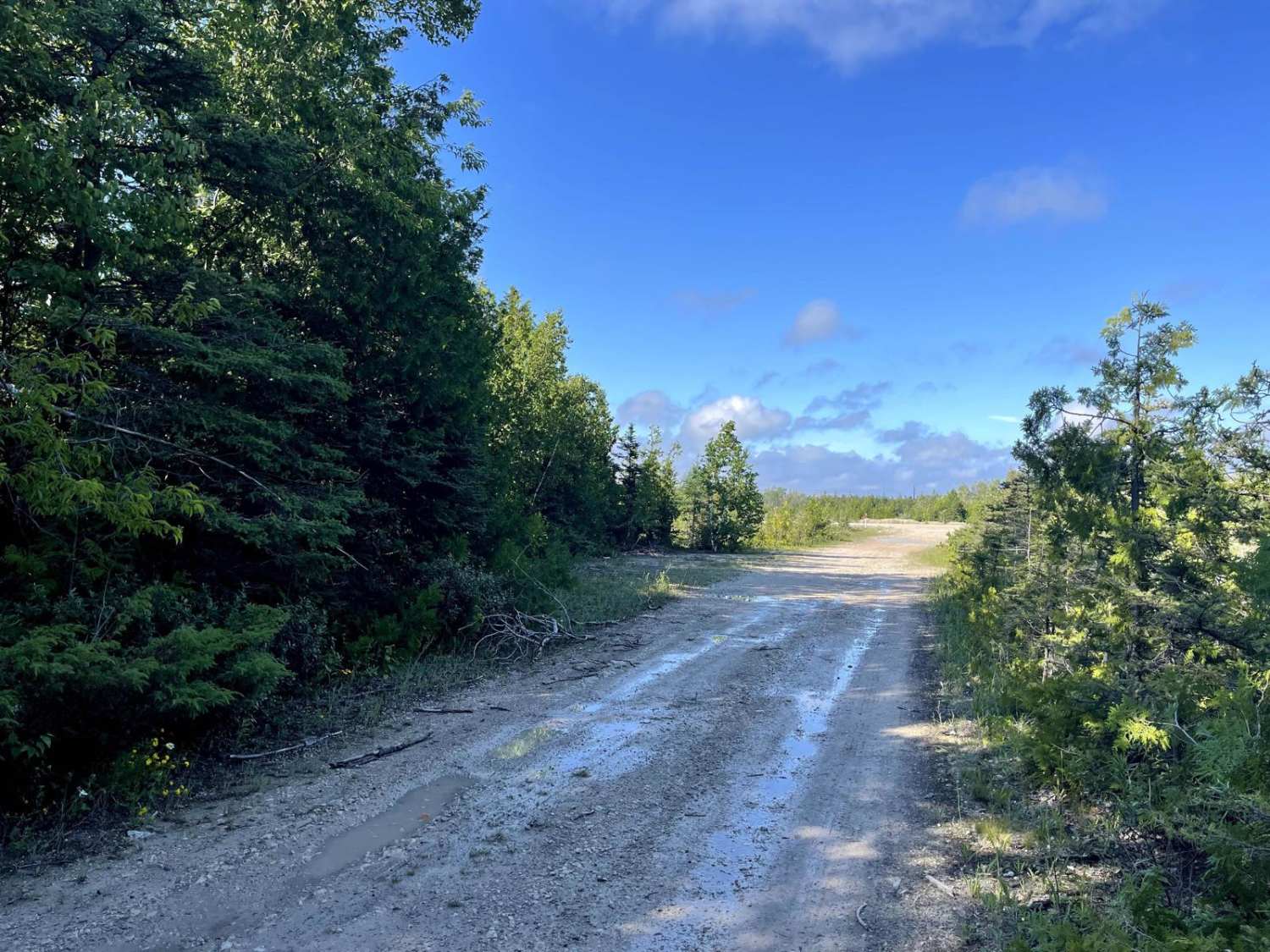
Photos of Sturgeon River Road - FSR 2229
Difficulty
Dirt, sand, and native material, typically unmaintained after rain or snow. You may encounter shallow water crossings and obstacles under 12 inches on the trail, including small ledges. Road is one to two vehicles wide.
History
The Sturgeon River near Rapid River, Michigan, has a history intertwined with Native American presence, logging, and river modifications. The river was historically used by Native Americans, with archaeological evidence suggesting use for at least 5,000 years. In the early 1870s, the river was rerouted to flow into Burt Lake to improve the Inland Route for logging and transportation. Rapid River itself was once a thriving logging town, with the first sawmill in the Upper Peninsula established there in 1835.
Status Reports
Sturgeon River Road - FSR 2229 can be accessed by the following ride types:
- High-Clearance 4x4
- SUV
- SxS (60")
- ATV (50")
- Dirt Bike
Sturgeon River Road - FSR 2229 Map
Popular Trails
Tin Cup Springs Motorcycle Trail
Covered Drive
Gamble Lake Trail
The onX Offroad Difference
onX Offroad combines trail photos, descriptions, difficulty ratings, width restrictions, seasonality, and more in a user-friendly interface. Available on all devices, with offline access and full compatibility with CarPlay and Android Auto. Discover what you’re missing today!