Old M-26 Trail
Total Miles
0.7
Technical Rating
Best Time
Spring, Summer, Fall
Trail Type
Full-Width Road
Accessible By
Trail Overview
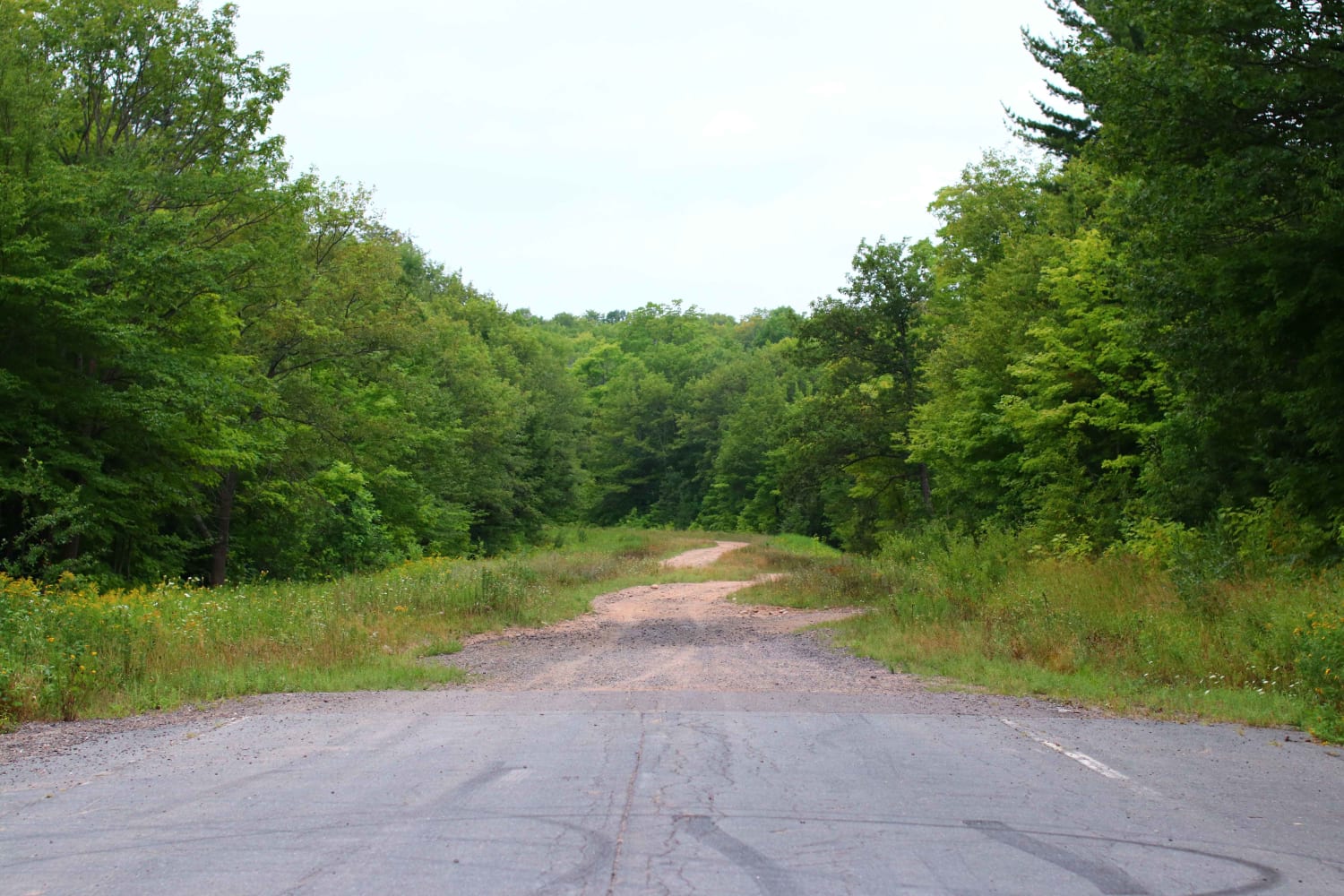
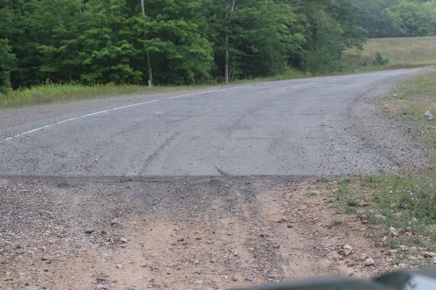
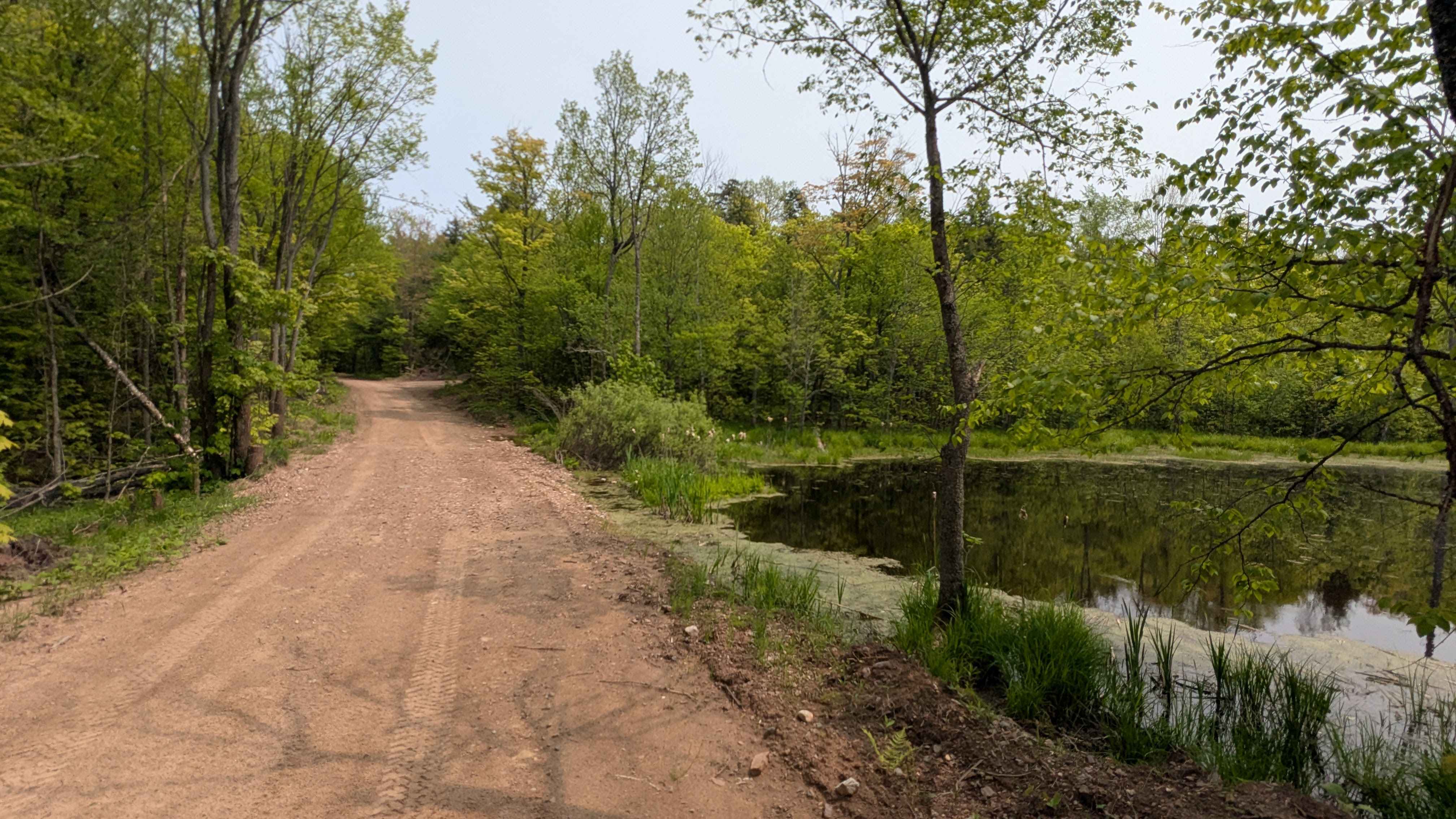
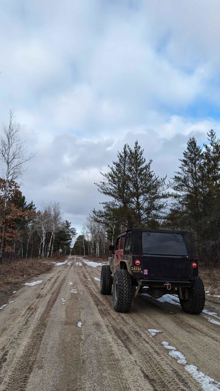
This was a paved Highway until 2006. It was abandoned and left to become an offroad trail for residents of the area. The trail has a short but steep climb that will be muddy if it rains. Continue across the New M-26 to connect into the local ATV routes into Trimountain. Low range is recommended for the hill climb.
Photos of Old M-26 Trail
Difficulty
One steep hill about 100' tall that is used as a sledding hill in the Winter. The trail has several humps that require high clearance
History
This was once a highway but the twisty road had too many accidents in Winter so they rerouted the highway.
Old M-26 Trail can be accessed by the following ride types:
- High-Clearance 4x4
- SUV
- SxS (60")
- ATV (50")
- Dirt Bike
Old M-26 Trail Map
Popular Trails


Turtle Ridge
Northwestern Trail
Blue Lake Road
The onX Offroad Difference
onX Offroad combines trail photos, descriptions, difficulty ratings, width restrictions, seasonality, and more in a user-friendly interface. Available on all devices, with offline access and full compatibility with CarPlay and Android Auto. Discover what you’re missing today!