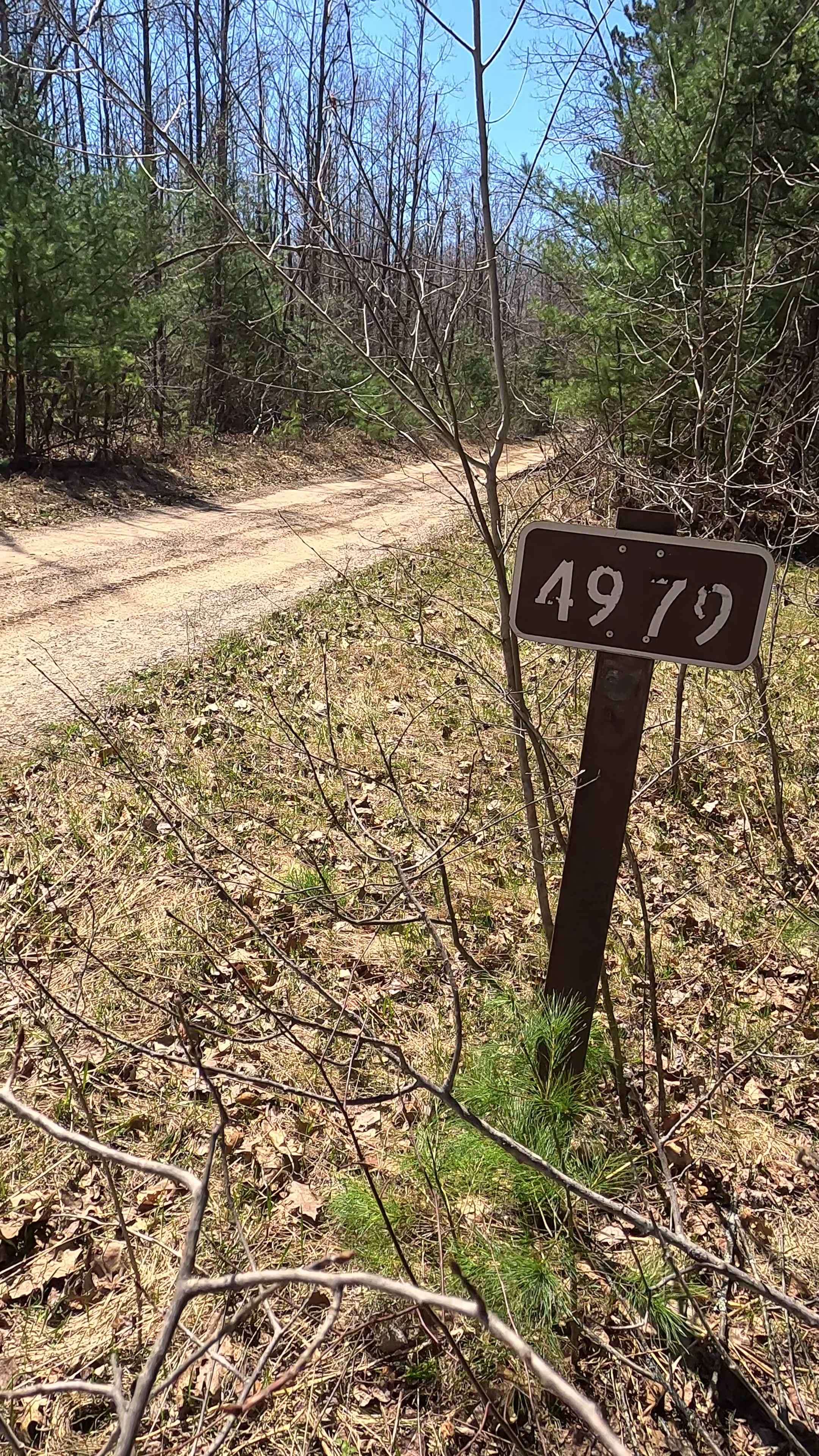
Old Baldy - FS 4979
Total Miles
4.8
Technical Rating
Best Time
Spring, Summer, Fall
Trail Type
Full-Width Road
Accessible By
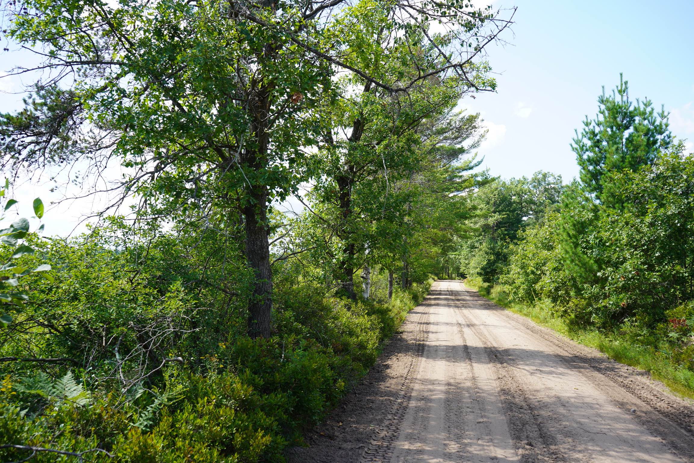
Trail Overview
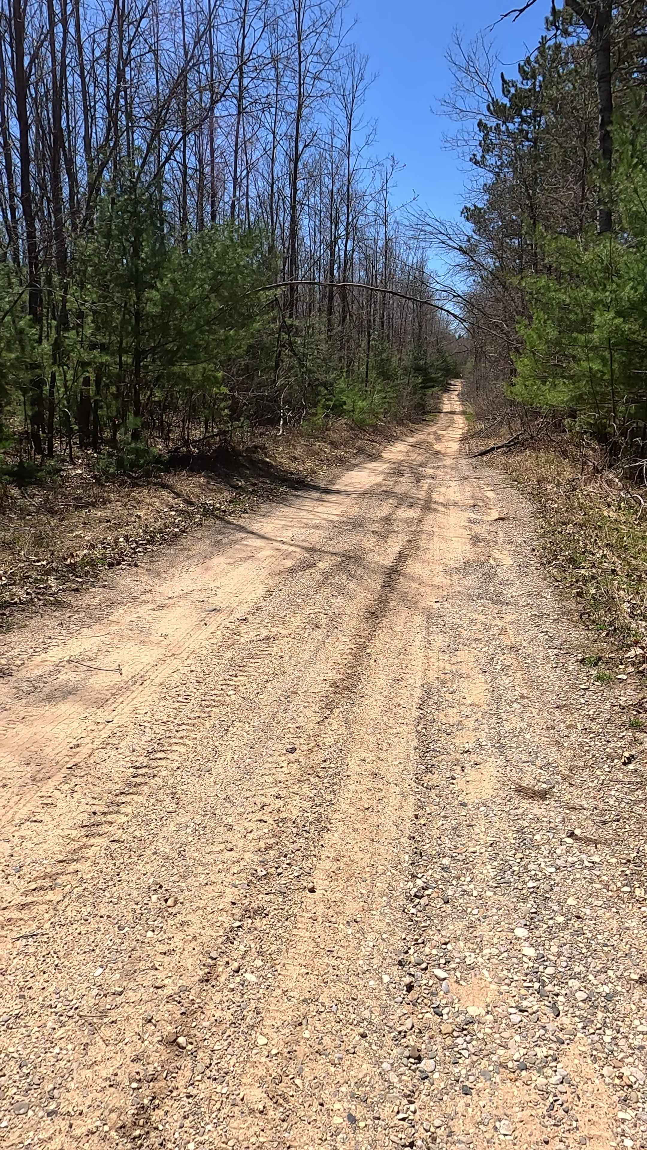
Federal Forest Service Road (FS) 4979, also known as Old Baldy Road, is a federally owned/locally maintained, Level-2/Level-3 forest road with a surface composed of dirt, sand, gravel, and native material. This route is currently open and in fair condition; it is not a DNR road (ORV use is subject to local government regulations). It traverses through the Huron National Forest, and connects Mack Lake Trail to multiple H57 (MAT) intersections, FS 4579, FS 4319, FS 4077, FS 4069, and FS 4147- Deckerville Road
Photos of Old Baldy - FS 4979
Difficulty
Dirt, sand, gravel path, typically unmaintained after rain or snow that may give rise to shallow water crossings and obstacles under 12" on the trail, including small ledges.
History
The area surrounding Old Baldy Road in South Branch, Michigan (Ogemaw County), is deeply rooted in the late 19th-century lumbering boom, with the nearby village of South Branch, Michigan. A historic logging community established around 1887-1888. Originally known as "Hunt" (post office 1889) or "Thompson's Station," it was platted in 1888 as South Branch. The area grew from lumbering, notably with Charles Goodar's 1878 camp, where Charles Taber served as an assistant.
Status Reports
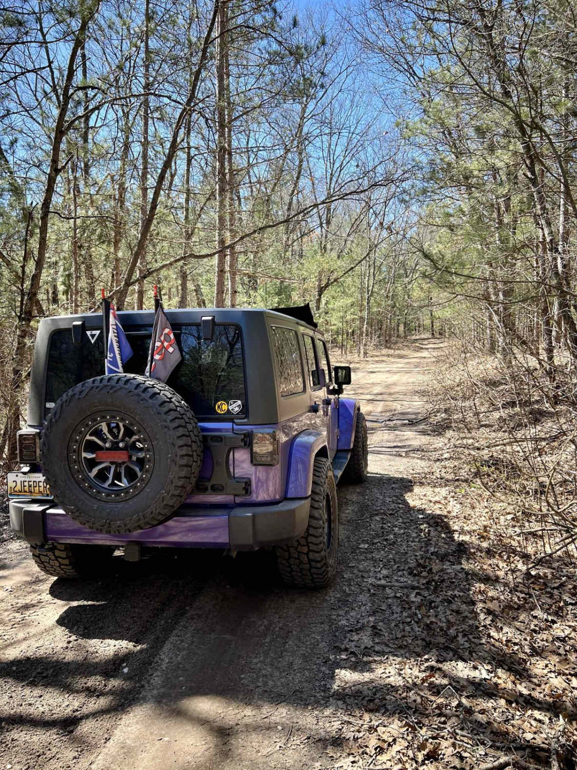
Old Baldy - FS 4979 can be accessed by the following ride types:
- High-Clearance 4x4
- SUV
- SxS (60")
- ATV (50")
- Dirt Bike
Old Baldy - FS 4979 Map
Popular Trails

South Meridian
East Fireline Trail
The onX Offroad Difference
onX Offroad combines trail photos, descriptions, difficulty ratings, width restrictions, seasonality, and more in a user-friendly interface. Available on all devices, with offline access and full compatibility with CarPlay and Android Auto. Discover what you’re missing today!