North Union Corners Road
Total Miles
7.2
Technical Rating
Best Time
Spring, Summer, Fall, Winter
Trail Type
Full-Width Road
Accessible By
Trail Overview
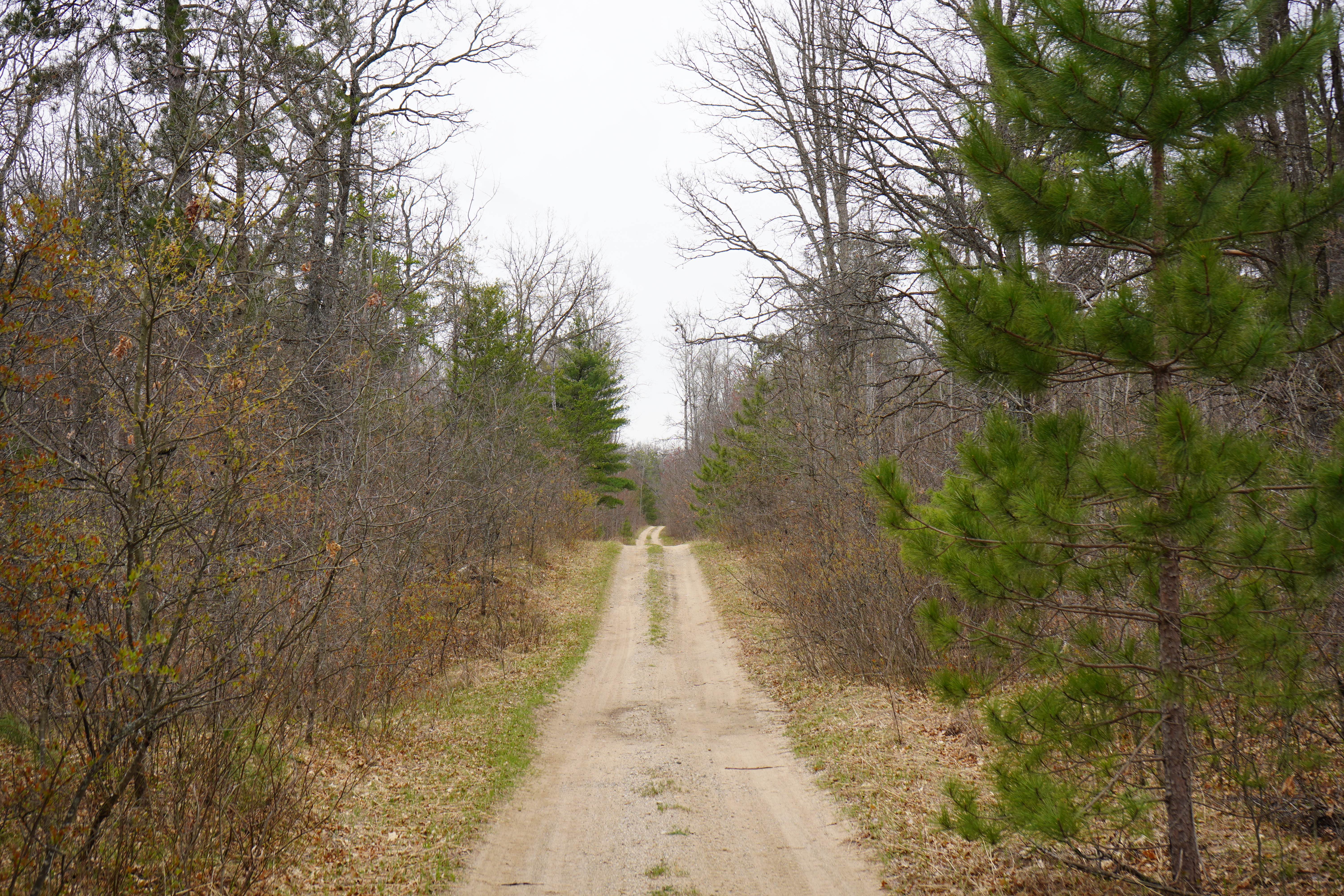
This is the northern section of Union Corners Road in the Huron National Forest that connects up to Zimwoske Road. This section is much more mild, less tight, and less hilly than its southern portion, which is accurately mapped as a blue trail. This northern section is a single-vehicle-wide sandy forest road passable to most 4WD vehicles. Snow will not be plowed in the winter, which may add to its difficulty.
Photos of North Union Corners Road
Difficulty
An easy single-wide forest road with sandy terrain. There may be some mild ruts.
History
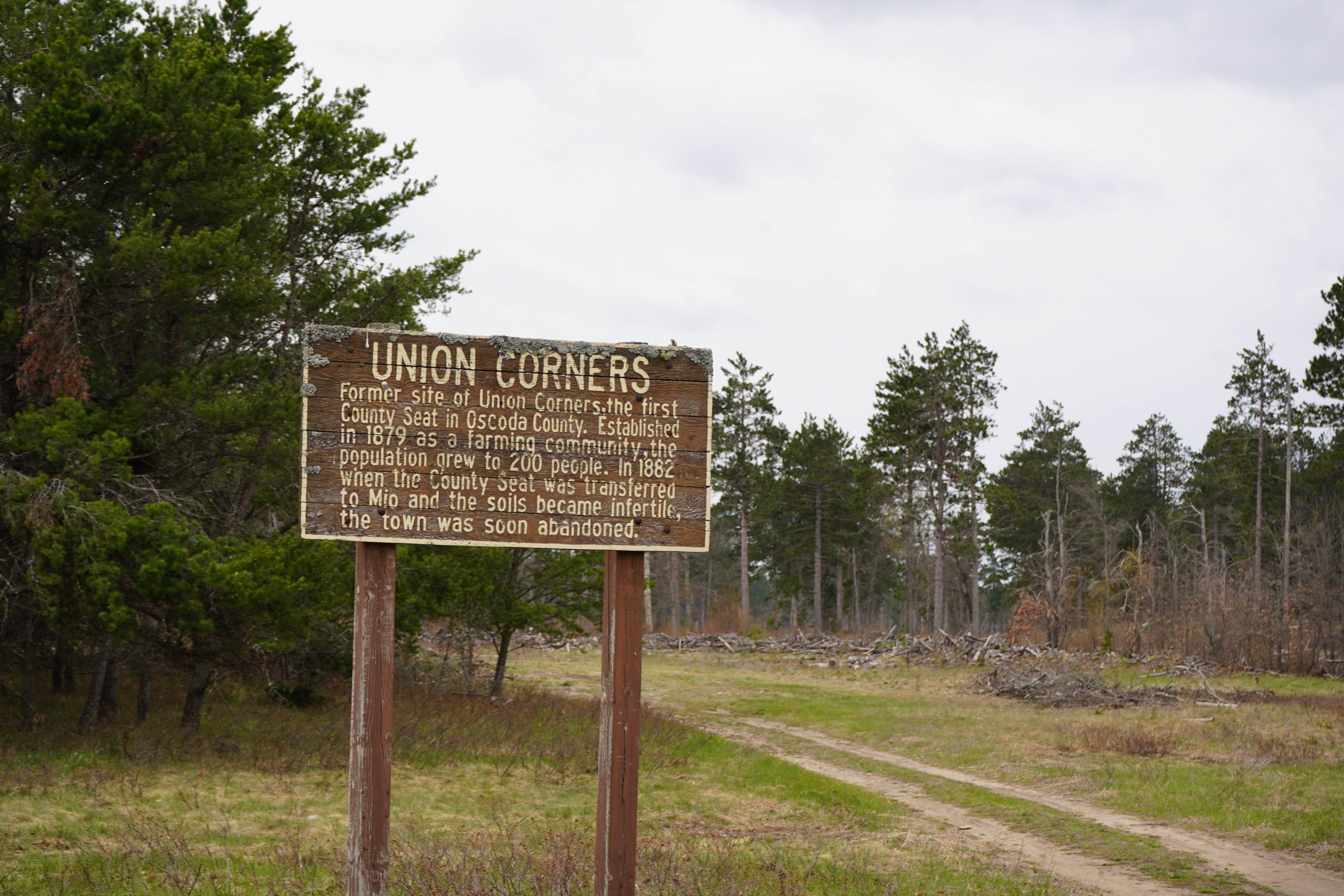
This road is named after the abandoned town of Union Corners. There is a sign along the trail that shares the story of Union Corners, which is the only noticeable evidence that a town ever existed there.
Status Reports
North Union Corners Road can be accessed by the following ride types:
- High-Clearance 4x4
- SUV
North Union Corners Road Map
Popular Trails

Rock Rapids spur

Windy Corners

The onX Offroad Difference
onX Offroad combines trail photos, descriptions, difficulty ratings, width restrictions, seasonality, and more in a user-friendly interface. Available on all devices, with offline access and full compatibility with CarPlay and Android Auto. Discover what you’re missing today!