Mio ORV Route - West
Total Miles
11.8
Technical Rating
Best Time
Spring, Summer, Fall, Winter
Trail Type
High-Clearance 4x4 Trail
Accessible By
Trail Overview
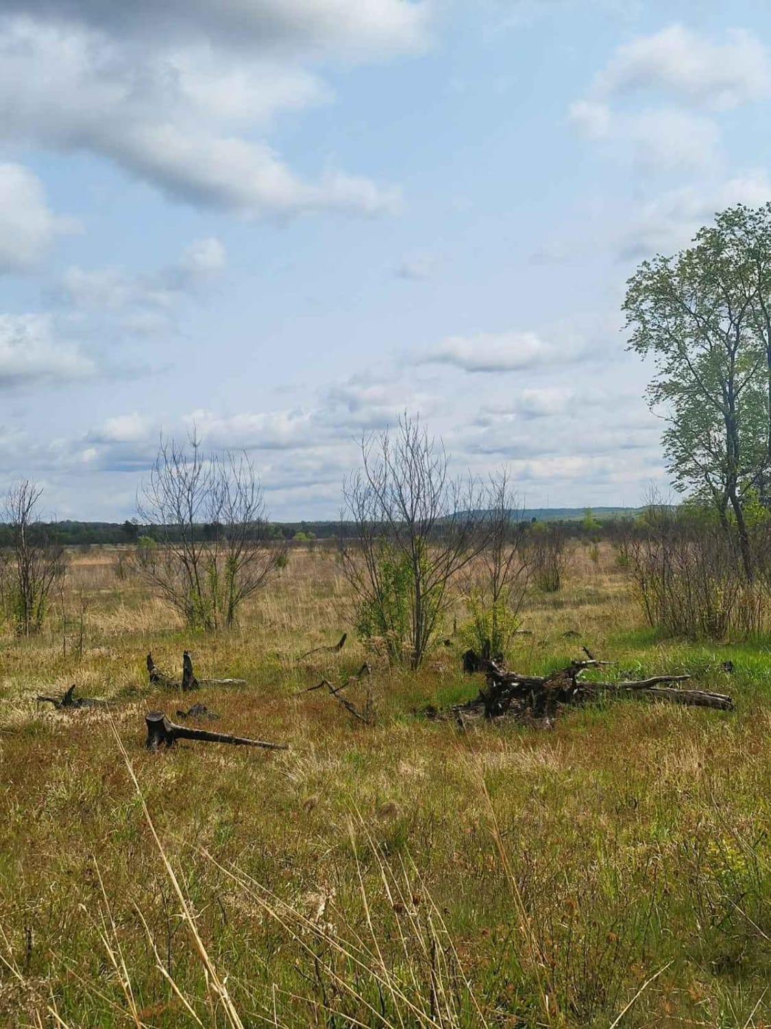
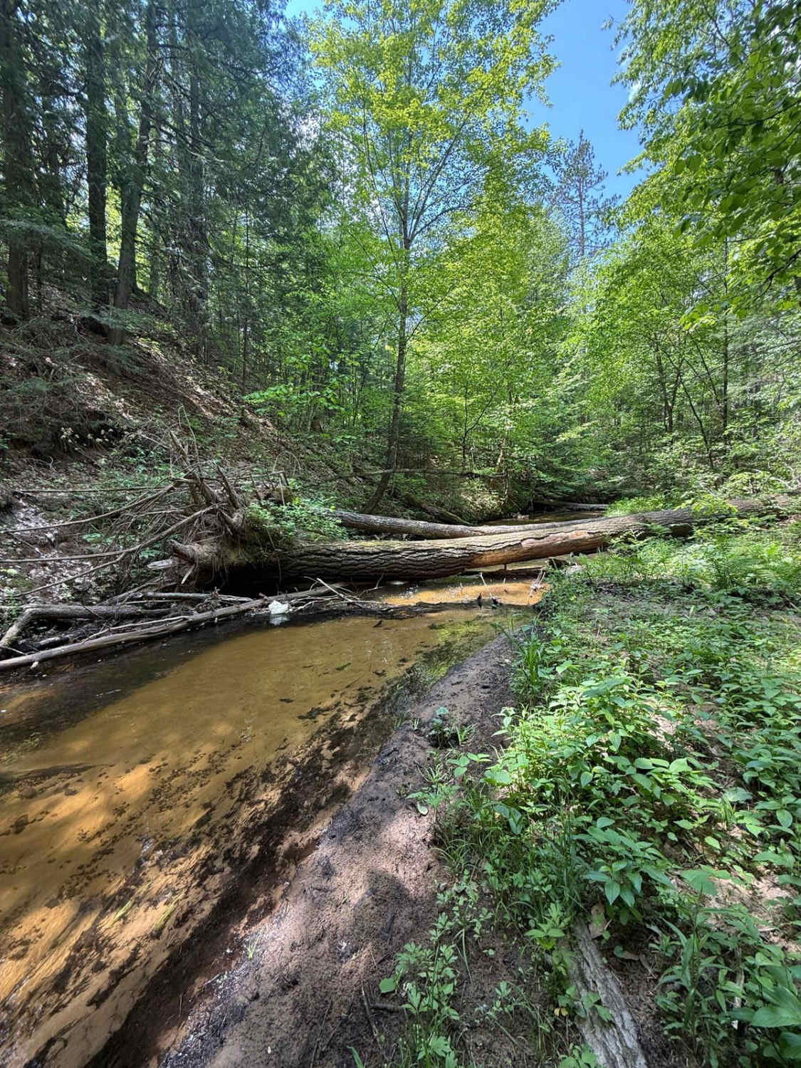
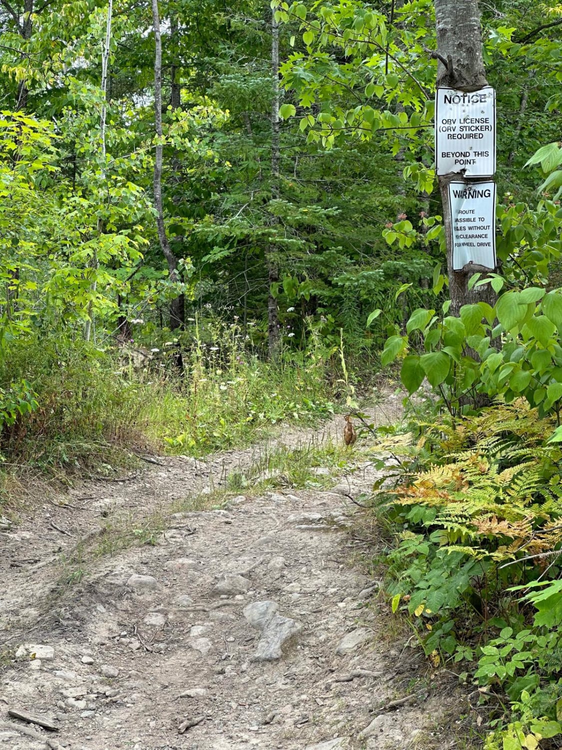
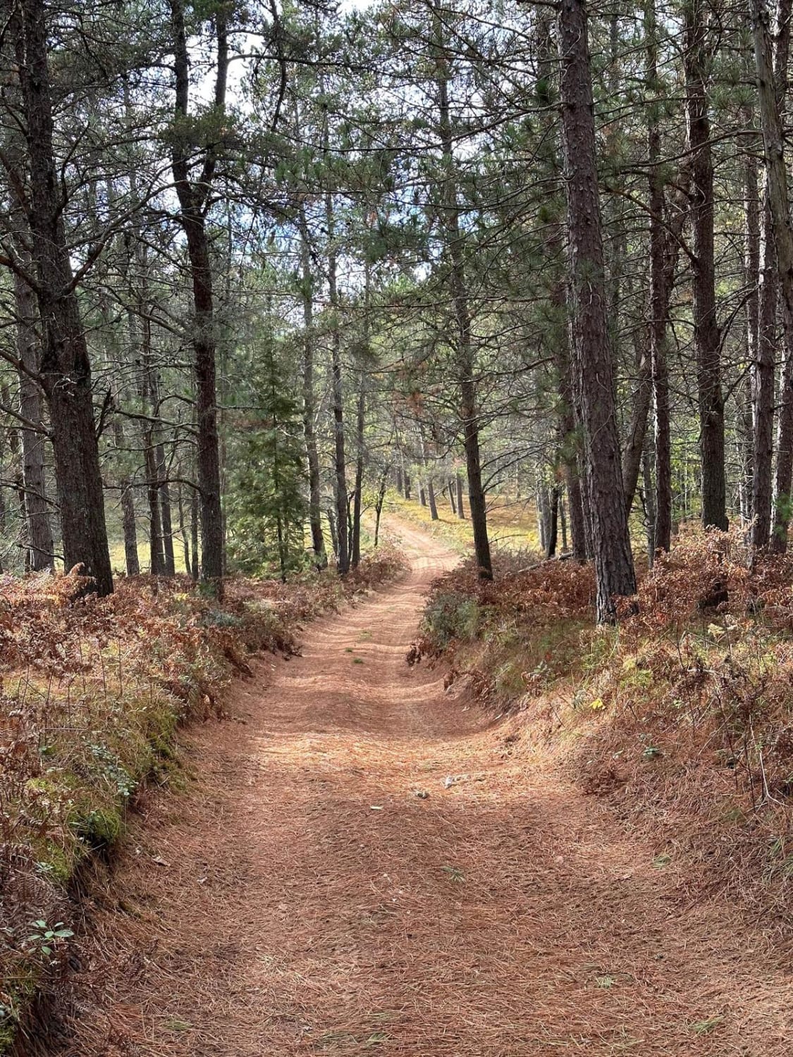
This is the west side of the Michigan DNR Mio ORV Route. It's open to full-size vehicles and smaller ones with an ORV and trail permit sticker. This section of the route is mostly soft sand with boulders. It travels through the woods of Northern Michigan over rolling hills and some scenic spots. Parts are shared-use trails and snowmobile trails in the winter. There is an ORV trailhead parking lot of the south end of the route called Muskrat Lake ORV Trailhead. Muskrat Lake State Forest Campground is a rustic campground and the ORV route ends directly into the campground which is located on the west side of the route. This campground is also on a small lake called Muskrat Lake.
Photos of Mio ORV Route - West
Difficulty
This trail is mostly soft sand with some boulders. It's been known to have some larger water holes on the trail during wet times, but they do dry off quickly as the area is sand.
Status Reports
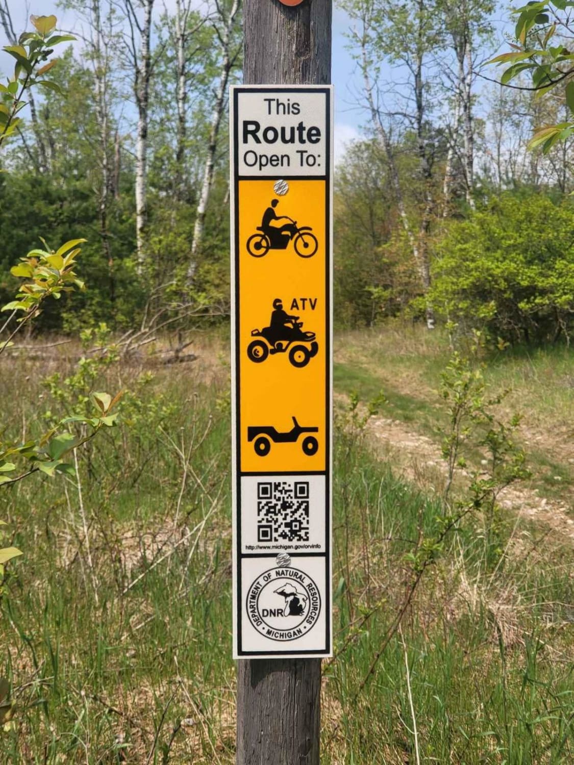
Mio ORV Route - West can be accessed by the following ride types:
- High-Clearance 4x4
- SxS (60")
- ATV (50")
- Dirt Bike
Mio ORV Route - West Map
Popular Trails
Glosinger Trail

Pot Hole Central Trail
The onX Offroad Difference
onX Offroad combines trail photos, descriptions, difficulty ratings, width restrictions, seasonality, and more in a user-friendly interface. Available on all devices, with offline access and full compatibility with CarPlay and Android Auto. Discover what you’re missing today!