Glosinger Trail
Total Miles
1.1
Technical Rating
Best Time
Spring, Summer, Fall, Winter
Trail Type
Full-Width Road
Accessible By
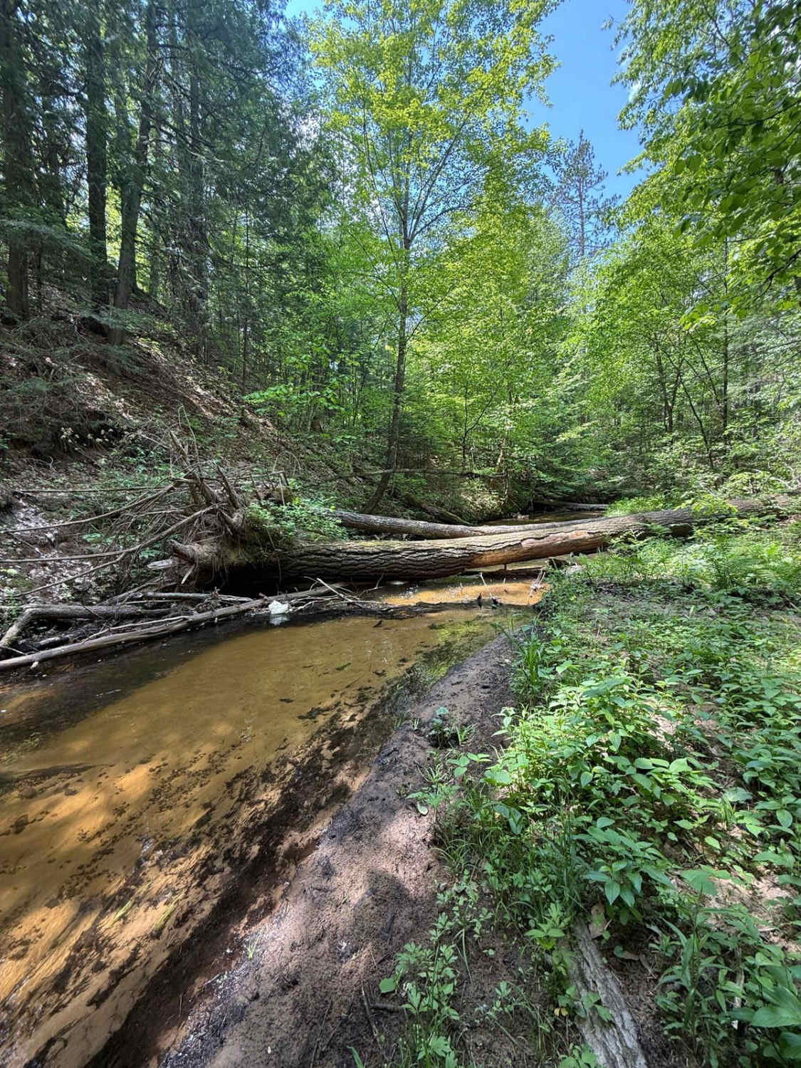
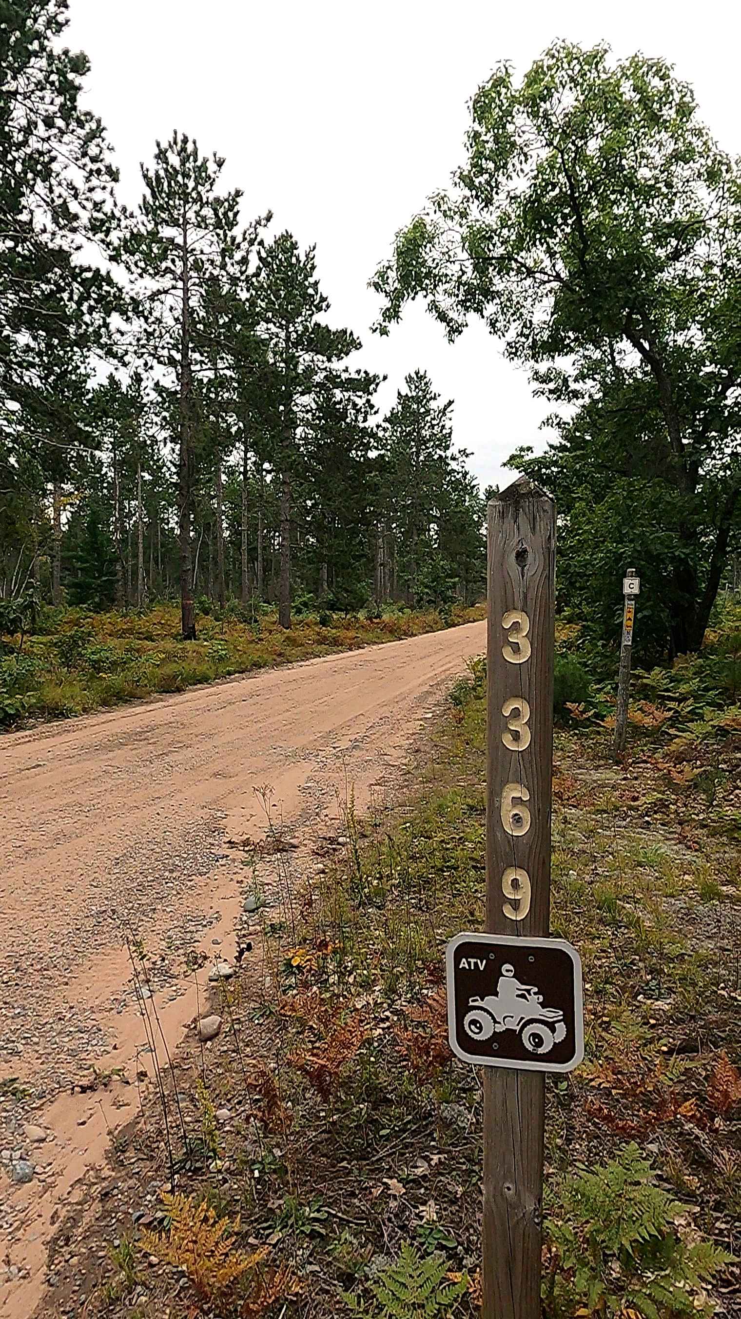
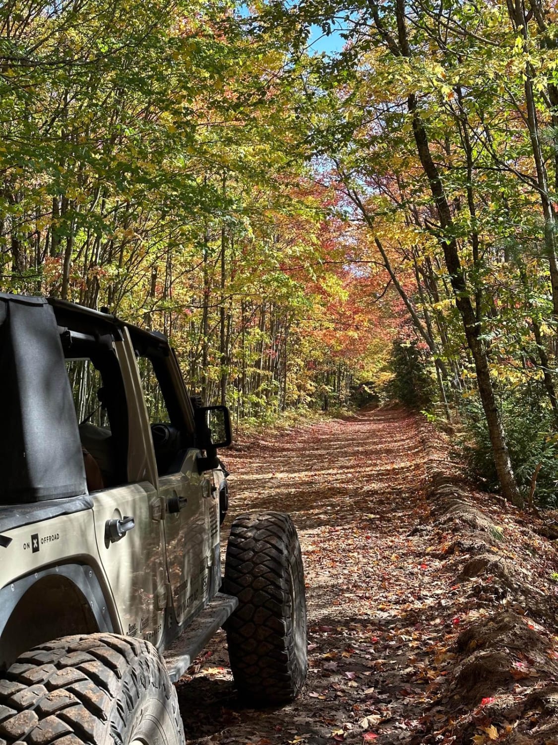
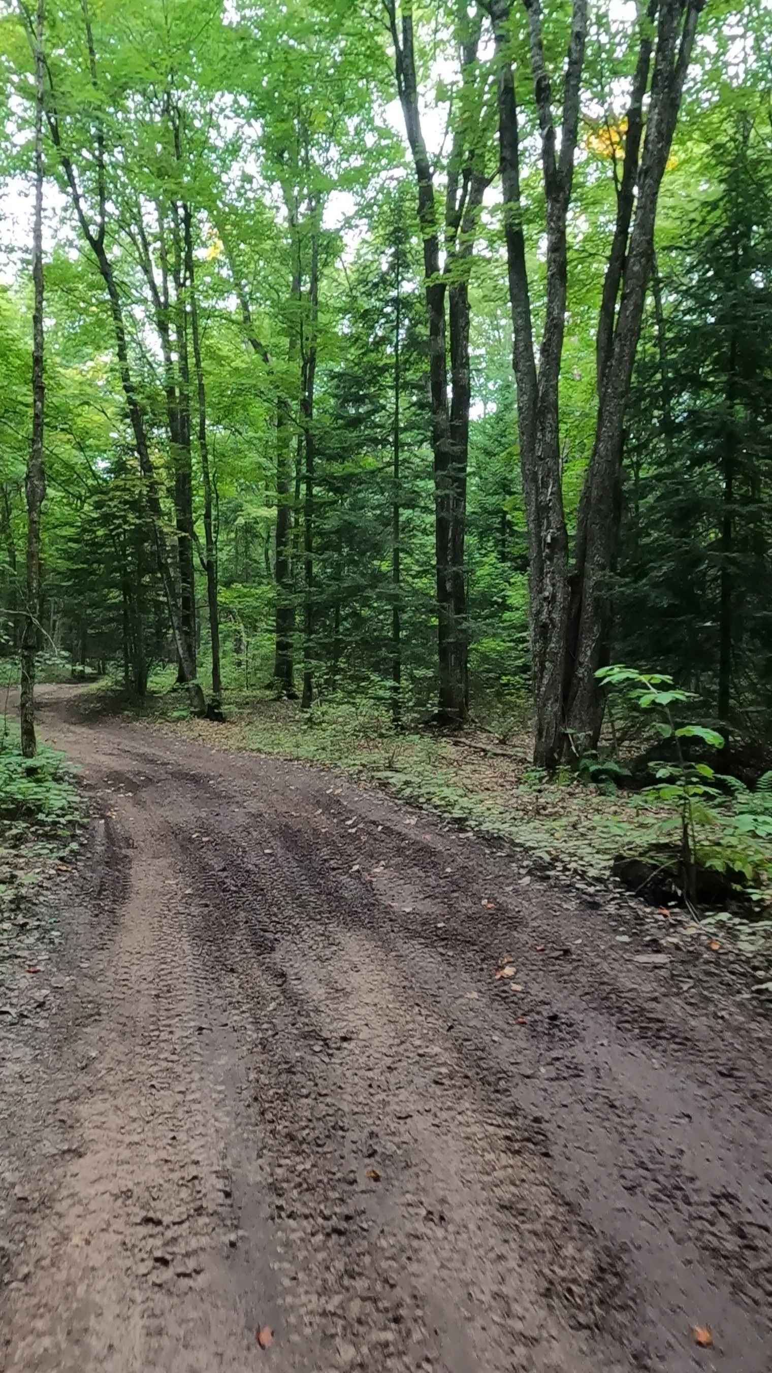
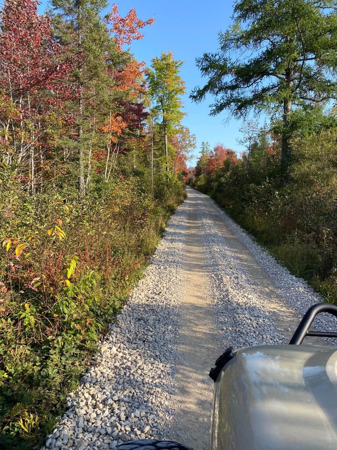
Trail Overview
License Plate Required! Glosinger Trail is a beautiful, fun, and easy track located just east of US HWY-131, making it very accessible. This route, which has a lot to offer, starts with a sandy dirt two-track in some open space. As you continue, the trail progressively gets tighter with overgrowth through this pristine section of the Cadillac Forest Management Unit. There's a lot of lush plant life along this trail to be seen. Like most of Michigan trails, conditions are dependent on the weather. Recent rainfall can cause mud/water holes that can get rutted out quickly. Please use caution and come prepared! Most of this trail is only wide enough for 1 vehicle with limited places to pass. Eventually, the route opens up a bit with a beautiful section of tall pine trees. Shortly after, the trail finishes at a small turnaround loop. Just to the side of the loop is a small dispersed campsite. The cool thing about this campsite is that the North Country National Scenic Trail (NCNST), or North Country Trail for short, runs through it. If you aren't familiar with the NCNST, the short version is that it's a 4800-mile-long hiking trail that spans 8 states in the northern US. At this campsite, there are also faint views of the Fife Lake Outlet (creek) below. If you plan on dispersed camping, PLEASE TREAD LIGHTLY, and seek more information at the local DNR Office/Ranger Station before camping here. There is a walking path down to the creek. It's very sandy and steep to get down and back up from the creek, but it's worth the quaint views. Regardless of the conditions, this is an incredible trail with a variety of things for everyone!
Photos of Glosinger Trail

Difficulty
This was only given a Technical Rating & Difficulty of 2 due to the trail typically only being wide enough for 1 to 2 vehicles. Otherwise, this trail could be rated as a 1.
Status Reports
Glosinger Trail can be accessed by the following ride types:
- High-Clearance 4x4
- SUV
- SxS (60")
- ATV (50")
- Dirt Bike
Glosinger Trail Map
Popular Trails
Iroquois - FS 3369
FS 3177 Part 2
Lavender Lake Road
Murphy Creek to Thunder Lake - Part 7
The onX Offroad Difference
onX Offroad combines trail photos, descriptions, difficulty ratings, width restrictions, seasonality, and more in a user-friendly interface. Available on all devices, with offline access and full compatibility with CarPlay and Android Auto. Discover what you’re missing today!