McEachron Road
Total Miles
2.6
Technical Rating
Best Time
Spring, Summer, Fall
Trail Type
Full-Width Road
Accessible By
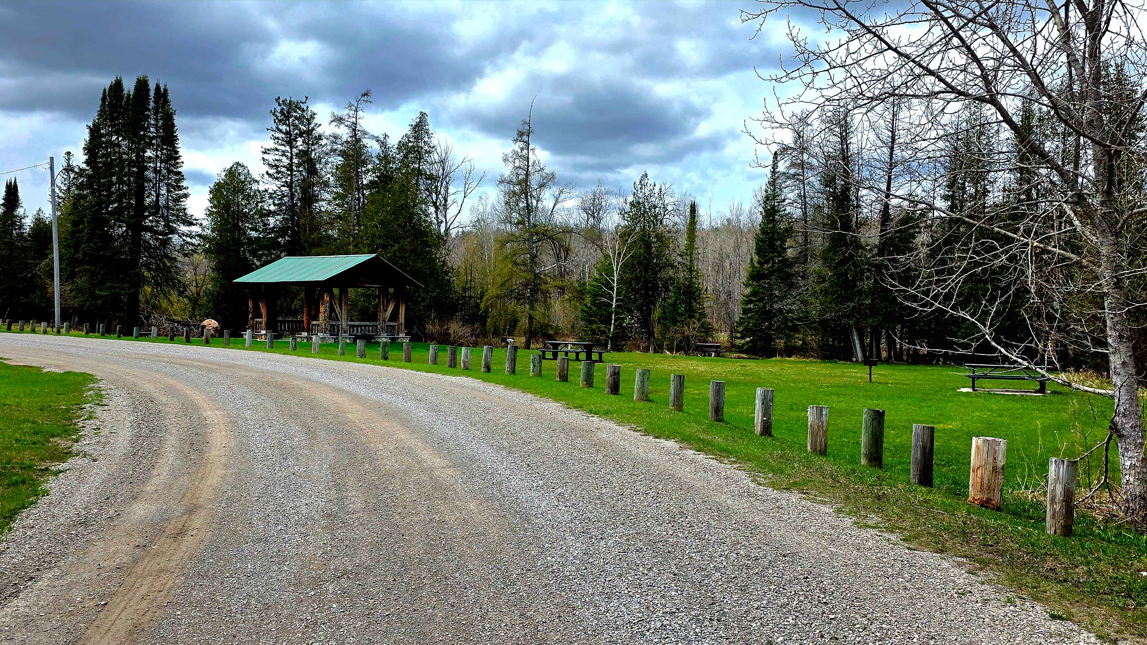
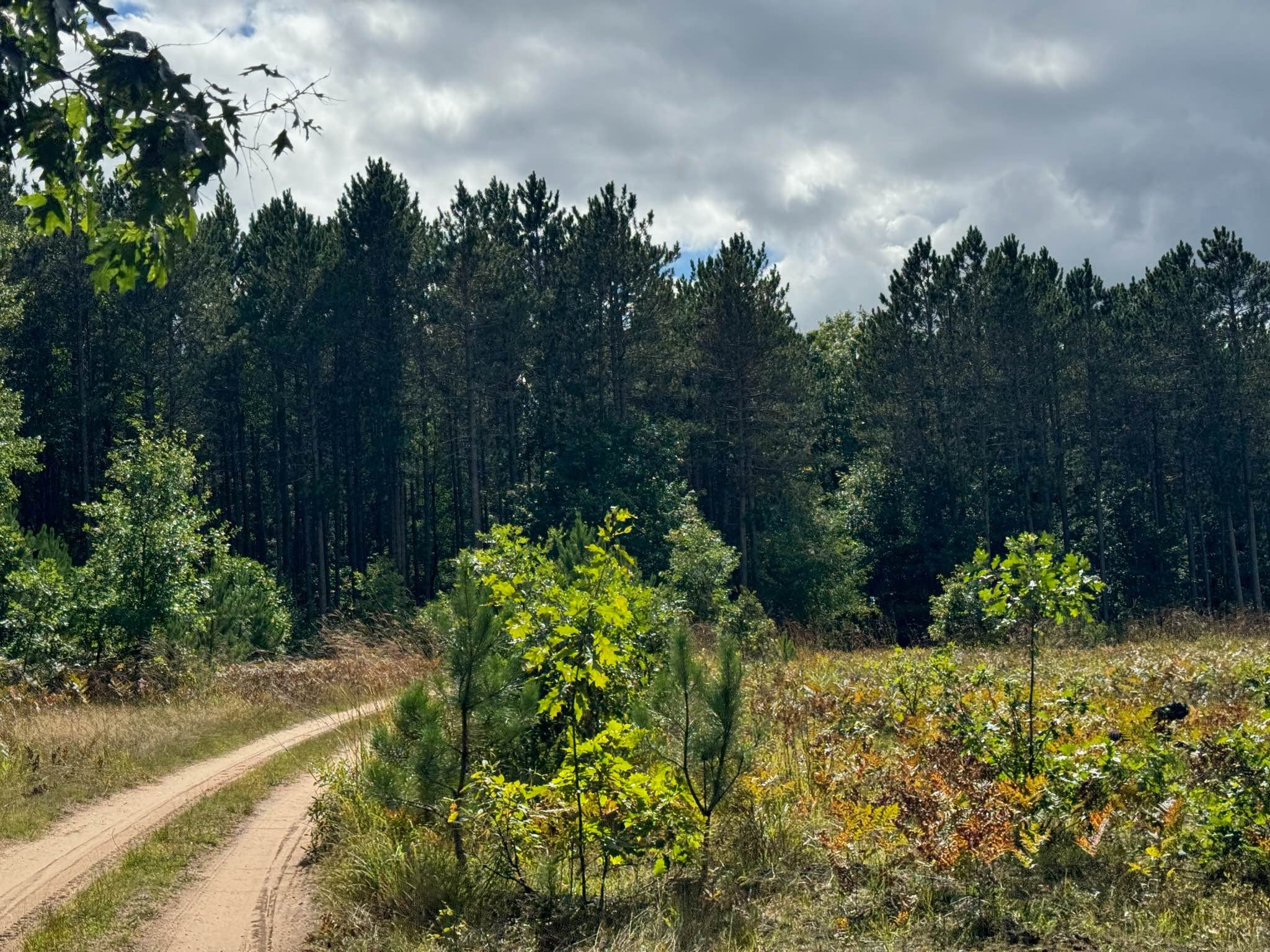
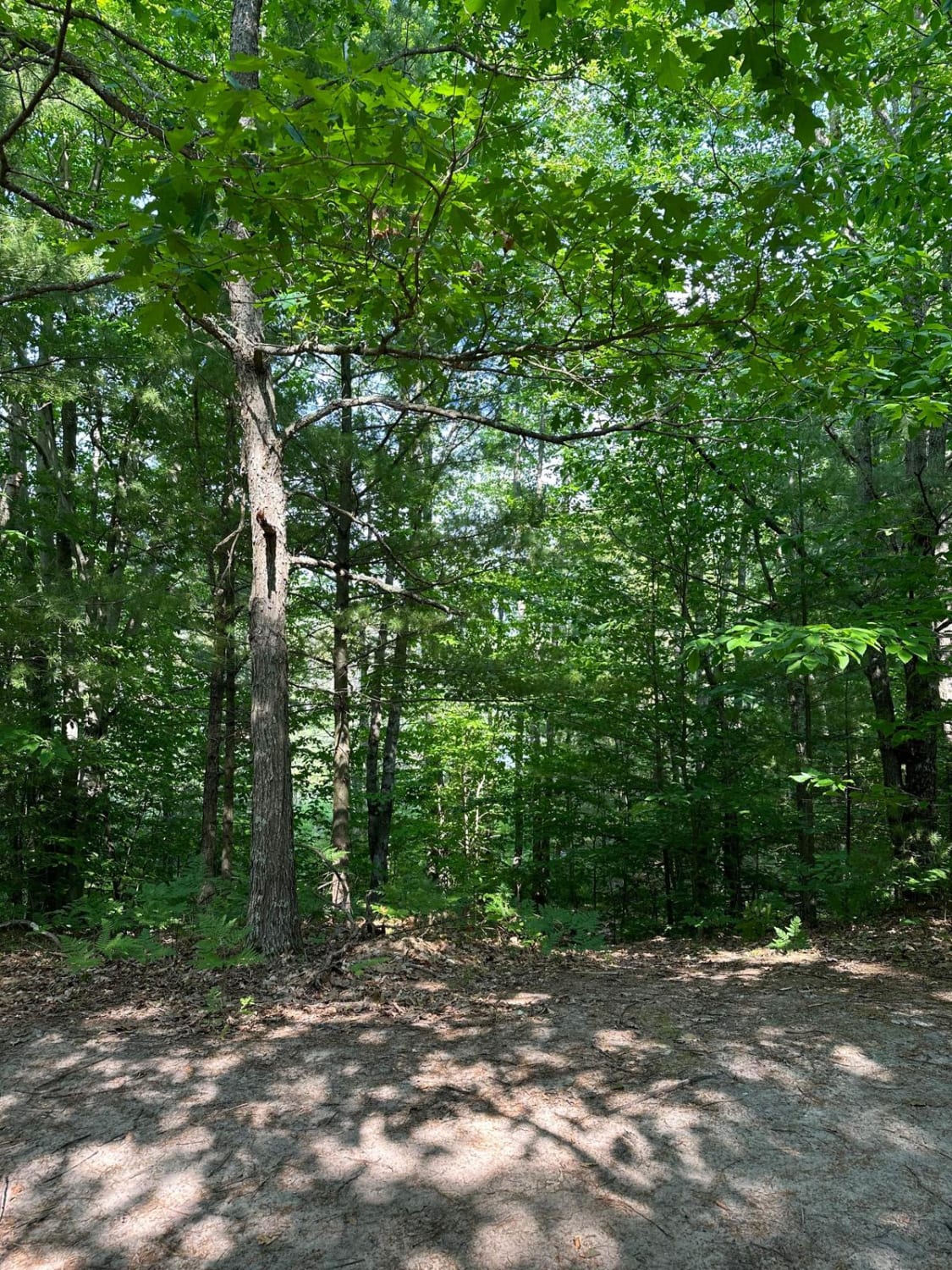
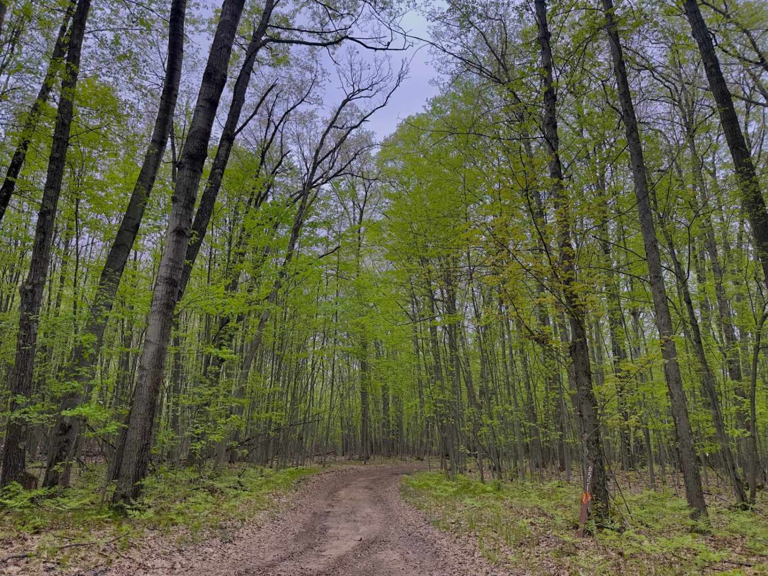
Trail Overview
A point-to-point trail seasonal road that will end blend/merge with other trails in the area, At the east end near Wolverine it starts dirt-gravel, it's a flat mostly firm trail with a few hills and nice scenery with a bridge over the river, some areas get sand and mud and is softer by the river area also has gravel in some areas so pretty much makes it pretty easy to ride along trail, pretty much wide open and enough room for oncoming vehicles to get by. No rocks or ledges or ruts, so fine for full-size vehicles. As you go across the river, you might see wildlife getting a drink in the scenic forest. Should have no problems with terrain on this trail except for a little mud after a heavy rain.
Photos of McEachron Road

Difficulty
Should be an easy scenic ride.
Status Reports
McEachron Road can be accessed by the following ride types:
- High-Clearance 4x4
- SUV
- SxS (60")
- ATV (50")
- Dirt Bike
McEachron Road Map
Popular Trails
Wallin Road Part 3

The onX Offroad Difference
onX Offroad combines trail photos, descriptions, difficulty ratings, width restrictions, seasonality, and more in a user-friendly interface. Available on all devices, with offline access and full compatibility with CarPlay and Android Auto. Discover what you’re missing today!