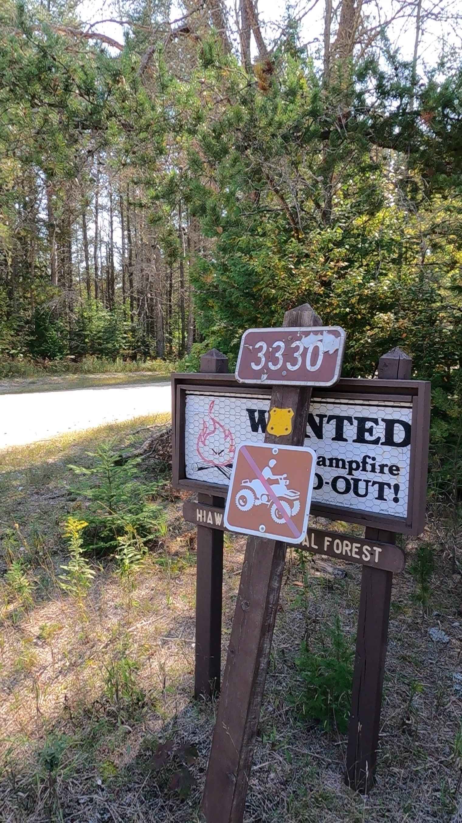
Koski Road - FS 3330
Total Miles
3.6
Technical Rating
Best Time
Spring, Summer, Fall
Trail Type
Full-Width Road
Accessible By
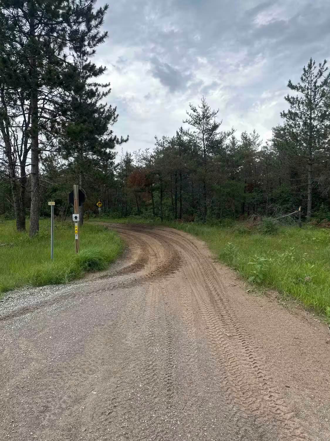
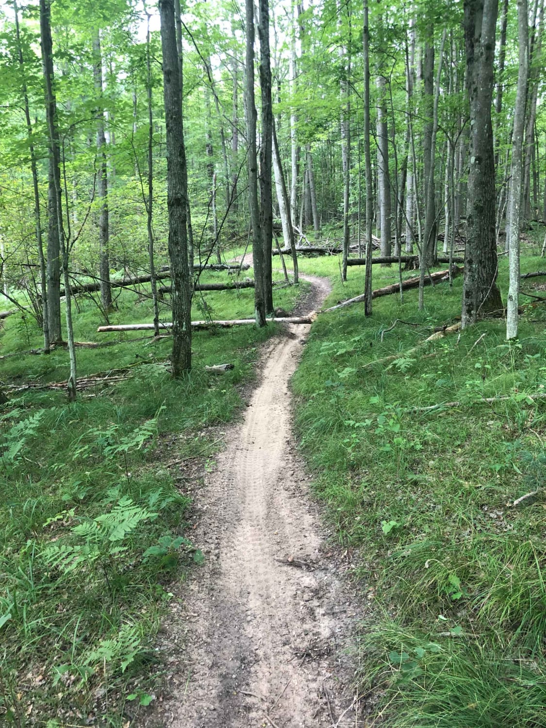
Trail Overview
Federal Forest Service Road (FS) 3330, known as Koski Road/County Road 531 on the north portion and known as Ozark Road/27 Mile Road on the south portion. This route is a federally owned/ locally maintained, Level-2/ Level-3 forest road with a surface composition of dirt, sand, gravel, and native material. This route is currently open and in fair condition; it is not a DNR road (ORV use is subject to local government regulations). It connects FS 3122 - Kenneth to FS 3148 and ORV Route M to M-123 Tahquamenon Scenic Parkway. Description created on September 17, 2025.
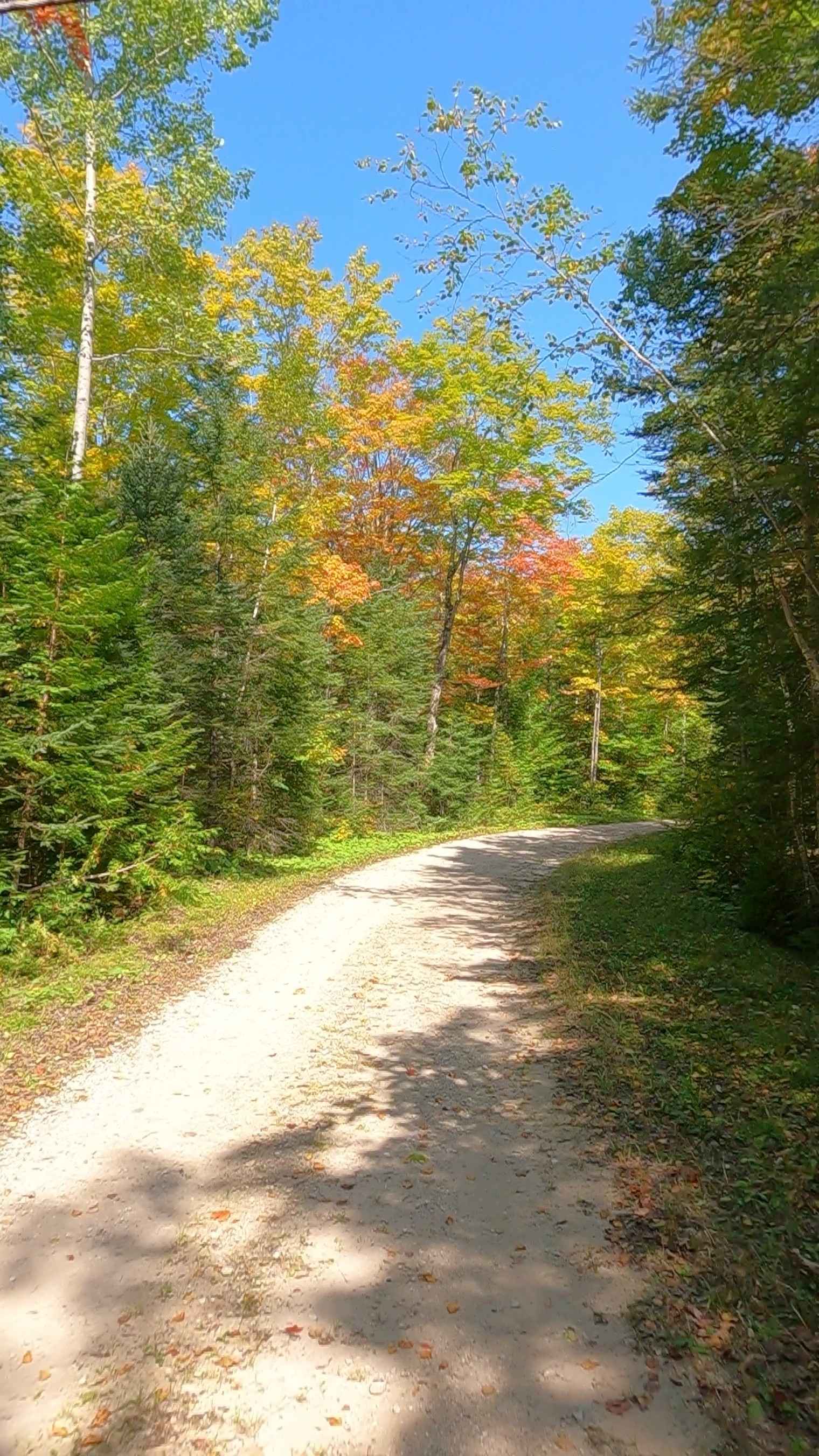
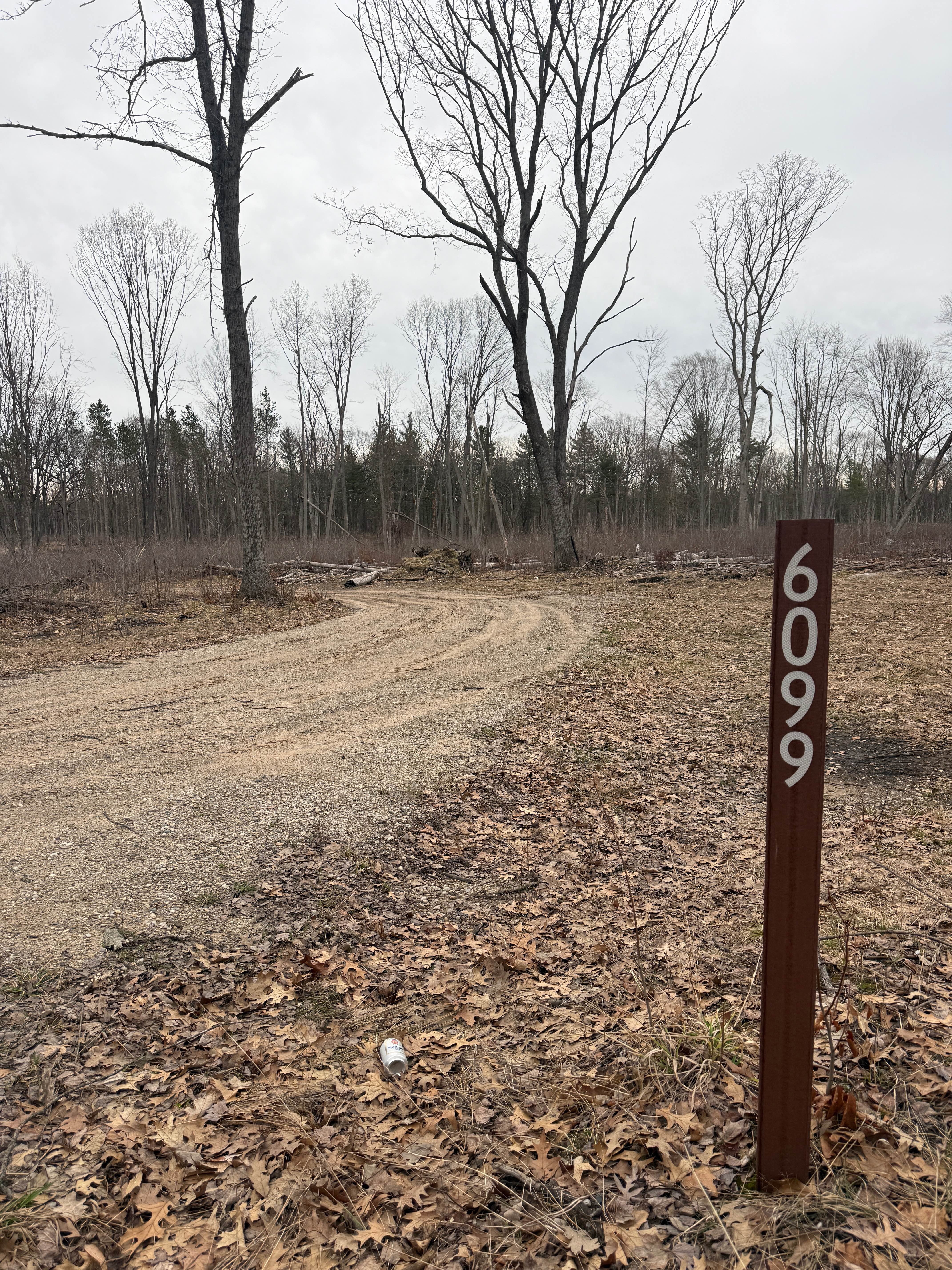
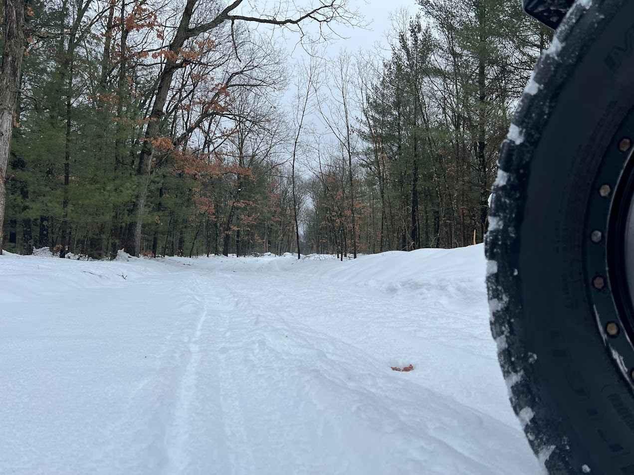
Photos of Koski Road - FS 3330
Difficulty
Gravel, dirt, sandy road, unmaintained after rain or snow that may give rise to shallow water crossings and obstacles under 12 inches on the trail, including small ledges. This road is typically one to two vehicles in width, with portions that narrow down to a "Two Track" road.
History
County Road 531 (CR 531) near St. Ignace and through the broader Delta/Mackinac County area acts as a crucial, historically significant, all-season transport corridor, often serving as a key connector to major routes like M-35 and US-2. It has long served industrial and commercial traffic, with recent, ongoing, and state-funded improvements focusing on its vital role in local logistics.
Status Reports
Koski Road - FS 3330 can be accessed by the following ride types:
- High-Clearance 4x4
- SUV
- SxS (60")
- ATV (50")
- Dirt Bike
Koski Road - FS 3330 Map
Popular Trails
NFS 6099/6098/6100
Clear Lake State Park trail head
Evart Motorcycle Trail
The onX Offroad Difference
onX Offroad combines trail photos, descriptions, difficulty ratings, width restrictions, seasonality, and more in a user-friendly interface. Available on all devices, with offline access and full compatibility with CarPlay and Android Auto. Discover what you’re missing today!