Hoy Road - FS 4457
Total Miles
3.1
Technical Rating
Best Time
Spring, Summer, Fall
Trail Type
Full-Width Road
Accessible By
Trail Overview
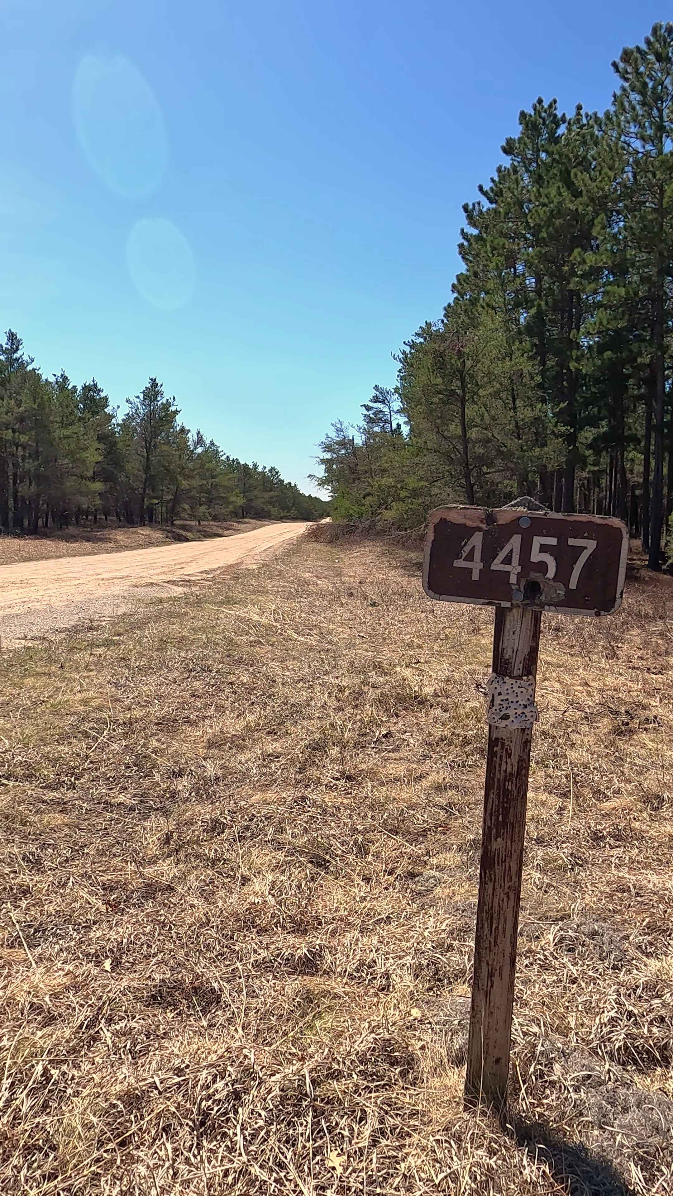
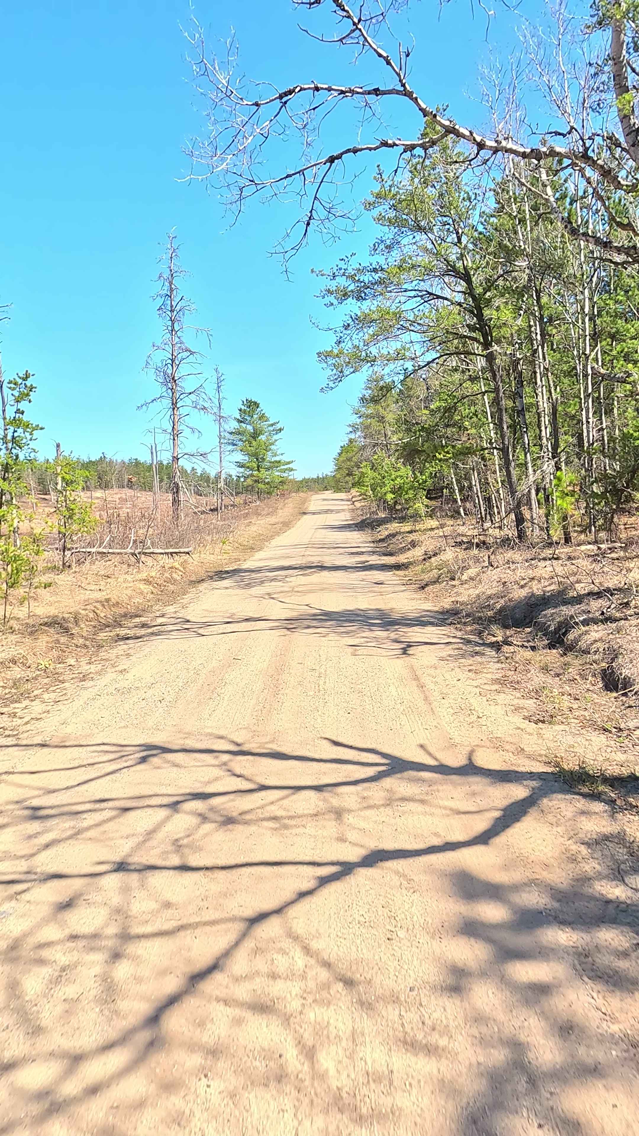
Federal Forest Service Road (FS) 4457, also known as Hoy Road, is a federally owned/ locally maintained, Level-2/ Level-3 forest road with a surface composition of dirt, sand, gravel, and native material. This route is currently open and in fair condition; it is not a DNR road (ORV use is subject to local government regulations). It traverses through the Huron National Forest, connecting Hughes Lake Road H57 (MAT), FS 4462- Vaughn Road, FS 4461to Curtisville Road.
Photos of Hoy Road - FS 4457
Difficulty
Sand, dirt, gravel path, typically unmaintained after rain or snow, that may give rise to shallow water crossings and obstacles under 12" on the trail, including small ledges.
History
Hoy Road in Mio, Michigan, is situated within a region deeply rooted in Oscoda County's 19th-century logging history and early 20th-century Amish agricultural settlement. Located near the AuSable River, this area in Mentor Township is known for its rural character.
Status Reports
Hoy Road - FS 4457 can be accessed by the following ride types:
- High-Clearance 4x4
- SUV
- SxS (60")
- ATV (50")
- Dirt Bike
Hoy Road - FS 4457 Map
Popular Trails

Baby Nut Check

The onX Offroad Difference
onX Offroad combines trail photos, descriptions, difficulty ratings, width restrictions, seasonality, and more in a user-friendly interface. Available on all devices, with offline access and full compatibility with CarPlay and Android Auto. Discover what you’re missing today!