Hoop - FS 3059
Total Miles
0.9
Technical Rating
Best Time
Spring, Summer, Fall
Trail Type
Full-Width Road
Accessible By
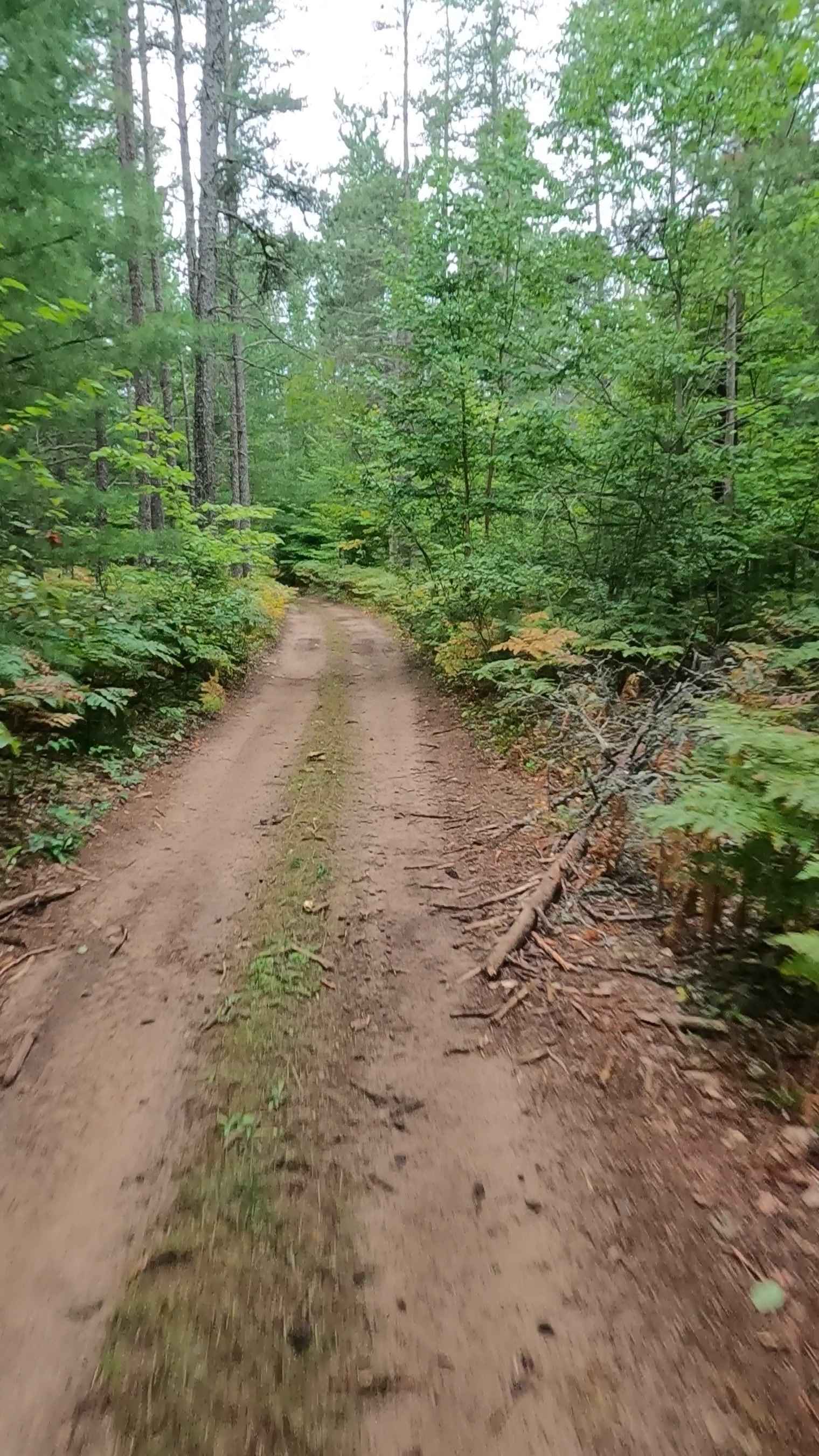
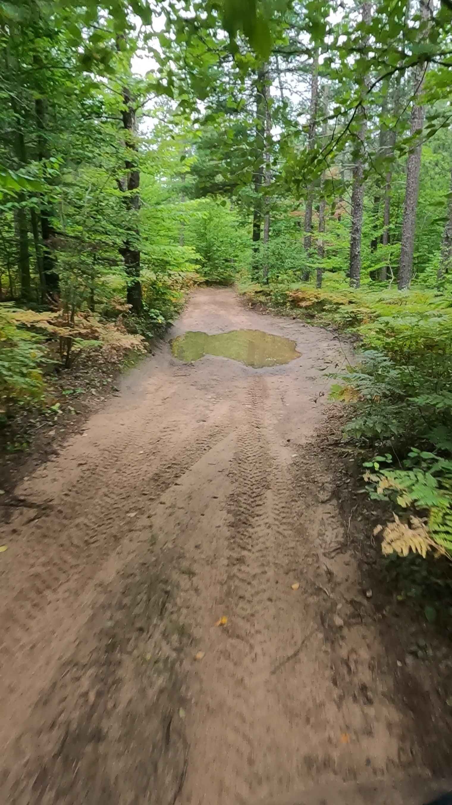
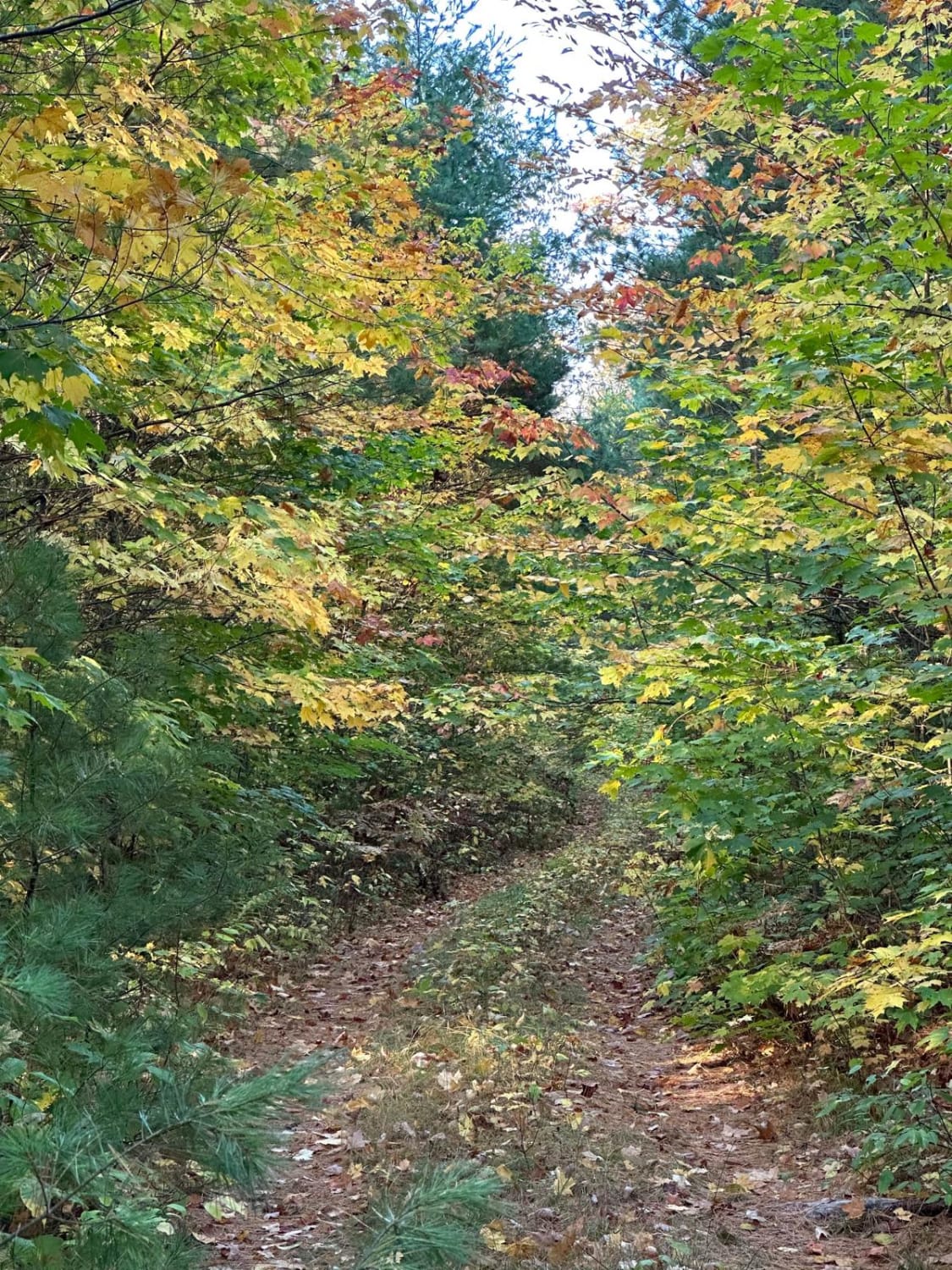
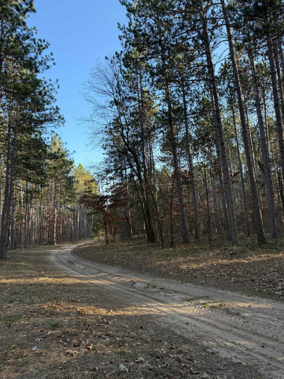
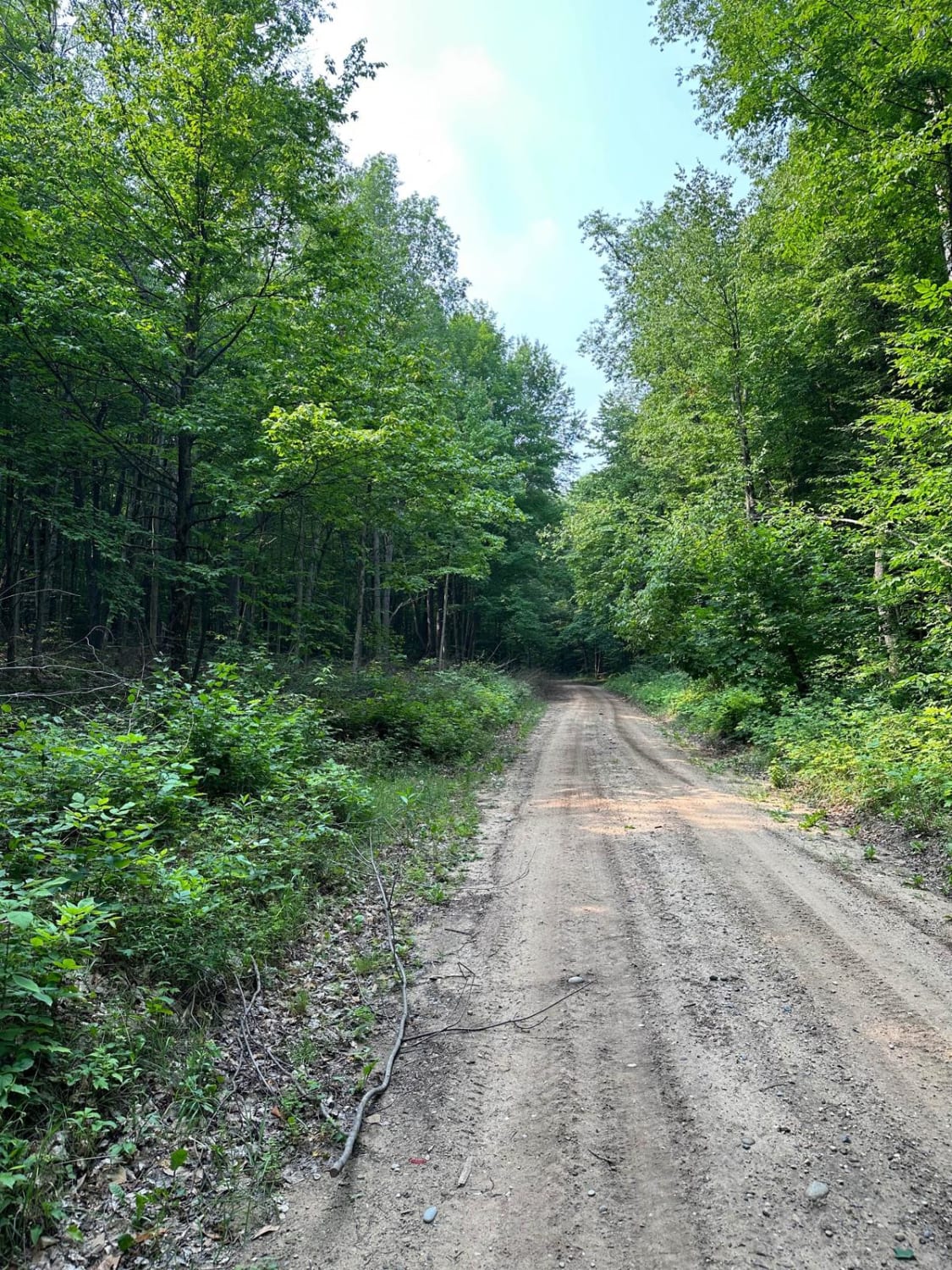
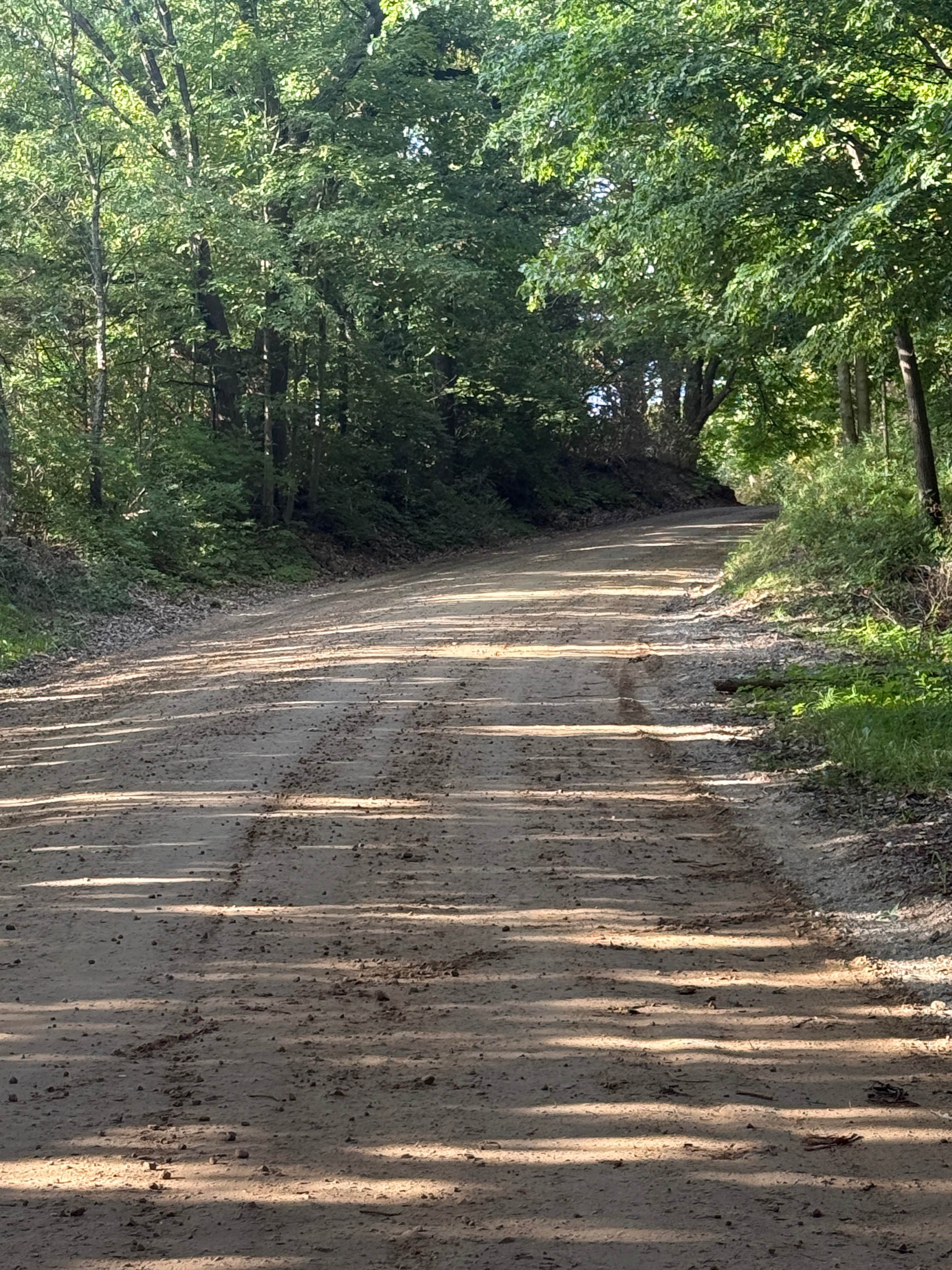
Trail Overview
Federal Forest Service Road 3059, also known as Hoop, is a federally owned/ locally maintained, Level-2/ Level-3 forest road with a surface composition of dirt, sand, gravel, and native material. This route is currently open and in fair condition; it is not a DNR road (ORV use is subject to local government regulations) and connects West Tower Road to FS 3678 and FS 3472. Description created on September 11, 2025.
Photos of Hoop - FS 3059
Difficulty
Dirt, gravel, sand, grass, and a rooted path, typically unmaintained after rain or snow, may give rise to shallow water crossings and obstacles under 12 inches on the trail, including small ledges. This route is a narrow "Two-Track" that is one vehicle in width.
History
Bay Mills has been a significant site for the Ojibwe (Chippewa) people for centuries, with a rich history centered on Whitefish Bay and Lake Superior fishing. Officially established in 1860, the community became a federally recognized tribe in 1936, later launching Bay Mills Community College (1981) and major economic developments like casinos.
Status Reports
Hoop - FS 3059 can be accessed by the following ride types:
- High-Clearance 4x4
- SUV
- SxS (60")
- ATV (50")
- Dirt Bike
Hoop - FS 3059 Map
Popular Trails
Pingree Trail
The onX Offroad Difference
onX Offroad combines trail photos, descriptions, difficulty ratings, width restrictions, seasonality, and more in a user-friendly interface. Available on all devices, with offline access and full compatibility with CarPlay and Android Auto. Discover what you’re missing today!