FDR 6930
Total Miles
12.8
Technical Rating
Best Time
Spring, Fall, Summer
Trail Type
Full-Width Road
Accessible By
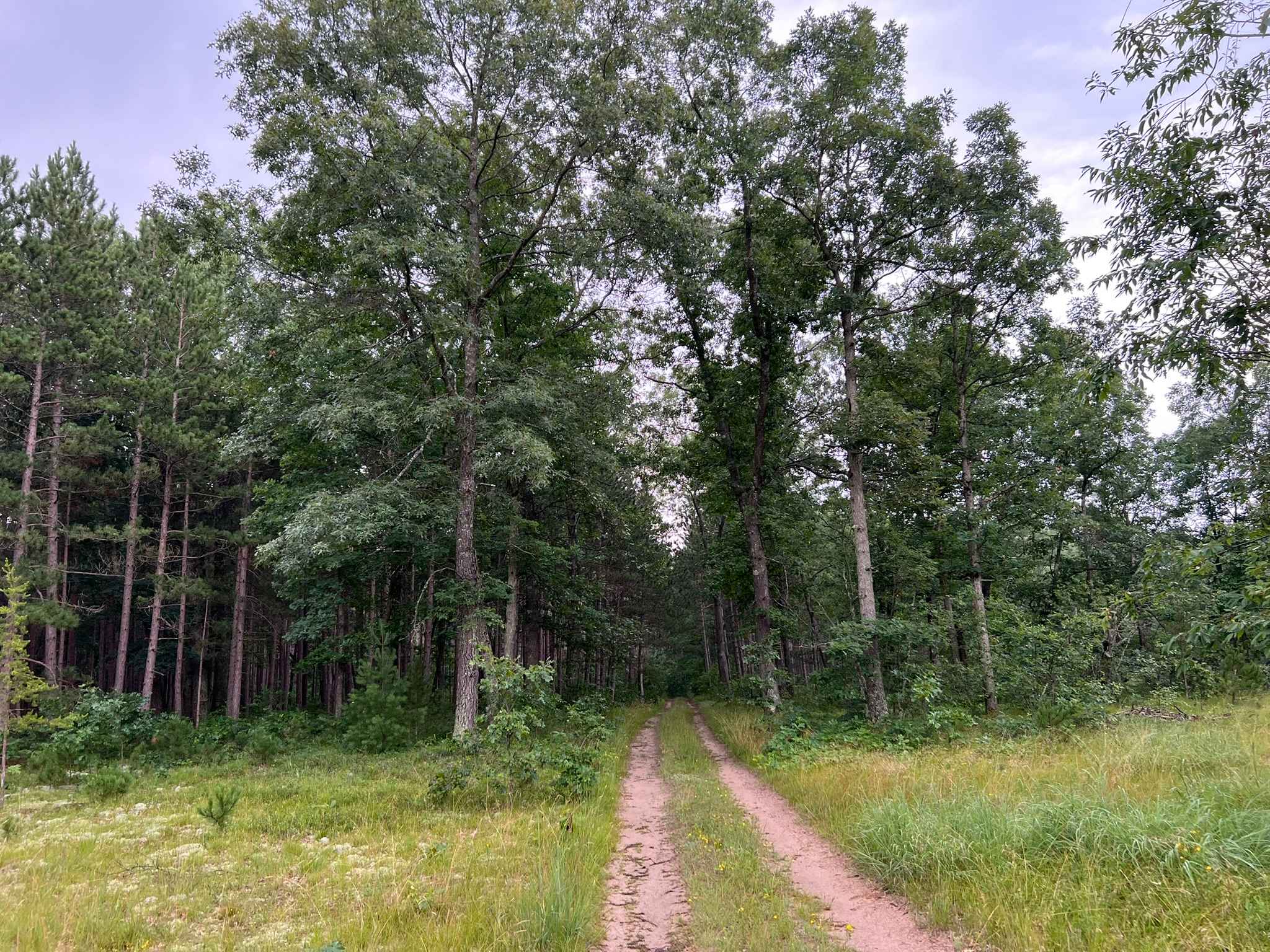
Trail Overview
This is FDR 6930, located in Ontonagon County, Michigan. This trail begins at its northern Intersection with Old M28, and travels south to north, where it ends at its intersection with Two Mile Rd. This trail, if traveled north to south, begins in farm country, surrounded by open fields and prairies. After a couple of miles, the trail then begins to narrow as it enters the Ottawa National Forest. The remainder of the trail is a mix of tight switchbacks, long straights, sweeping corners, and mild rolling hills. The section of the Ottawa National Forest that this trail travels through is very dense poor sight lines in tight sections of the trail are a result. The trail navigates in and around lowland swamp areas. Downed trees and wet spots are common here and can easily be hidden from the poor sight lines in areas. The surface of the trail is a mix of hard-packed and loose gravel.
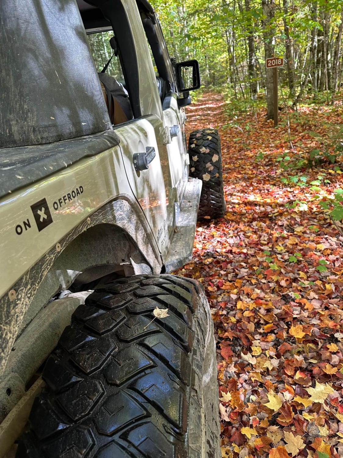
Photos of FDR 6930


Difficulty
This trail can be navigated by individuals of all experience levels. The trail has a very solid surface, allowing for easy vehicle control at speed. Sight lines throughout the trail range from excellent to poor, depending on the terrain and foliage. The trail width for most of the route is just over one vehicle wide, but there are numerous areas to pull over and allow vehicles to pass. It is not uncommon to see downed trees on this trail in some of the lowland areas. These can appear unexpectedly and be hidden by blind corners or the reflection off of water on the trail. These lowland areas will collect water across the trail; however, the trail surface below remains strong, allowing for easy crossing.
FDR 6930 can be accessed by the following ride types:
- High-Clearance 4x4
- SUV
- SxS (60")
- ATV (50")
FDR 6930 Map
Popular Trails
Forest Service Road 8259


The onX Offroad Difference
onX Offroad combines trail photos, descriptions, difficulty ratings, width restrictions, seasonality, and more in a user-friendly interface. Available on all devices, with offline access and full compatibility with CarPlay and Android Auto. Discover what you’re missing today!