Davis Lake
Total Miles
1.6
Technical Rating
Best Time
Spring, Summer, Fall
Trail Type
Full-Width Road
Accessible By
Trail Overview
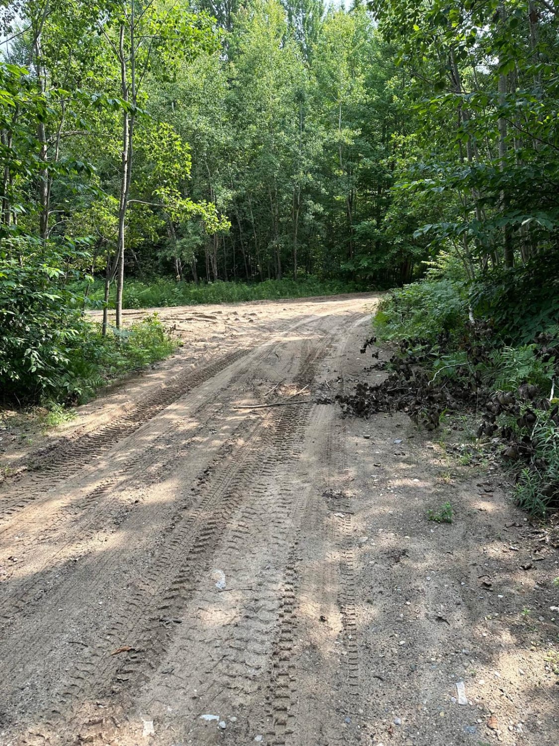
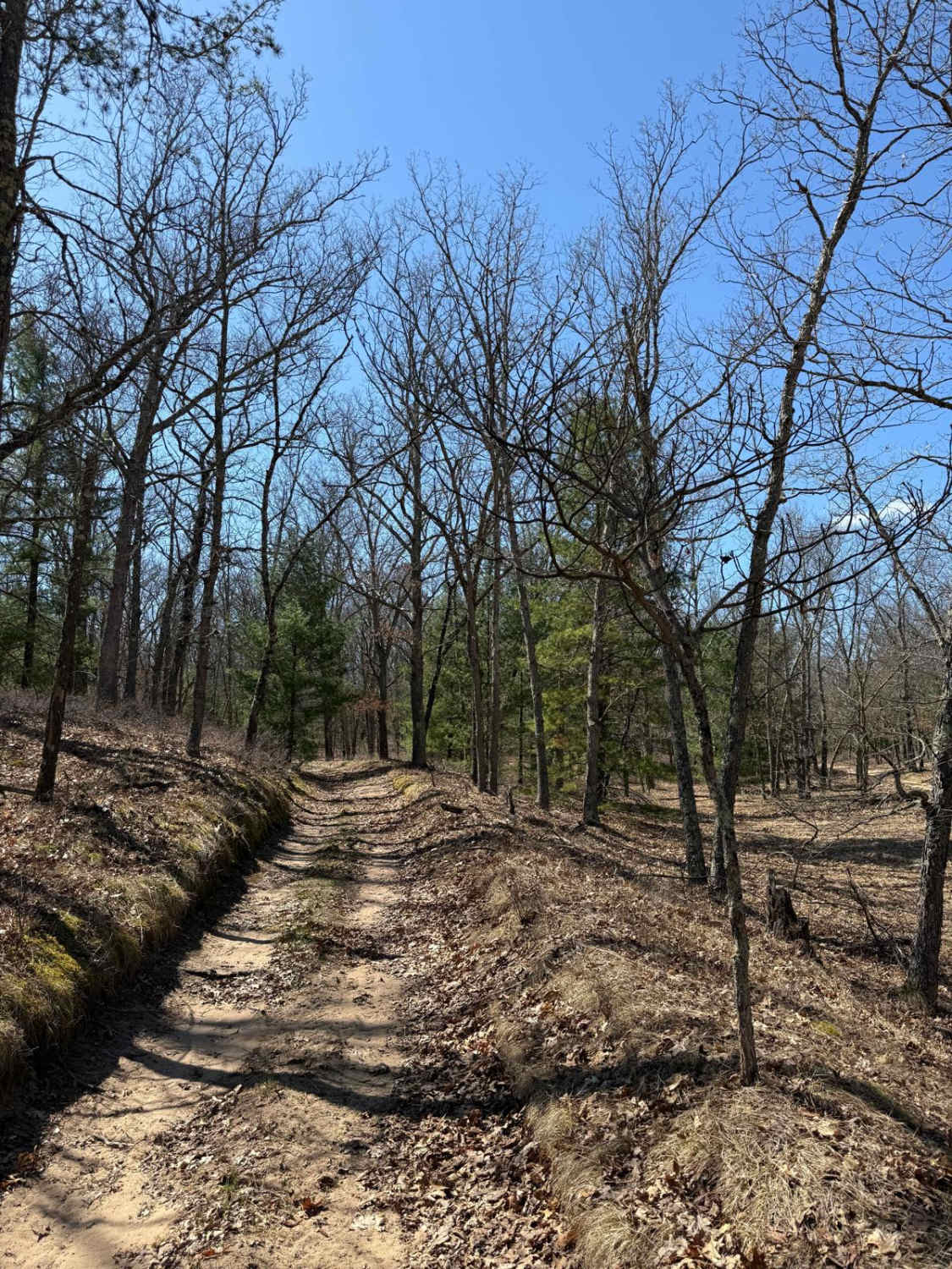
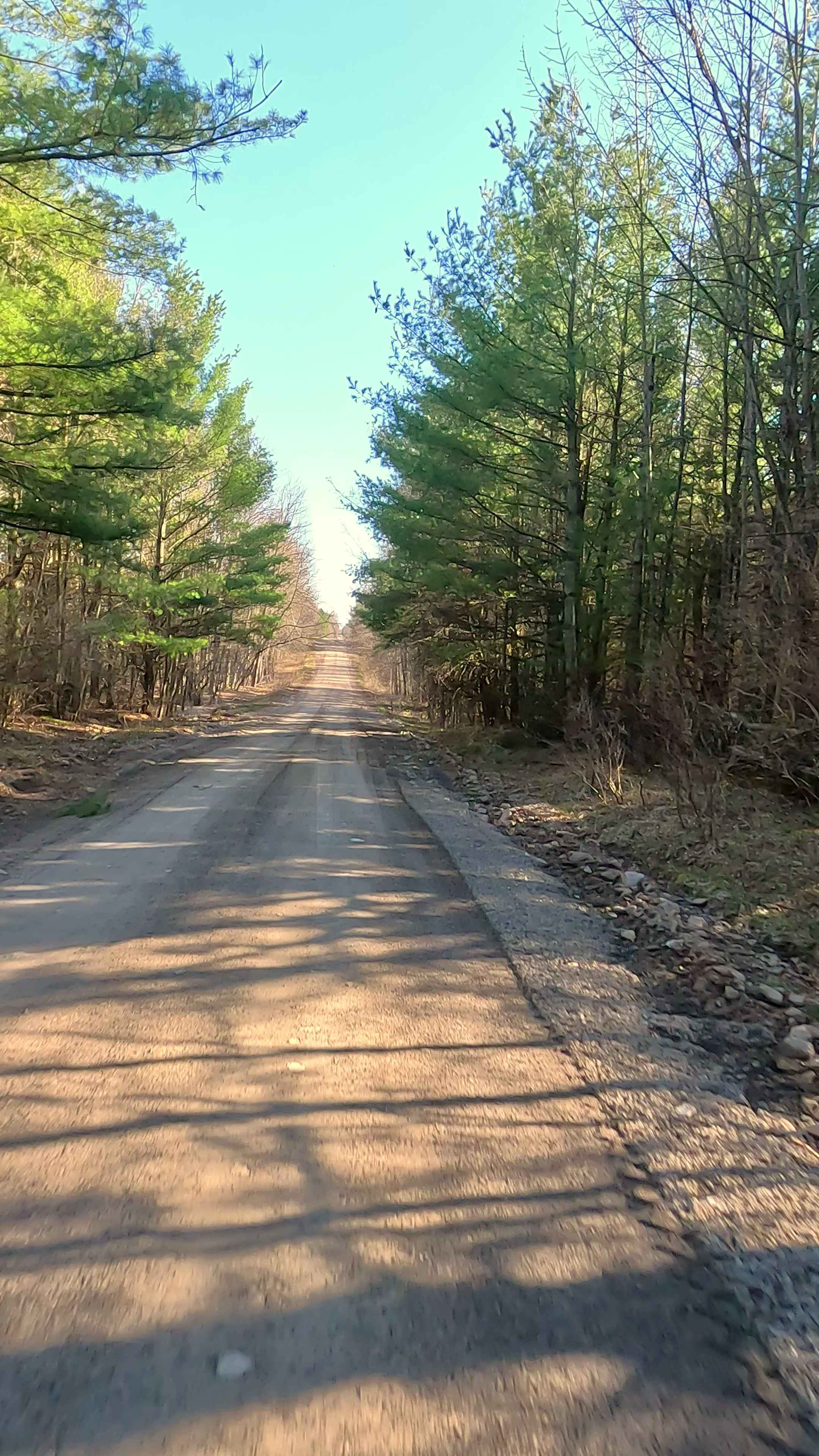
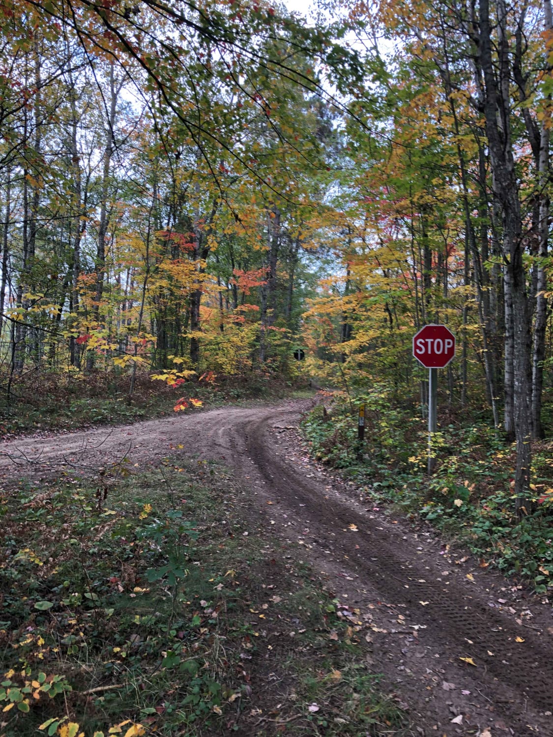
This is a seasonal road connecting South Cedar Creek Valley Road to Lake Ann Road. The trail is one vehicle wide and covers rolling terrain through the woods. The roadway is typical for the area-packed dirt and sand. There are some low points in the trail that can collect water and mud if it has been raining. The trail transverses both state land and private property-keep an eye open for no-trespassing signs. At the west end of the trail there is an access point for Cook Lake, which looks nice for shoreline fishing or launching a canoe/kayak.
Photos of Davis Lake


Difficulty
The roadway is a single vehicle wide without any technical sections. There is the possibility of encountering sandy areas and puddles/mud if the weather is wet.
Status Reports
Davis Lake can be accessed by the following ride types:
- High-Clearance 4x4
- SUV
- SxS (60")
- ATV (50")
- Dirt Bike
Davis Lake Map
Popular Trails
Lost Lake Road
Michaud Road and Goodar Road
The onX Offroad Difference
onX Offroad combines trail photos, descriptions, difficulty ratings, width restrictions, seasonality, and more in a user-friendly interface. Available on all devices, with offline access and full compatibility with CarPlay and Android Auto. Discover what you’re missing today!