Cut River/Brevoort River Trail (ORV Route A)
Total Miles
1.8
Technical Rating
Best Time
Spring, Summer, Fall
Trail Type
Full-Width Road
Accessible By
Trail Overview
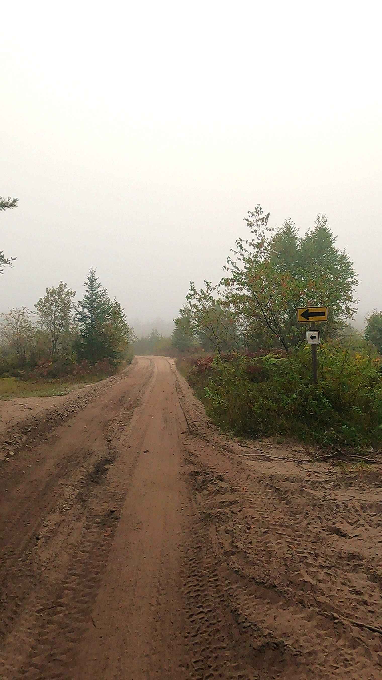
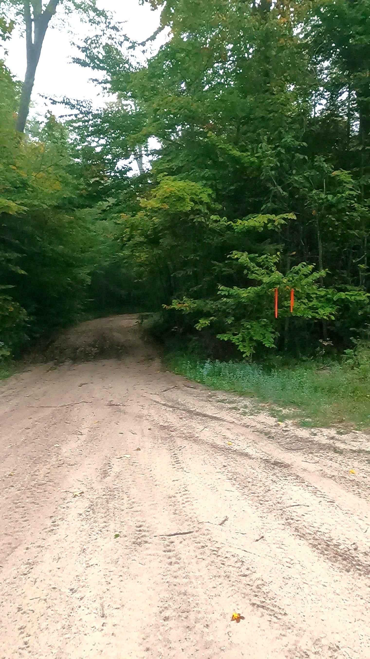
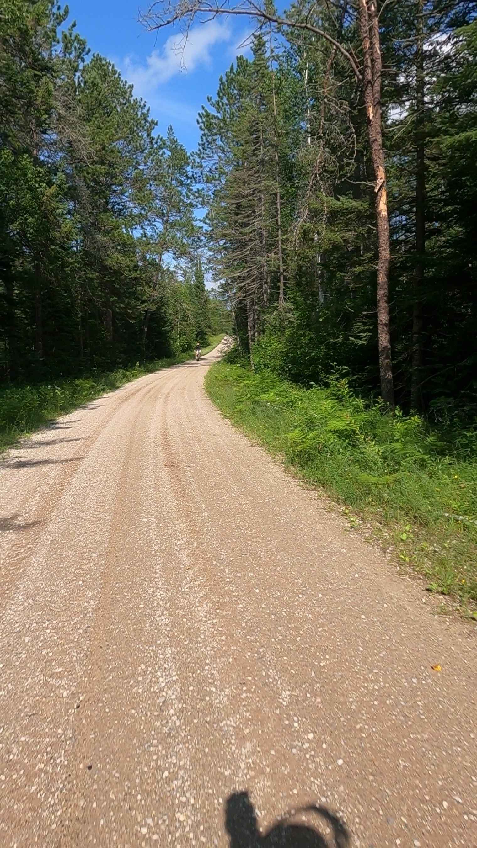
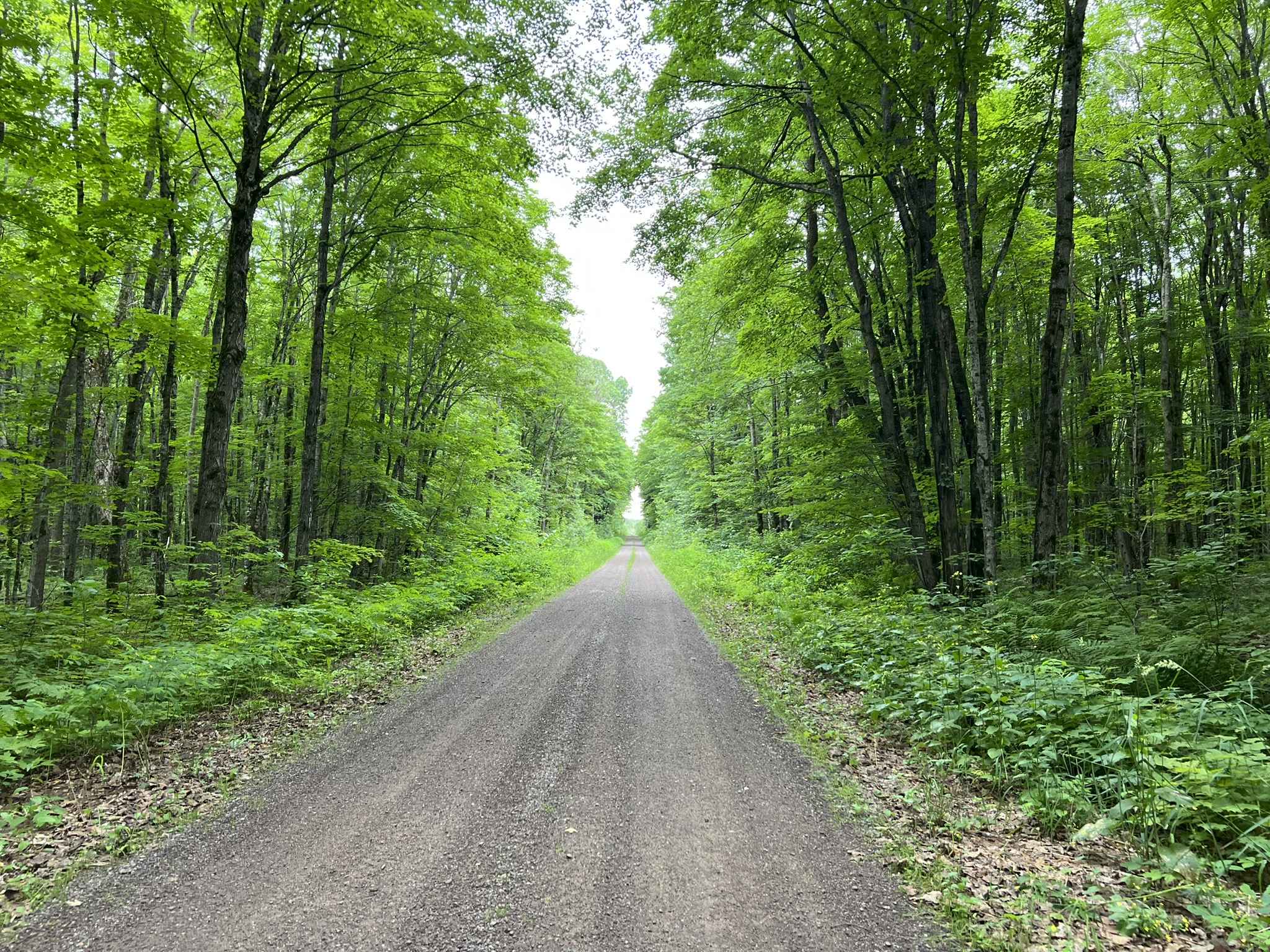
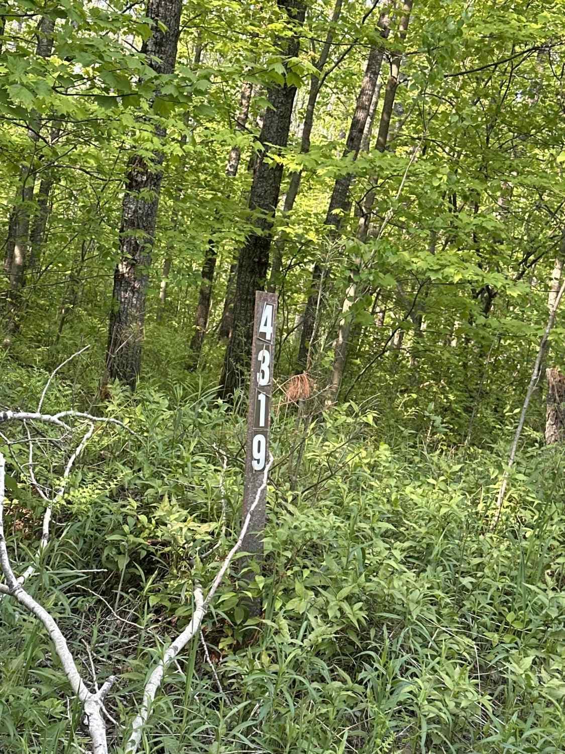
Cut River/Brevoort River Trail is a state-owned/ locally maintained, Level-2/ Level-3 Secondary Forest Road with a surface composition of dirt, sand, gravel, and native material. This route is currently open and in fair condition. It is a DNR route (ORV use is subject to local government regulations) known as ORV Route A and connects Cut River Road to Old Cut River Road, Miller Road, and Brevoort River Road to Prout Road. Description created on September 18, 2025.
Photos of Cut River/Brevoort River Trail (ORV Route A)
Difficulty
Sand, dirt, gravel road, unmaintained after rain or snow that may give rise to shallow water crossings and obstacles under 12 inches on the trail, including small branches. This road is typically one to two vehicles in width.
History
The Cut River is a short, scenic, four-mile river that flows into Lake Michigan between Epoufette and Brevort. The area is historically known for its dramatic limestone gorge, the historic 1947 bridge that spans it, and its role as a scenic, natural attraction along US Route 2. Bridge History: The Cut River Bridge, spanning 641 feet, is a cantilevered deck truss bridge that was designed by the State Highway Department and started in 1941. The bridge was built using 888 tons of structural steel and towers 140 feet above the gorge. The "Troll": Under the east end of the bridge, there is a door in the foundation with a brass plate that reads "T. Troll," a quirky piece of local lore. In 2014, the Michigan Legislature named it the Heath Michael Robinson Cut River Memorial Bridge in honor of a Navy SEAL killed in Afghanistan in 2011.
Status Reports
Cut River/Brevoort River Trail (ORV Route A) can be accessed by the following ride types:
- High-Clearance 4x4
- SUV
- SxS (60")
- ATV (50")
- Dirt Bike
Cut River/Brevoort River Trail (ORV Route A) Map
Popular Trails
Ensign Road - FSR 2235

The onX Offroad Difference
onX Offroad combines trail photos, descriptions, difficulty ratings, width restrictions, seasonality, and more in a user-friendly interface. Available on all devices, with offline access and full compatibility with CarPlay and Android Auto. Discover what you’re missing today!