County Road NNB/NND
Total Miles
3.7
Technical Rating
Best Time
Spring, Summer, Fall
Trail Type
Full-Width Road
Accessible By
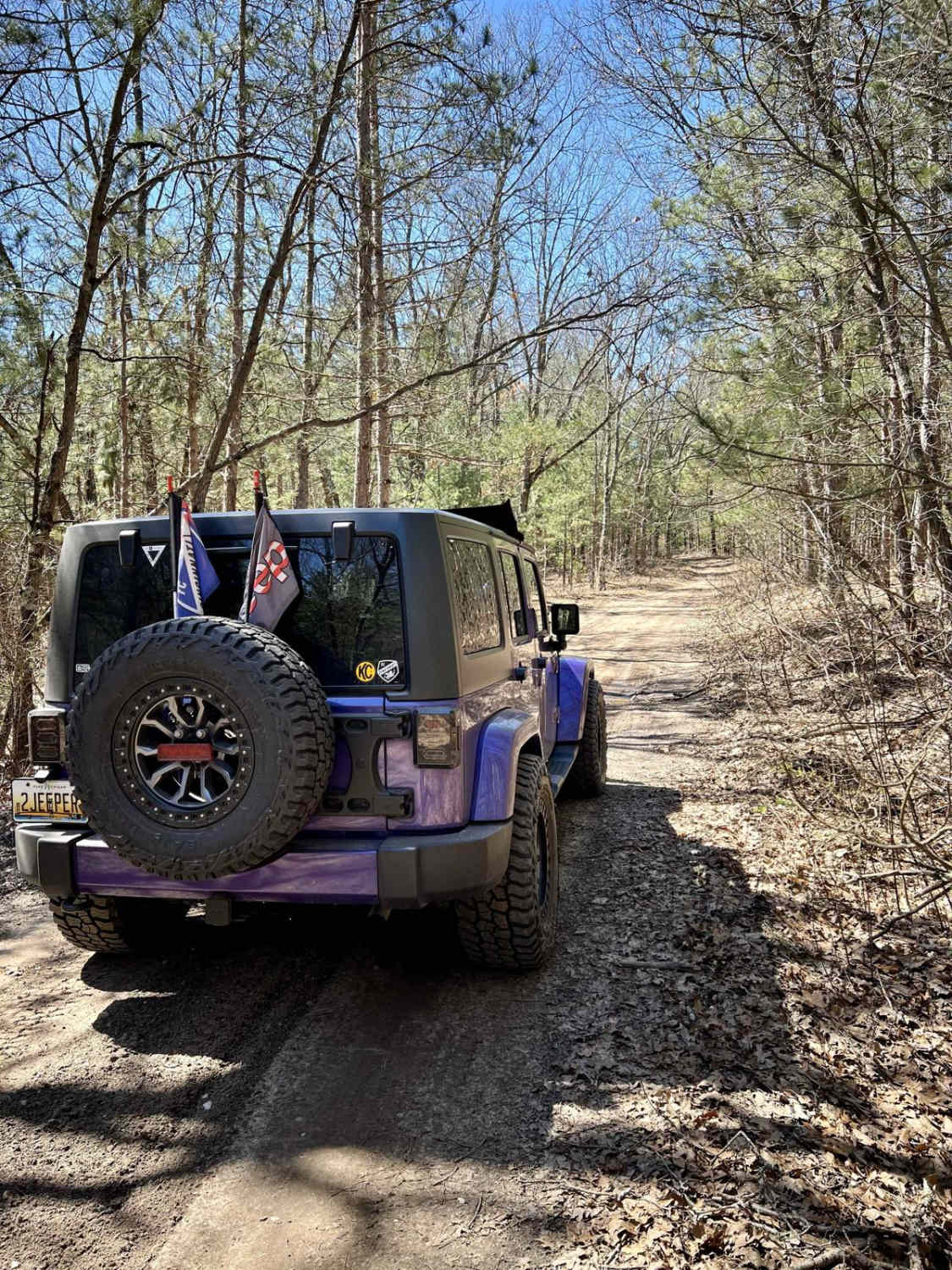
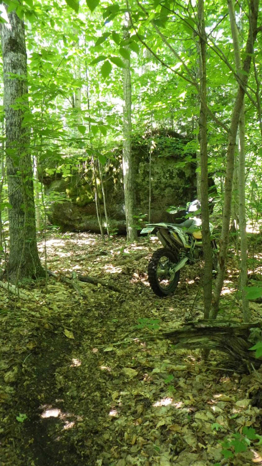
Trail Overview
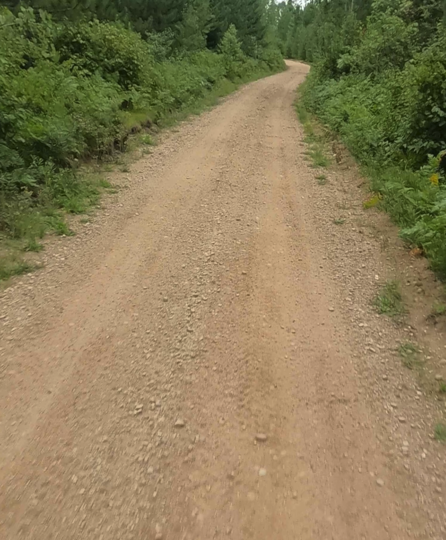
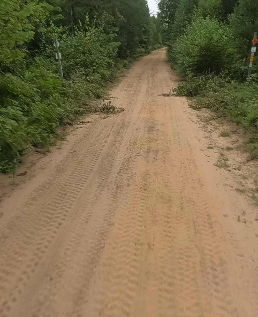
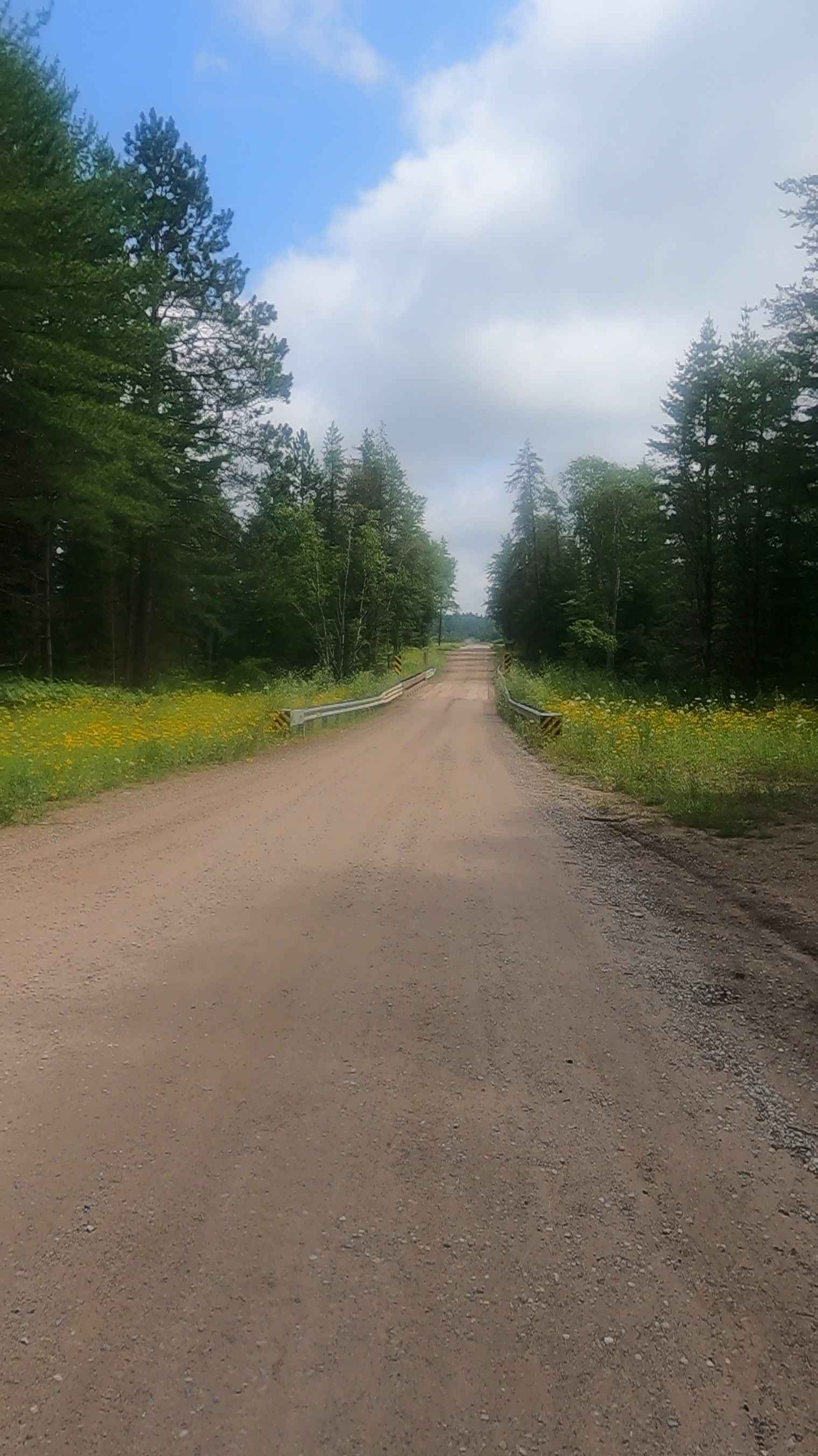
County Road NNB is a non-DNR road owned by the county. The surface consists of dirt and native material, and the overall condition is considered poor. Since it is not a DNR road, ORV use is subject to local government laws. The road remains open under the current closure criteria. County Road NND is also a non-DNR road owned by the county. Like County Road NNB, it has a surface of dirt and native material and is in poor condition. The two roads blend together, forming a continuous, unmaintained route. This section may present natural obstacles such as overhanging branches, fallen trees, and seasonal water holes. Travelers should use caution when navigating the area.
Photos of County Road NNB/NND
Difficulty
Unmaintained dirt road. You may encounter shallow water crossings after recent rainfall and/ or obstacles such as branches under 12 inches on the trail. The path is typically one to two vehicles wide.
History
Sawyer International Airport began as K.I. Sawyer Air Force Base, named after Marquette civil engineer Kenneth Ingalls Sawyer, opened in 1944 and was acquired by the Air Force in 1955 for the Air Defense Command and Strategic Air Command. After the base was slated for closure in 1993, it officially closed in September 1995, with Marquette County becoming the redevelopment authority and taking over operations in 1997 to create the public Sawyer International Airport.
Status Reports
County Road NNB/NND can be accessed by the following ride types:
- High-Clearance 4x4
- SUV
- SxS (60")
- ATV (50")
- Dirt Bike
County Road NNB/NND Map
Popular Trails
Ten Mile - Little Indian Road (FFR 2258)
Pucker Ridge
Brevort-Trout Lake Motorcycle Trail West
The onX Offroad Difference
onX Offroad combines trail photos, descriptions, difficulty ratings, width restrictions, seasonality, and more in a user-friendly interface. Available on all devices, with offline access and full compatibility with CarPlay and Android Auto. Discover what you’re missing today!