Cherry Plains Spur B (FSR 2148B)
Total Miles
2.1
Technical Rating
Best Time
Spring, Summer, Fall
Trail Type
Full-Width Road
Accessible By
Trail Overview
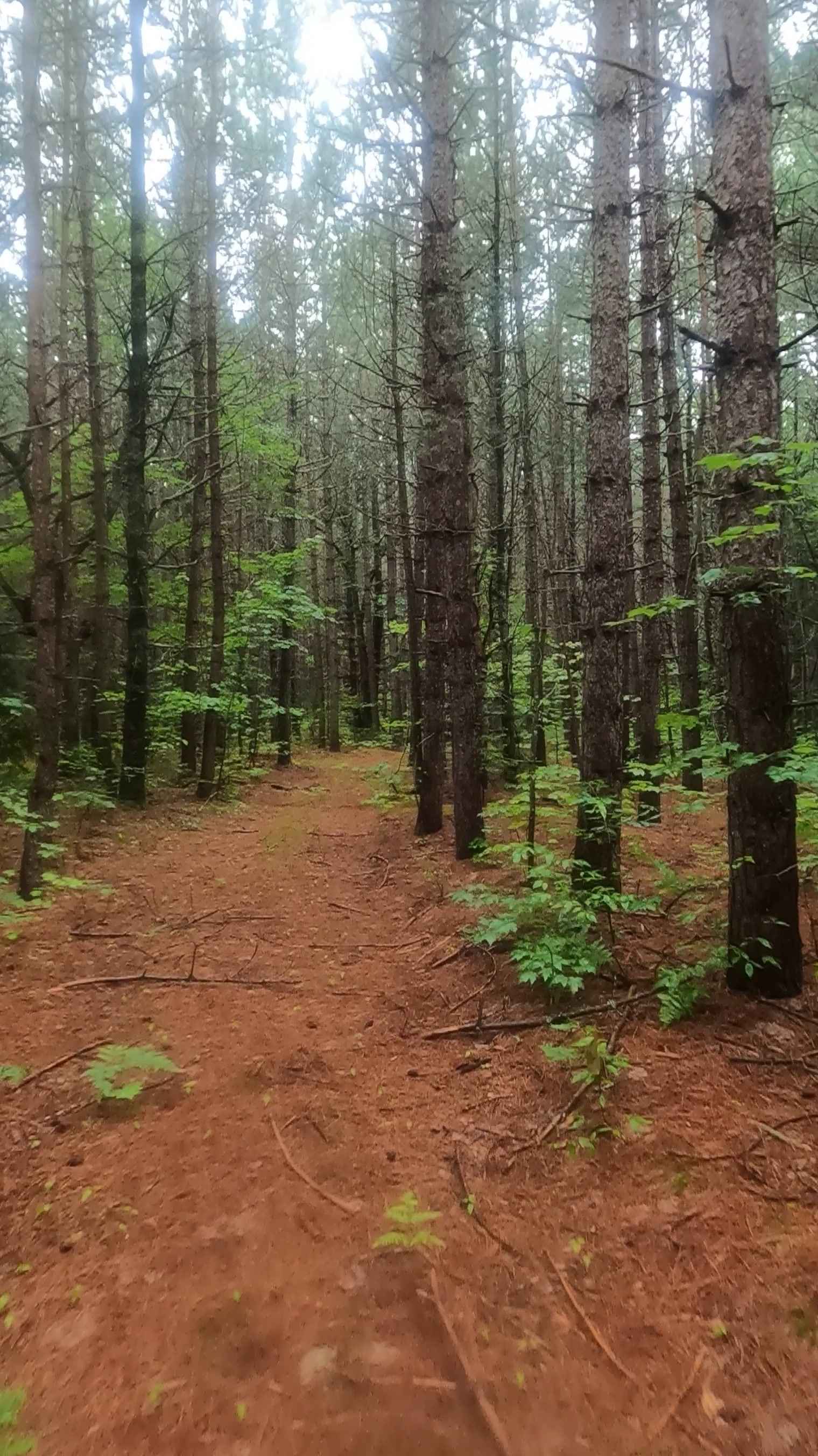
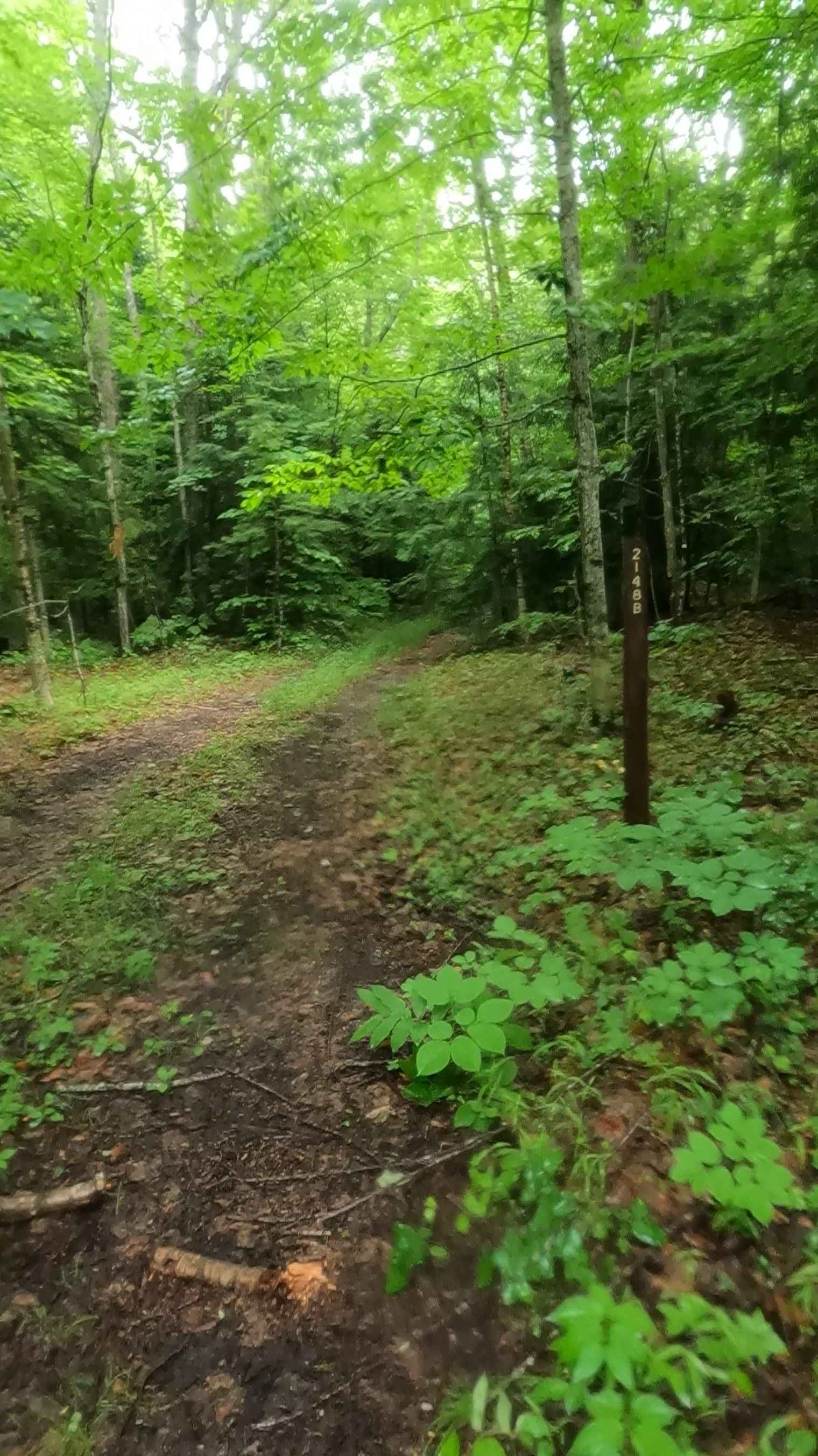
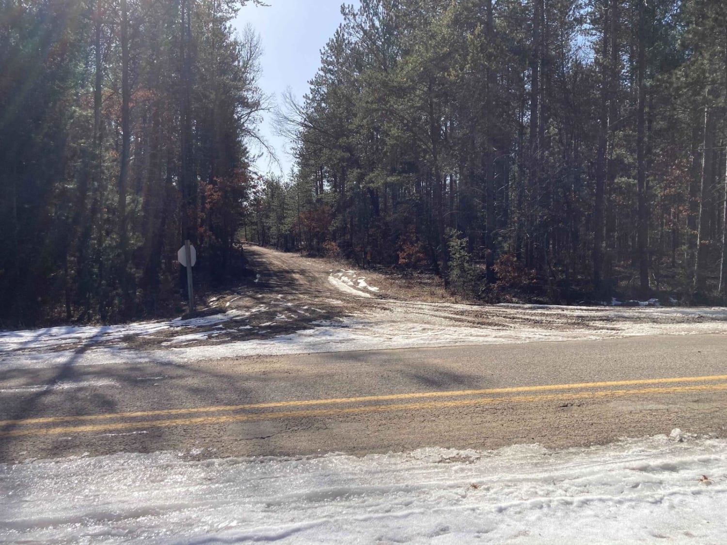
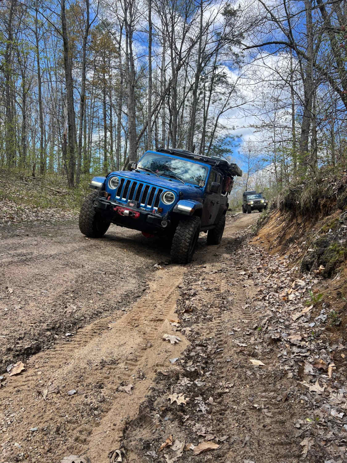
Cherry Plains Spur B is classified as a Non-DNR Road. It is not managed by the DNR, so off-road vehicle use is subject to local government laws. The surface consists of dirt and native materials such as pine needles, sticks, and branches. The condition is rated as poor, with a two-track layout and numerous fallen trees. Ownership is unspecified, and the road is currently open. This description was created on July 24, 2025.
Photos of Cherry Plains Spur B (FSR 2148B)
Difficulty
Dirt, sand, grass, and native material (pine needles, sticks, branches, fallen trees), typically unmaintained after rain or snow. You may encounter ruts, obstacles under 12 inches, including a restrictive fallen tree on the trail. The road is one vehicle wide.
History
Wetmore, Michigan, is a small, unincorporated community in Alger County, historically rooted in the lumber industry. Founded in the late 1800s as a logging town named after lumberman John Wetmore, it saw rapid growth during the logging boom. However, as the timber supply dwindled, so did the population. Today, Wetmore is a quiet community primarily focused on tourism, with its proximity to Pictured Rocks National Lakeshore making it a popular base for exploring the Upper Peninsula's natural attractions. The broader area, including Wetmore, has a rich history of Native American presence and Jesuit missionary activity. Father Marquette, for example, was buried in the area after his death in the 1670s. The logging history of the region, including the work of surveyors like William Burt, is also a significant part of the area's past.
Status Reports
Cherry Plains Spur B (FSR 2148B) can be accessed by the following ride types:
- High-Clearance 4x4
- SUV
- SxS (60")
- ATV (50")
- Dirt Bike
Cherry Plains Spur B (FSR 2148B) Map
Popular Trails
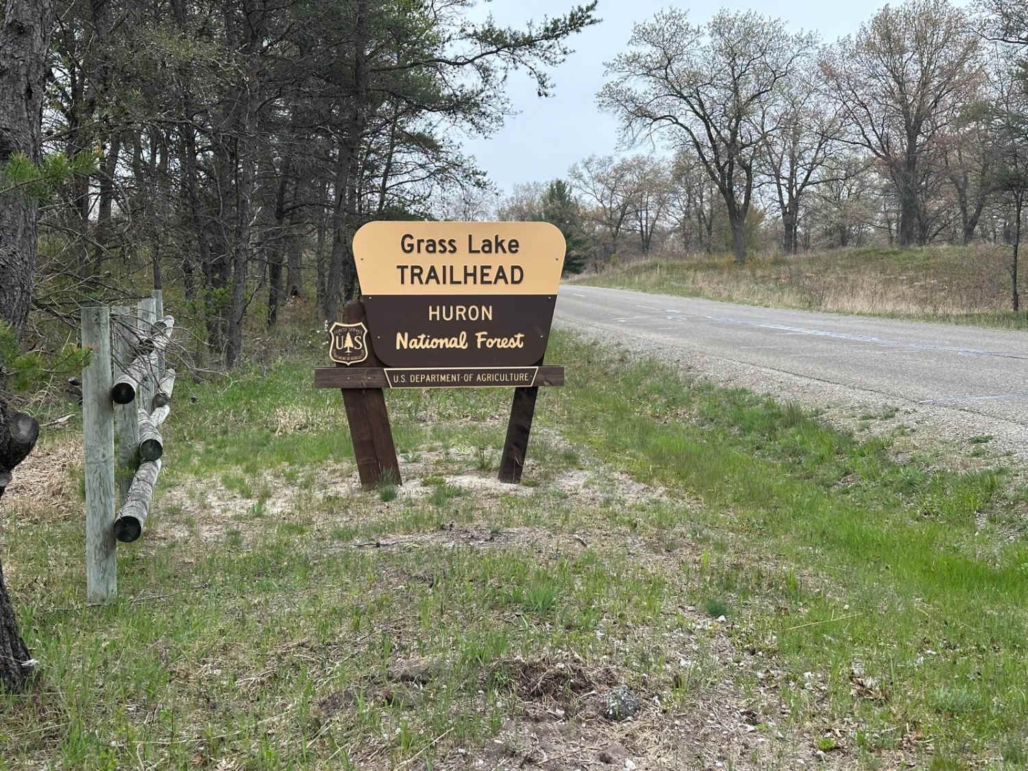
H9 Grass Lake to FS 4194
Denton Creek Trail
S 23-1/2 Trail
The onX Offroad Difference
onX Offroad combines trail photos, descriptions, difficulty ratings, width restrictions, seasonality, and more in a user-friendly interface. Available on all devices, with offline access and full compatibility with CarPlay and Android Auto. Discover what you’re missing today!