Charlie Lakes Trail
Total Miles
2.1
Technical Rating
Best Time
Spring, Summer, Fall
Trail Type
Full-Width Road
Accessible By
Trail Overview
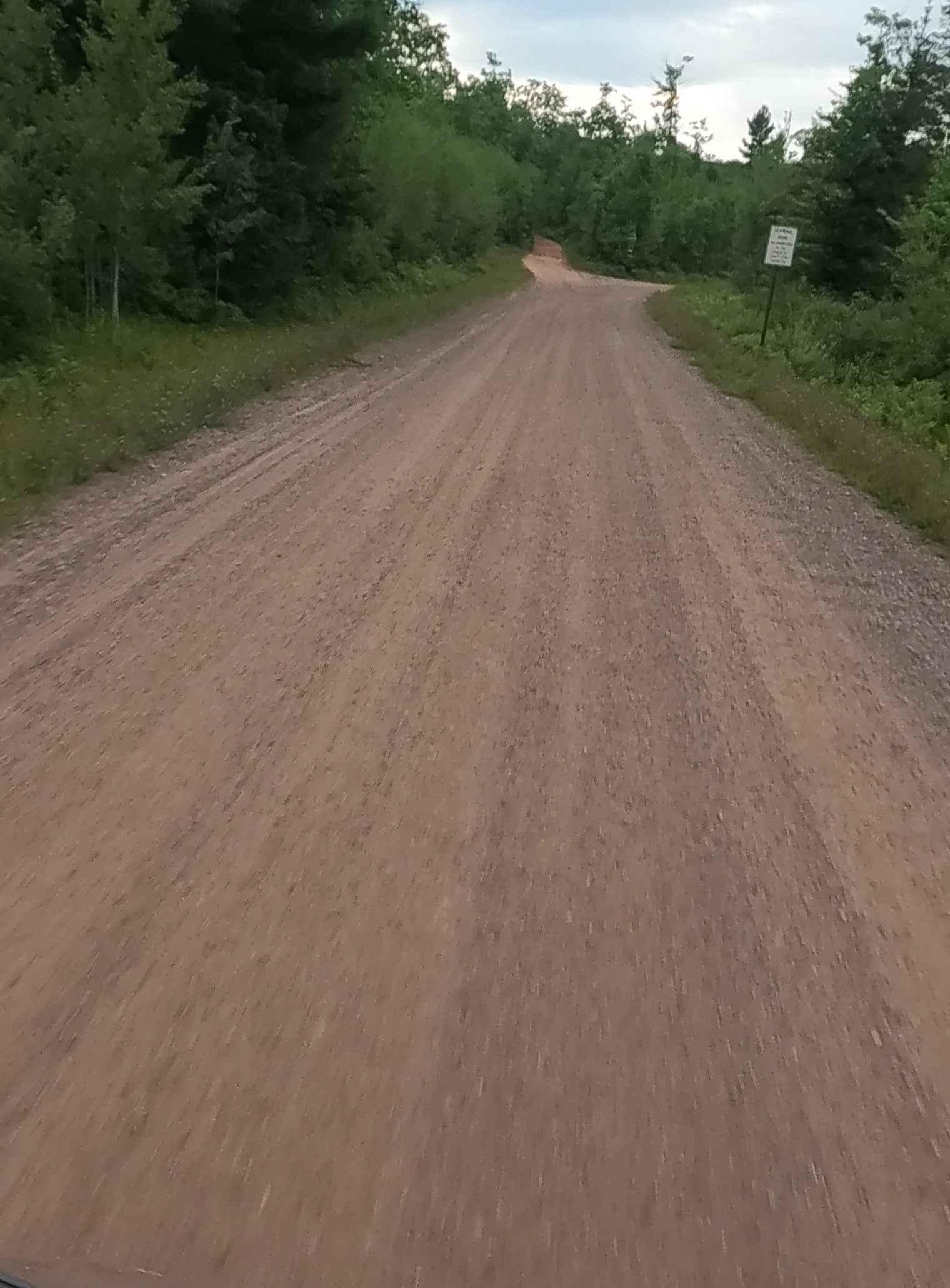
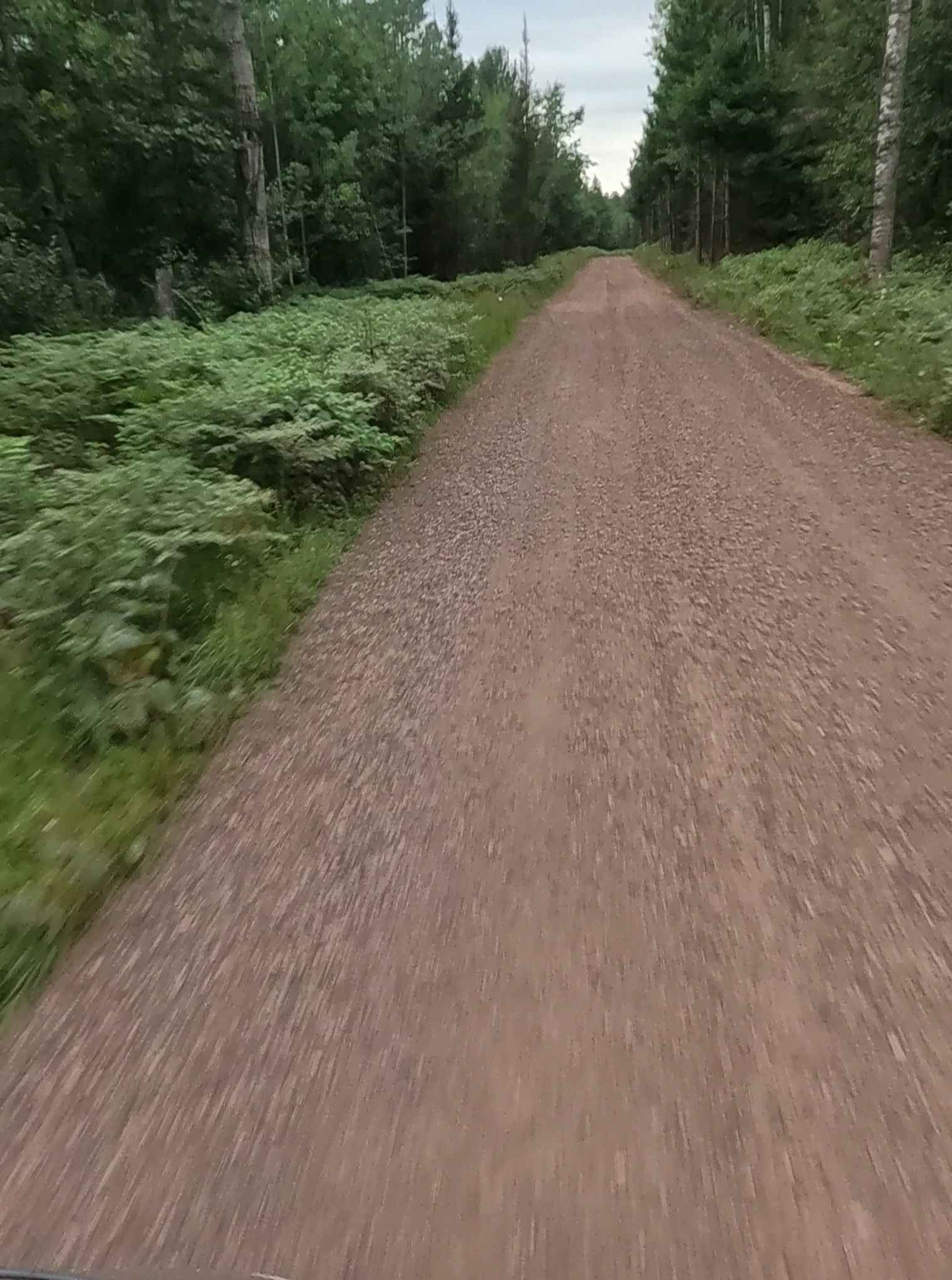
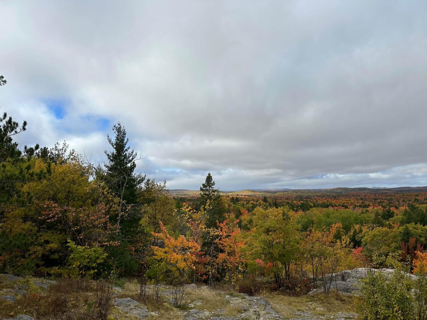
Charlie Lakes Road is a non-DNR road owned by the county. The surface is composed of dirt, gravel, and sand, and the overall condition is considered fair. Since it is not a DNR road, ORV use is subject to local government laws. The road remains open under current closure criteria. This idyllic, well-maintained seasonal road provides multiple access points to the Bass Lake Motorcycle Trail (BLM), a single-track ORV trail system. It also offers access to several nearby lakes, including Pike Lake, Spring Lake, Bass Lake, Crooked Lake, Charlie Lakes, Birch Lake, Horseshoe Lake, and Kate's Lake.
Photos of Charlie Lakes Trail
Difficulty
Dirt, gravel, sand, native material road with gentle grades. Safe for most 4WD and high-clearance 2WD vehicles. Typically two vehicles in width.
History
The history of Charlie Lakes Trail is rooted in the land's connection to the Ojibwe people, specifically honoring Shingabawassin ("Spirit Stone"), a prominent Ojibwe chief in the late 1700s and early 1800s. The trail was developed by Bay Mills Indian Community to celebrate his leadership and provide educational experiences through interpretive signage and future facilities.
Status Reports
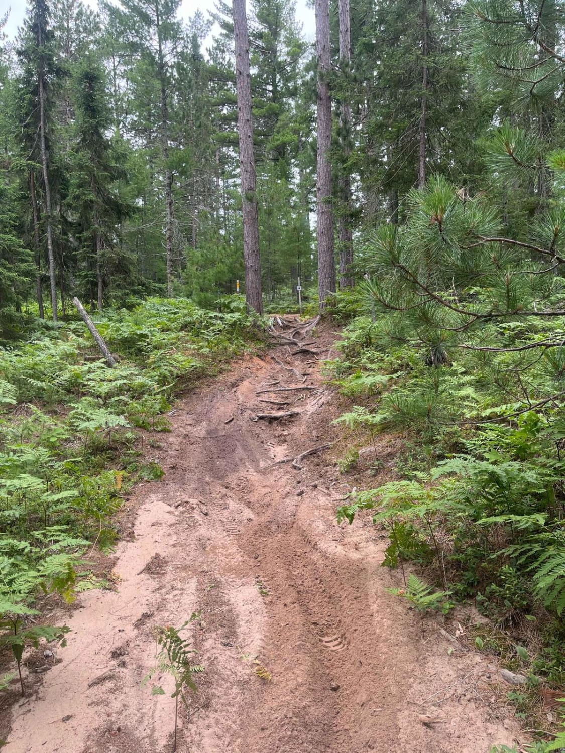
Charlie Lakes Trail can be accessed by the following ride types:
- High-Clearance 4x4
- SUV
- SxS (60")
- ATV (50")
- Dirt Bike
Charlie Lakes Trail Map
Popular Trails
Harlow Lake Road Trail

Hungerford Lake Boat Launch

Pine Ridge Trail
The onX Offroad Difference
onX Offroad combines trail photos, descriptions, difficulty ratings, width restrictions, seasonality, and more in a user-friendly interface. Available on all devices, with offline access and full compatibility with CarPlay and Android Auto. Discover what you’re missing today!