Black Creek Trail/ FR N3015
Total Miles
8.0
Technical Rating
Best Time
Summer, Fall, Spring
Trail Type
Full-Width Road
Accessible By
Trail Overview
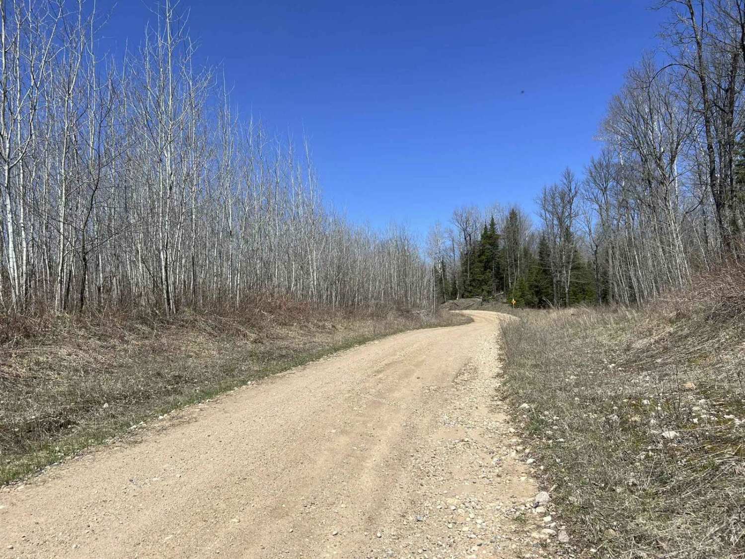
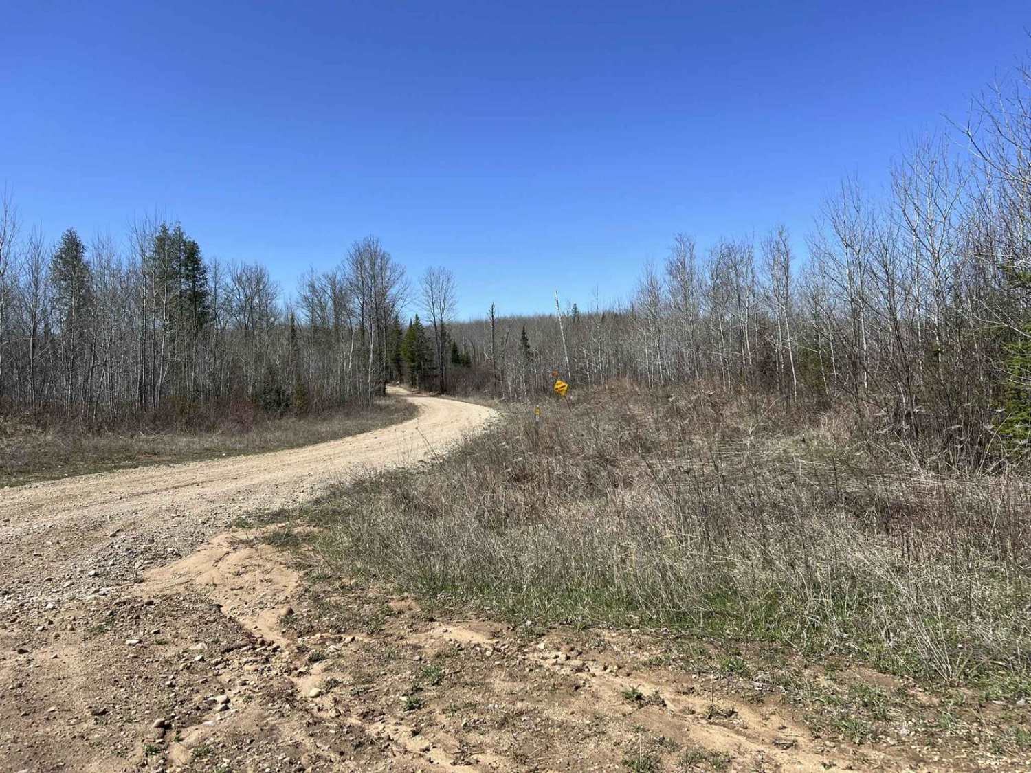
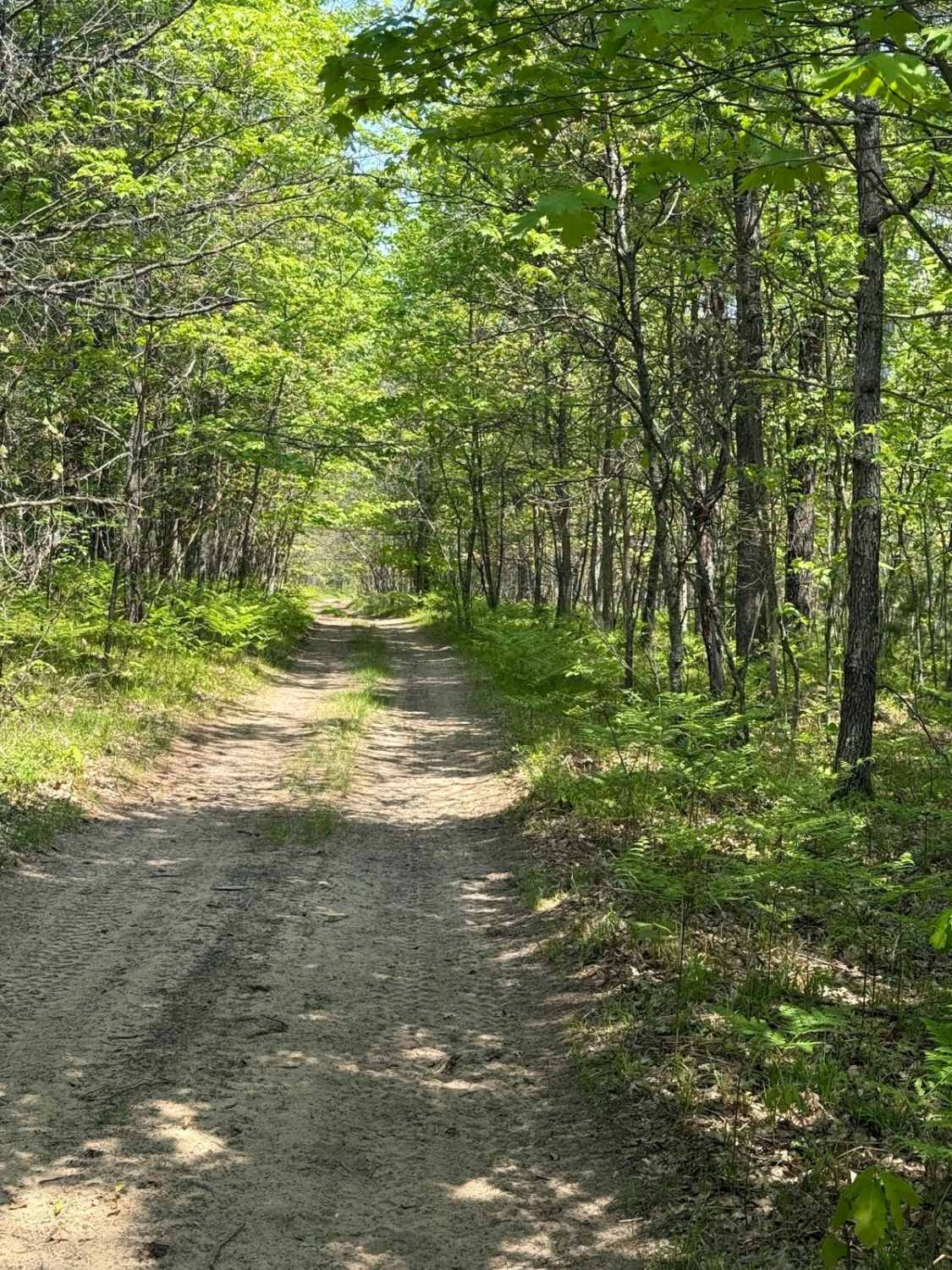
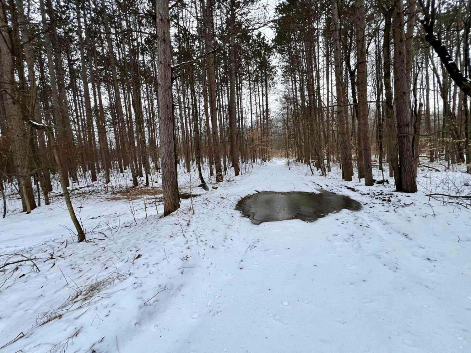
This is the Black Creek Trail/FR N3015 located in Dickinson County, MI. This trail runs from its trailhead located off County Rd 573 to its endpoint just north of Norway Truck Trail, Cassidy Creek Rd. This long and winding forest road follows the Sturgeon River for most of its length. The trail surface is a mix of sand, gravel, and dirt. A few low spots will collect a small amount of water after rain, which will need to be traversed. These are typically under 6" in depth, or can be avoided with at least two tires. The scenery along this trail is old-growth primarily forest, with a few brief lowland areas.
Photos of Black Creek Trail/ FR N3015
Difficulty
Any vehicle type suitable for light off-roading can easily complete this trail. While there are some very shallow water crossings, they can either be avoided, or if they cannot, most have a very solid base, allowing for excellent traction. This trail has several areas that are wide enough for two vehicles, however most of the trail is wide enough for one vehicle, with room to pass slowly. Sight lines throughout this trail are okay to good, with some corners being blind due to the large trees and undergrowth in the forests. The trail surface is a mix of sand, dirt, and gravel. The surface is also very smooth.
Status Reports
Black Creek Trail/ FR N3015 can be accessed by the following ride types:
- High-Clearance 4x4
- SUV
- SxS (60")
- ATV (50")
Black Creek Trail/ FR N3015 Map
Popular Trails
MCCCT Connector Trail

Mack Lake Trail - County HIghway F17 / 489

Sloppy Joe Bypass
The onX Offroad Difference
onX Offroad combines trail photos, descriptions, difficulty ratings, width restrictions, seasonality, and more in a user-friendly interface. Available on all devices, with offline access and full compatibility with CarPlay and Android Auto. Discover what you’re missing today!