MCCCT Connector Trail
Total Miles
0.4
Technical Rating
Best Time
Spring, Summer, Fall, Winter
Trail Type
Full-Width Road
Accessible By
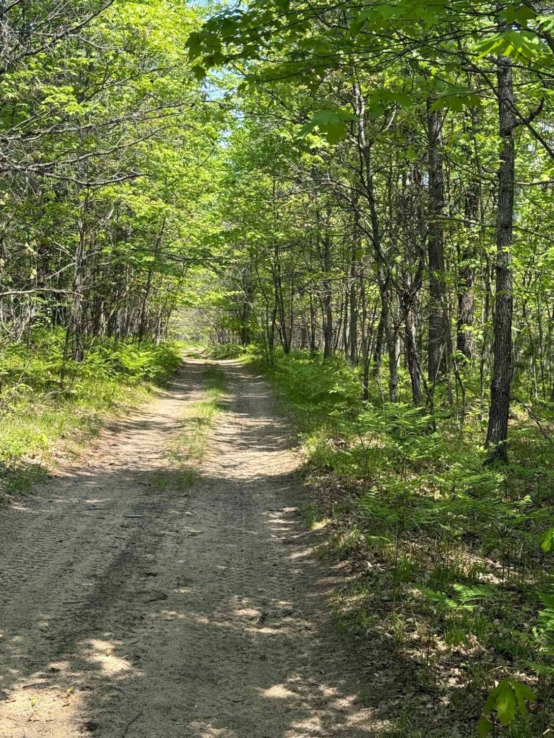
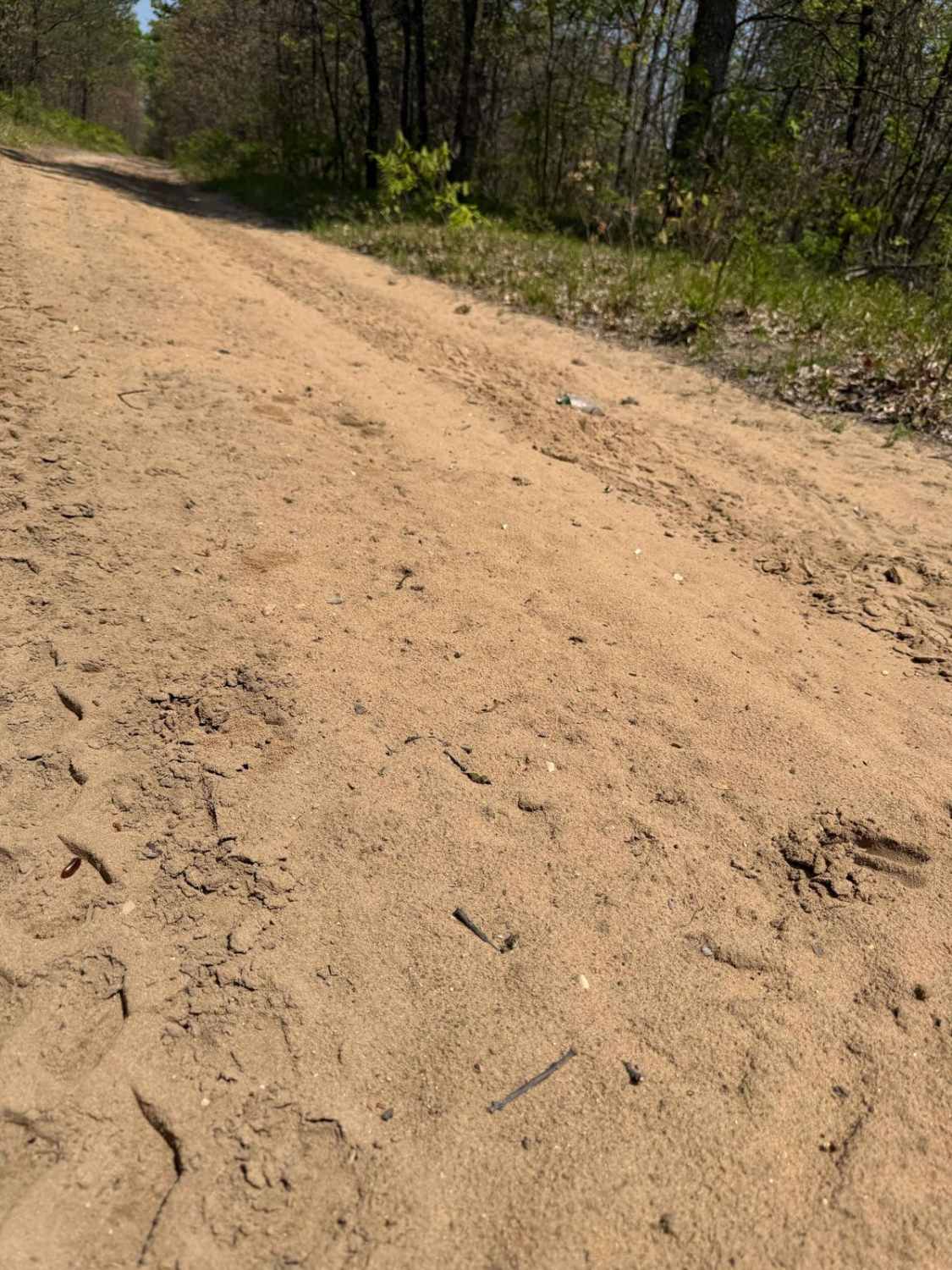
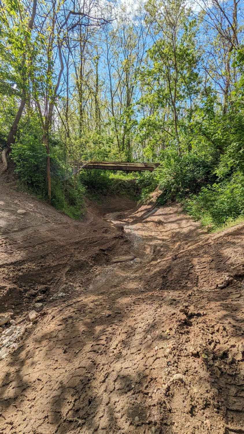
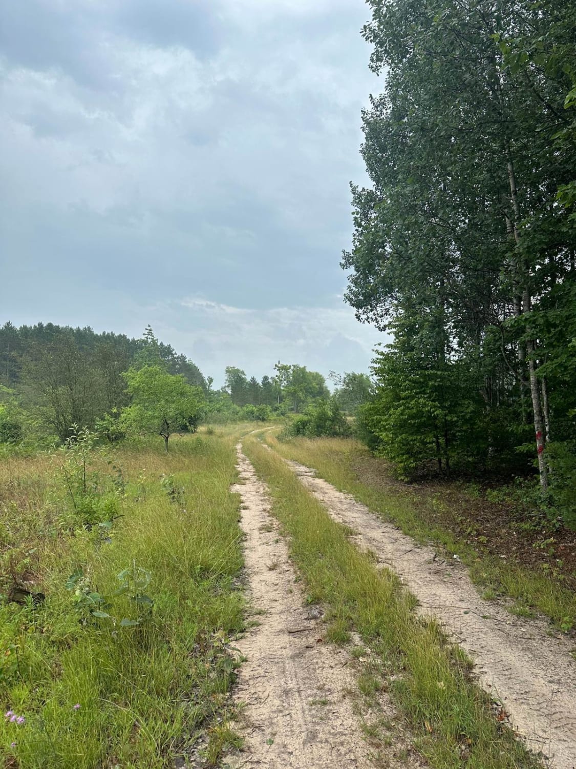
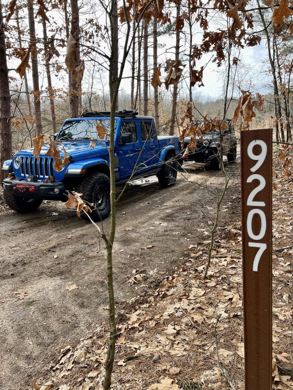
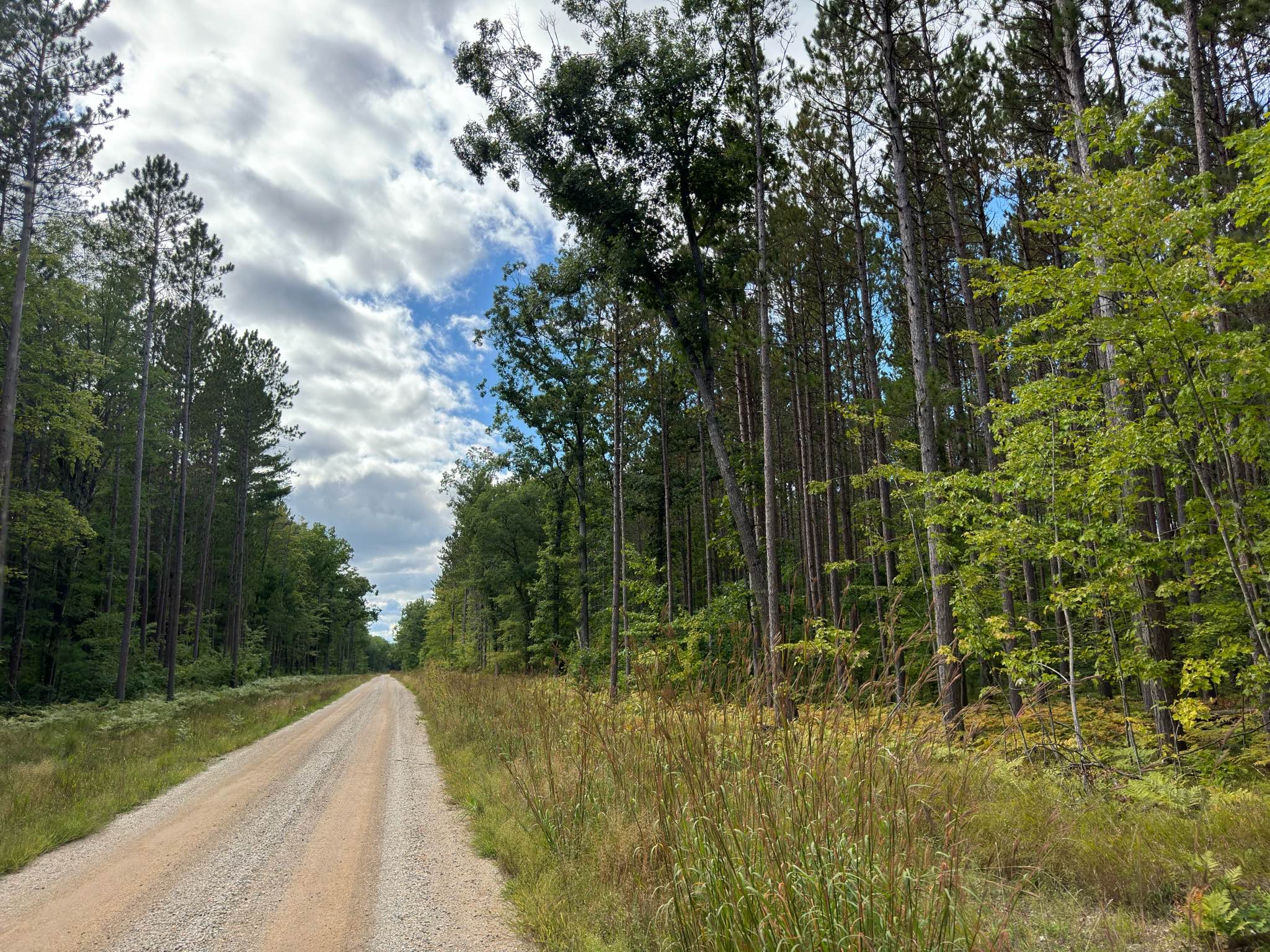
Trail Overview
License Plate Required! MCCCT Connector Trail is a short and fun classic Michigan two-track. Located just west of US HWY-131, this route is easily accessible. Connecting Shaker Trail and Sandy Berm Trail to the Grand Traverse County to Supply Rd MCCCT Trail, this short trail has a lot to offer. The surface mostly consists of a combination of sand, dirt, and grass, and navigates through a thick section of the Traverse City Forest Management Unit. There's a lot of lush plant life along the route to be seen. Like most of Michigan trails, conditions are dependent on the weather. Recent rainfall can cause mud/water holes that can get rutted out quickly. Most of this trail is only wide enough for 1 vehicle with limited places to pass. With the amount of overgrowth along this trail, please use caution and come prepared! This trail is vital to giving continual access within this network of trails. Although it's a short track, it's full of adventure with more trails to explore after. Regardless of the conditions or length of the route, this is a wonderful trail for all to enjoy!
Photos of MCCCT Connector Trail
Difficulty
This was only given a Technical Rating & Difficulty of 2 due to the trail typically only being wide enough for 1 to 2 vehicles. Otherwise, this trail could be rated as a 1.
Status Reports
MCCCT Connector Trail can be accessed by the following ride types:
- High-Clearance 4x4
- SUV
- SxS (60")
- ATV (50")
- Dirt Bike
MCCCT Connector Trail Map
Popular Trails
The onX Offroad Difference
onX Offroad combines trail photos, descriptions, difficulty ratings, width restrictions, seasonality, and more in a user-friendly interface. Available on all devices, with offline access and full compatibility with CarPlay and Android Auto. Discover what you’re missing today!