Beaver Dam Road
Total Miles
1.2
Technical Rating
Best Time
Summer, Fall
Trail Type
Full-Width Road
Accessible By
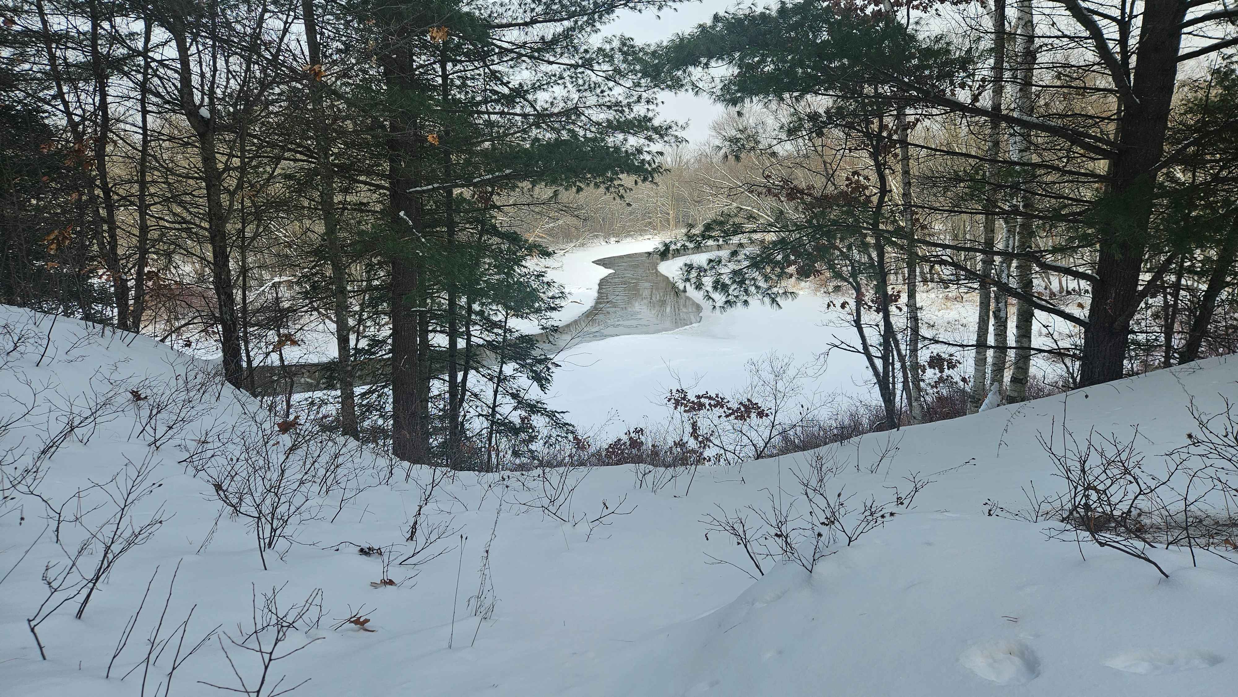
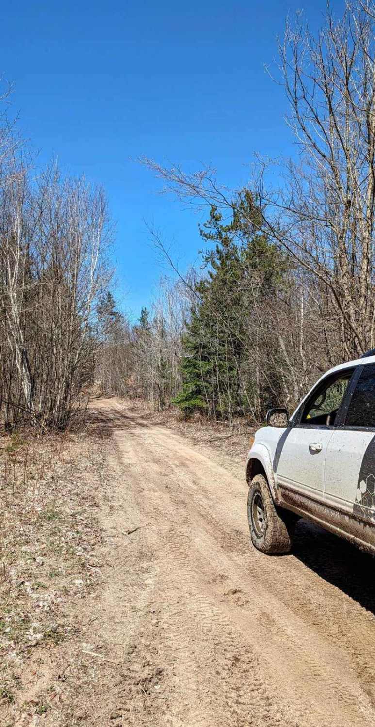
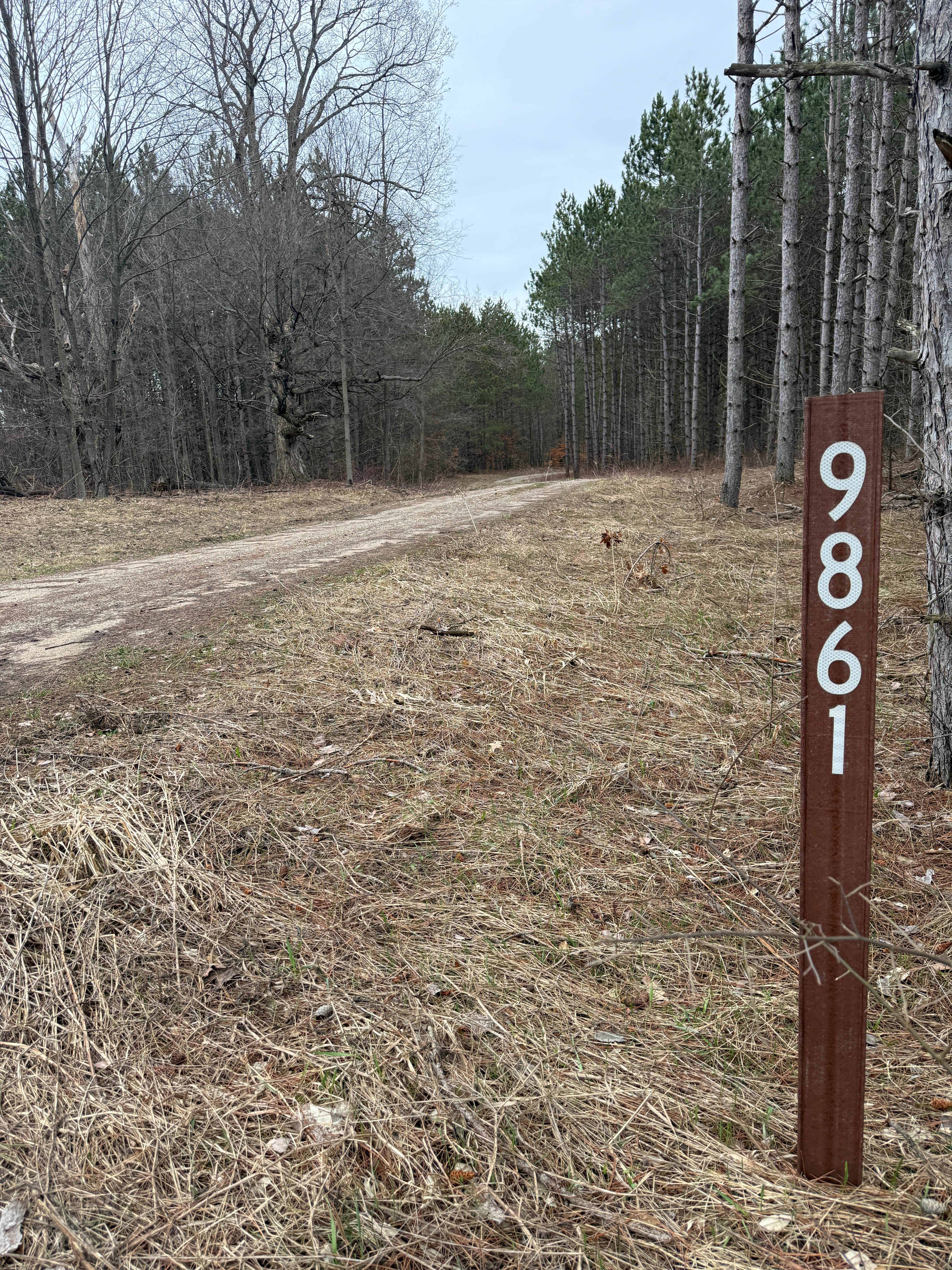
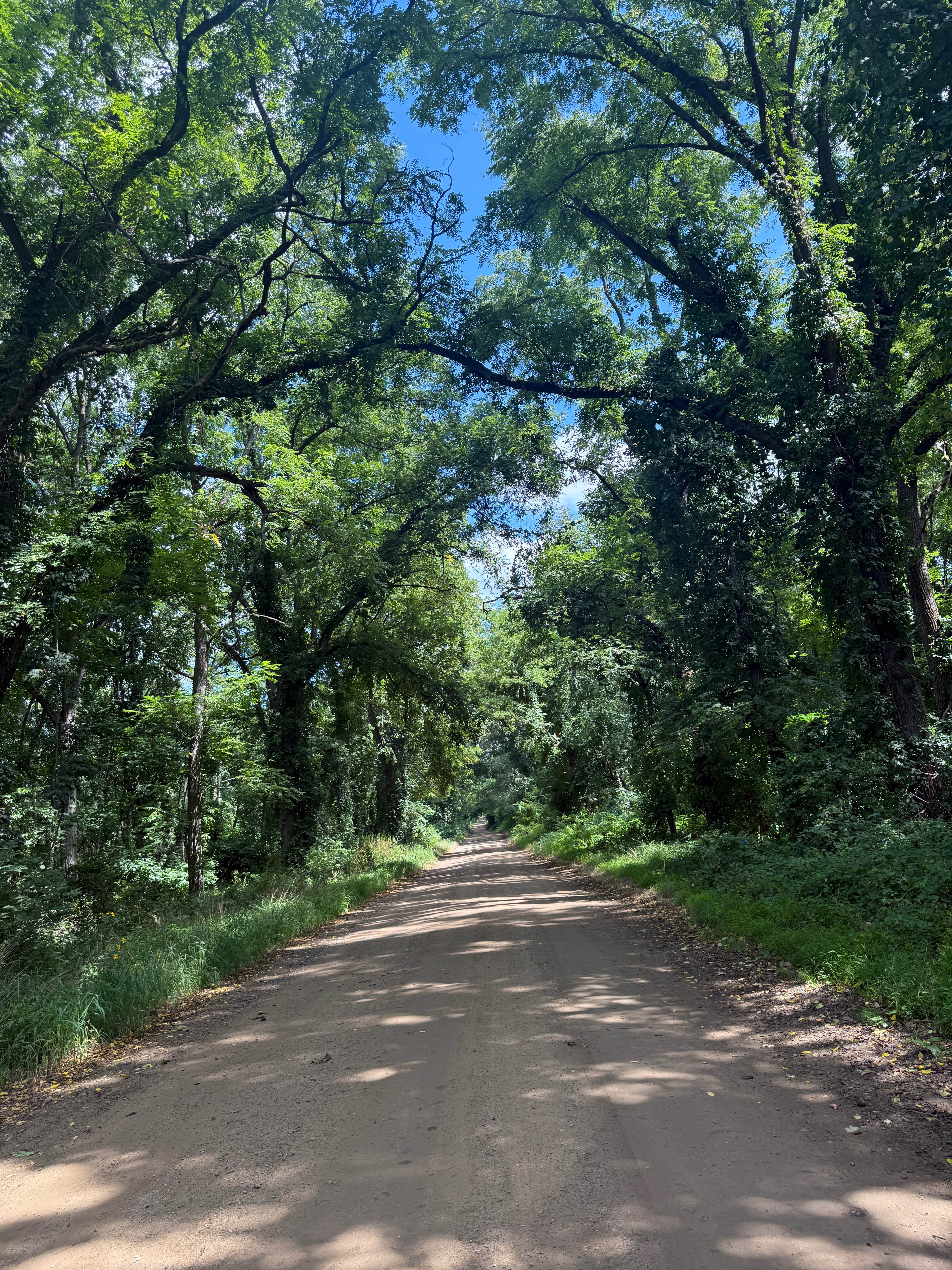
Trail Overview
This trail is in the middle of the trail system, so if you have made it here, you will be fully capable of making it down this trail. The end we started on was at a section where multiple trails come together. The southern end starts off fairly narrow, with berms on the sides, making it hard to get up to let other traffic pass in either direction. This seems to have been cut by loggers to use as a road. Halfway through the trail, you'll run into an intersection, continue north on that, past the pile of toilets that has been smashed (you'll see the seats thrown in the trees), and this trail opens up into a field of ferns, making a higher speed ride.
Photos of Beaver Dam Road


Difficulty
The trail is easy to drive, with firm, hard-packed ground. It is primarily a single-vehicle width.
Status Reports
Beaver Dam Road can be accessed by the following ride types:
- High-Clearance 4x4
- SUV
- SxS (60")
- ATV (50")
- Dirt Bike
Beaver Dam Road Map
Popular Trails
Thornapple Trail
Glenn East Trail
The onX Offroad Difference
onX Offroad combines trail photos, descriptions, difficulty ratings, width restrictions, seasonality, and more in a user-friendly interface. Available on all devices, with offline access and full compatibility with CarPlay and Android Auto. Discover what you’re missing today!