Baraga Plains Road
Total Miles
10.3
Technical Rating
Best Time
Spring, Summer, Fall
Trail Type
Full-Width Road
Accessible By
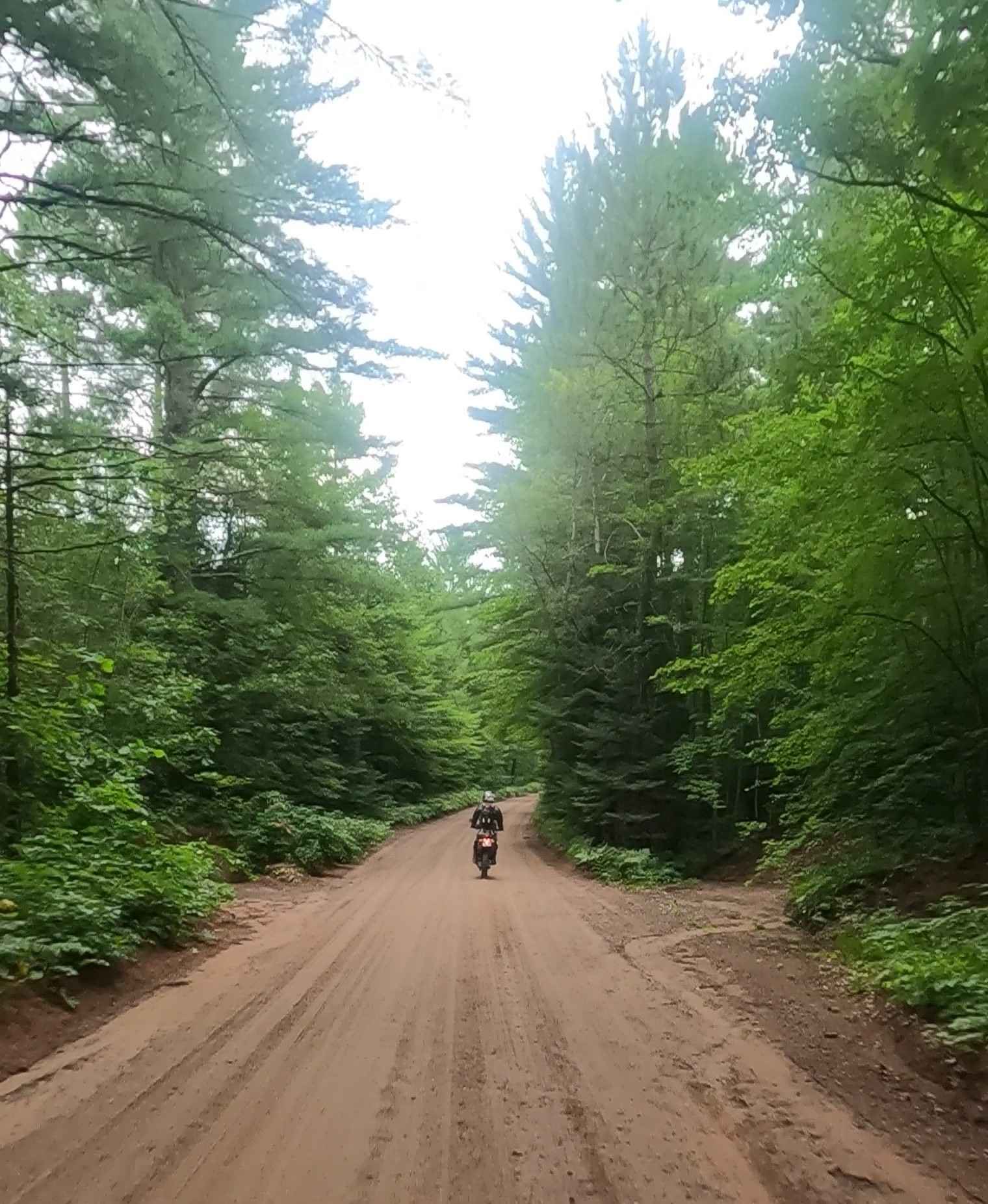
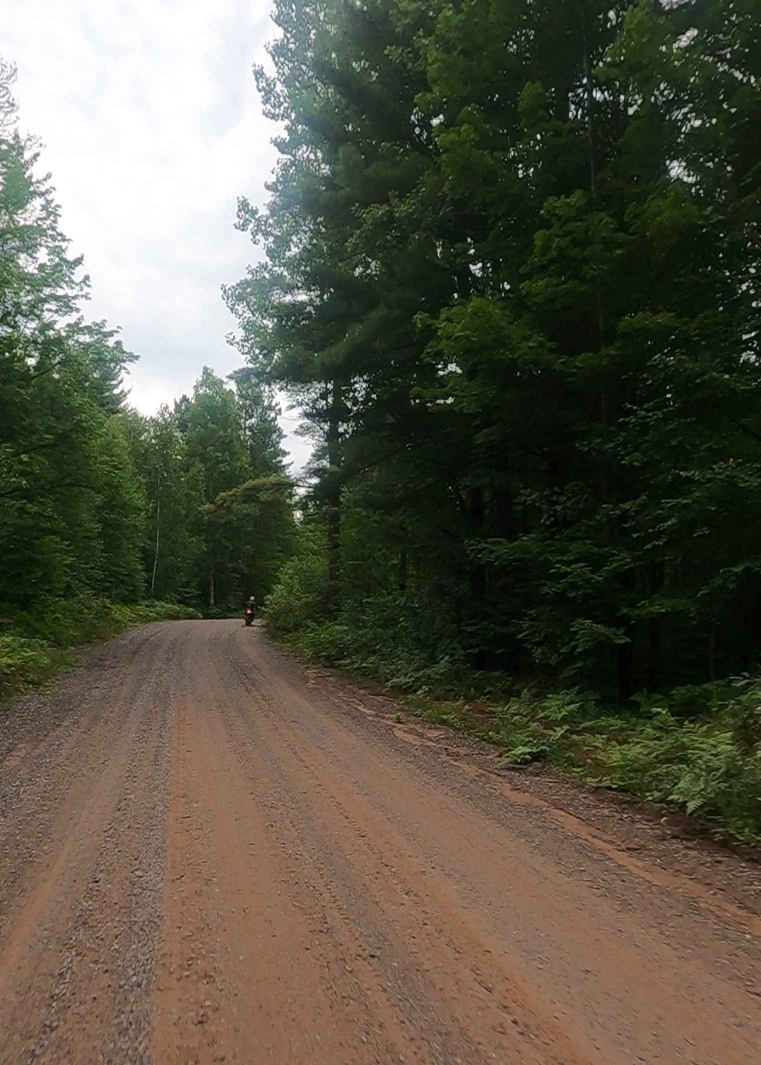
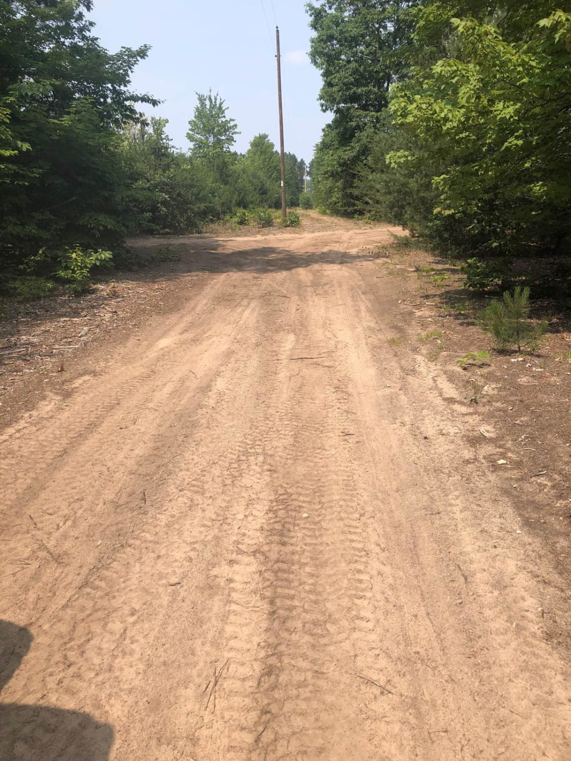
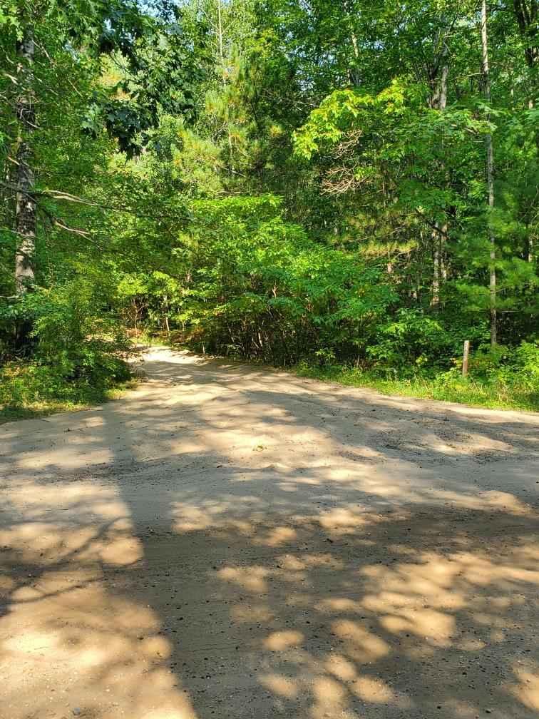
Trail Overview
Plains Road is a non-DNR road owned by the county. The surface consists of gravel, dirt, sand, and native material, and the overall condition is considered fair. Although it is classified as a non-DNR road, a portion of it is managed as a DNR road. The road remains open under current closure criteria. ORV Route MA is an open segment that measures approximately 10.02 miles in length. The route has a width greater than 12 feet and features a surface composed of dirt and natural material. It is a picturesque seasonal road that provides access to Big Lake, the Baraga Plains Waterfowl Management Area, Six Mile Creek, Forest Road 2240 North Country Trail (NCT) Trailhead, Pine Bluffs Trailhead, the Baraga Plains ORV Trail (BPT) system, and the Ottawa National Forest. The trail is maintained for snow use by the Baraga County Convention and Visitor's Bureau.
Photos of Baraga Plains Road
Difficulty
Dirt, gravel, sand road with gentle grades. Safe for most 4WD and high-clearance 2WD vehicles. The road is two vehicles wide.
History
The history of Baraga Plains, Michigan, involves its formation from glacial outwash, later development of sand dunes by northwest winds, and its presence in the Upper Peninsula's rich landscape shaped by indigenous peoples, French and British colonization, and the subsequent logging industry, which often left behind areas of sandy jack pine plains after the removal of white pine forests. Glacial Outwash: The Baraga Plains are a naturally occurring landscape of sandy, dune-like jack pine plains, formed as a result of glacial outwash from the receding of prehistoric glaciers. Lake Baraga: A short-lived proglacial lake, known as glacial Lake Baraga, developed and covered the area, depositing lacustrine sediments before draining. Dune Formation: Following the drainage of the lake, northwest winds formed parabolic dunes on the plains. Indigenous Inhabitants: The area was first inhabited by Algonquian-speaking Native American tribes. European Exploration and Colonization: French colonists explored the area, followed by British forces, with the territory eventually being ceded to the United States. Logging Industry: The area, including the Baraga Plains, experienced logging, which impacted the landscape. In contrast to white pine forests, jack pine plains were better equipped to handle fires and had sandy environments. The plains are located within Baraga County, which was named in honor of Bishop Frederic Baraga. He was instrumental in establishing the Catholic faith in the Upper Peninsula, ministering to immigrants in the 19th century, and writing in both English and Chippewa. The Bishop Baraga Historic Site in Manistique features an Indian burial ground, which is considered a sacred and solemn place for Native Americans.
Status Reports
Baraga Plains Road can be accessed by the following ride types:
- High-Clearance 4x4
- SUV
- SxS (60")
- ATV (50")
- Dirt Bike
Baraga Plains Road Map
Popular Trails
Rock River Road
Lamb Road Loop

Norway Truck Trail (NWT) Trail 5 North ATV/ OHM Bypass
The onX Offroad Difference
onX Offroad combines trail photos, descriptions, difficulty ratings, width restrictions, seasonality, and more in a user-friendly interface. Available on all devices, with offline access and full compatibility with CarPlay and Android Auto. Discover what you’re missing today!