Grassy Lakes Wildlife Management Area (WMA) South Trail
Total Miles
14.6
Technical Rating
Best Time
Spring, Summer, Fall, Winter
Trail Type
Full-Width Road
Accessible By
Trail Overview
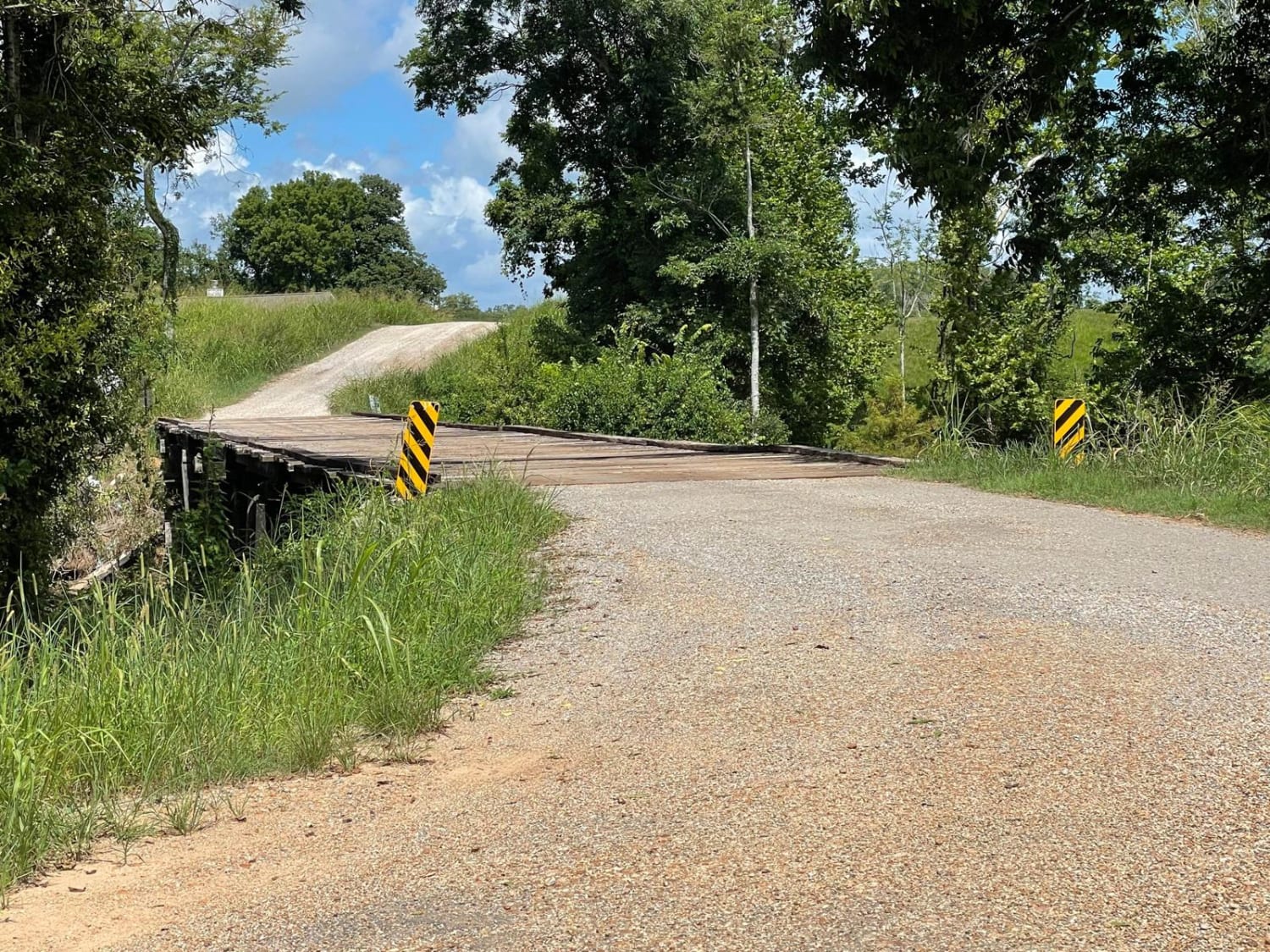
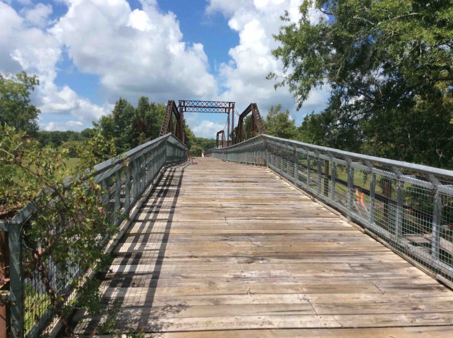
This trail begins at the north end of the Town of Simmesport, LA, and follows dirt roads and trails along Bayou des Glaises until you make a right turn to start the trail to the southern point of the Grassy Lakes WMA. Along the way, there are 1000's of acres of farmland and historical sites to see, such as the Sarto Old Iron Bridge (L'ancien post de set de Sarto). This trail leads to deep swamp areas with some really good oxbow lake and lake views. It is not uncommon to see a variety of wildlife, such as alligators, during a trail ride.
Photos of Grassy Lakes Wildlife Management Area (WMA) South Trail
Difficulty
The road leading to the trail is gravel, but once you make the turn toward the Grassy Lake WMA the road transitions to a mostly dirt with some clay mixed in some areas. The spurs off the mail trail would be rated at a higher level between a 4-6. Also, depending on weather situations, the dirt roads have the potential to become very slick and develop larger ruts and holes.
Status Reports
Grassy Lakes Wildlife Management Area (WMA) South Trail can be accessed by the following ride types:
- High-Clearance 4x4
- SUV
Grassy Lakes Wildlife Management Area (WMA) South Trail Map
Popular Trails
Kurthwood Road
Dewey Wills Wildlife Management Area (WMA) Cross Trail
Gum Springs and Fowler
Old Tunica Road
The onX Offroad Difference
onX Offroad combines trail photos, descriptions, difficulty ratings, width restrictions, seasonality, and more in a user-friendly interface. Available on all devices, with offline access and full compatibility with CarPlay and Android Auto. Discover what you’re missing today!
