Trail 4A
Total Miles
0.2
Technical Rating
Best Time
Spring, Summer, Fall, Winter
Trail Type
High-Clearance 4x4 Trail
Accessible By
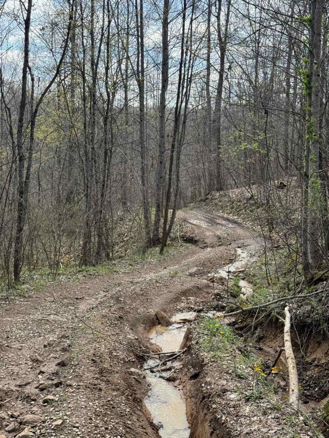
Trail Overview
This trail is a short loop off of Trail 4. This trail travels around and beside an old oil pump. The trail then goes down and beside Sand Lick Fork. The creek that flows through this area is surrounded by trees and is a nice place to stop before heading into the park.
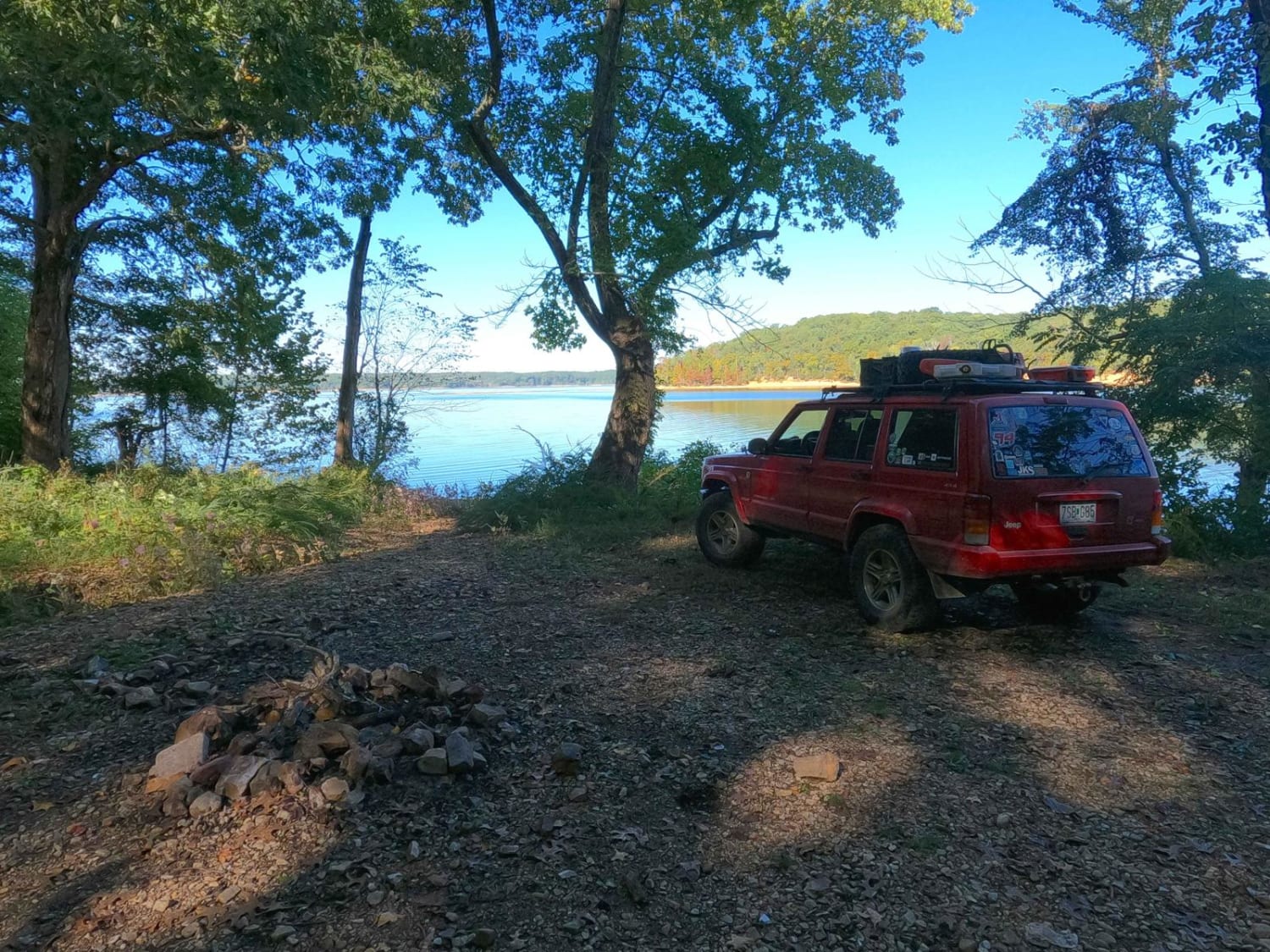
Photos of Trail 4A


Difficulty
Some washed and rutted spots, and generally, the obstacles on the trail are less than 12 inches. Loose rock can be found to traverse with some shallow areas of water to cross.
Status Reports
Trail 4A can be accessed by the following ride types:
- High-Clearance 4x4
- SxS (60")
- ATV (50")
- Dirt Bike
Trail 4A Map
Popular Trails

Trail 34 Maynards Fork

Mays Hollow Road - FS 343
The onX Offroad Difference
onX Offroad combines trail photos, descriptions, difficulty ratings, width restrictions, seasonality, and more in a user-friendly interface. Available on all devices, with offline access and full compatibility with CarPlay and Android Auto. Discover what you’re missing today!