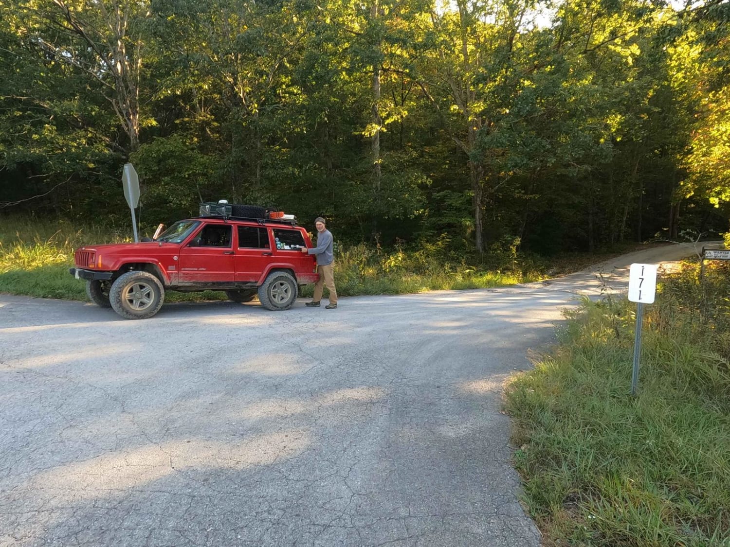
Redd Hollow Road - FS 171
Total Miles
1.9
Technical Rating
Best Time
Spring, Summer, Fall, Winter
Trail Type
Full-Width Road
Accessible By
Trail Overview
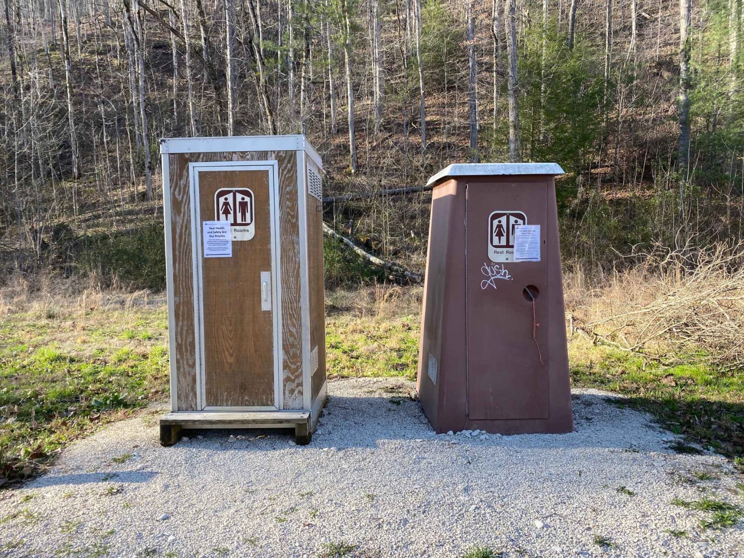
Redd Hollow Road FS 171 is a gravel forestry route through the southwest corner of the Kentucky section, Kentucky Lake side, of the Land Between the Lakes National Recreation Area. This route is simple, coming off the ridge top where the Woodland Trace road lays, and following gradually downhill to the west as it cuts through the surrounding woods. Then as the trail flattens out, the self-service campground and Kentucky Lake come into view. The final section of the road loops around a beautiful overlooking hill, featuring individually marked camp spots along the edge of the water. It's a great place to stay and enjoy the sunsets when considering a stay in LBL.
Photos of Redd Hollow Road - FS 171

Difficulty
Redd Hollow is a simple gravel road, generally well maintained due to the campsites at its endpoint. For this reason, it is given a base rating of 1/10, consisting of the mild grade up and down the hill to the Kentucky Lake water. Expect washboards, potholes, mounding of the gravel, spots where the gravel fades to dirt, and mild signs of erosion on the hill. The road could experience difficulty increases in times of heavy use, wet conditions, and inclement weather.
Status Reports
Redd Hollow Road - FS 171 can be accessed by the following ride types:
- High-Clearance 4x4
- SUV
Redd Hollow Road - FS 171 Map
Popular Trails
Indian Creek Road
Old Fincastle Rd
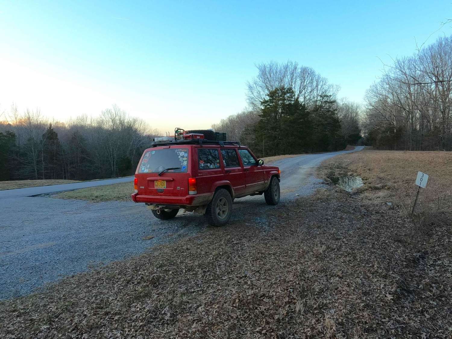
Benberry Cemetery Road - FS 301

The onX Offroad Difference
onX Offroad combines trail photos, descriptions, difficulty ratings, width restrictions, seasonality, and more in a user-friendly interface. Available on all devices, with offline access and full compatibility with CarPlay and Android Auto. Discover what you’re missing today!