Myers Fork Road
Total Miles
11.5
Technical Rating
Best Time
Spring, Summer, Fall, Winter
Trail Type
Full-Width Road
Accessible By
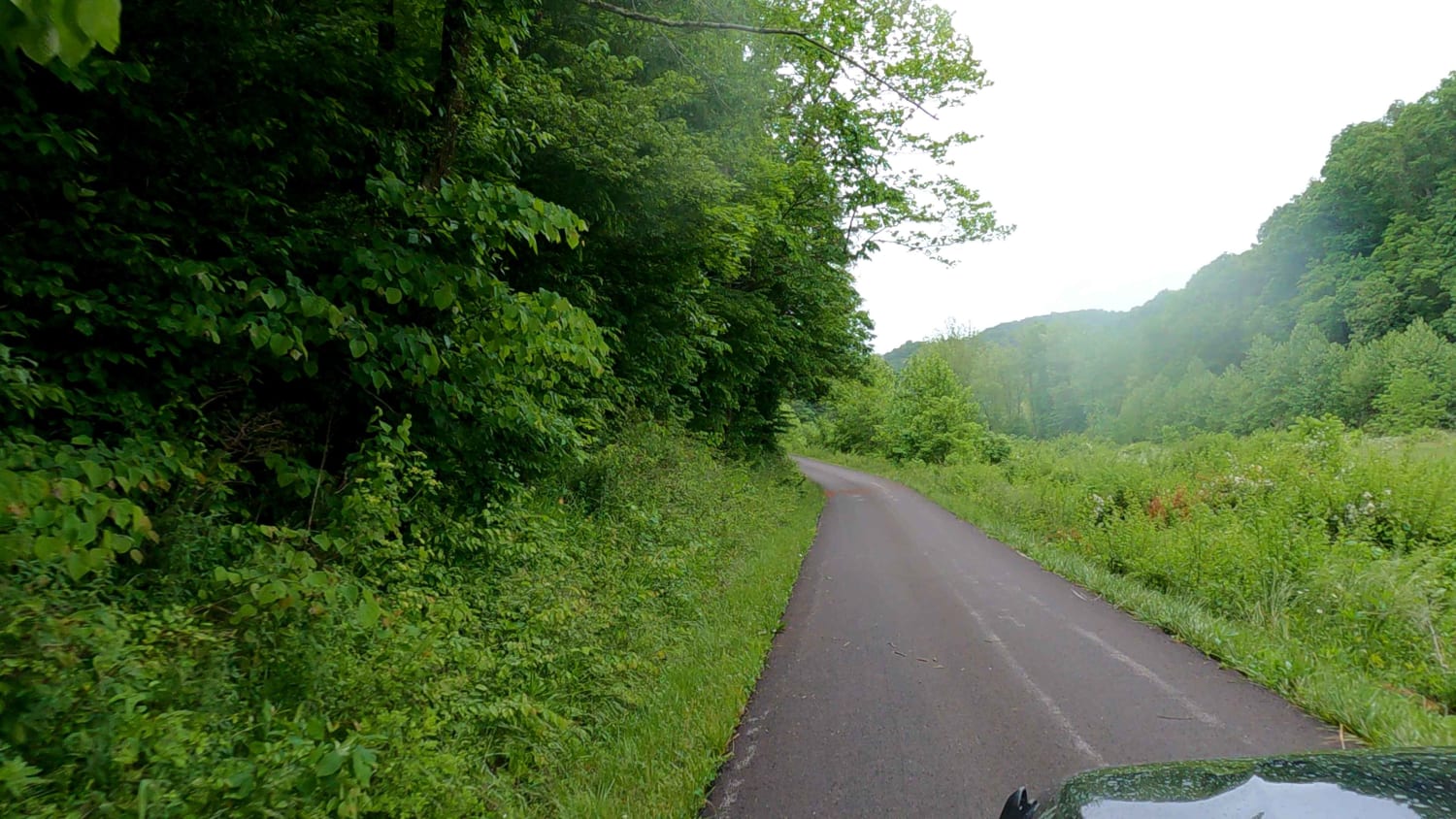
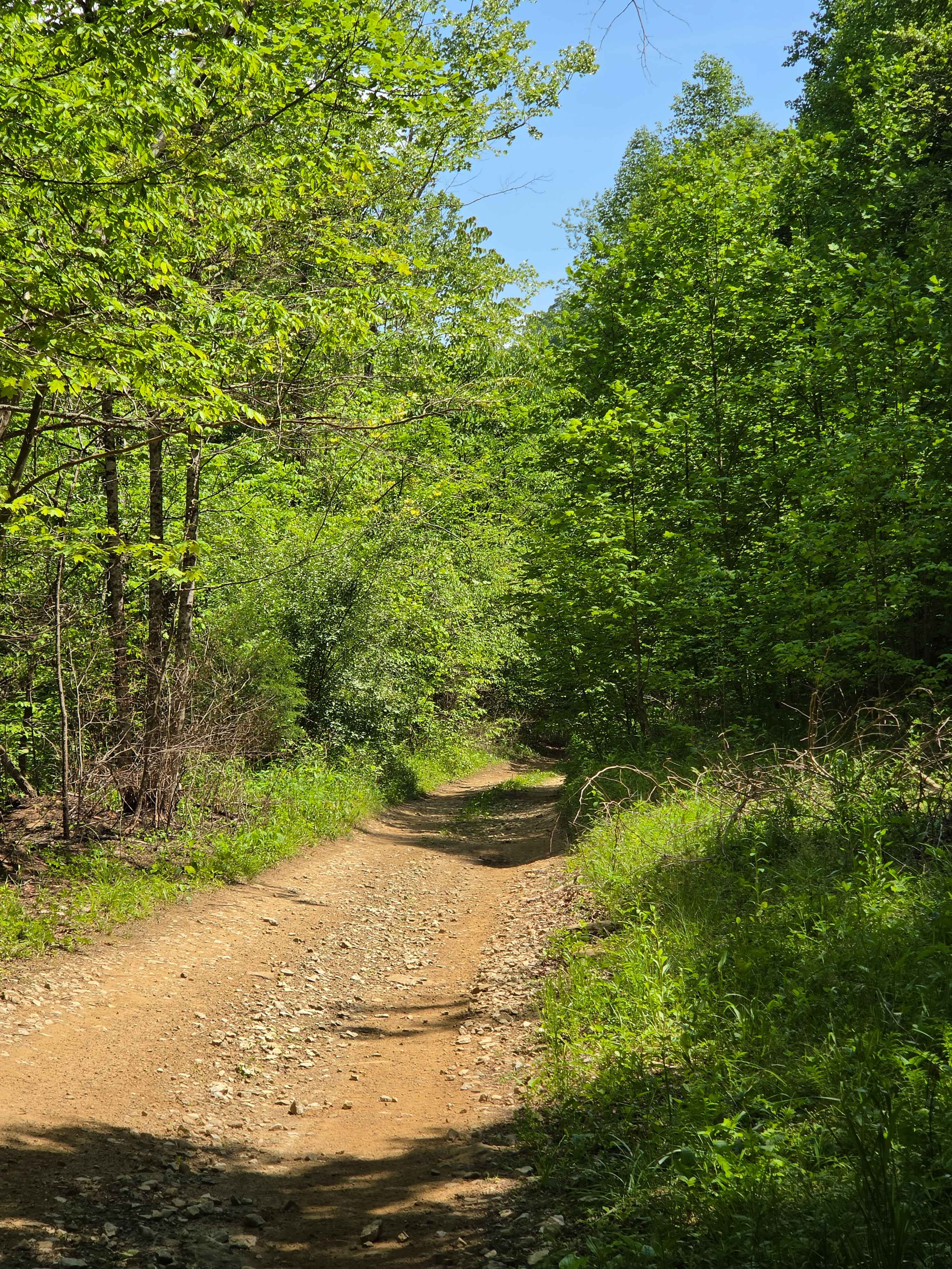
Trail Overview
A very scenic paved back road. This road will take you down and in between many trails in the area. This road is also part of the Daniel Boone Backcountry Byway. A fantastic set of trails that run all over the area. Myers Fork leads to some beautiful parts of Frenchburg.
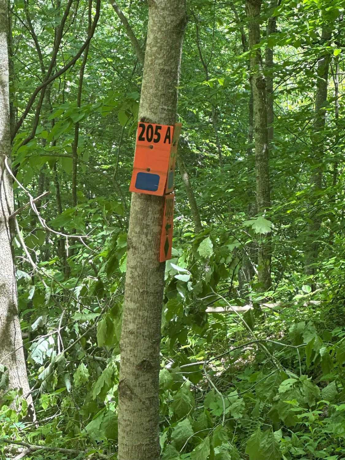
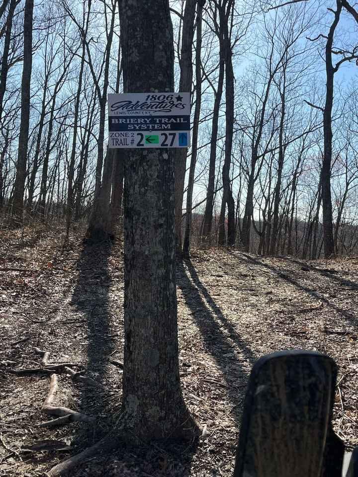
Photos of Myers Fork Road

Difficulty
Paved County Road
Status Reports
Myers Fork Road can be accessed by the following ride types:
- High-Clearance 4x4
- SUV
Myers Fork Road Map
Popular Trails
upper teges
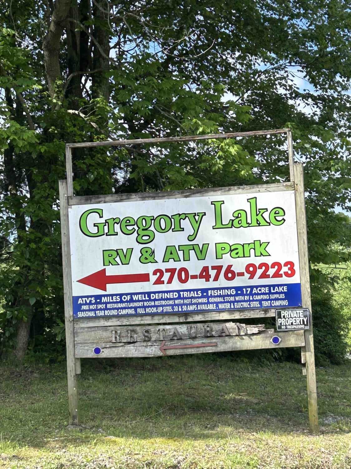
Gregory Lake West Boundary
The onX Offroad Difference
onX Offroad combines trail photos, descriptions, difficulty ratings, width restrictions, seasonality, and more in a user-friendly interface. Available on all devices, with offline access and full compatibility with CarPlay and Android Auto. Discover what you’re missing today!