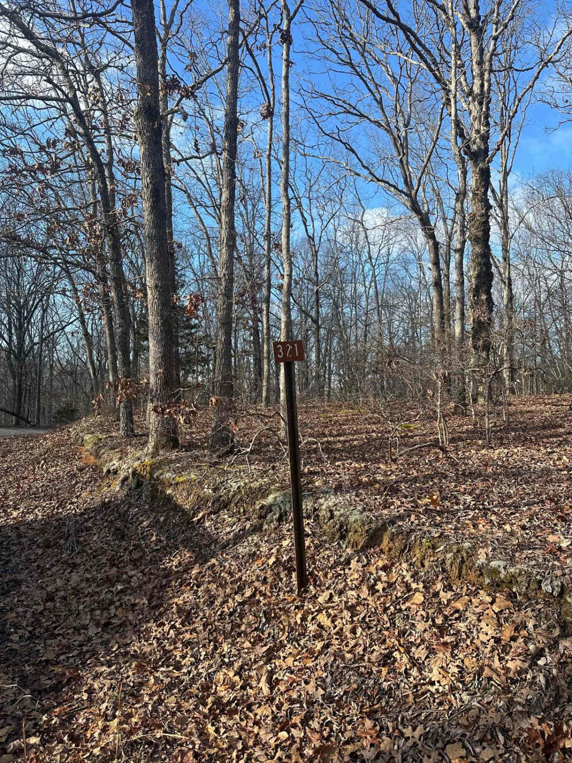
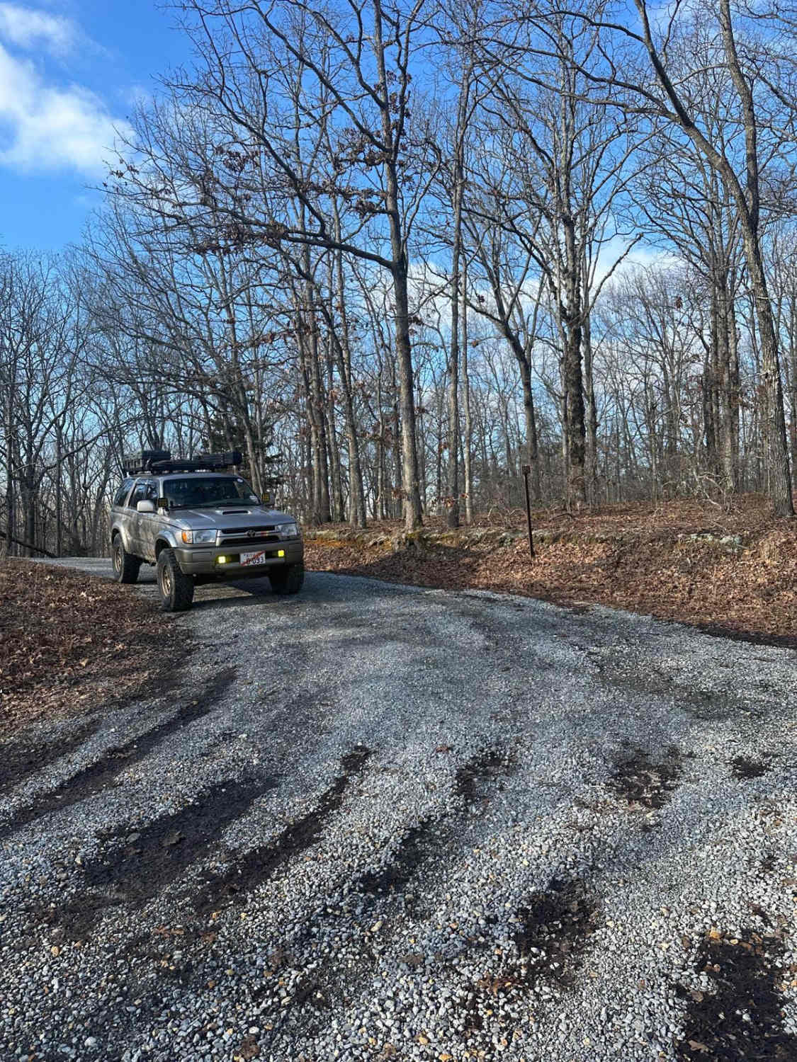
FSR - 321
Total Miles
0.7
Technical Rating
Best Time
Spring, Summer, Fall
Trail Type
Full-Width Road
Accessible By
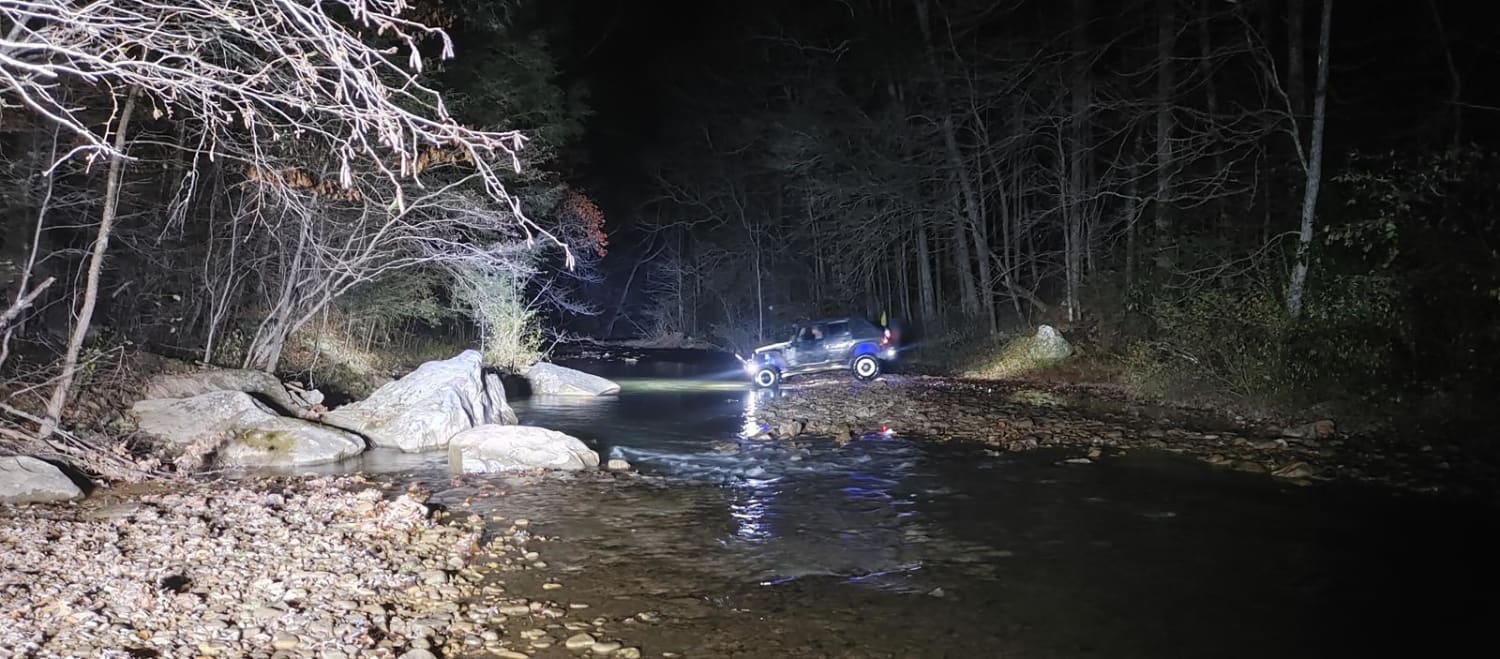
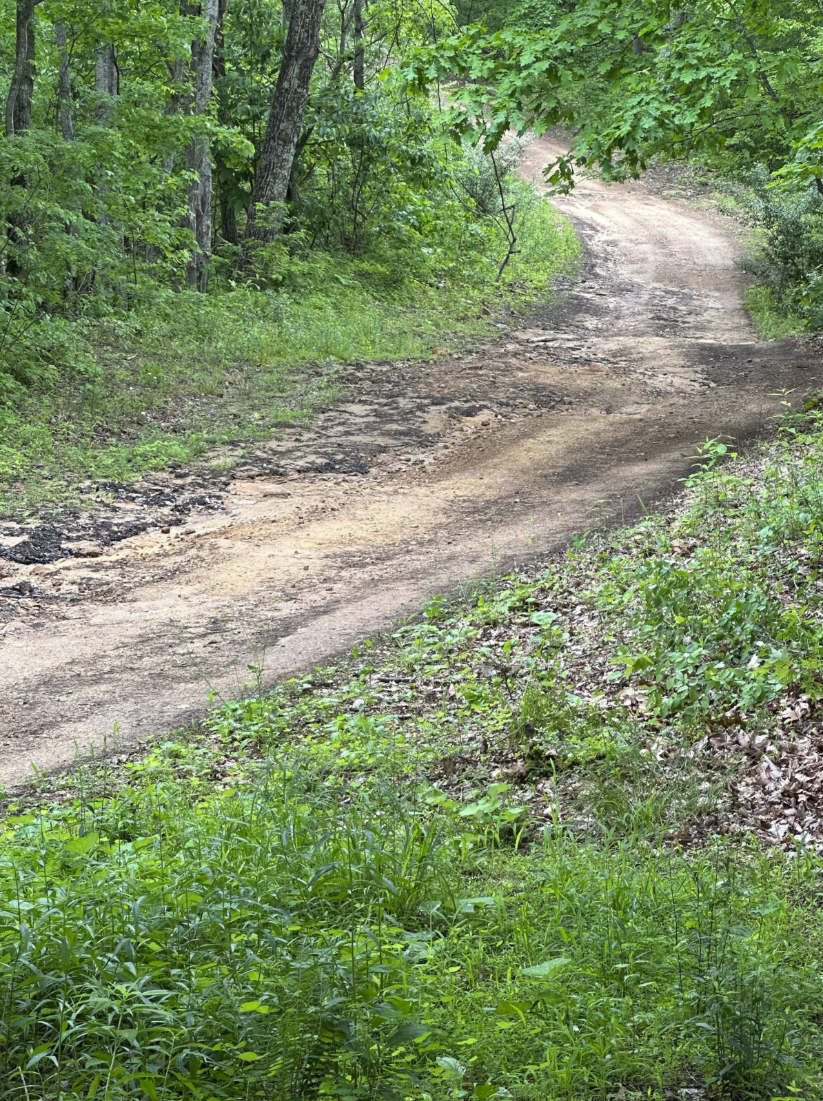
Trail Overview
Forest Service Road 321 is located in the northern half of Land Between the Lakes National Recreation Area off of Ironton Road - FSR 144. It is a dead-end road that is mostly gravel with a 1-2 foot deep creek crossing depending on recent weather, followed by a small incline. Leading up to the creek, it is mostly gravel with a mix of dirt following the crossing, it is a dirt road with some very small ruts.
Photos of FSR - 321
Difficulty
The road is mostly smooth gravel, the main difficulty lies with the small creek crossing near the middle of the trail. Generally, the creek will be ~1 foot deep or less, but with heavy rains, the water level rises. The small dirt road includes following the crossing can have very small ruts.
FSR - 321 can be accessed by the following ride types:
- High-Clearance 4x4
- SUV
- SxS (60")
- ATV (50")
- Dirt Bike
FSR - 321 Map
Popular Trails
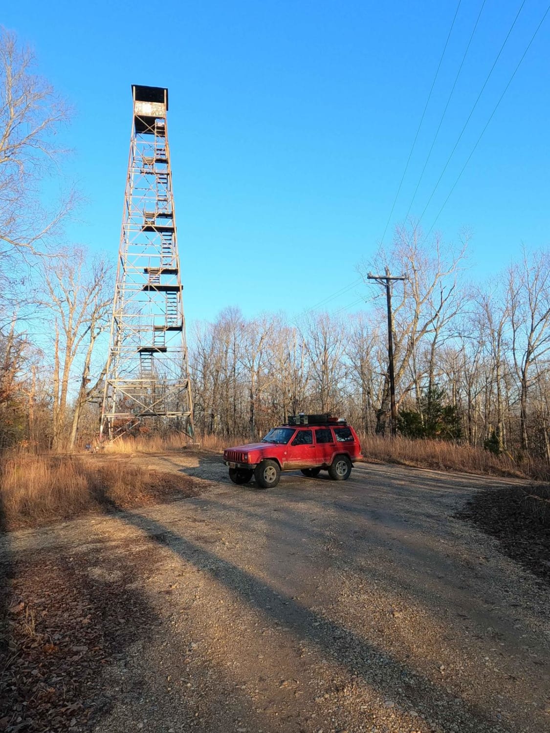
Hematite Tower Road - FS 310
The onX Offroad Difference
onX Offroad combines trail photos, descriptions, difficulty ratings, width restrictions, seasonality, and more in a user-friendly interface. Available on all devices, with offline access and full compatibility with CarPlay and Android Auto. Discover what you’re missing today!