Energy Ridge - FS 322
Total Miles
2.6
Technical Rating
Best Time
Summer, Winter, Fall
Trail Type
High-Clearance 4x4 Trail
Accessible By
Trail Overview
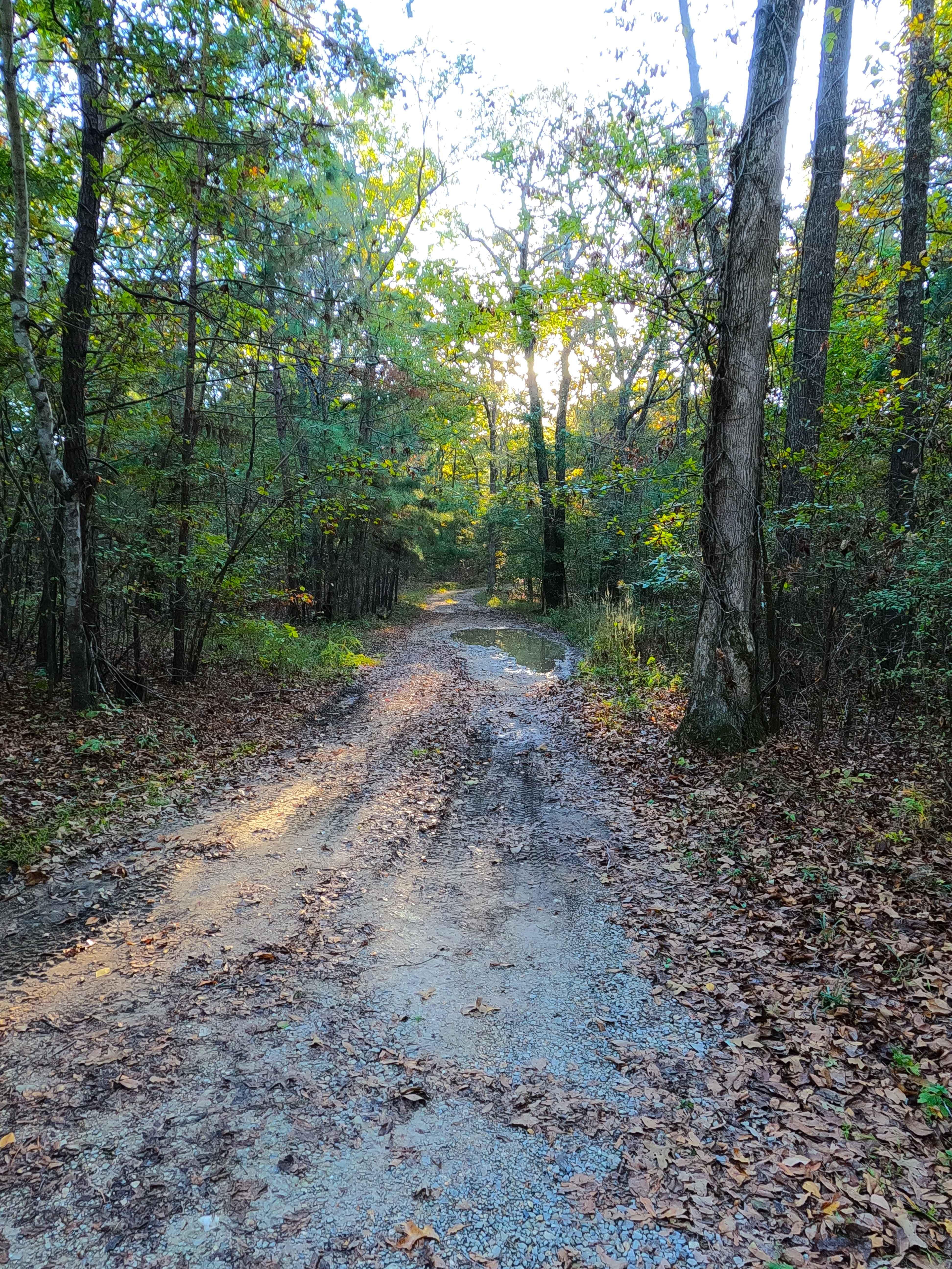
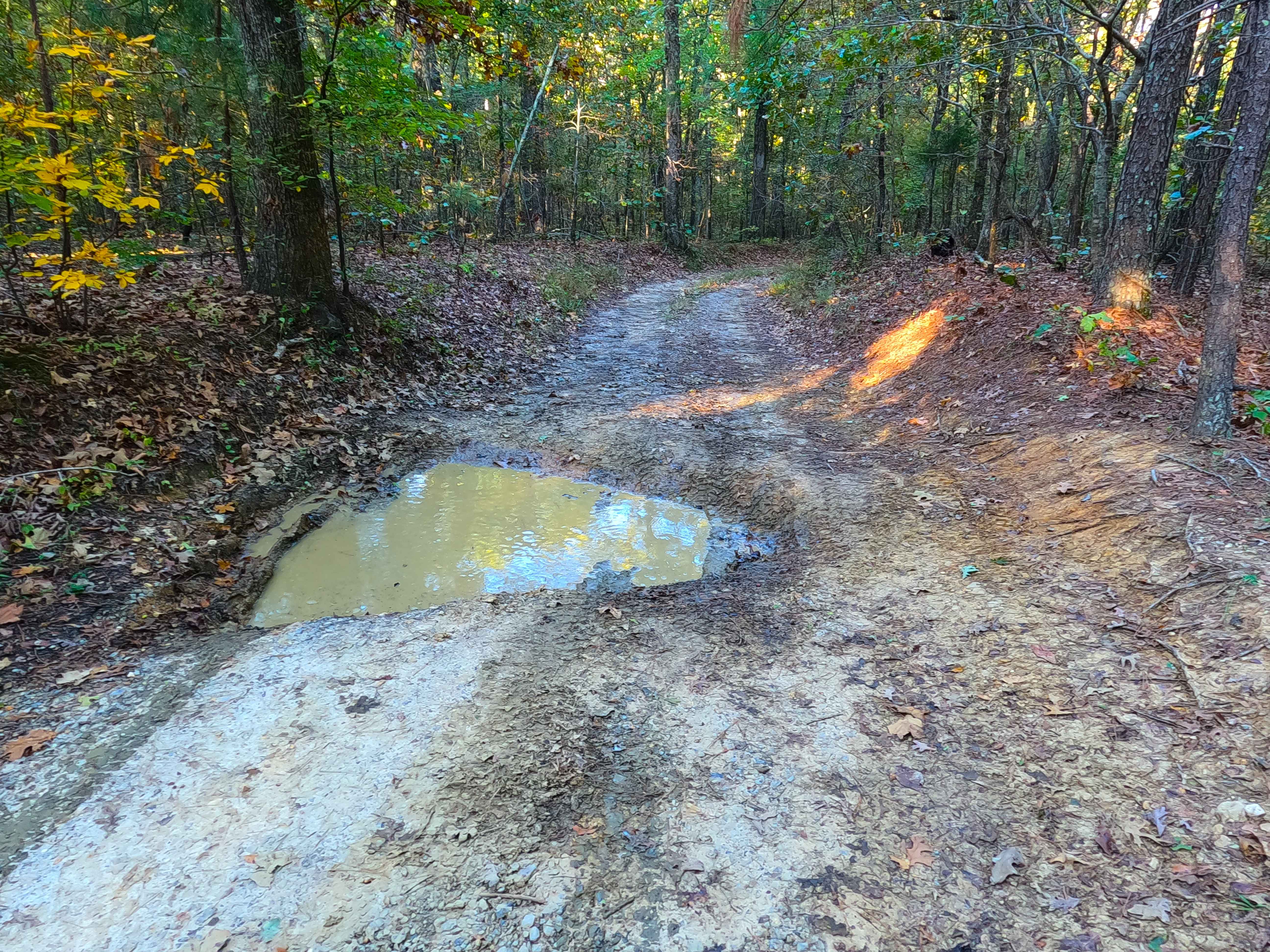
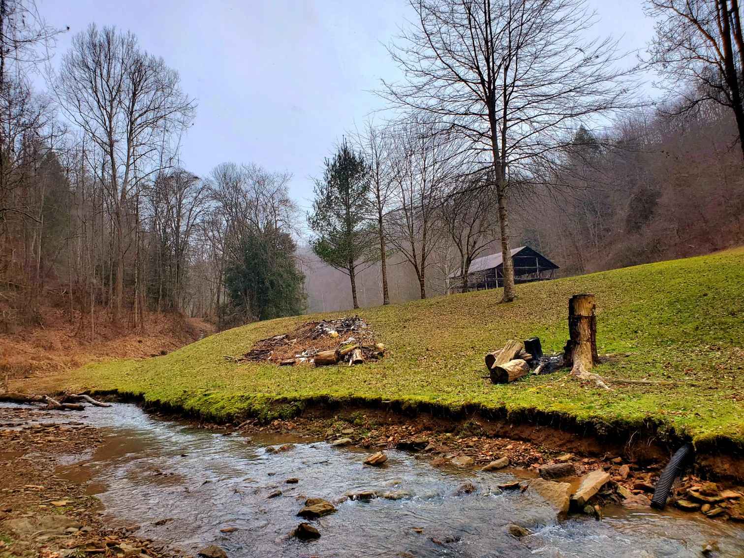
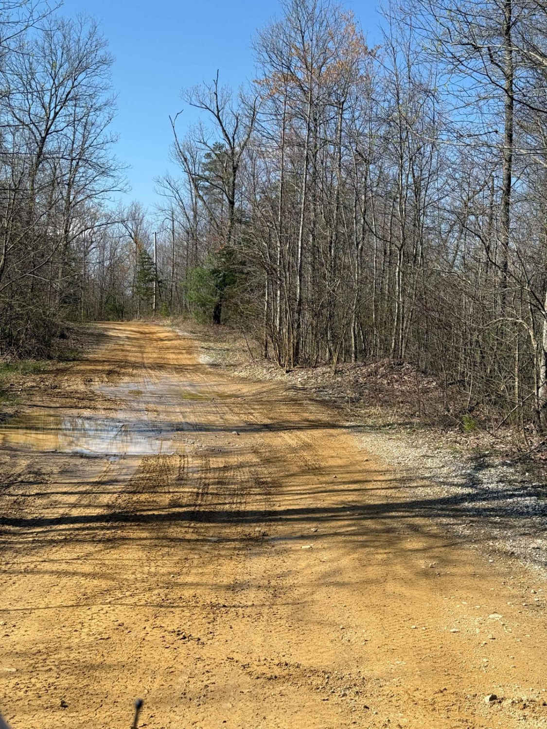
Energy Ridge Road (FS 322) is a natural mix terrain forest service road through the central Kentucky inland section of the Land Between the Lakes National Recreation Area. This road has a seasonal closure/permitting for Turkey Season, closed to the public, permitted only to those with hunting access from 3/28 to 5/4 annually. This route connects as a loop with the FS 134 and FS 135, housing the Taylor Creek valley, amongst the three roads. Energy Ridge packs a punch with a muddy natural terrain experience, throwing the core elements of a Land Between the Lakes road together to form something thrilling and worth driving. It features a dirt mixed with natural coarse gravel road, with steep hills, ridge top spines, mudholes, tight trees, deep erosion washes, more mudholes, creek crossings, all backed by the hunting sport it supports, with lots of mudholes. If you want the mall crawler to stay clean, don't come here, or its sibling/spur road, the FS 324.
Photos of Energy Ridge - FS 322
Difficulty
Energy Ridge is given a base rating of 6/10, featuring mild/moderate grade hills, with active erosion ranging from 1 to 3 feet at deepest, leading to moderate off-camber situations, in these areas the trail has exposed natural coarse rock mostly of large gravel to cobble size (10 inches and below), the deepest erosion is on full display far east end near the mini switchback. Both ends of the track start with hilly sections that drop down to small valleys, with the far west end crossing the Taylor Creek, before climbing back to the higher center ridge featuring several spines of elevation changes. In the spine section, of elevated ridge, the trail turns near completely to dirt, featuring soft-bottomed mudhole sections where the range of depth can be misleading, some holes are very deep, but are usually accompanied by a much more shallow counterpart, in the mostly-dry season when this was documented (10-2025) a 18 inch deep soft bottom mudhole was still mandatory to the trail but had very obvious signs that in the wet seasons range towards 24, potentially 36, inches when topped off with water, it is highly recommended to probe out the mudholes and determine where the best line is, check for ruts and tire width trunklines where the center mound can high-center on axles and undercarriage. Unsung difficulties, trees are tight, making the trail not ideal for full-size vehicles, but also not impossible, as the deep mudholes become mandatory. Due to the dynamics of the southeast USA, rating can vary, with some wise line choices, or the trail being bone dry, there are times that this trail can be run as a 4/10 on the western section to the Ferguson Hollow (FS 324), but with the erosion present on the far east section, there is always a 6/10 obstacle present to run the full road, with optional mudholes ranging in the 7/10 range or greater, and difficulty will increase in times of wet seasons. It is advised not to take on this trail alone, to also let this trail heal in the seasons of extreme wet conditions, versus further damaging the trail, and also be mindful of potential flash floods in the bottoms of the nearby FS 147.
History
The history of FS 322 and 324 seems to go hand and hand, with the original main use of said roads being access to the gas pipeline being pushed through the hills north to south. The 1967 Fenton, Kentucky, topo map shows the 322 illustrated with the pipeline marked as well. The 1986 Murray, Kentucky, topo map then shows the 324 in addition to the 322, and the pipeline cutting through both. Then it gets a little strange between 2010, 2013, and 2016 Fenton topo maps, both roads drop off the map in 2010, then 322 came back in 2013, with both returning in 2016 through the most current 2022 version. Ferguson Spring, in its prime, was a farming community based around the fresh spring water, with a church, school, and pair of cemeteries. Based on old Fenton topo maps, the Ferguson Spring church used to reside around 36.85055, -88.03922, with the school being around 36.85158, -88.03761. The FS 147 is home to two cemeteries, the Oakley Cemetery (mid-track on a hilltop) and the Ferguson Spring Cemetery (at the north endpoint). As of October 2025, these cemeteries honor over 115 lives lived from 1816 to 2017. Please show respect to those who came before us, leaving the cemeteries as or better than you found them. Documented by Christopher Menz, 10/2025.
Energy Ridge - FS 322 can be accessed by the following ride types:
- High-Clearance 4x4
Energy Ridge - FS 322 Map
Popular Trails
Martin County Trailhead to Trail 1
Betty Bowman
The onX Offroad Difference
onX Offroad combines trail photos, descriptions, difficulty ratings, width restrictions, seasonality, and more in a user-friendly interface. Available on all devices, with offline access and full compatibility with CarPlay and Android Auto. Discover what you’re missing today!