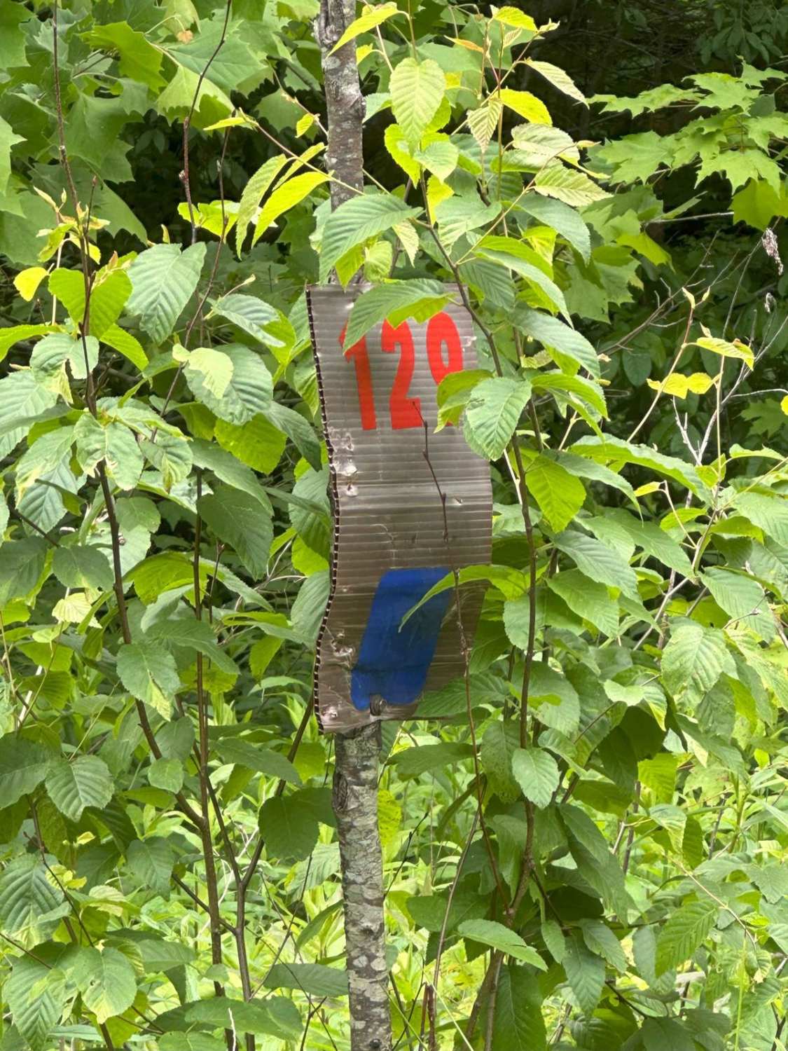
129
Total Miles
3.1
Technical Rating
Best Time
Spring, Summer, Fall, Winter
Trail Type
Full-Width Road
Accessible By
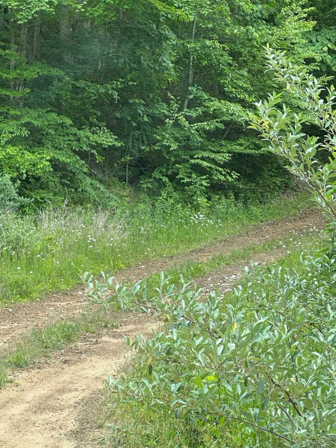
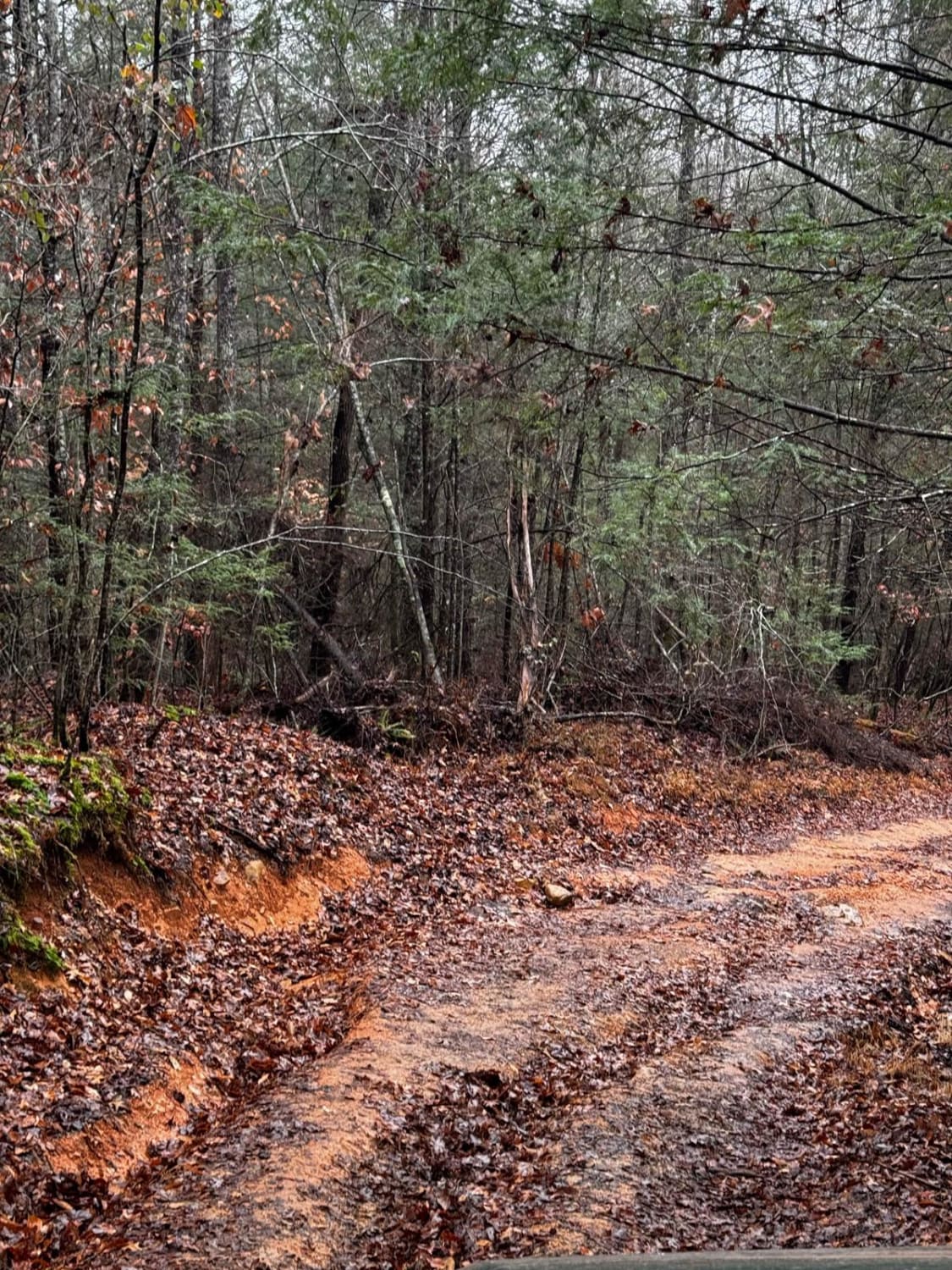
Trail Overview
This track will take you down to Highway 510 on Line Fork. It is mostly gravel with a few spots to cross mud holes. Take it slow, and you could see wildlife along your route. Deer were spotted while mapping this trail. Nothing much to be worried about, as this can mostly be done in 2WD, except for the few spots where the mud holes are a little deeper.
Photos of 129
Difficulty
There are a few mud holes that may need 4-wheel drive, but this can mainly be done in 2WD.
Status Reports
129 can be accessed by the following ride types:
- High-Clearance 4x4
- SUV
- SxS (60")
- ATV (50")
- Dirt Bike
129 Map
Popular Trails
White Sulphur ATV Loop to Overlook

Green Branch Road - FS 409
Wild Dog Creek Trail
The onX Offroad Difference
onX Offroad combines trail photos, descriptions, difficulty ratings, width restrictions, seasonality, and more in a user-friendly interface. Available on all devices, with offline access and full compatibility with CarPlay and Android Auto. Discover what you’re missing today!