Waconda
Total Miles
22.1
Technical Rating
Best Time
Spring, Fall, Summer
Trail Type
Full-Width Road
Accessible By
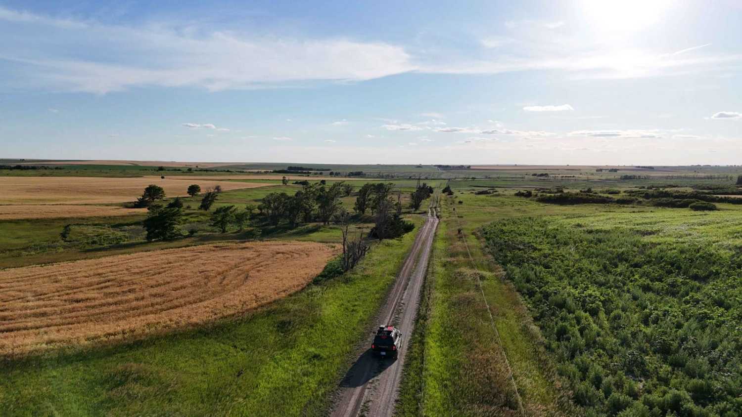
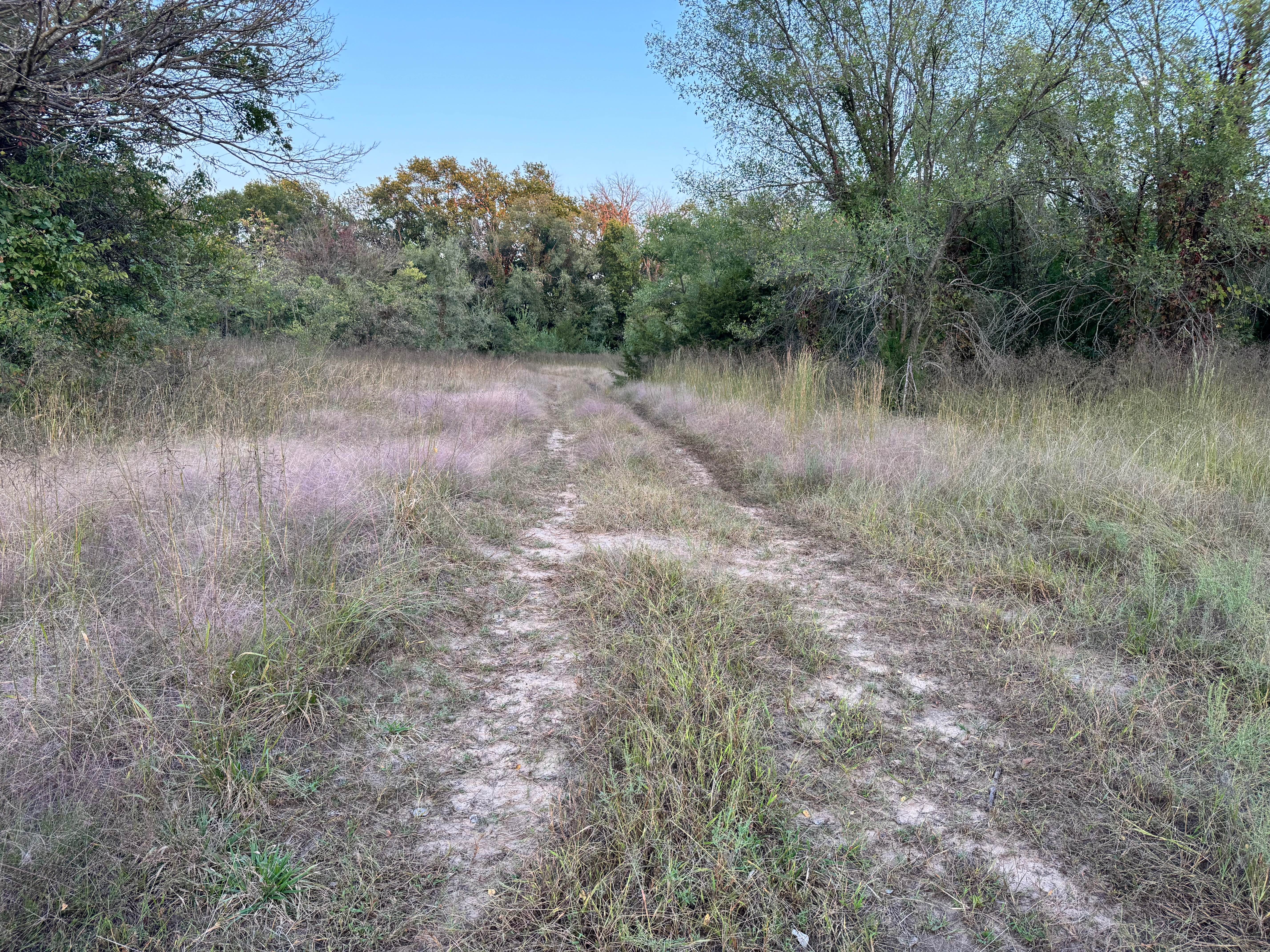
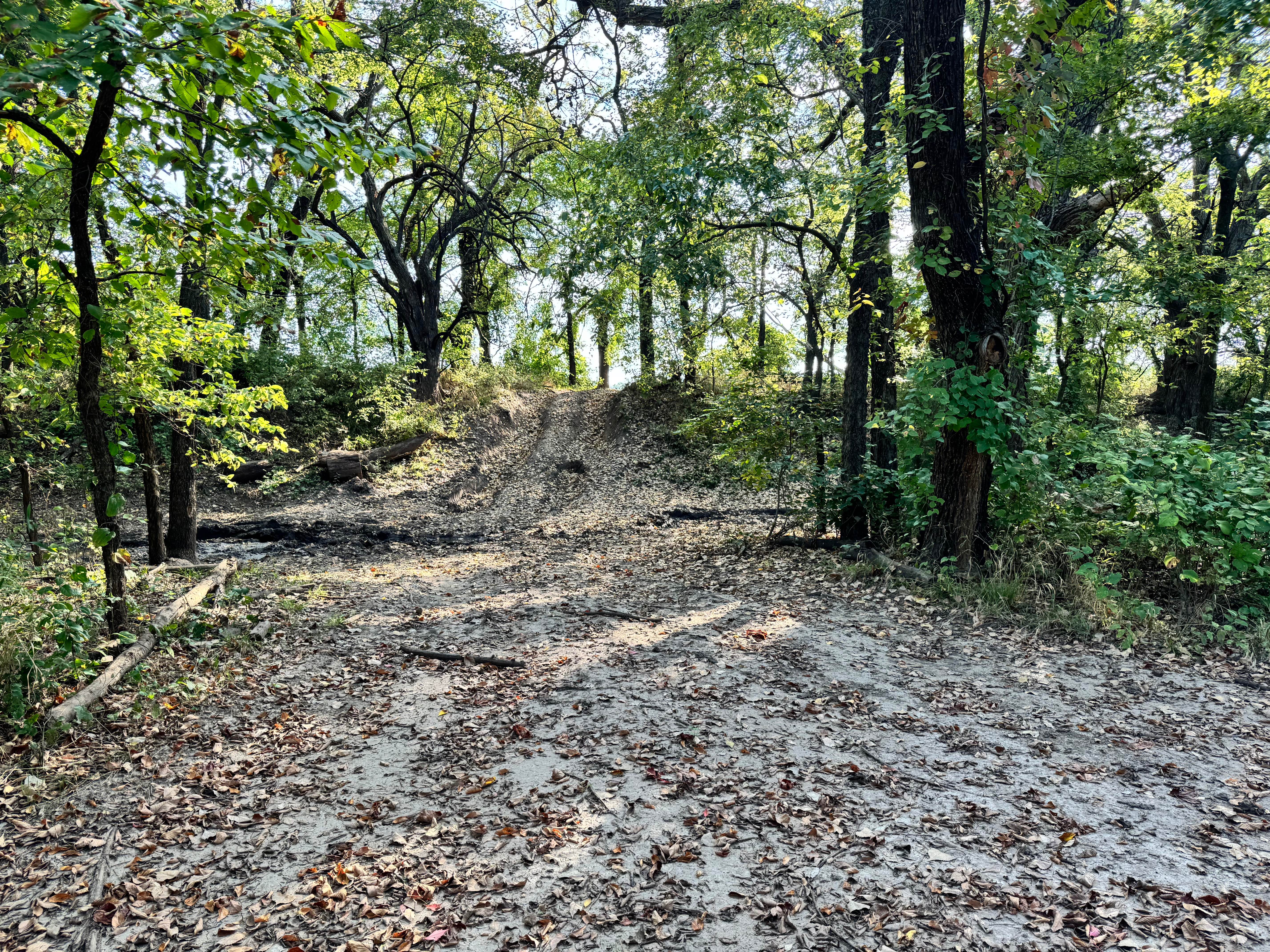
Trail Overview
This trail follows around the south side of Waconda Lake. The Lake was created in 1969, but before it was a lake, it was known as Waconda Springs, and was a sacred gathering place for the various Native American Tribes. Several access points along this trail allow you to get down to the lake. Don't forget to look around for many have found arrowheads and other artifacts and fossils along the lake's edge. This is mostly Dirt trail with a few gravel spots. When the roads are easy to travel, but if the weather changes and gets a lot of rain or snow, the trail will be a lot more difficult. Keep this in mind and remember to Tread Lightly, for farmers use this to get access to their fields.
Photos of Waconda

Difficulty
Mostly dirt roads with a few gravel areas. The weather will affect this trail and can make it a lot more difficult.
History
This was a Native American sacred area.
Status Reports
Waconda can be accessed by the following ride types:
- High-Clearance 4x4
- SUV
- SxS (60")
- ATV (50")
- Dirt Bike
Waconda Map
Popular Trails
Scrap Yard Sprint

Kathleen's Folly

Ford Flip South
The onX Offroad Difference
onX Offroad combines trail photos, descriptions, difficulty ratings, width restrictions, seasonality, and more in a user-friendly interface. Available on all devices, with offline access and full compatibility with CarPlay and Android Auto. Discover what you’re missing today!