Union Road
Total Miles
1.6
Technical Rating
Best Time
Spring, Summer, Fall, Winter
Trail Type
Full-Width Road
Accessible By
Trail Overview
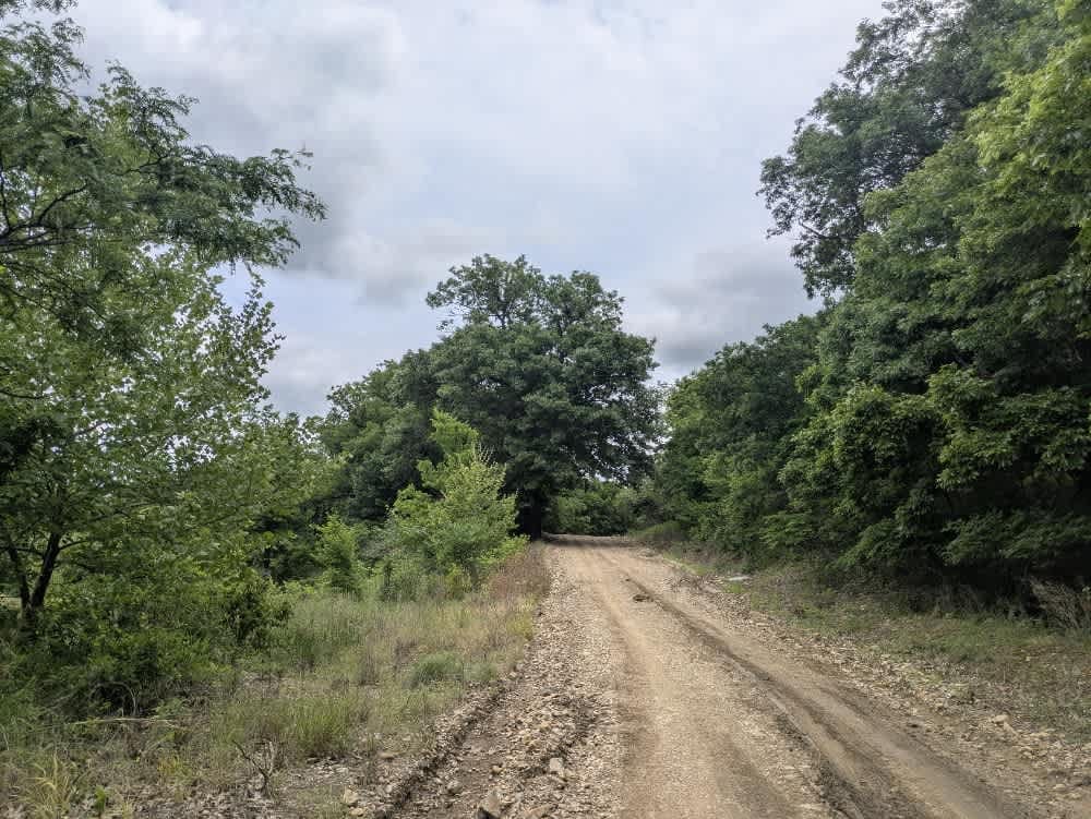
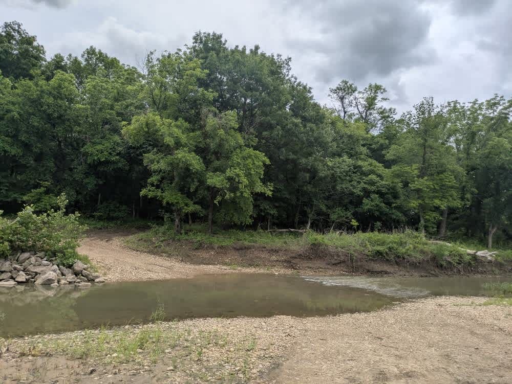
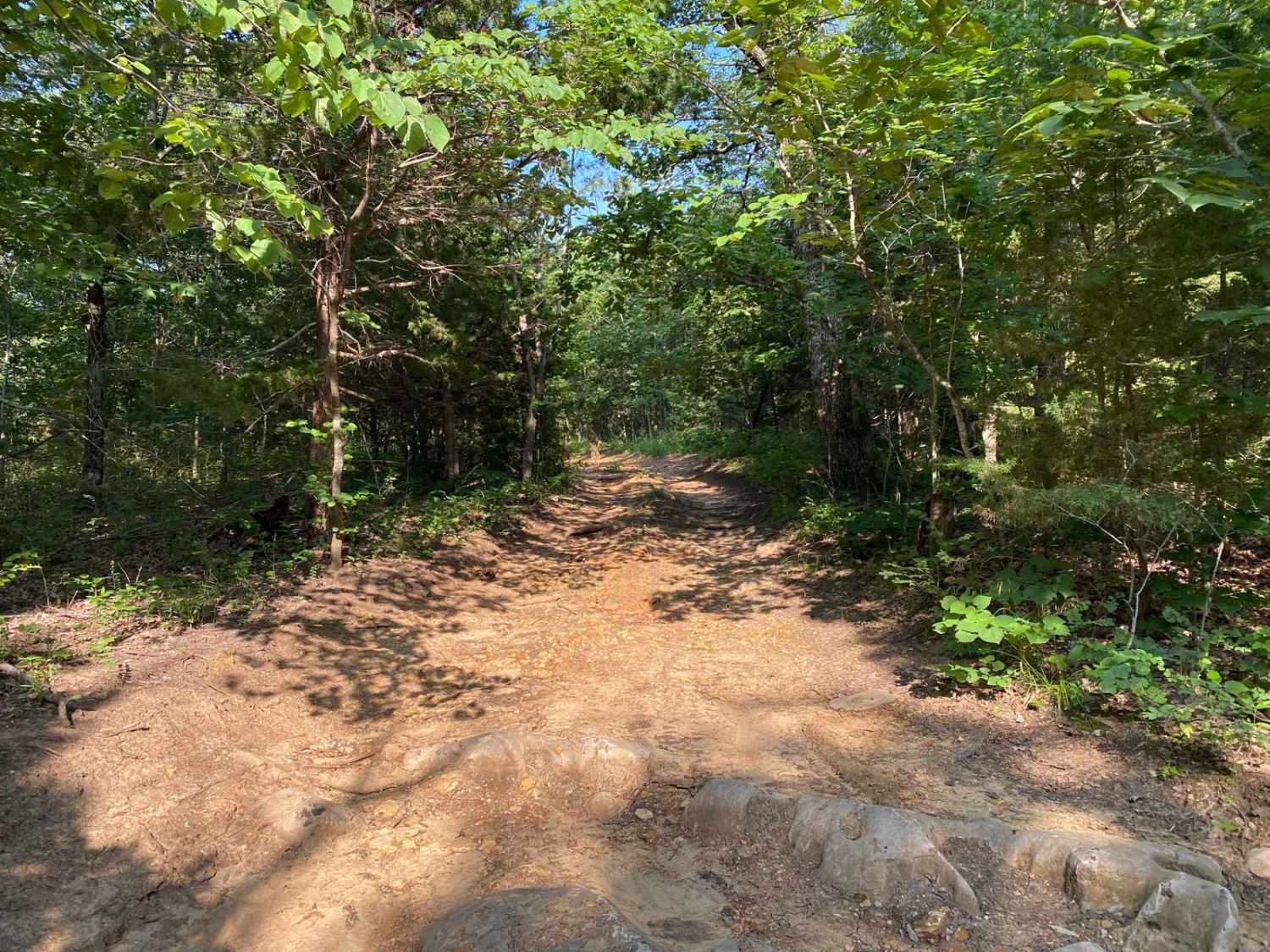
The track is a seldom-traveled ribbon of loose gravel;about halfway in, a slick hairpin drops toward the river, where the crossing proves deeper than it looks, and the base is nothing more than soft mud mixed with scattered rocks. On the opposite bank, the road stays muddy while it climbs away from the creek, but the surface gradually firms up and levels off as it approaches the junction with the next trail. You will not find campsites, bins, or water taps anywhere along this stretch, and cell coverage fades in and out, so keep an eye on your onX map when a signal appears.
Photos of Union Road
Difficulty
This road consists primarily of well-maintained county gravel roads and rural connectors running through the eastern edge of the Flint Hills. Roads are graded regularly, wide enough for two vehicles to pass, and suitable for all high-clearance vehicles and most passenger vehicles in dry conditions.
History
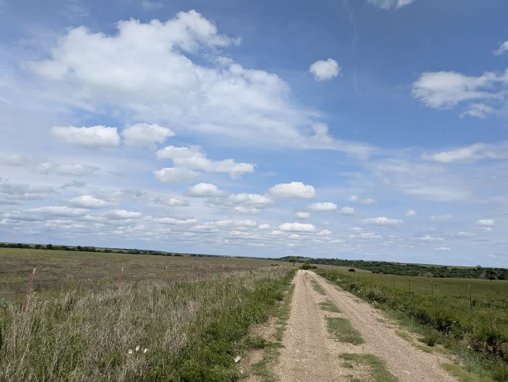
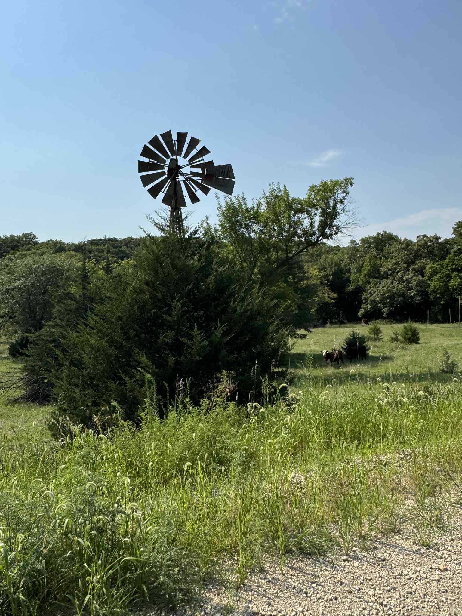
This route traces the historic heartland of the Flint Hills, a region that has remained largely untouched by modern agriculture due to its shallow, rocky soils--making it one of the last strongholds of North America's tallgrass prairie. The trails crosses land with deep cultural roots--from Native American hunting grounds to working cattle ranches. Expect long views over tallgrass prairie, passing ghost towns, century-old barns, and scenic byways that have carried generations of ranchers and travelers alike.
Status Reports
Union Road can be accessed by the following ride types:
- High-Clearance 4x4
- SUV
Union Road Map
Popular Trails
River Run Spur

Max and Patty's Spot
Wagon Trail Connector
The onX Offroad Difference
onX Offroad combines trail photos, descriptions, difficulty ratings, width restrictions, seasonality, and more in a user-friendly interface. Available on all devices, with offline access and full compatibility with CarPlay and Android Auto. Discover what you’re missing today!