Tinker Trail
Total Miles
0.1
Technical Rating
Best Time
Spring, Summer, Fall
Trail Type
Full-Width Road
Accessible By
Trail Overview
This trail is generally mild and offers an easy ride for most vehicles. It follows a gentle path with one section running along a small hillside, where the trail leans slightly off-camber. While this side slope may require basic attention to balance and tire placement, it is not severe enough to concern most drivers. Beyond that brief tilt, the rest of the trail is straightforward with no major obstacles, deep ruts, or mud holes. The route winds calmly through natural surroundings, making it a smooth and relaxed drive suitable for beginners or anyone seeking a peaceful trail without technical challenges. Overall, it's more scenic than difficult.
Photos of Tinker Trail
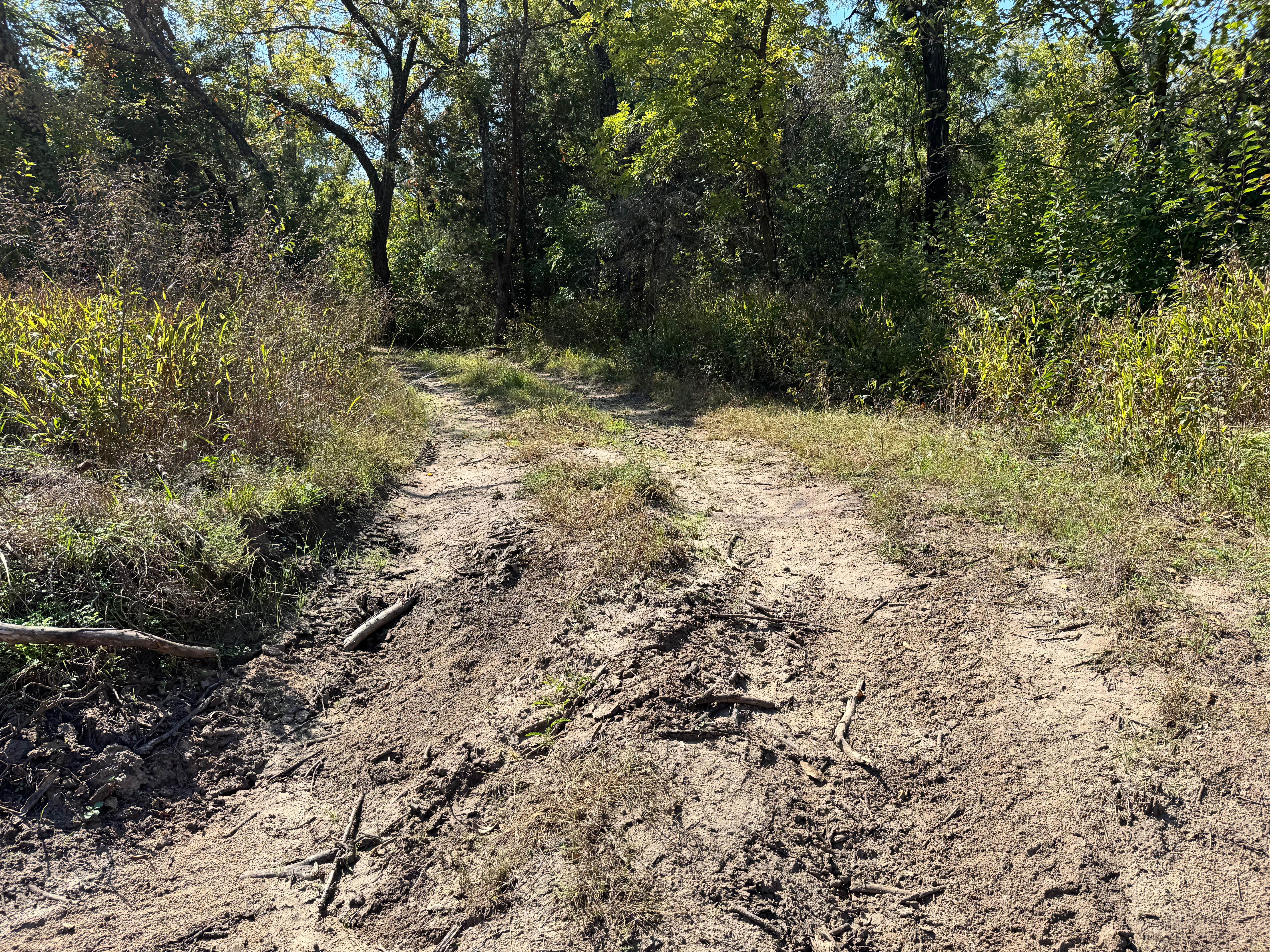
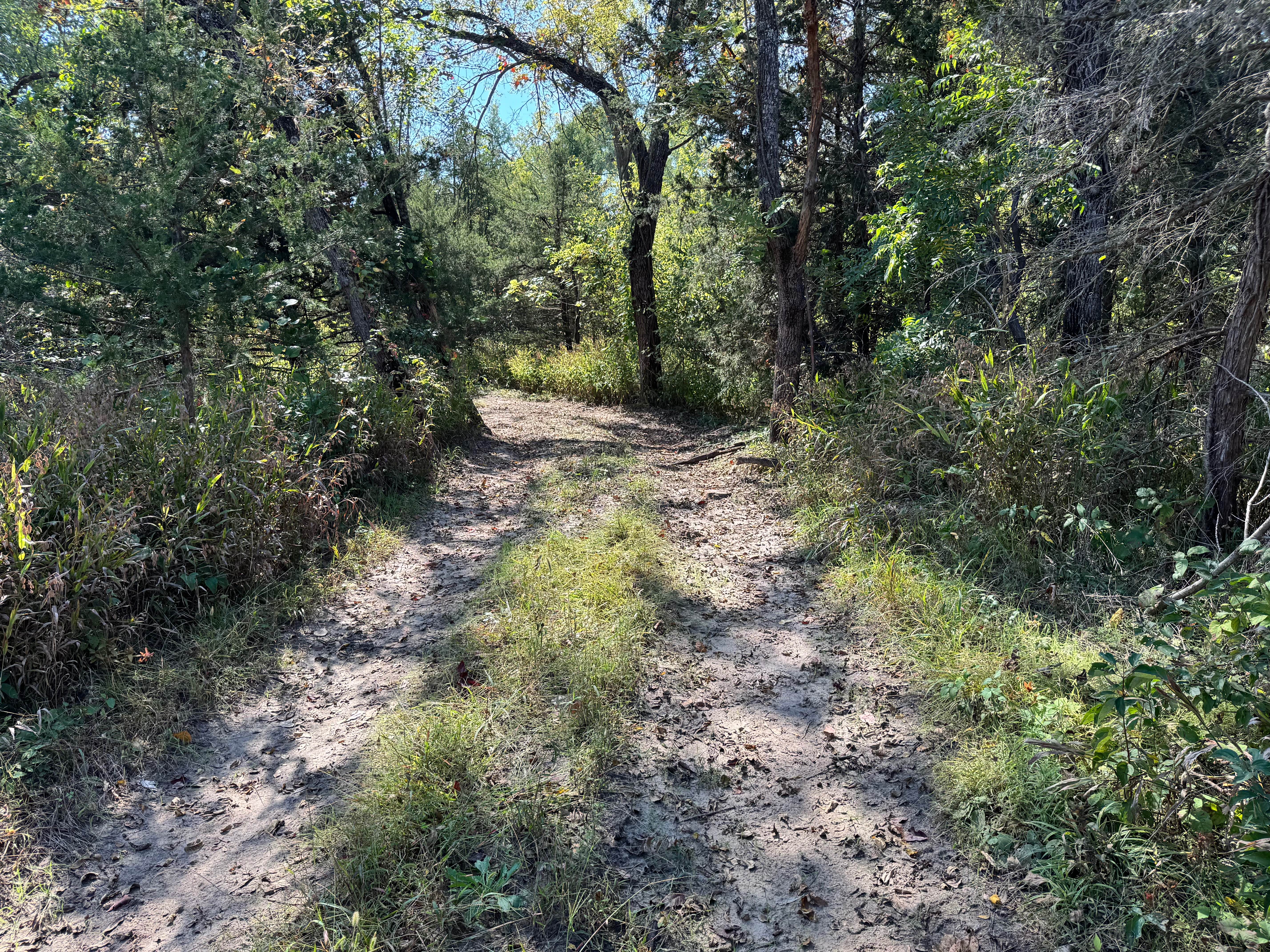
Difficulty
This trail is very mild with only a slight off-camber section on a small hillside. There are no major obstacles, making it suitable for beginners and stock vehicles. It's more scenic than technical.
History
This park was formerly known as Sandy Bottoms, and longtime visitors may still refer to it by that name. The access road and staging area have evolved over time, but it remains a well-known local spot for off-road events and community rides.
Status Reports
Tinker Trail can be accessed by the following ride types:
- High-Clearance 4x4
- SUV
- SxS (60")
Tinker Trail Map
Popular Trails
County Road 31


Burgoon's Black Snake
Clapboard Ravine
The onX Offroad Difference
onX Offroad combines trail photos, descriptions, difficulty ratings, width restrictions, seasonality, and more in a user-friendly interface. Available on all devices, with offline access and full compatibility with CarPlay and Android Auto. Discover what you’re missing today!