Test Bench Run
Total Miles
0.0
Technical Rating
Best Time
Spring, Summer, Fall
Trail Type
Full-Width Road
Accessible By
Trail Overview
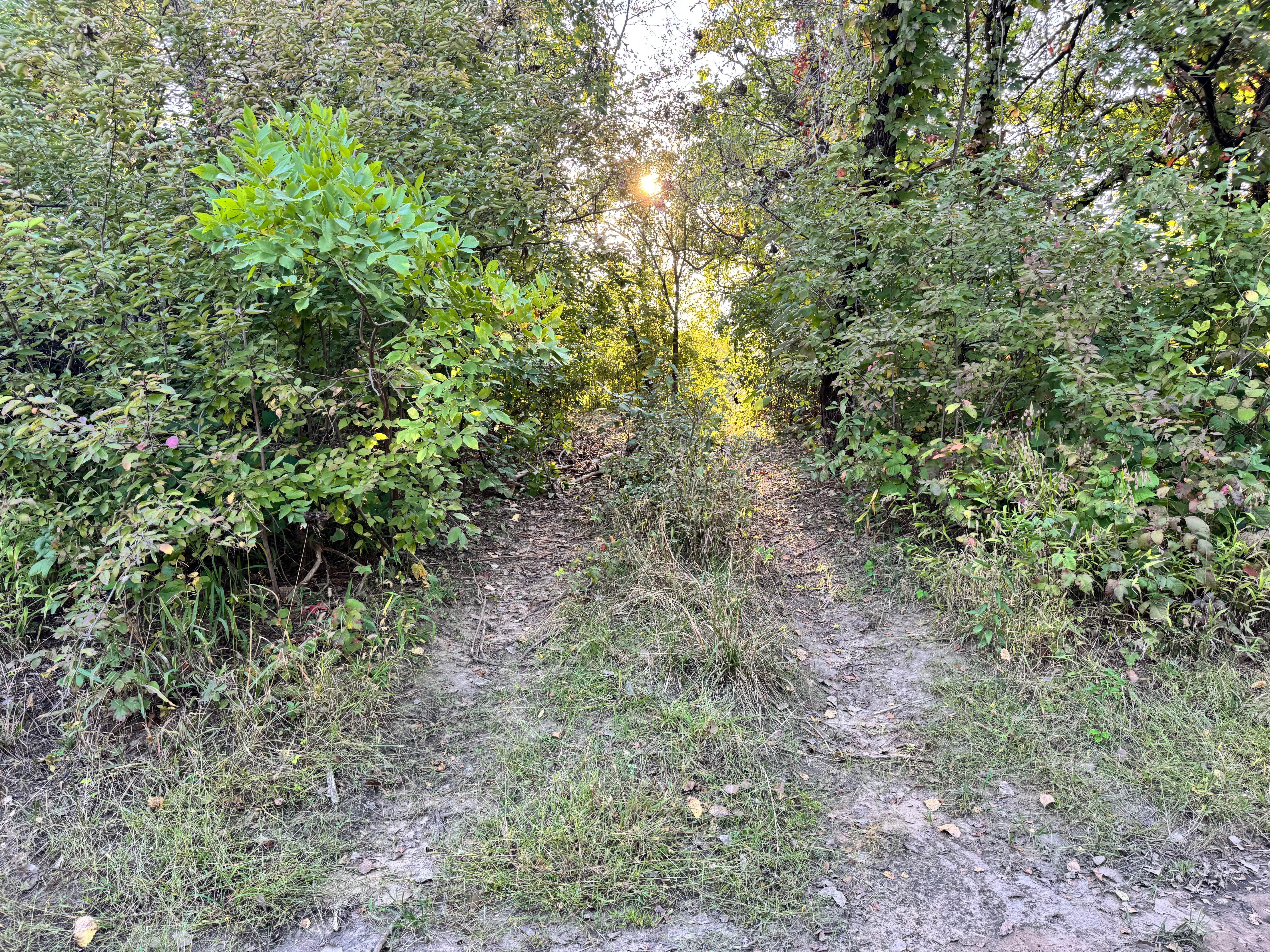
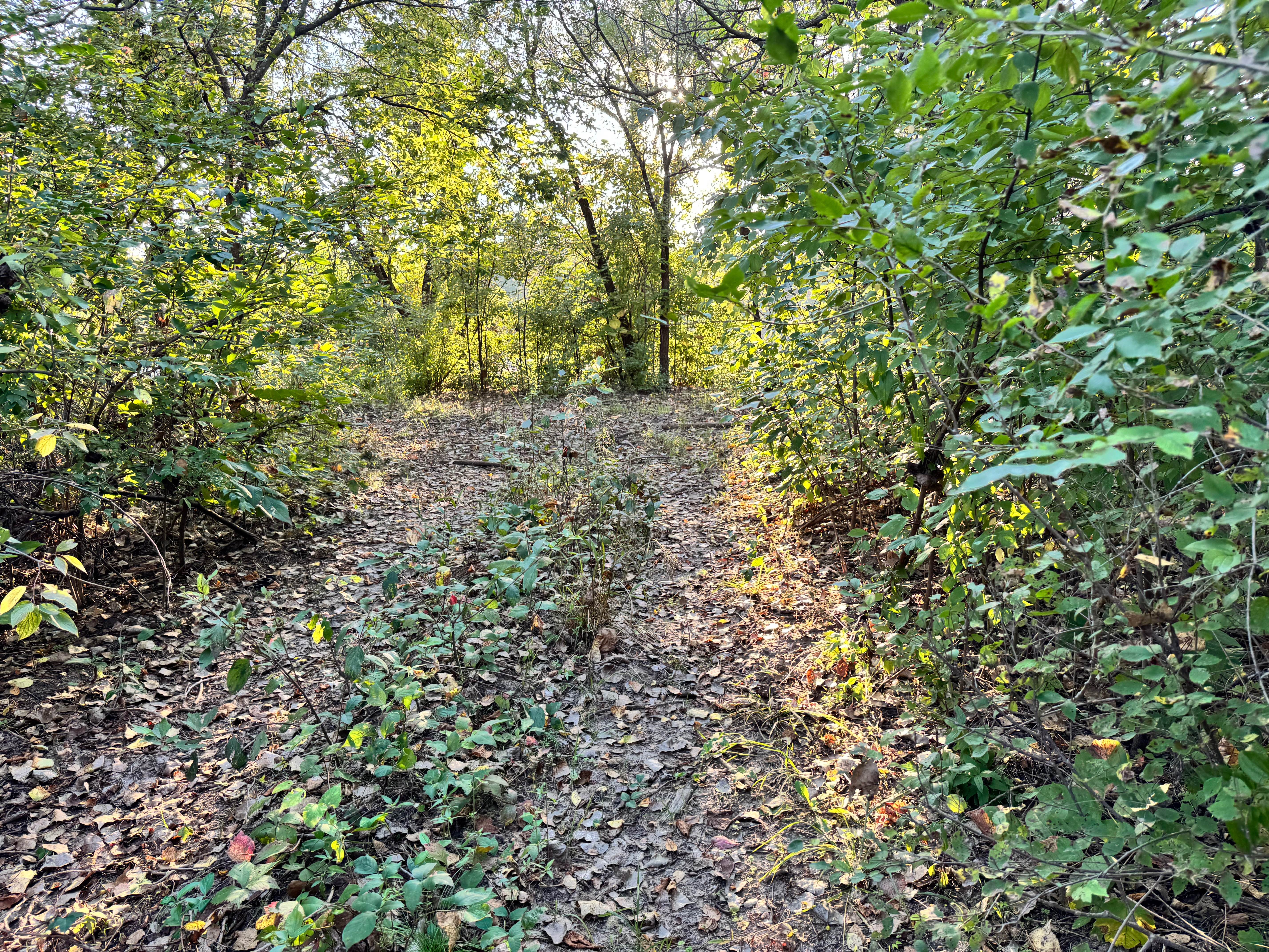
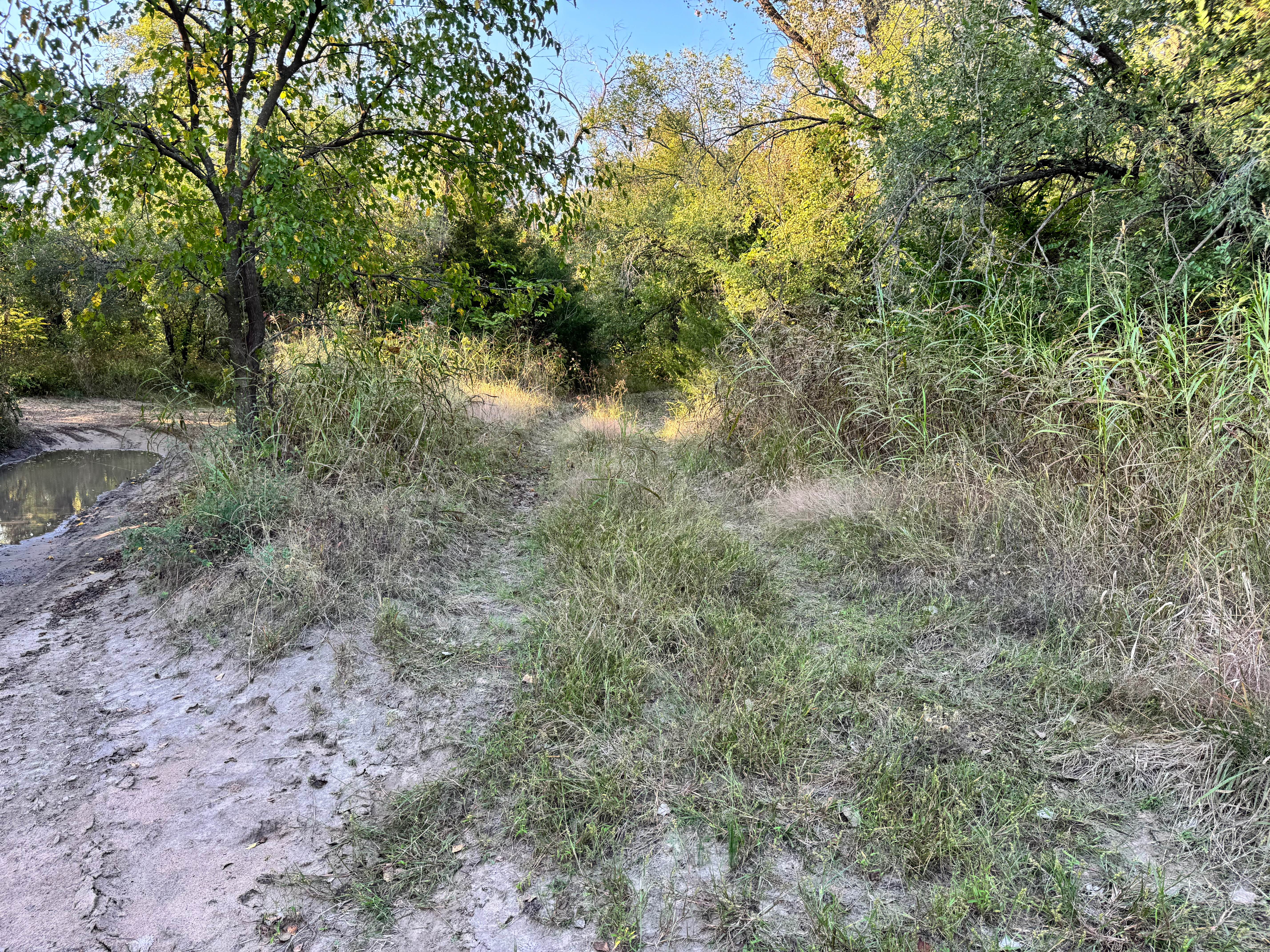
This trail leads directly down to the Arkansas River, ending at a sandbar that can offer scenic access, if conditions allow. However, drivers should pay close attention to river levels, as high water can quickly wash over the sandbar or change its shape overnight, making it unsafe or unusable. The approach is straightforward, but the trail itself is lined with noticeable overgrowth on both sides. Branches and brush may lean into the path, creating the possibility of light scratches or pinstriping, especially on wider vehicles or those with fresh paint. While there are no major obstacles along the route, caution and awareness are essential near the river's edge. This trail is best approached slowly, with a visual check of the sandbar before committing to the descent.
Photos of Test Bench Run
Difficulty
This trail is generally easy, but caution is needed due to overgrowth and changing river conditions. Light pinstriping is possible, and the sandbar's accessibility can vary with water levels. Suitable for most 4x4s with attentive driving near the river's edge.
History
This park was formerly known as Sandy Bottoms, and longtime visitors may still refer to it by that name. The access road and staging area have evolved over time, but it remains a well-known local spot for off-road events and community rides.
Status Reports
Test Bench Run can be accessed by the following ride types:
- High-Clearance 4x4
- SUV
- SxS (60")
Test Bench Run Map
Popular Trails

Chicken Run
Wagon Trail
Crankshaft Crack

April Showers
The onX Offroad Difference
onX Offroad combines trail photos, descriptions, difficulty ratings, width restrictions, seasonality, and more in a user-friendly interface. Available on all devices, with offline access and full compatibility with CarPlay and Android Auto. Discover what you’re missing today!