Shade Tree Lane
Total Miles
0.0
Technical Rating
Best Time
Spring, Summer, Fall
Trail Type
Full-Width Road
Accessible By
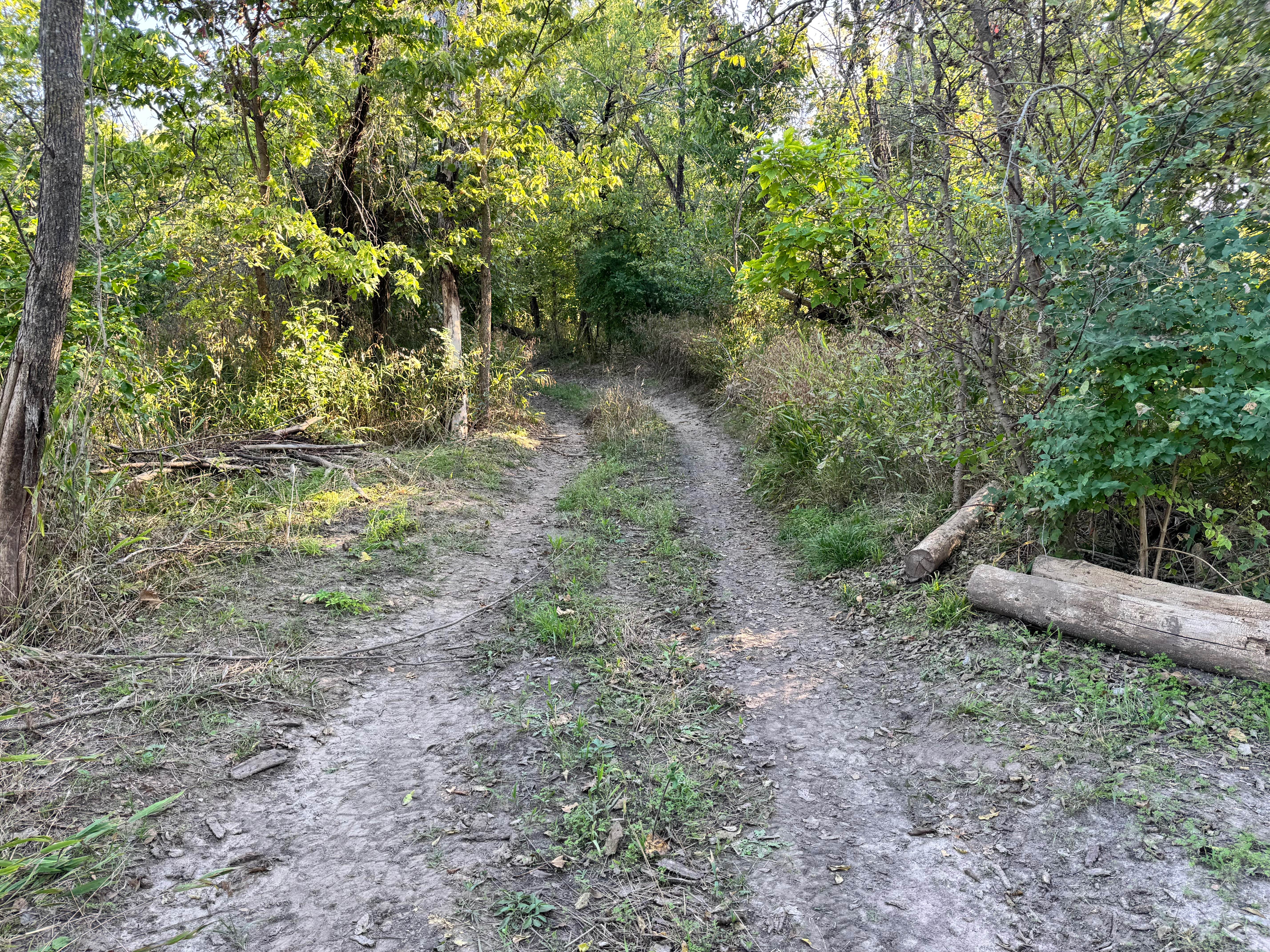
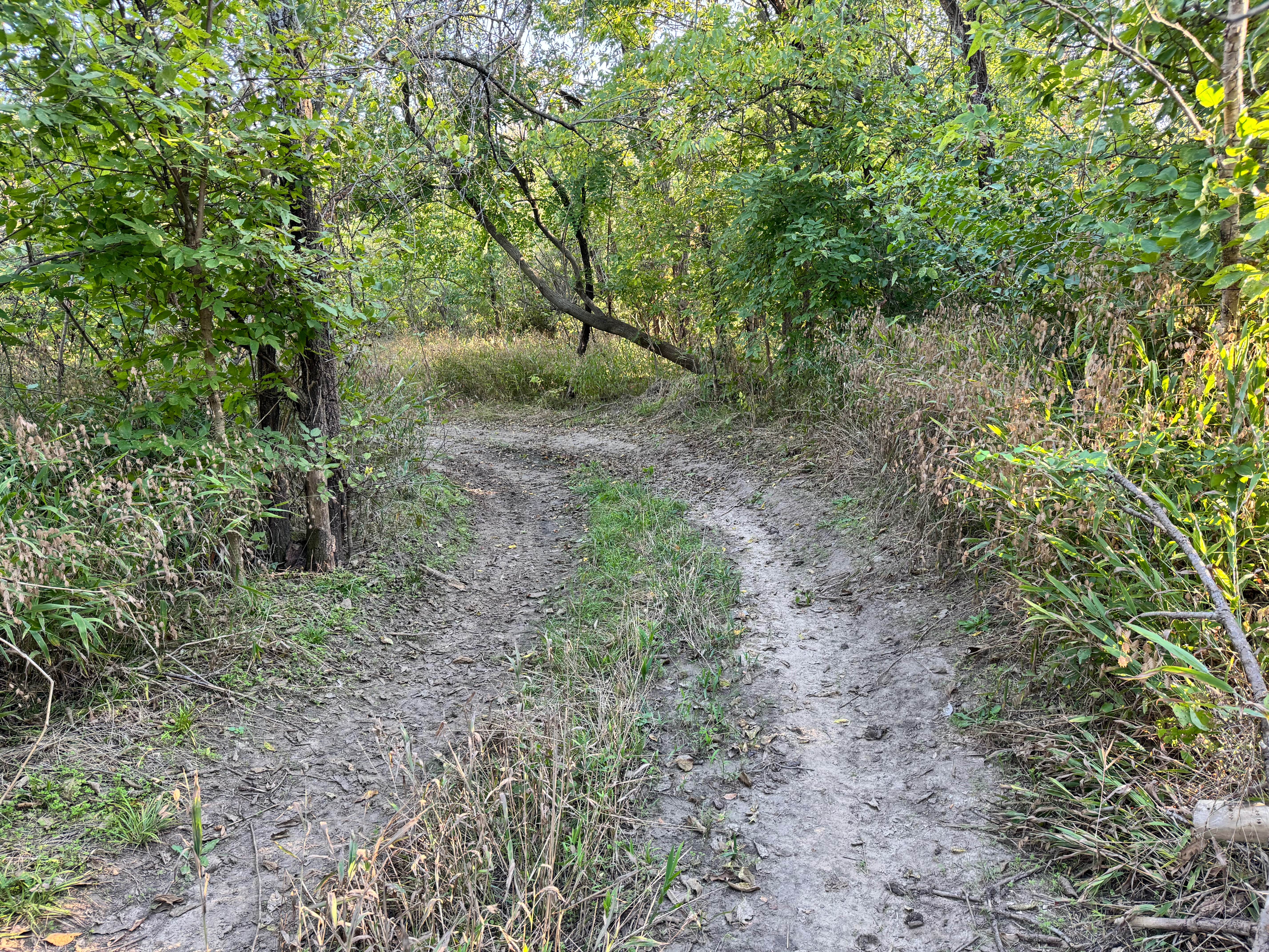
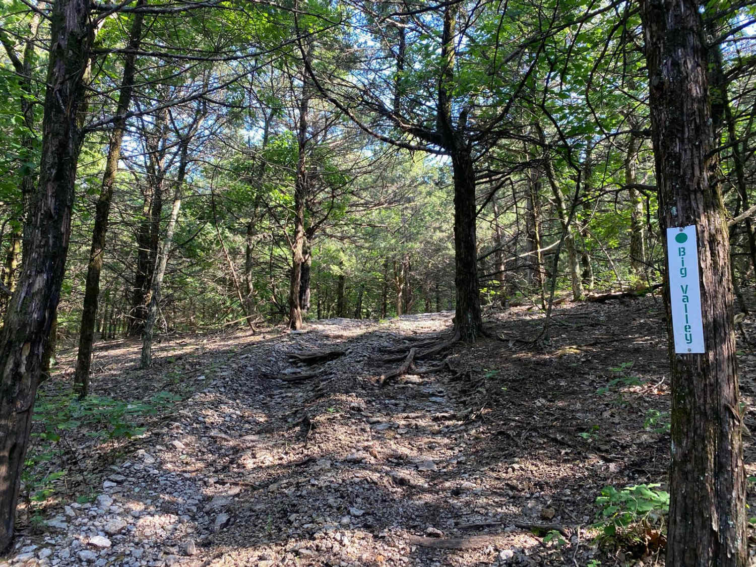
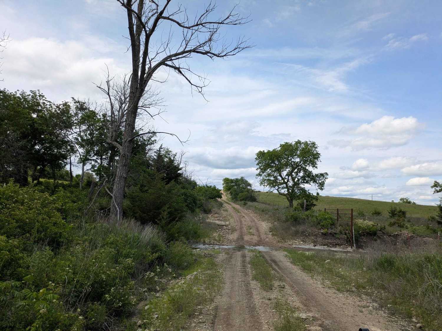
Trail Overview
This trail is straightforward but requires a bit of attention, especially where it narrows. As seen in the photos, the path winds through low tree limbs, with sections where branches lean into the trail, making pinstriping likely for wider or taller vehicles. There's a sharp bend that can sneak up on you, so controlled speed and careful steering are recommended. The surface itself is mostly flat and solid, with no major ruts, rocks, or technical obstacles to worry about.
Photos of Shade Tree Lane
Difficulty
This trail is very easy overall, with no technical obstacles or challenging terrain. The only minor considerations are the sharp turn and overgrown brush, which may cause light pinstriping if you're not cautious. Traction is solid, and the path remains accessible for all vehicles.
History
This park was formerly known as Sandy Bottoms, and longtime visitors may still refer to it by that name. The access road and staging area have evolved over time, but it remains a well-known local spot for off-road events and community rides.
Status Reports
Shade Tree Lane can be accessed by the following ride types:
- High-Clearance 4x4
- SUV
- SxS (60")
Shade Tree Lane Map
Popular Trails

Meet at the Y
Southeast Wiedemann
Shade Tree Lane
The onX Offroad Difference
onX Offroad combines trail photos, descriptions, difficulty ratings, width restrictions, seasonality, and more in a user-friendly interface. Available on all devices, with offline access and full compatibility with CarPlay and Android Auto. Discover what you’re missing today!