Road 5a
Total Miles
3.7
Technical Rating
Best Time
Spring, Summer, Fall, Winter
Trail Type
Full-Width Road
Accessible By
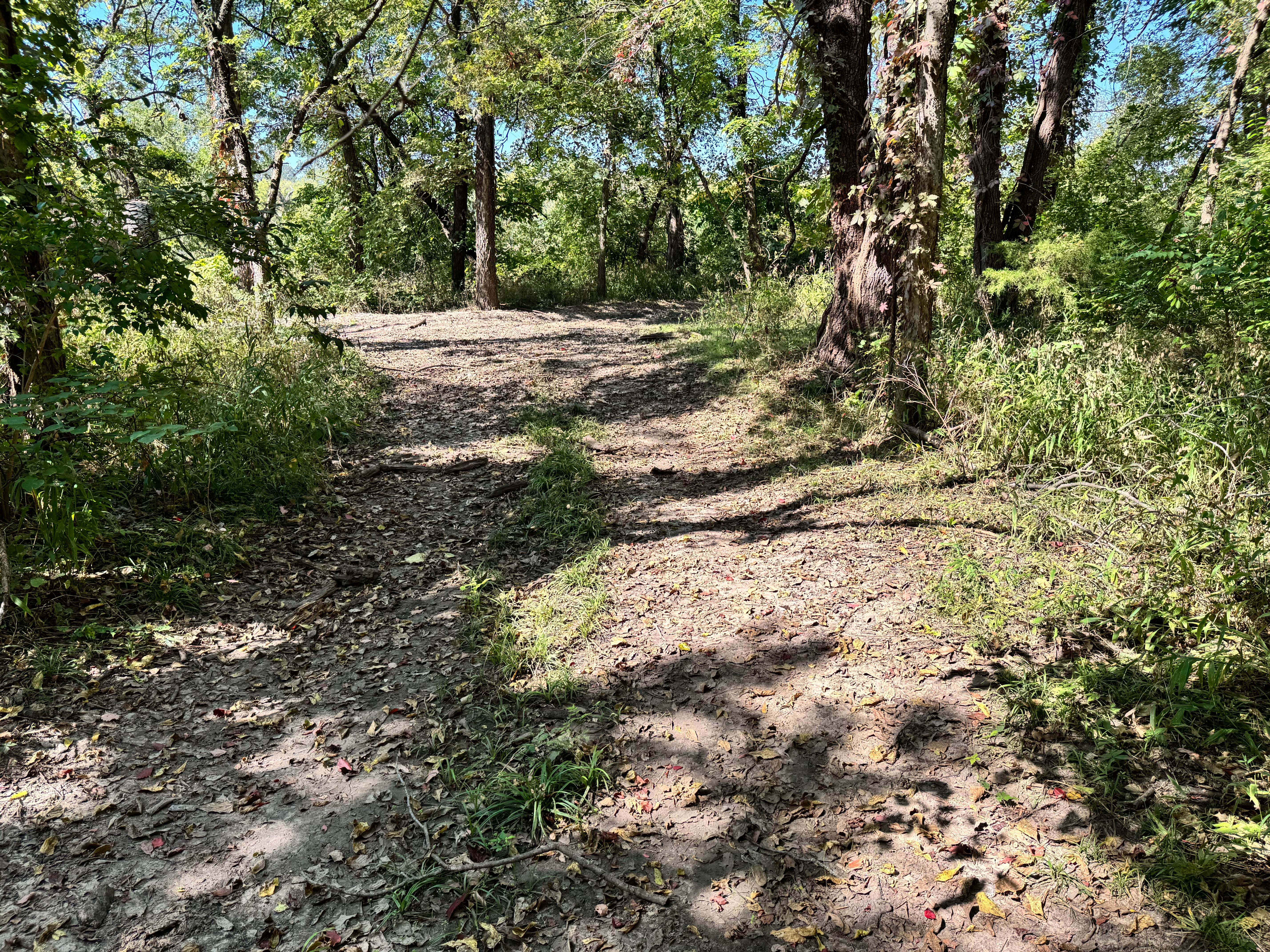
Trail Overview
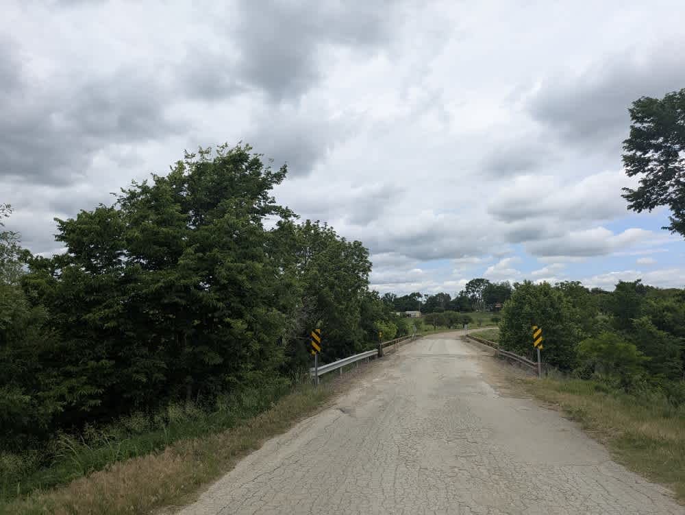
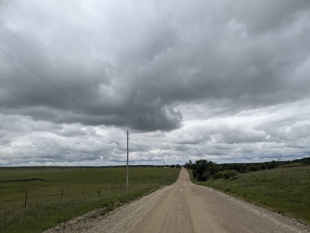
The road rolls out as a fairly well-kept ribbon of gravel, but the steady traffic of ranch trucks has carved in corrugations and pocked it with potholes, so expect a bit of shake and rattle. A fine layer of dust hangs behind each vehicle as the route threads past a mix of weather-beaten homesteads and shiny new barns in open cattle country. There is nowhere to camp and no bins or water taps along the way, and cell coverage fades in and out, so keep your OnX map handy whenever a signal sneaks through.
Photos of Road 5a

Difficulty
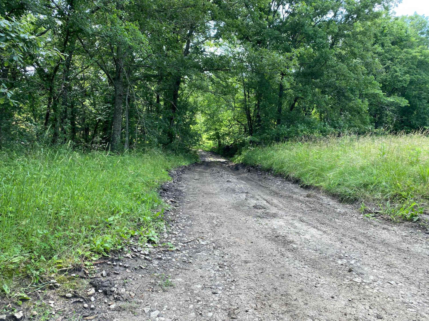
This road consists primarily of well-maintained county gravel roads and rural connectors running through the eastern edge of the Flint Hills. Roads are graded regularly, wide enough for two vehicles to pass, and suitable for all high-clearance vehicles and most passenger vehicles in dry conditions.
History
This route traces the historic heartland of the Flint Hills, a region that has remained largely untouched by modern agriculture due to its shallow, rocky soils--making it one of the last strongholds of North America's tallgrass prairie. The trails crosses land with deep cultural roots--from Native American hunting grounds to working cattle ranches. Expect long views over tallgrass prairie, passing ghost towns, century-old barns, and scenic byways that have carried generations of ranchers and travelers alike.
Status Reports
Road 5a can be accessed by the following ride types:
- High-Clearance 4x4
- SUV
Road 5a Map
Popular Trails

Bear Trks
Willys Whoops
County Road 31
West Bottoms
The onX Offroad Difference
onX Offroad combines trail photos, descriptions, difficulty ratings, width restrictions, seasonality, and more in a user-friendly interface. Available on all devices, with offline access and full compatibility with CarPlay and Android Auto. Discover what you’re missing today!