Road 2
Total Miles
13.5
Technical Rating
Best Time
Summer, Fall, Winter, Spring
Trail Type
Full-Width Road
Accessible By
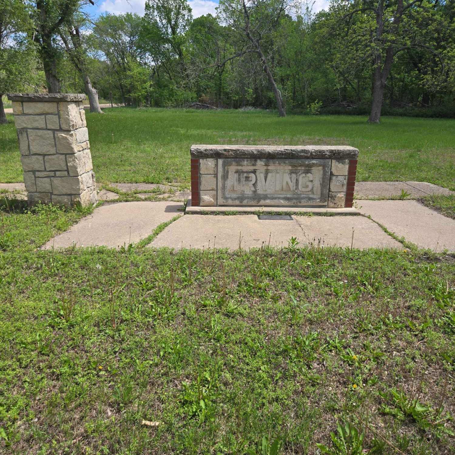
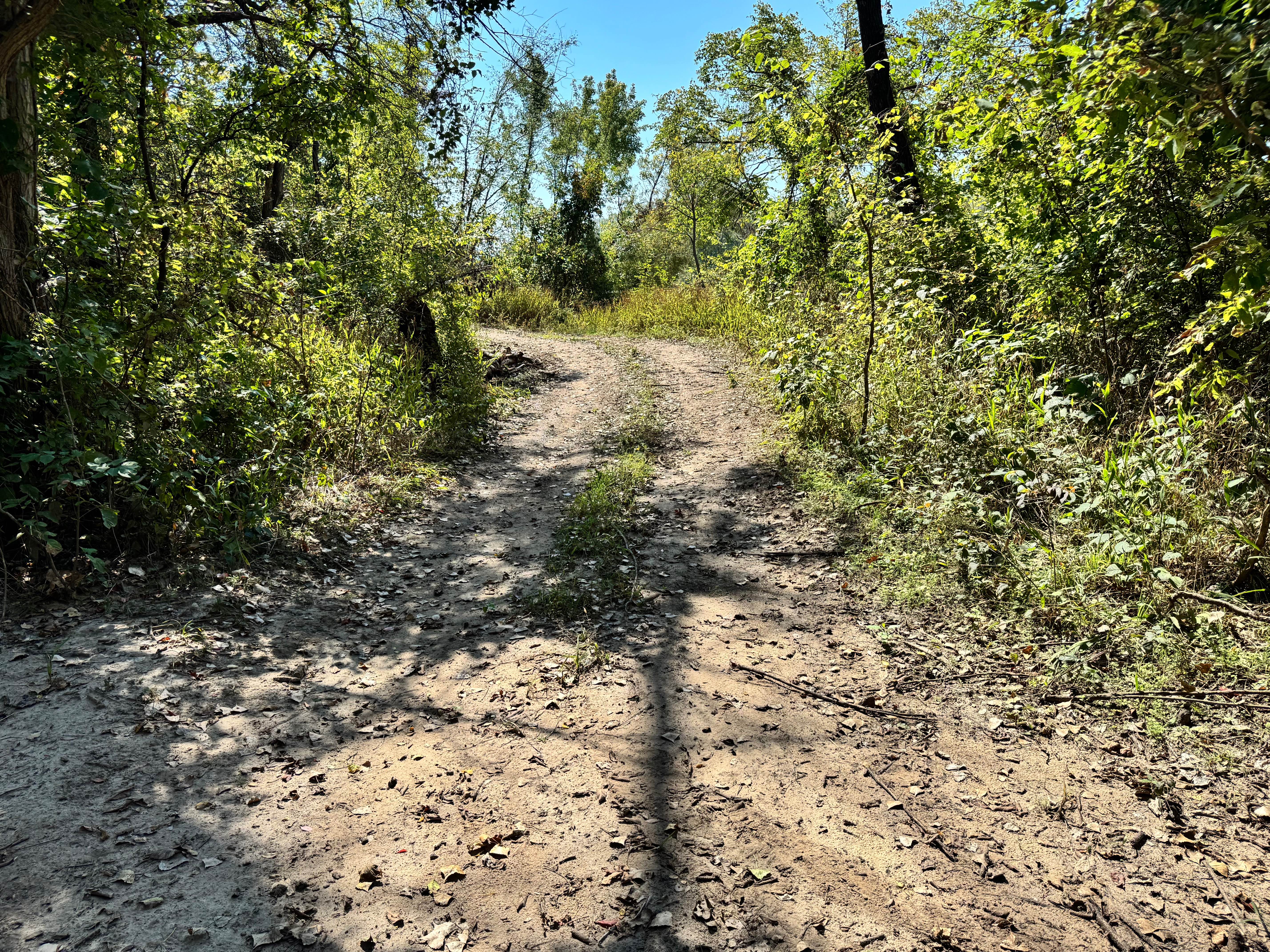
Trail Overview
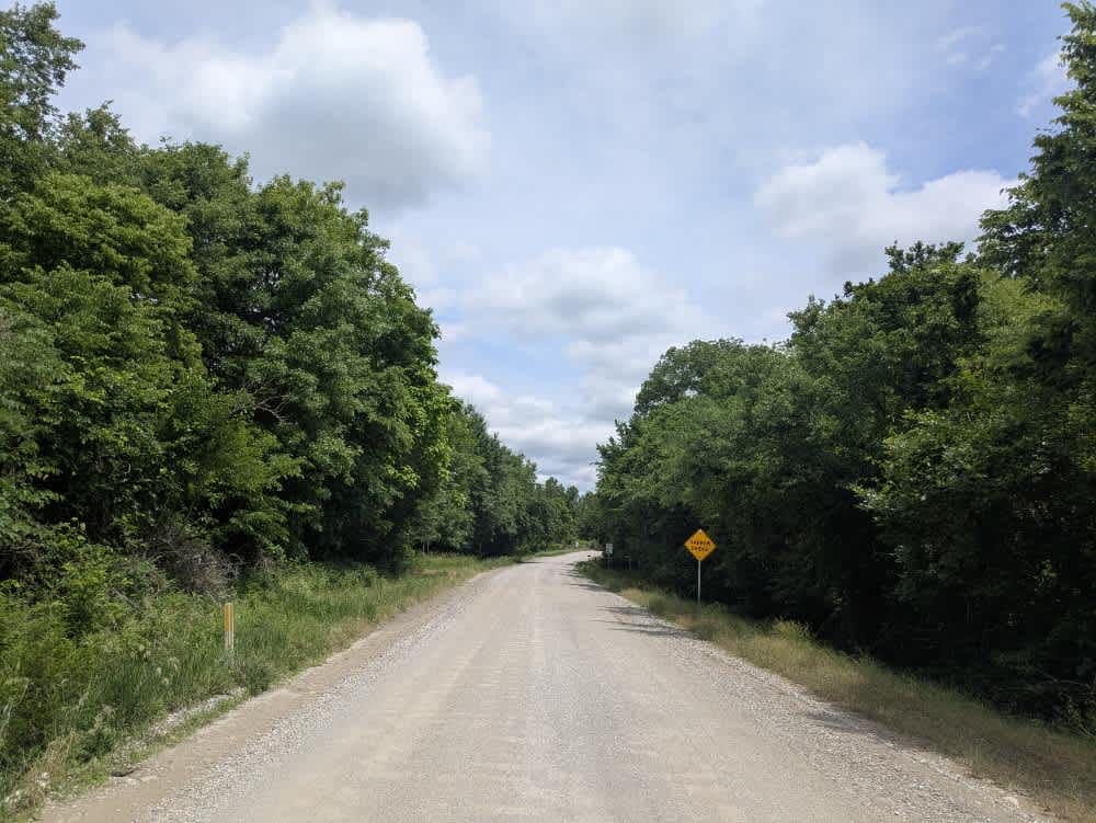
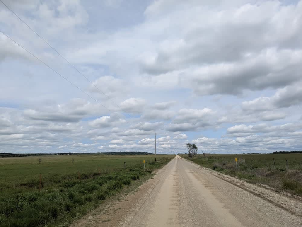
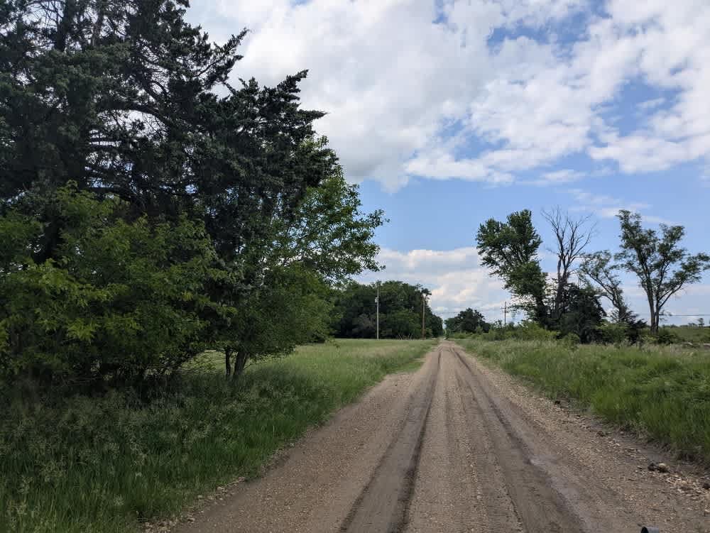
The drive begins on well-graded gravel that rolls smoothly beneath the tires, but short stretches of loose rock and washboard keep you from switching off entirely. A sturdy bridge carries you over a small creek before the road drifts through an open cattle country, with low fences and green grassland stretching to the horizon. Camping isn't really an option--there are no pull-outs, bins, or water taps anywhere along the way-- cell reception is varied.
Photos of Road 2
Difficulty
This road consists primarily of well-maintained county gravel roads and rural connectors running through the eastern edge of the Flint Hills. Roads are graded regularly, wide enough for two vehicles to pass, and suitable for all high-clearance vehicles and most passenger vehicles in dry conditions.
History
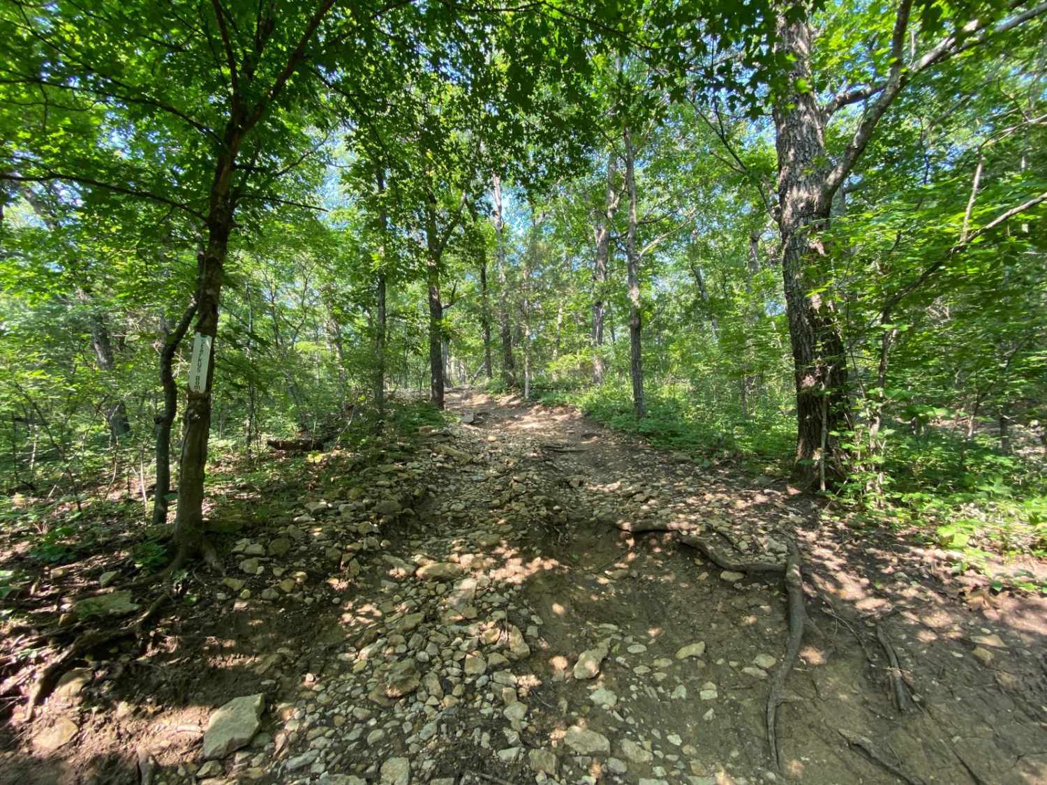
This route traces the historic heartland of the Flint Hills, a region that has remained largely untouched by modern agriculture due to its shallow, rocky soils--making it one of the last strongholds of North America's tallgrass prairie. The trail crosses land with deep cultural roots--from Native American hunting grounds to working cattle ranches. Expect long views over tallgrass prairie, passing ghost towns, century-old barns, and scenic byways that have carried generations of ranchers and travelers alike.
Status Reports
Road 2 can be accessed by the following ride types:
- High-Clearance 4x4
- SUV
Road 2 Map
Popular Trails
Starky's Bomb
South 150 Road
Big Blue River Route
Humvee Dumpty
The onX Offroad Difference
onX Offroad combines trail photos, descriptions, difficulty ratings, width restrictions, seasonality, and more in a user-friendly interface. Available on all devices, with offline access and full compatibility with CarPlay and Android Auto. Discover what you’re missing today!