Redneck Express
Total Miles
0.0
Technical Rating
Best Time
Spring, Summer, Fall
Trail Type
Full-Width Road
Accessible By
Trail Overview
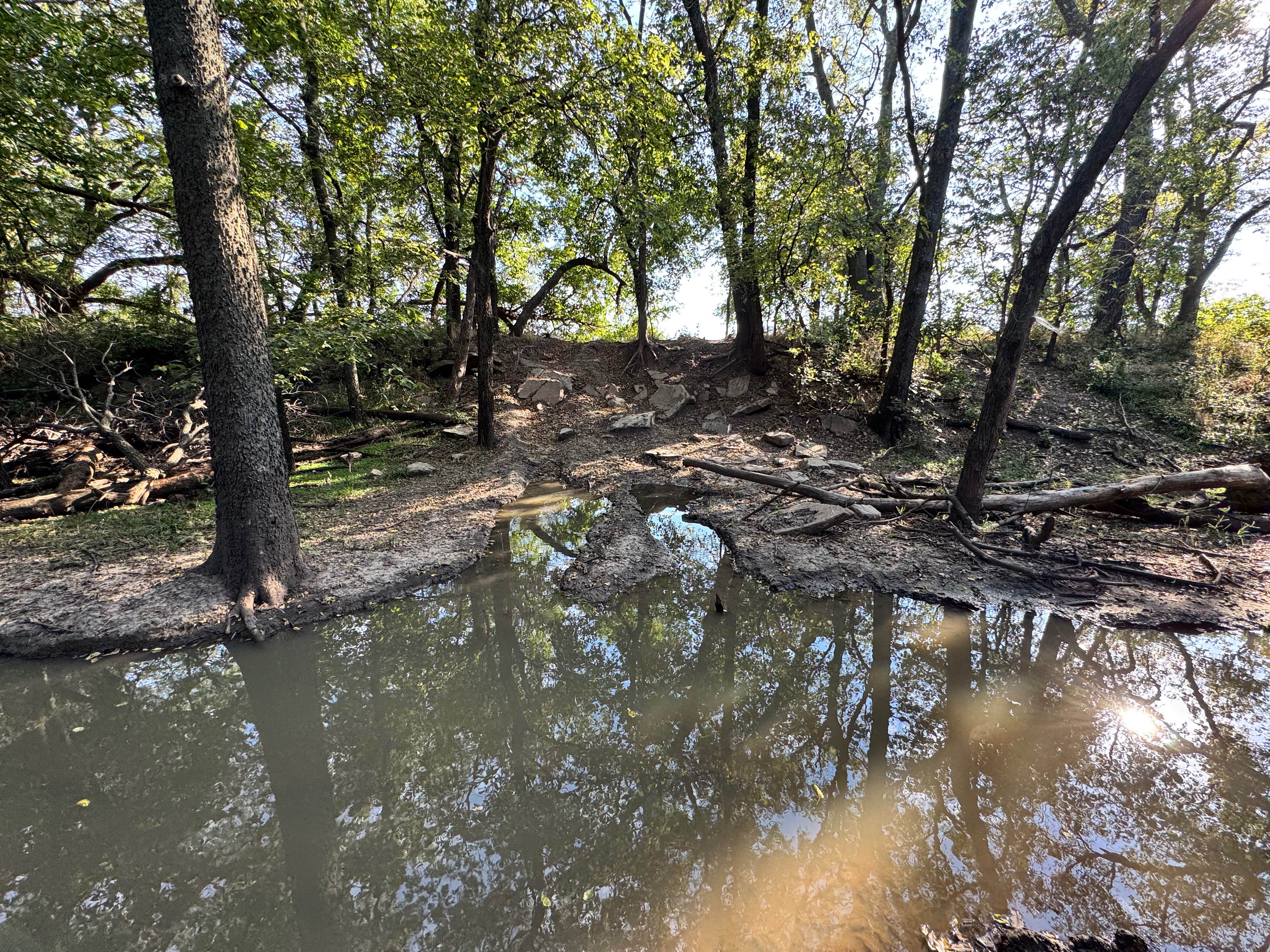
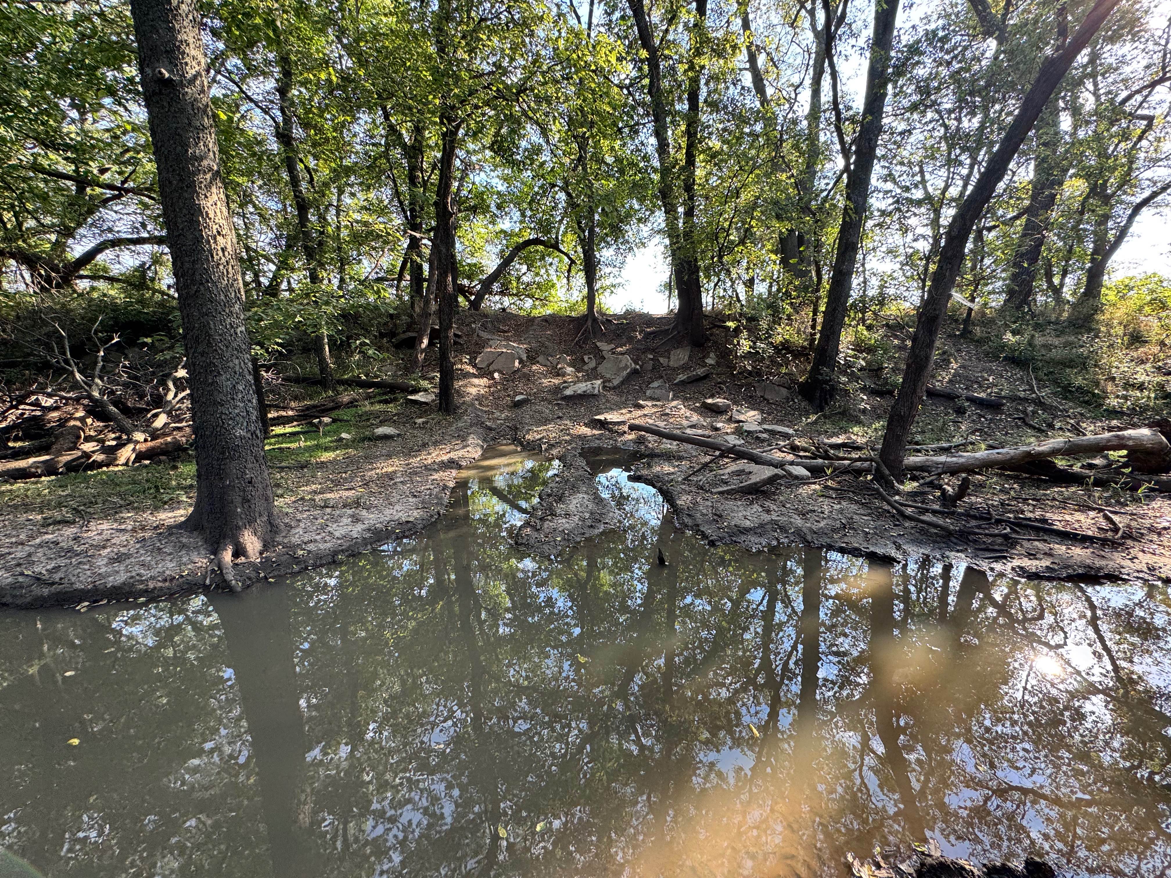
This trail features a challenging hill climb with prominent rock obstacles, offering two parallel lines to choose from. Each route presents its own difficulty, with one being noticeably narrower and requiring more precise tire placement. Both climbs include rock ledges reaching up to one foot in height, requiring ground clearance and careful throttle control to avoid undercarriage contact and potentially hitting trees that line the trail. As this trail connects directly into the mud hole of Champlin's Challenge, traction can become an additional concern, especially when mud from the lower section is carried onto the rocks. Drivers attempting this climb should be prepared for wheel spin, potential diff hang-ups, and the need for momentum or locking differentials.
Photos of Redneck Express
Difficulty
This trail is challenging due to its rocky hill climbs, narrow line options, and rock obstacles up to a foot tall. Combined with traction loss from mud at the bottom, careful tire placement is key to avoid potential body damage.
History
This park was formerly known as Sandy Bottoms, and longtime visitors may still refer to it by that name. The access road and staging area have evolved over time, but it remains a well-known local spot for off-road events and community rides.
Status Reports
Redneck Express can be accessed by the following ride types:
- High-Clearance 4x4
- SUV
- SxS (60")
Redneck Express Map
Popular Trails
Old Highway 50

Ho Hummer


Bronco Buster
The onX Offroad Difference
onX Offroad combines trail photos, descriptions, difficulty ratings, width restrictions, seasonality, and more in a user-friendly interface. Available on all devices, with offline access and full compatibility with CarPlay and Android Auto. Discover what you’re missing today!