Power Stroke Pass
Total Miles
0.1
Technical Rating
Best Time
Spring, Summer, Fall
Trail Type
Full-Width Road
Accessible By
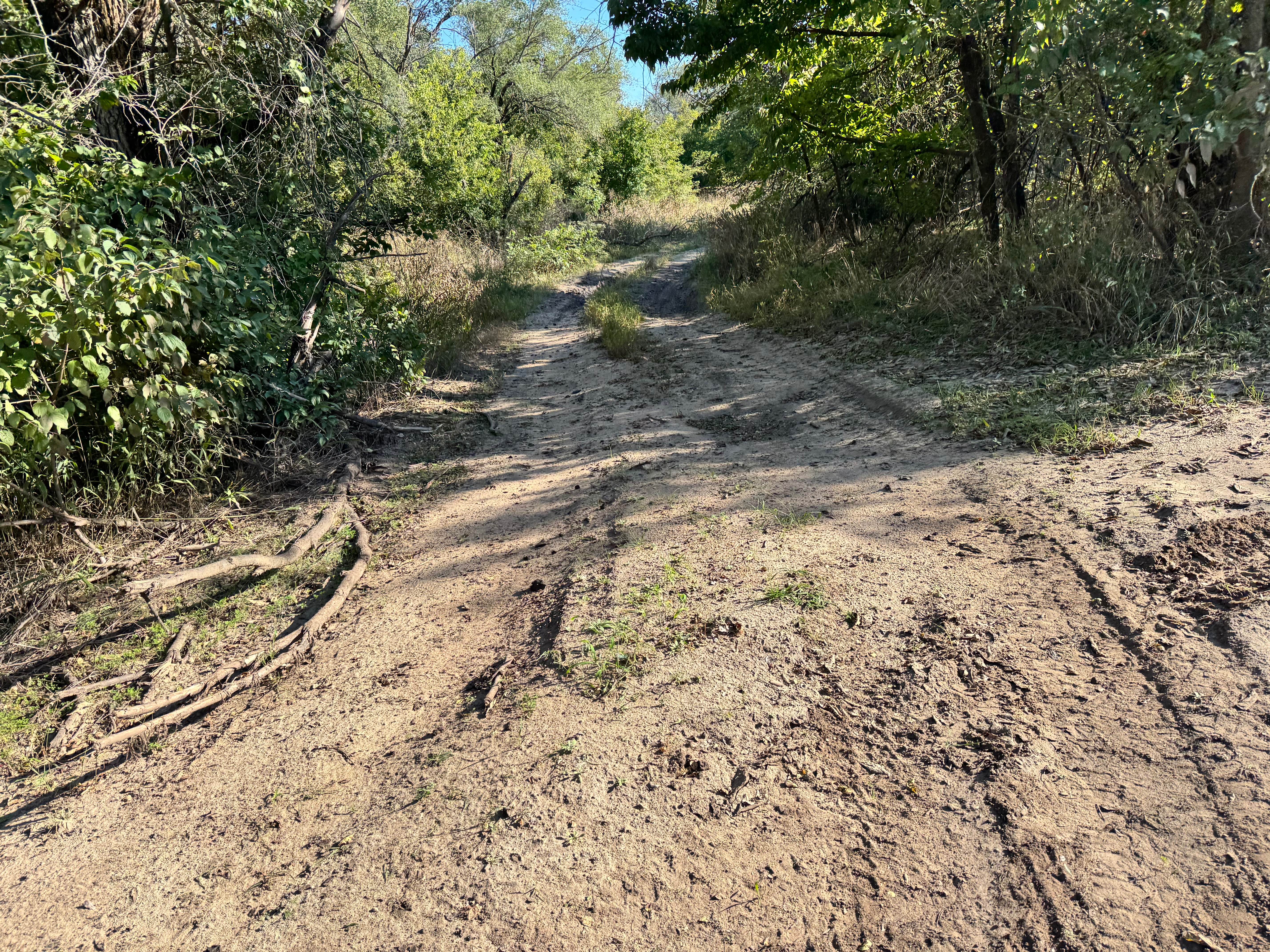
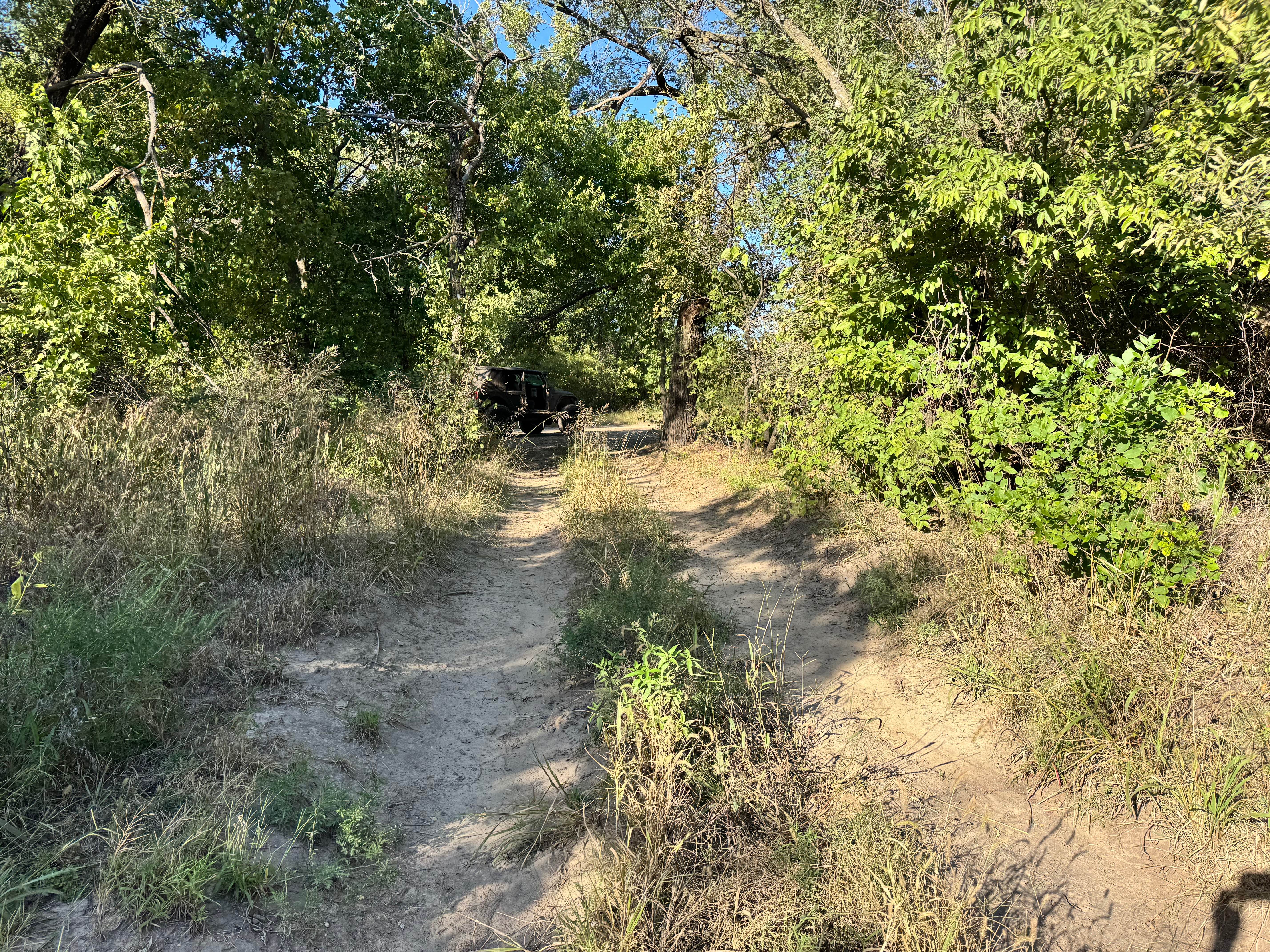
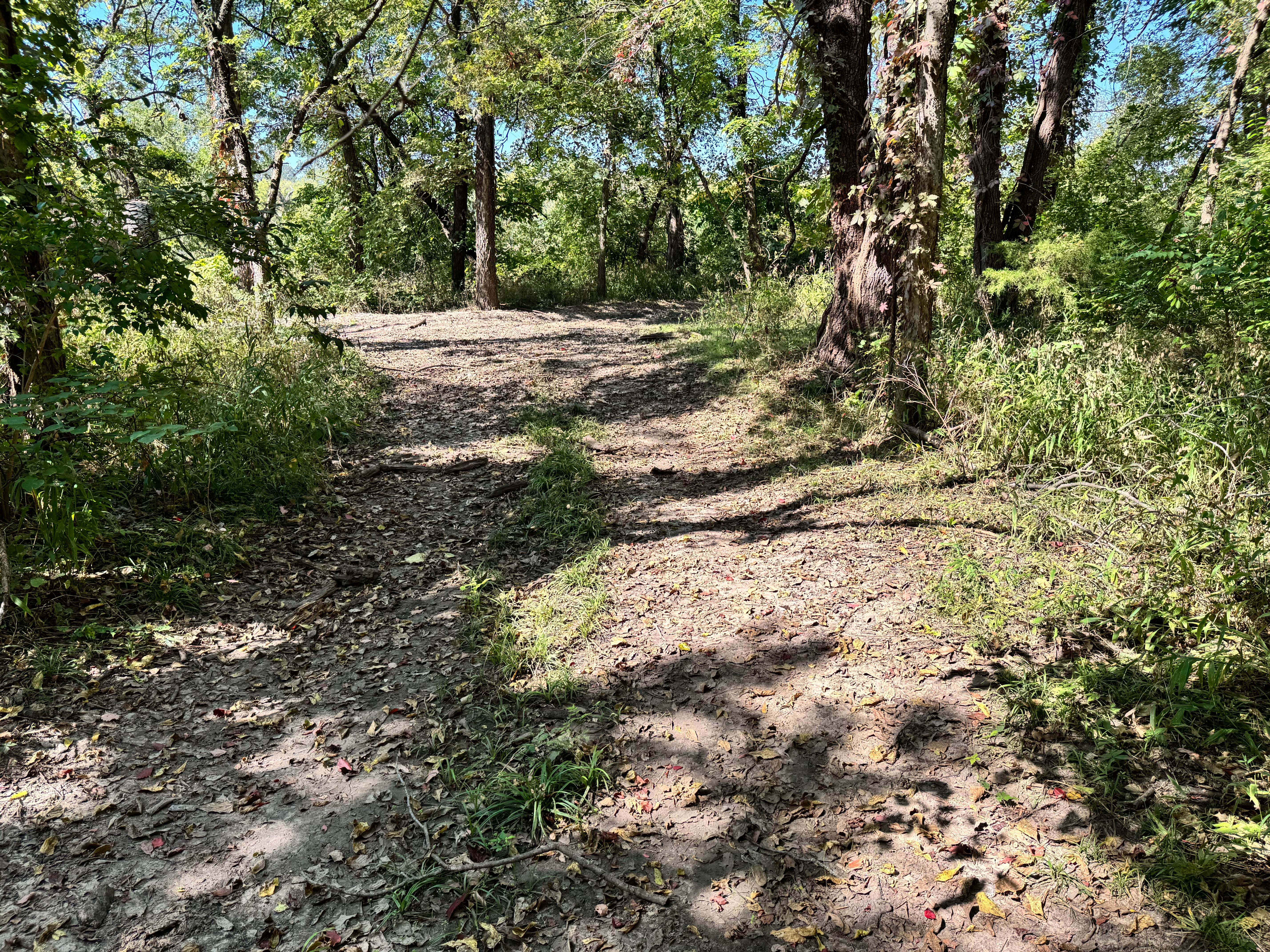
Trail Overview
This trail winds gently through a mix of prairie grass and lightly wooded sections, creating a peaceful and easygoing route. You'll notice it zigzags between trees and open stretches, with portions of the path narrowed by grass and light overgrowth, though nothing too restrictive. There are a few rutted areas and scattered branches, but no serious obstacles to navigate. The terrain remains mostly flat with occasional shallow dips and soft soil, especially where past vehicles have left tracks. Visibility through the trees is decent, and the trail stays fairly straightforward without any sharp climbs or tight pinches. Overall, it's a relaxed path suitable for drivers looking for a calm, scenic cruise rather than a technical challenge.
Photos of Power Stroke Pass
Difficulty
This trail is very mild and well within the easy category. While there are light ruts and some overgrown grass along sections, there are no technical obstacles, steep climbs, or tight squeezes to worry about. The terrain stays mostly flat and predictable, making it manageable for stock vehicles and newer drivers. Occasional branches or brush may brush against the sides, but nothing that poses a real challenge. Overall, this route is ideal for a relaxed, scenic drive with minimal risk.
History
This park was formerly known as Sandy Bottoms, and longtime visitors may still refer to it by that name. The access road and staging area have evolved over time, but it remains a well-known local spot for off-road events and community rides.
Status Reports
Power Stroke Pass can be accessed by the following ride types:
- High-Clearance 4x4
- SUV
- SxS (60")
Power Stroke Pass Map
Popular Trails

Ho Hummer
Willys Whoops

Alan's Alley
Bent Tree
The onX Offroad Difference
onX Offroad combines trail photos, descriptions, difficulty ratings, width restrictions, seasonality, and more in a user-friendly interface. Available on all devices, with offline access and full compatibility with CarPlay and Android Auto. Discover what you’re missing today!