H Road
Total Miles
5.0
Technical Rating
Best Time
Spring, Fall, Winter, Summer
Trail Type
Full-Width Road
Accessible By
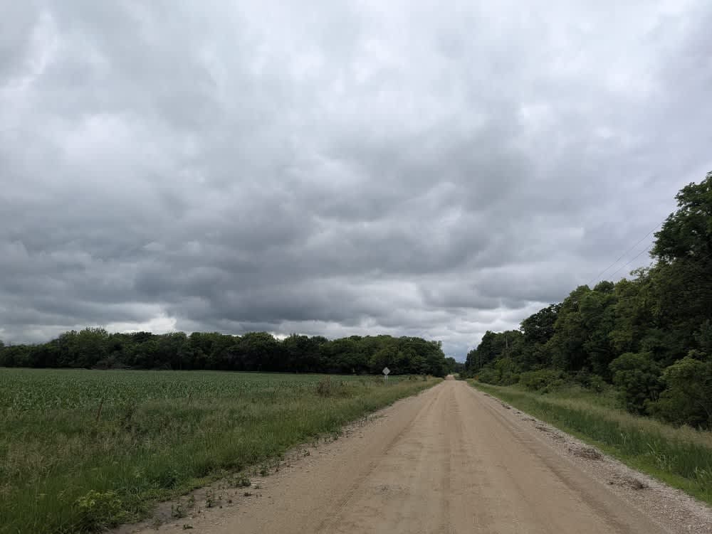
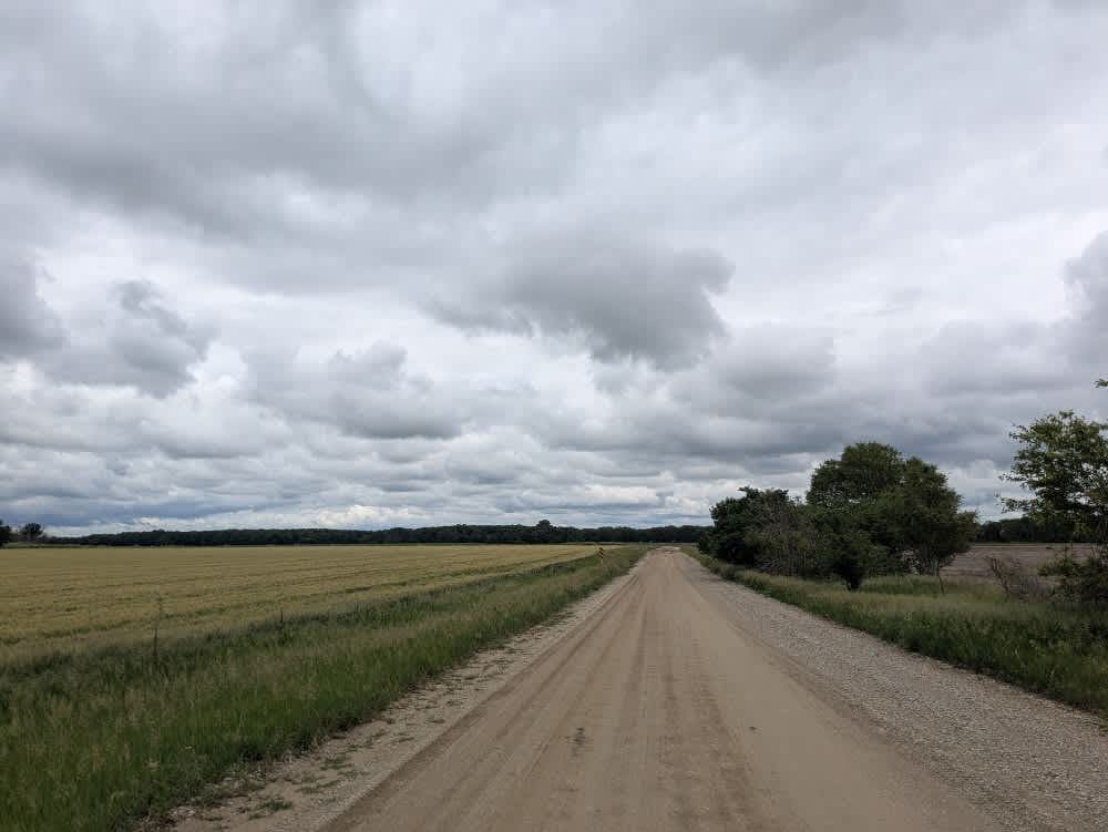
Trail Overview
This gravel backroad stays in decent shape for most of the year, though it ripples with light corrugations and hides the occasional pothole. Late-May rains turn stretches slick and muddy, so four-wheel drive is handy if you want to keep the pace playful. The route threads past a handful of rural homesteads, so ease off the throttle near gates and driveways. You will not find established campsites, picnic tables, or trash cans along the way, and fresh water is scarce. Cell reception fades in and out, so check your onX coverage before committing.
Photos of H Road
Difficulty
The trail is well-maintained and routinely graded to support a range of local use, from daily agricultural traffic by farmers to occasional travelers and outdoor enthusiasts passing through the area. Its good condition makes it easily accessible and reliable for all types of vehicles.
History
This route traces the historic heartland of the Flint Hills, a region that has remained largely untouched by modern agriculture due to its shallow, rocky soils--making it one of the last strongholds of North America's tallgrass prairie. The trails crosses land with deep cultural roots--from Native American hunting grounds to working cattle ranches. Expect long views over tallgrass prairie, passing ghost towns, century-old barns, and scenic byways that have carried generations of ranchers and travelers alike.
Status Reports
H Road can be accessed by the following ride types:
- High-Clearance 4x4
- SUV
H Road Map
Popular Trails

No Name Green

Carnage Canyon

Eric's Exit
The onX Offroad Difference
onX Offroad combines trail photos, descriptions, difficulty ratings, width restrictions, seasonality, and more in a user-friendly interface. Available on all devices, with offline access and full compatibility with CarPlay and Android Auto. Discover what you’re missing today!