Cummins Crossing
Total Miles
0.0
Technical Rating
Best Time
Spring, Summer, Fall
Trail Type
Full-Width Road
Accessible By
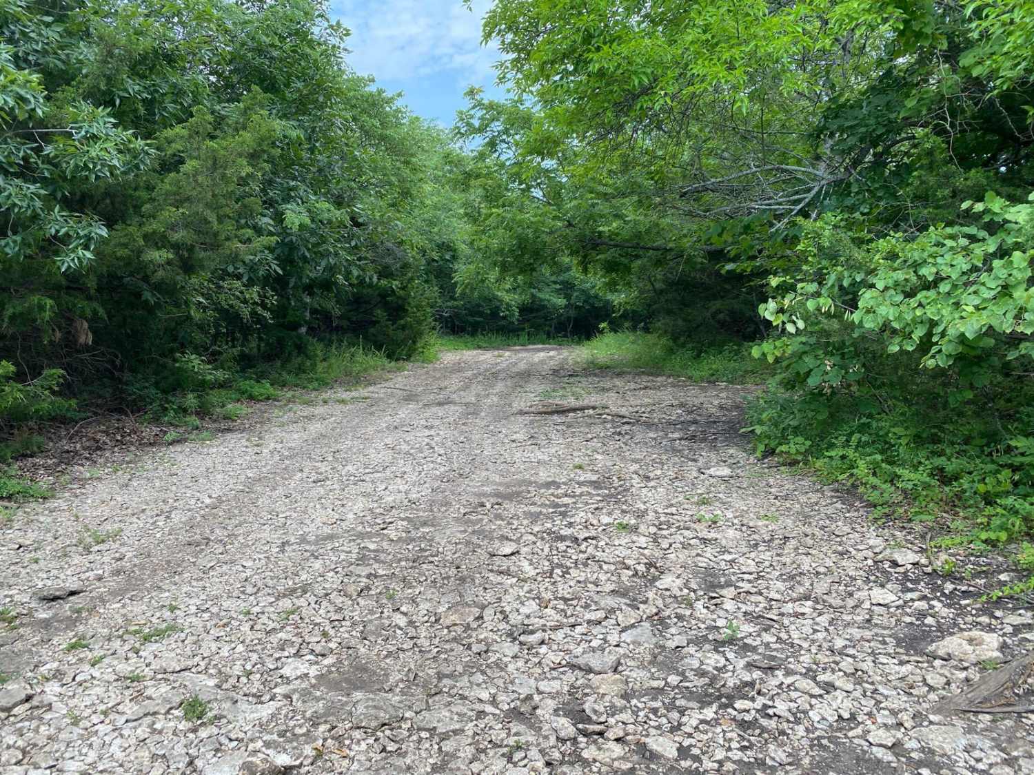
Trail Overview
This trail winds gently through a wooded area, offering a relaxed ride with just a touch of challenge. In a few sections, the terrain tilts slightly off-camber, which may require a bit of attention to line choice, especially for wider vehicles. The path is narrow in places and has noticeable overgrowth, so pinstriping from branches and brush is possible. The ground is mostly firm dirt with light leaf cover, and there are no major obstacles or technical features to contend with. This is a great connecting trail or an easy scenic route, ideal for a calm drive through the trees with minimal difficulty.
Photos of Cummins Crossing
Difficulty
This trail is very easy overall, with only mild off-camber sections and some overgrowth to consider. There are no significant obstacles, climbs, or technical challenges. Aside from potential pinstriping from the brush, most vehicles with basic clearance can pass through comfortably. This is a beginner-friendly route suitable for a relaxed and scenic ride.
History
This park was formerly known as Sandy Bottoms, and longtime visitors may still refer to it by that name. The access road and staging area have evolved over time, but it remains a well-known local spot for off-road events and community rides.
Status Reports
Cummins Crossing can be accessed by the following ride types:
- High-Clearance 4x4
- SUV
- SxS (60")
Cummins Crossing Map
Popular Trails
Downpipe Drive
Chads Noggin Nocker

Brush Dinger
Hangman's Haunt
The onX Offroad Difference
onX Offroad combines trail photos, descriptions, difficulty ratings, width restrictions, seasonality, and more in a user-friendly interface. Available on all devices, with offline access and full compatibility with CarPlay and Android Auto. Discover what you’re missing today!