Cummins Corner
Total Miles
0.1
Technical Rating
Best Time
Spring, Summer, Fall
Trail Type
Full-Width Road
Accessible By
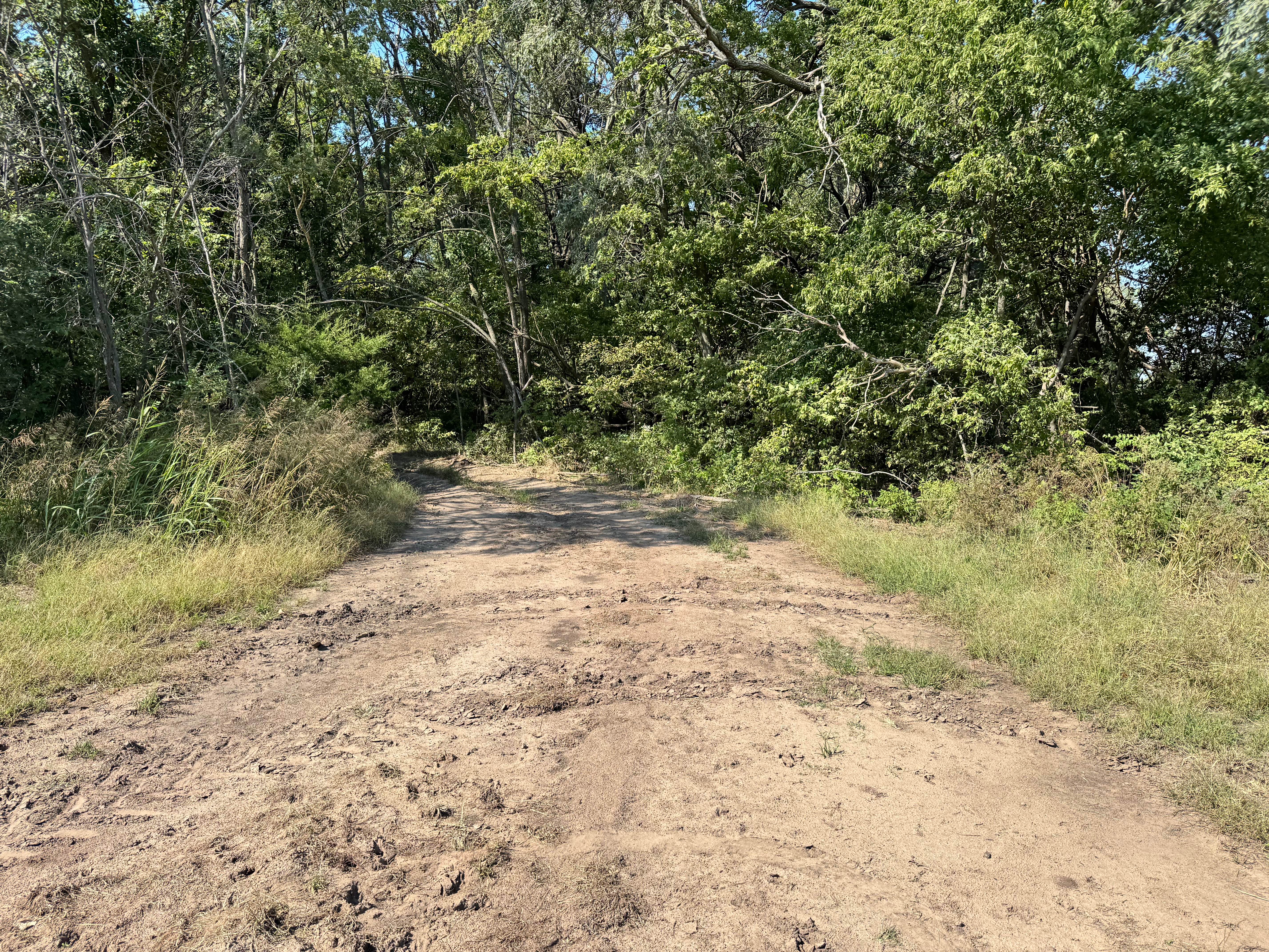
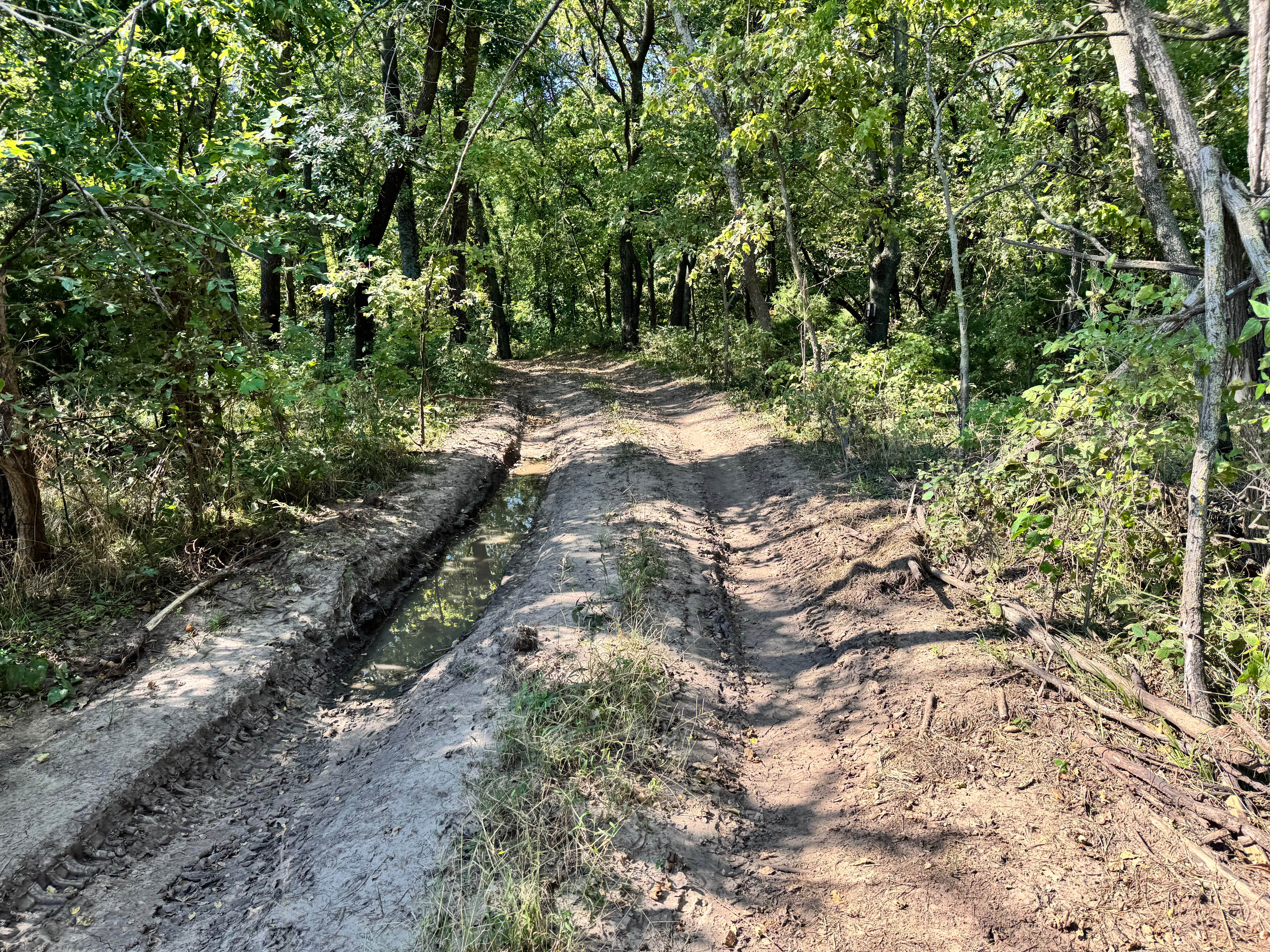
Trail Overview
This track features a mix of deep ruts and thick mud, making it a challenging route once you descend into the wooded section. The most demanding part of the trail is a large mud hole that requires serious wheel speed and horsepower to push through, especially when conditions are wet. The mud is heavy and can bog down even well-built rigs, so preparation and recovery gear are highly recommended. Despite its difficulty, this trail does connect to several easier routes on the other side, giving friends or recovery teams alternate access points if assistance is needed. It's a true test of power and momentum, ideal for those seeking a muddy challenge.
Photos of Cummins Corner
Difficulty
This trail is challenging due to deep ruts and a serious mud hole that demands horsepower, wheel speed, and recovery readiness. While it connects to easier trails for assistance, getting stuck is likely without a capable rig and experienced driver.
History
This park was formerly known as Sandy Bottoms, and longtime visitors may still refer to it by that name. The access road and staging area have evolved over time, but it remains a well-known local spot for off-road events and community rides.
Status Reports
Cummins Corner can be accessed by the following ride types:
- High-Clearance 4x4
- SUV
- SxS (60")
Cummins Corner Map
Popular Trails
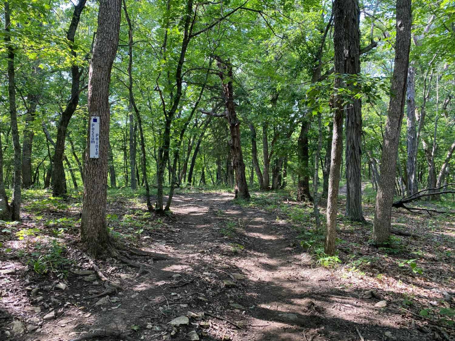
Possum Point

Spring Rattler

Latham Beaumont Road

No Name Black
The onX Offroad Difference
onX Offroad combines trail photos, descriptions, difficulty ratings, width restrictions, seasonality, and more in a user-friendly interface. Available on all devices, with offline access and full compatibility with CarPlay and Android Auto. Discover what you’re missing today!