Orange Trail
Total Miles
8.1
Technical Rating
Best Time
Spring, Summer, Fall
Trail Type
Full-Width Road
Accessible By
Trail Overview
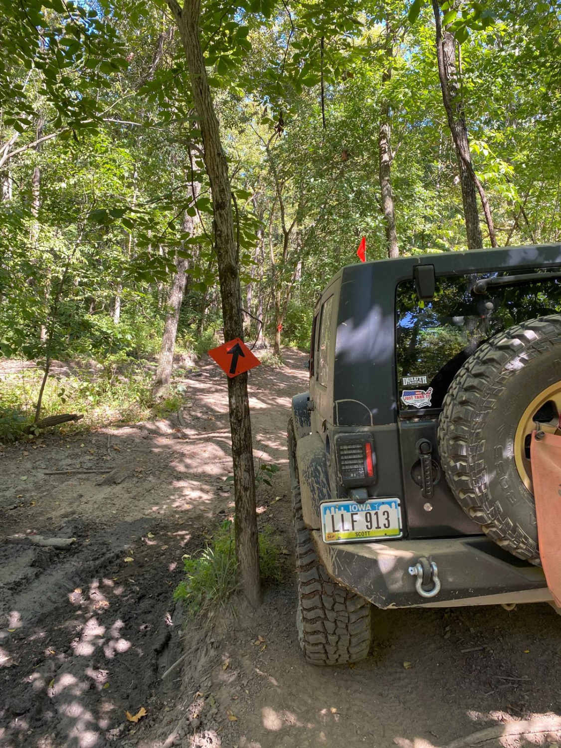
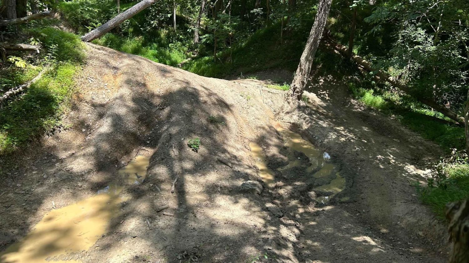
The Orange route starts somewhat easy and gains difficulty in the second half. Be aware that many places throughout the park, Orange, Red, Blue, and/or Yellow trails will intersect, overlap, and run side by side for short periods. Note that the orange signs look a lot like the red signs. Some of them have white arrows, and some have black arrows. This is the longest marked trail at the Badlands, and arguably one the least technical of them (except turtle trail). Expect to get some pinstriping from overgrown branches, and watch for tight areas around trees, hardtop/roof damage is very possible in some off-camber situations. You will encounter lots of hills, ruts, sand, dirt, mud, and rocks. The south end of the trail gets much tighter as you get close to the creek/tubes area. Stock 4x4's should be ok, but use caution in the muddy sections as some of them are not avoidable and can be quite deep after rain.
Photos of Orange Trail

Difficulty
This trail starts somewhat easy to moderate and gets more difficult in the second half. It has steep climbs, off-camber sections, very muddy sections, tight areas between trees, and some sandy and rocky areas. Some areas have bypasses, and some do not.
Status Reports
Orange Trail can be accessed by the following ride types:
- High-Clearance 4x4
- SUV
- SxS (60")
- ATV (50")
- Dirt Bike
Orange Trail Map
Popular Trails

The Serpentines


Trail 2C(intermediate)
The onX Offroad Difference
onX Offroad combines trail photos, descriptions, difficulty ratings, width restrictions, seasonality, and more in a user-friendly interface. Available on all devices, with offline access and full compatibility with CarPlay and Android Auto. Discover what you’re missing today!