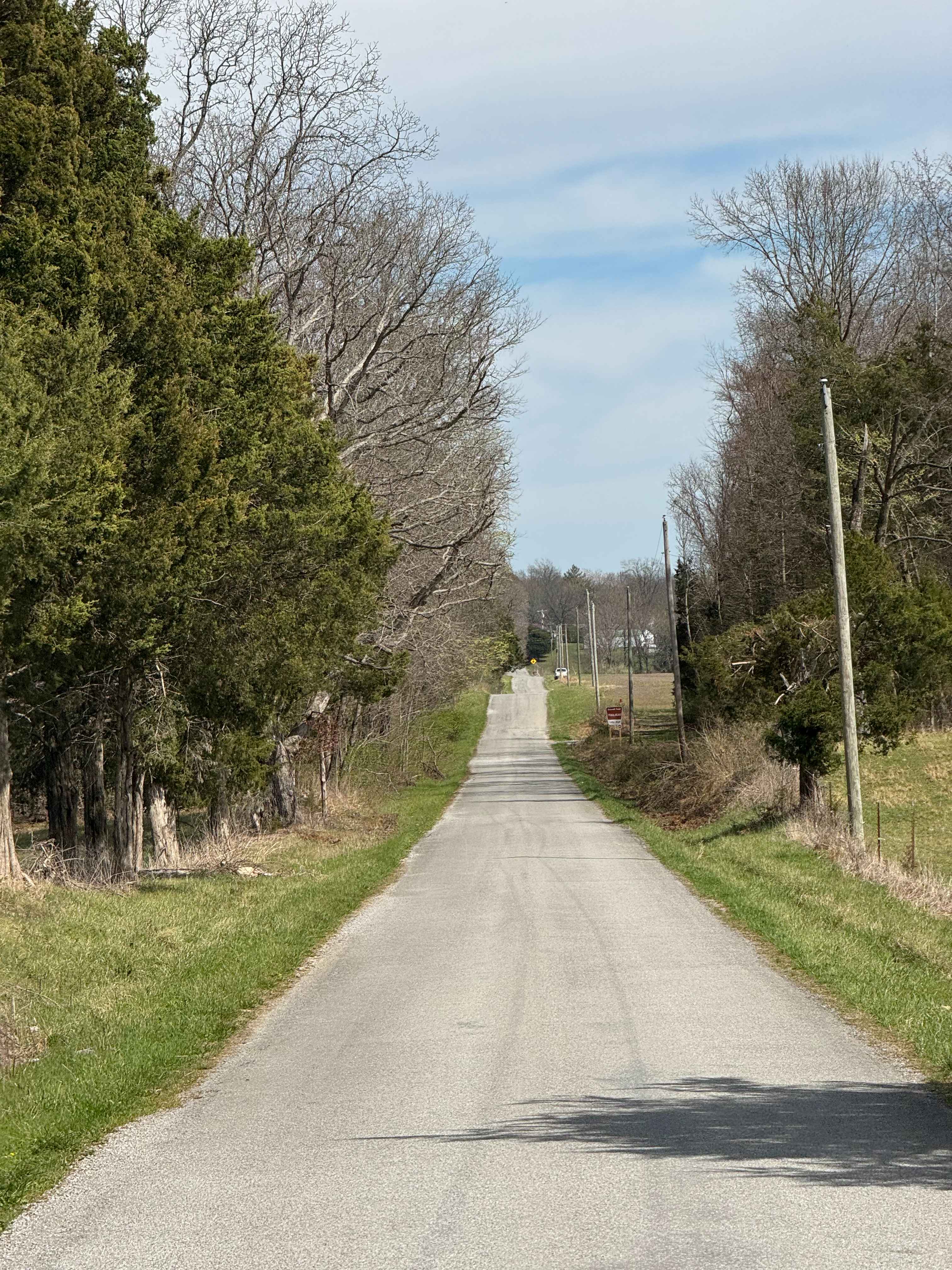
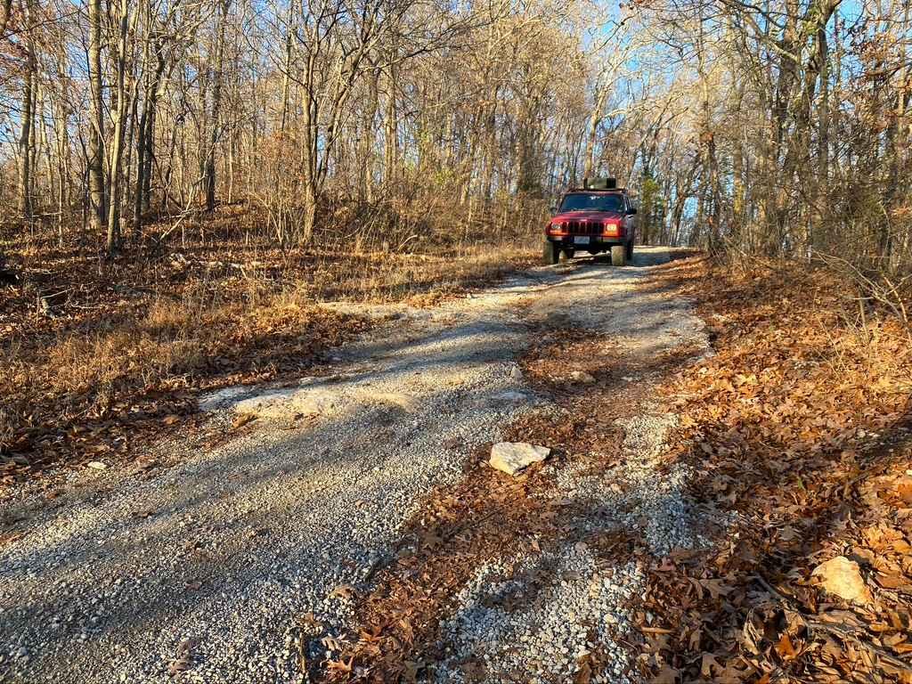
Burden Falls Road
Total Miles
1.6
Technical Rating
Best Time
Spring, Summer, Fall
Trail Type
Full-Width Road
Accessible By
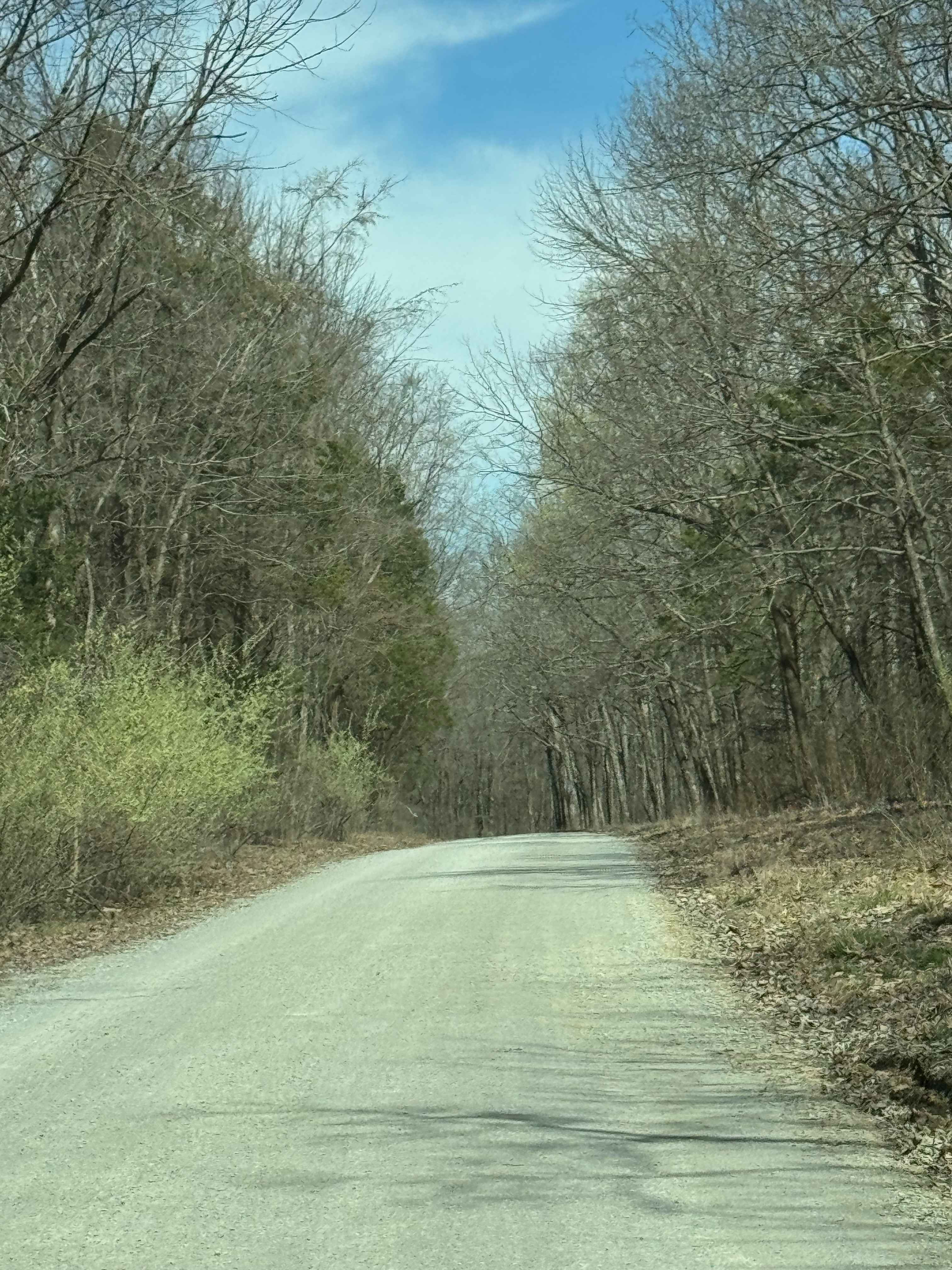
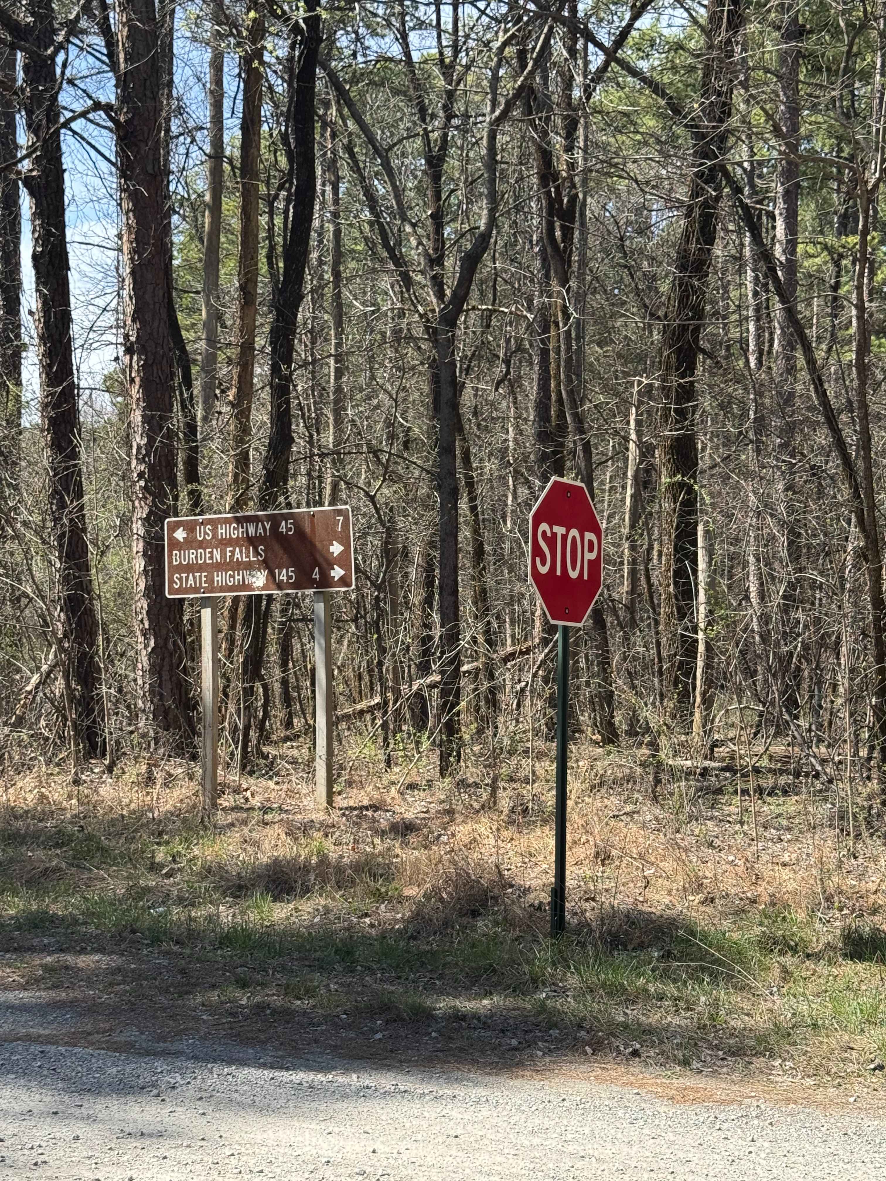
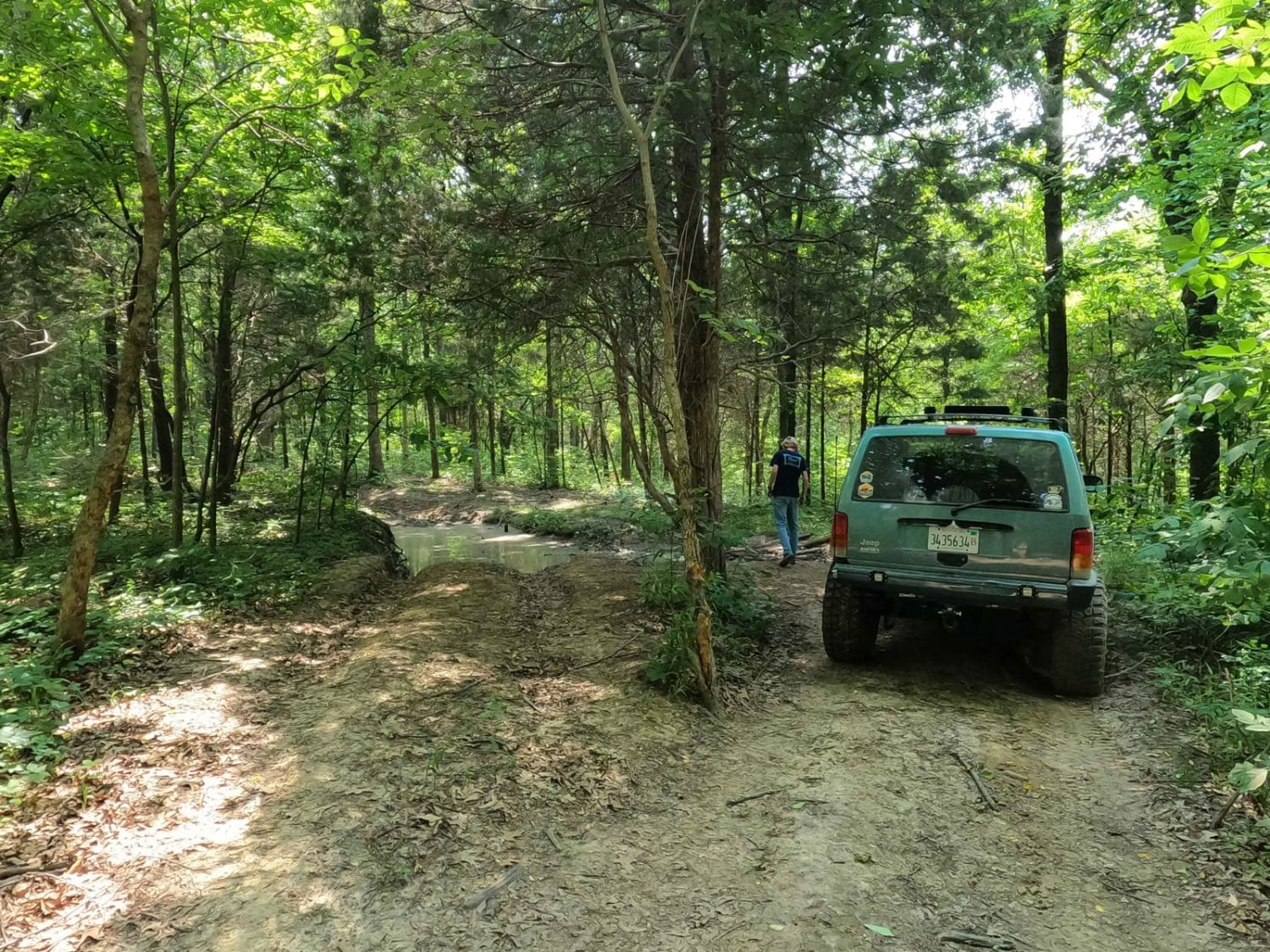
Trail Overview
Burden Falls Road is a gravel route within Shawnee National Forest that connects the small community of McCormick to Burden Falls Road (402). The road is generally easy to follow and consists of typical forest gravel terrain with occasional uneven sections. This route provides a quieter, more scenic approach to the Burden Falls area, making it a good option for those looking to access nearby hiking trails and natural features without using main paved roads. Visitors should be aware of changing road conditions after rain and follow all posted rules and regulations within the forest.
Photos of Burden Falls Road
Difficulty
Easy. This is a maintained gravel road suitable for most 2WD vehicles in dry conditions. Minor uneven sections may be present, especially after rainfall, but there are no significant obstacles.
Status Reports
Burden Falls Road can be accessed by the following ride types:
- High-Clearance 4x4
- SUV
Burden Falls Road Map
Popular Trails
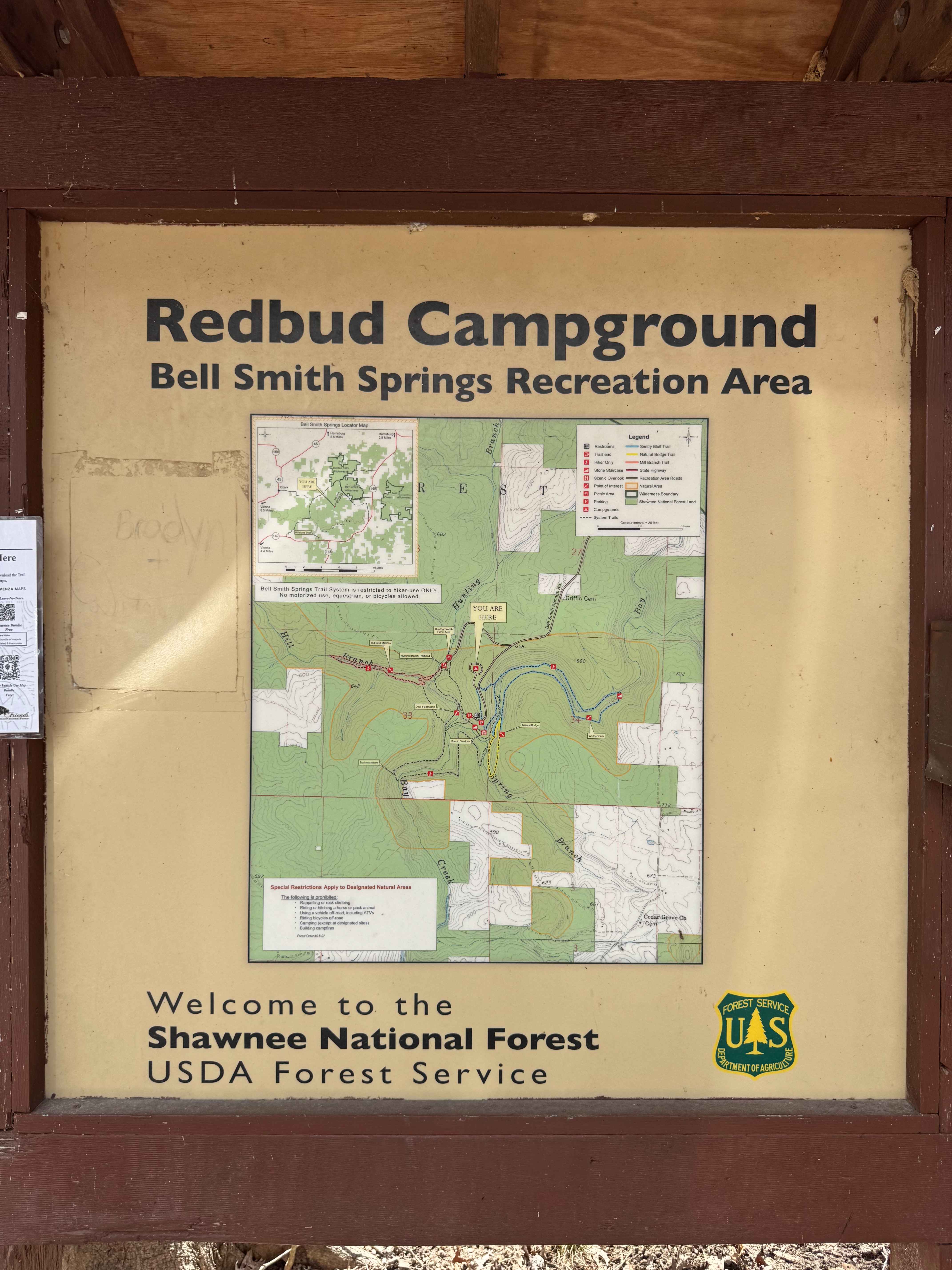
Bell Smith Spring Hiking Area
North Hitching Post FSR 1454
Burden Falls Trail
Rock Top SFR 233
The onX Offroad Difference
onX Offroad combines trail photos, descriptions, difficulty ratings, width restrictions, seasonality, and more in a user-friendly interface. Available on all devices, with offline access and full compatibility with CarPlay and Android Auto. Discover what you’re missing today!