West Fork Weiser
Total Miles
3.1
Technical Rating
Best Time
Spring, Summer, Fall, Winter
Trail Type
Full-Width Road
Accessible By
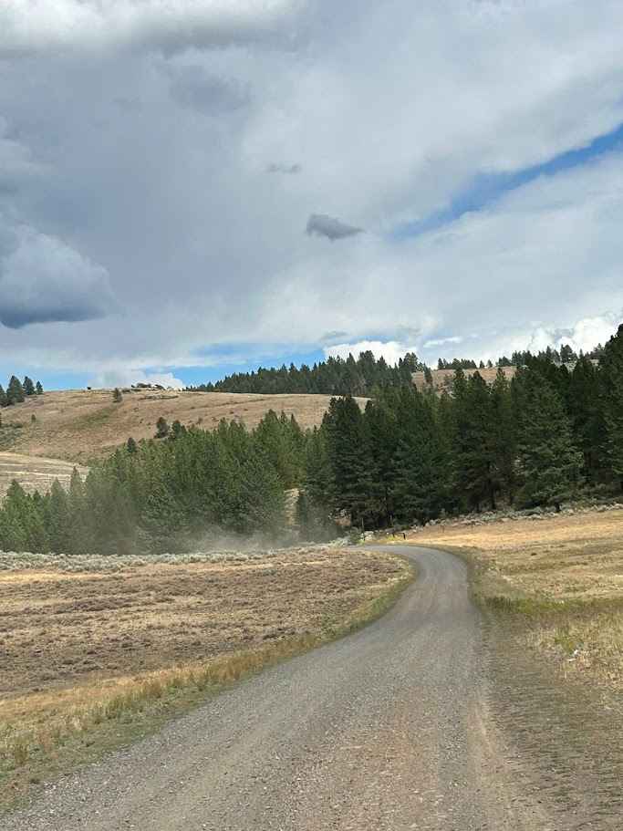
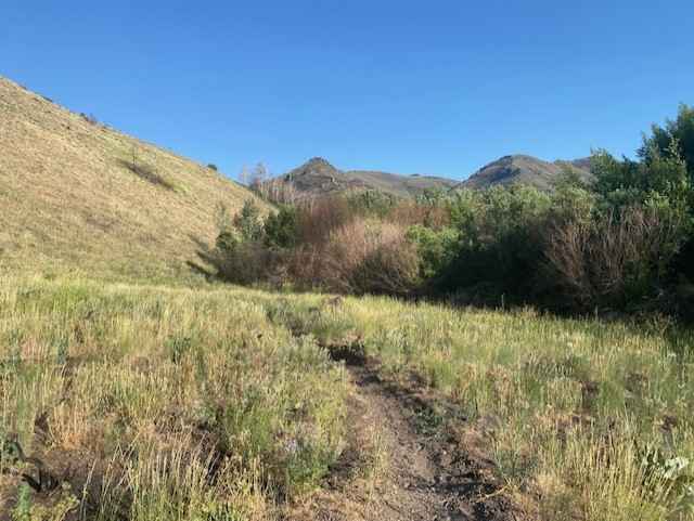
Trail Overview
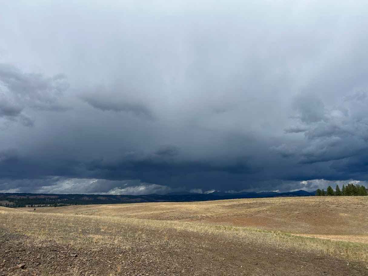
The West Fork Weiser off-road trail, following Forest Service Road 50127, offers a scenic drive through some of Idaho's most rugged backcountry. The road surface is a mix of compacted dirt, loose gravel, and rocky stretches, with sections that can be muddy or rutted after storms or snowmelt. High-clearance 4WD vehicles are strongly recommended, as low-slung rigs may struggle on steeper climbs, shallow creek crossings, or eroded edges. As the route winds along the West Fork of the Weiser River, drivers are treated to a variety of landscapes, from shaded stretches beneath thick pine and fir forests to wide-open meadows that burst with wildflowers in early summer. The river itself provides tranquil spots for fishing or just enjoying the sound of moving water, and tributary creeks and seasonal waterfalls add to the trail's charm. At higher points, the road reveals sweeping views across forested hillsides and distant ridges, a reminder of how vast and untamed this corner of Idaho remains. Wildlife is plentiful here, with chances to spot deer, elk, or raptors along the way. Fall brings splashes of color from aspens and other deciduous trees, while spring and summer showcase a vibrant display of alpine blooms. With limited cell service, travelers should come prepared with fuel, recovery gear, and good tires, and remember to respect both the land and private property along the corridor. For those who make the trip, Road 50127 along the West Fork Weiser is an off-road adventure that blends technical driving with rewarding scenery and solitude.
Photos of West Fork Weiser
Difficulty
This is an easy route with gentle terrain that can be handled by nearly any vehicle without challenge.
Status Reports
West Fork Weiser can be accessed by the following ride types:
- High-Clearance 4x4
- SUV
- SxS (60")
- ATV (50")
- Dirt Bike
West Fork Weiser Map
Popular Trails
Alex Draw to McGary Canyon ATV Trail

Bailey Ridge #3118
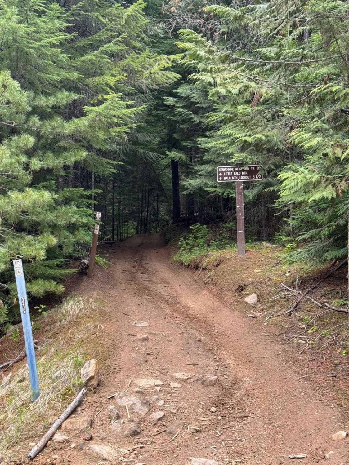
Strychnine Ridge (Trail 319)
Idaho Trail Sampler
The onX Offroad Difference
onX Offroad combines trail photos, descriptions, difficulty ratings, width restrictions, seasonality, and more in a user-friendly interface. Available on all devices, with offline access and full compatibility with CarPlay and Android Auto. Discover what you’re missing today!