Idaho Trail Sampler
Total Miles
20.0
Technical Rating
Best Time
Spring, Summer, Fall
Trail Type
Single Track
Accessible By
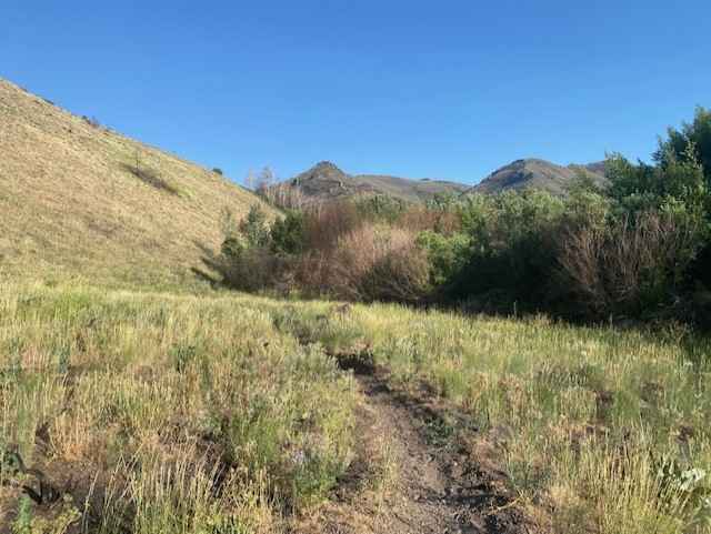
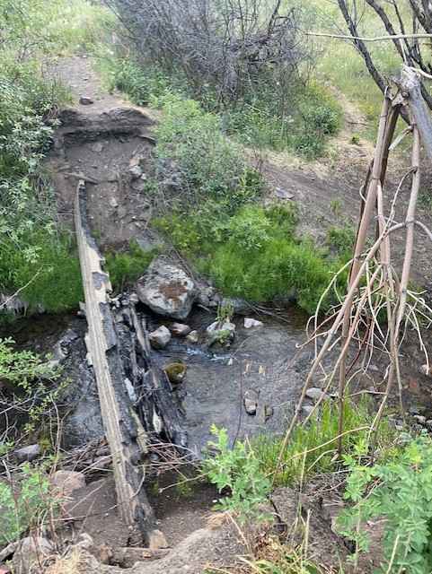
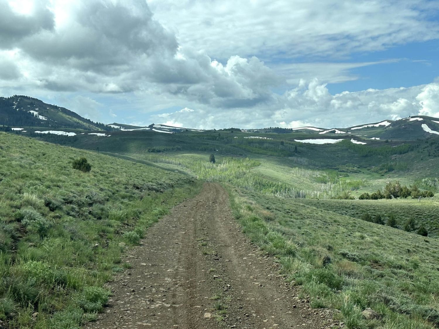
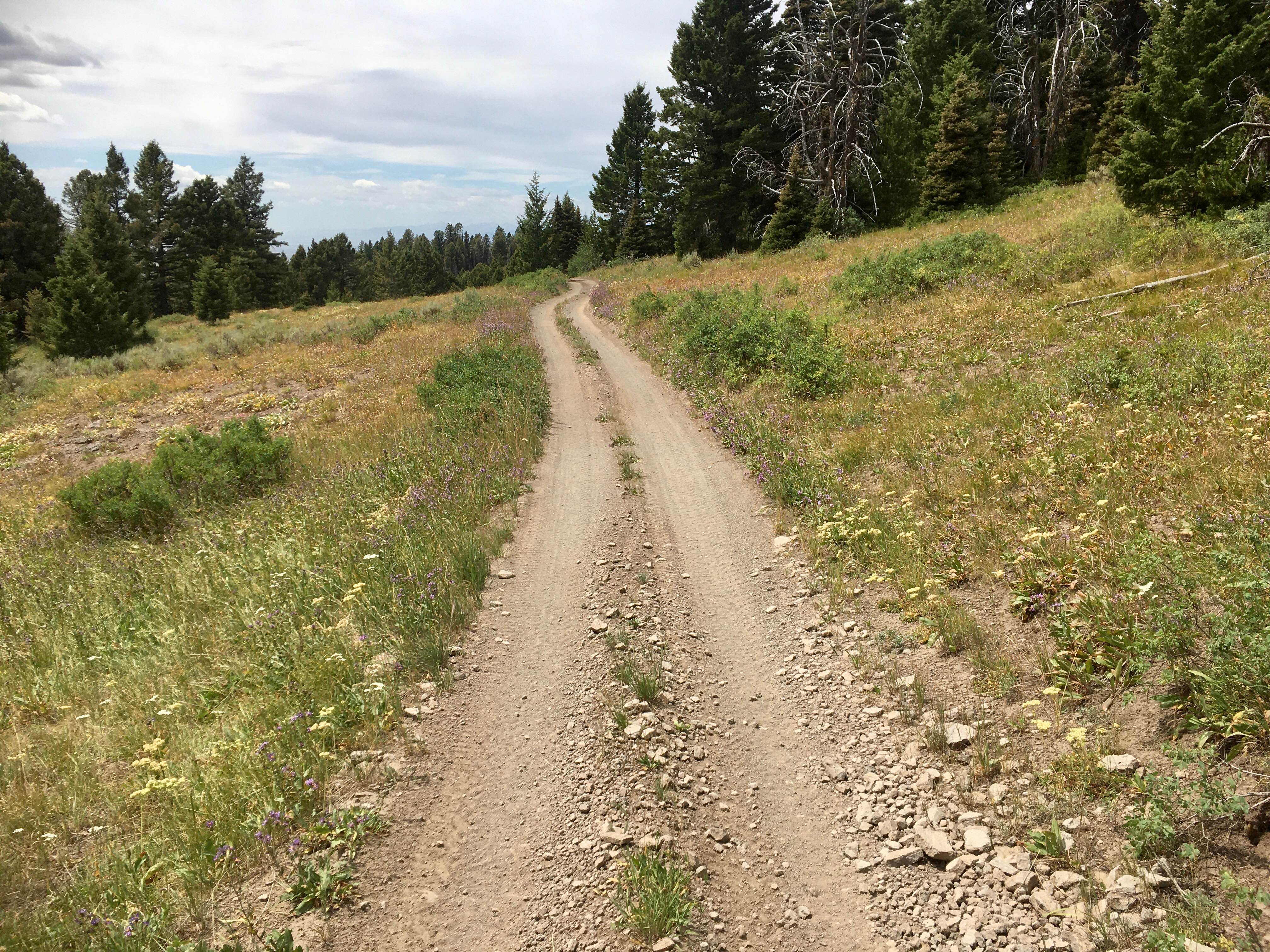
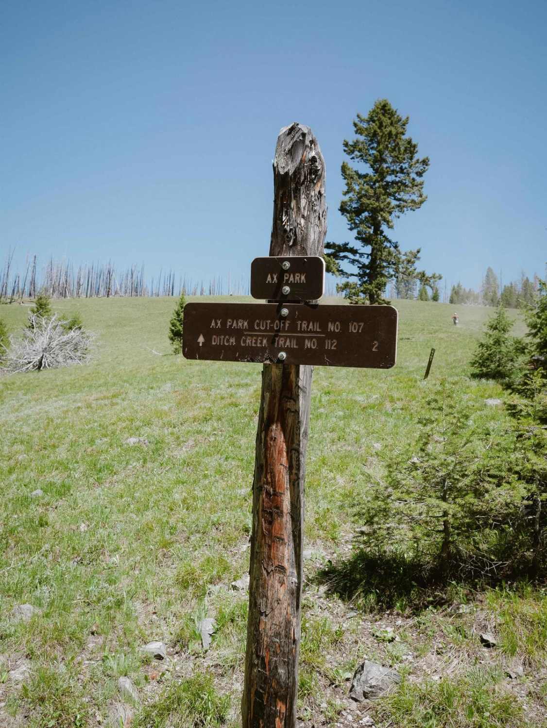
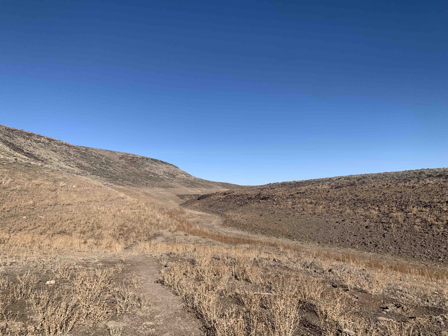
Trail Overview
Rocky, loose shale single-track to begin with, then transitions to flowing fast trails. A small respite of double-track, with a challenging finish of yet more rocky single-track. Great trail to experience all the types of dirt bike trails Southern Idaho has to offer. Single-track offers a good challenge for those looking for it, but also offers a quick return to the trail head need be.
Photos of Idaho Trail Sampler
Difficulty
Loose shale combined with softball sized boulders on exposed single-track can result in dangerous falls. Certain areas are "no fall zones".
Status Reports
Idaho Trail Sampler can be accessed by the following ride types:
- Dirt Bike
Idaho Trail Sampler Map
Popular Trails
Slacks Mountain Trail
Alex Draw to McGary Canyon ATV Trail
Antelope Bay Loop Northern Section
The onX Offroad Difference
onX Offroad combines trail photos, descriptions, difficulty ratings, width restrictions, seasonality, and more in a user-friendly interface. Available on all devices, with offline access and full compatibility with CarPlay and Android Auto. Discover what you’re missing today!