Warfield-South Fork - FS 7151
Total Miles
9.1
Technical Rating
Best Time
Summer, Fall
Trail Type
Single Track
Accessible By
Trail Overview
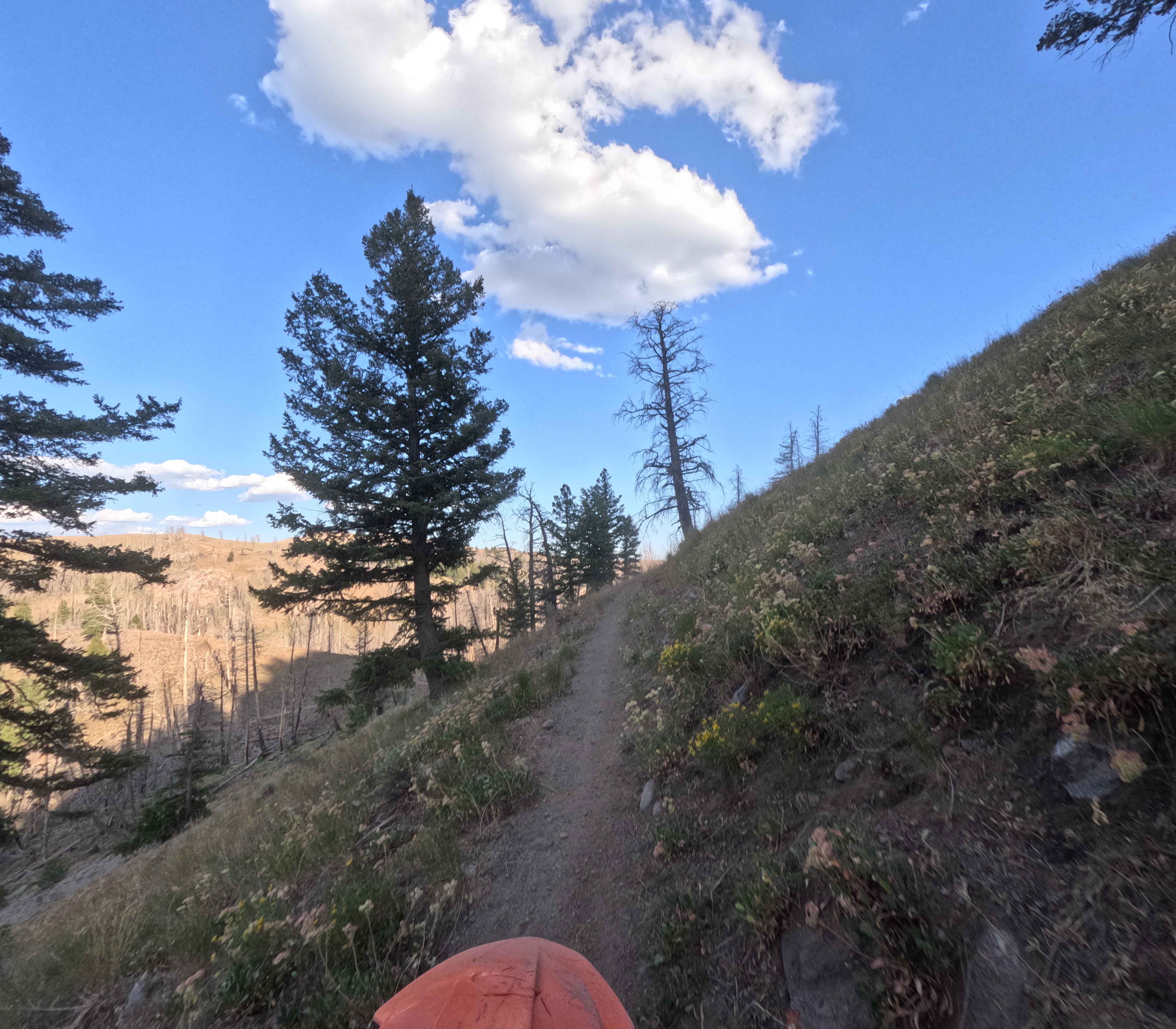
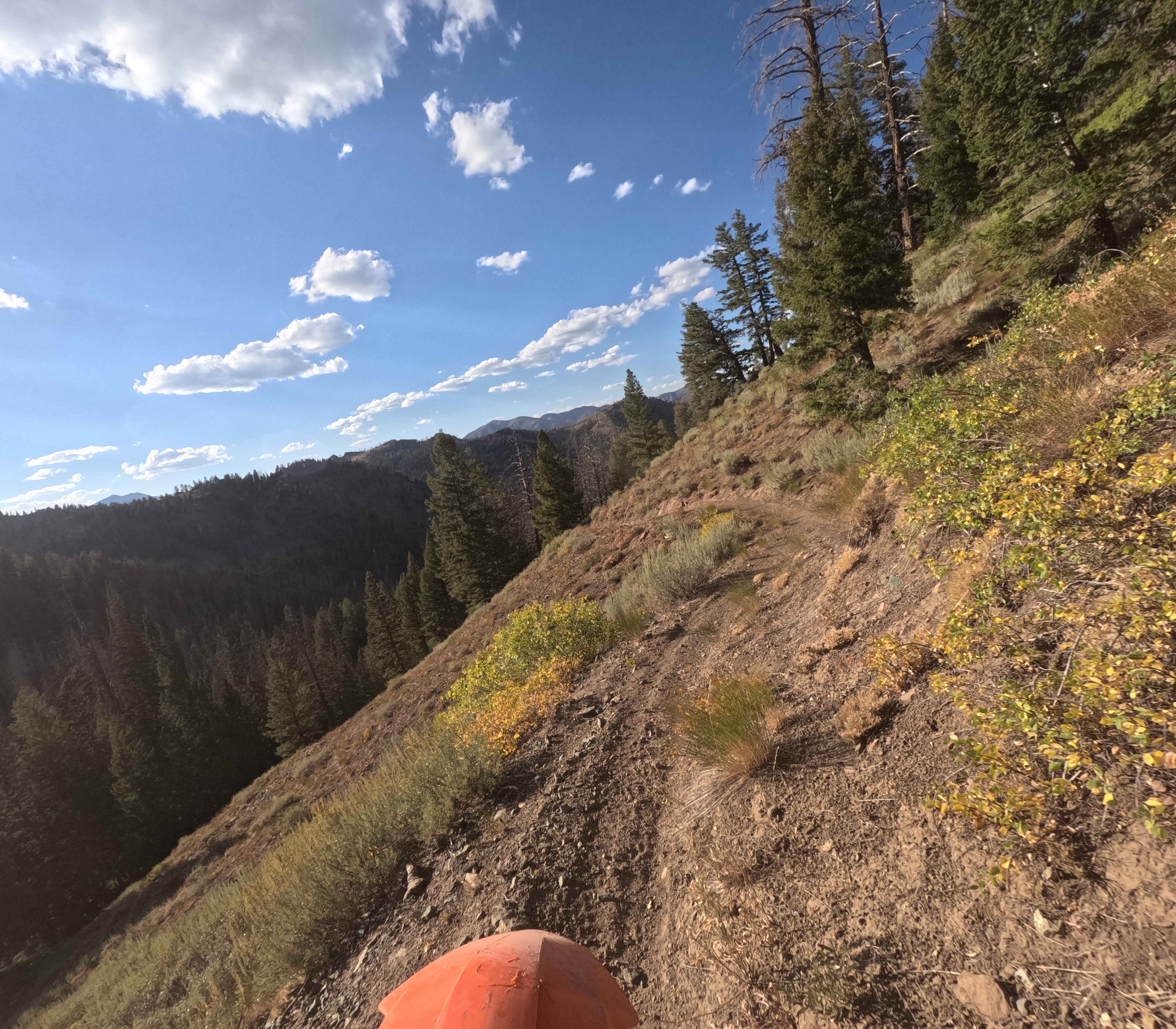
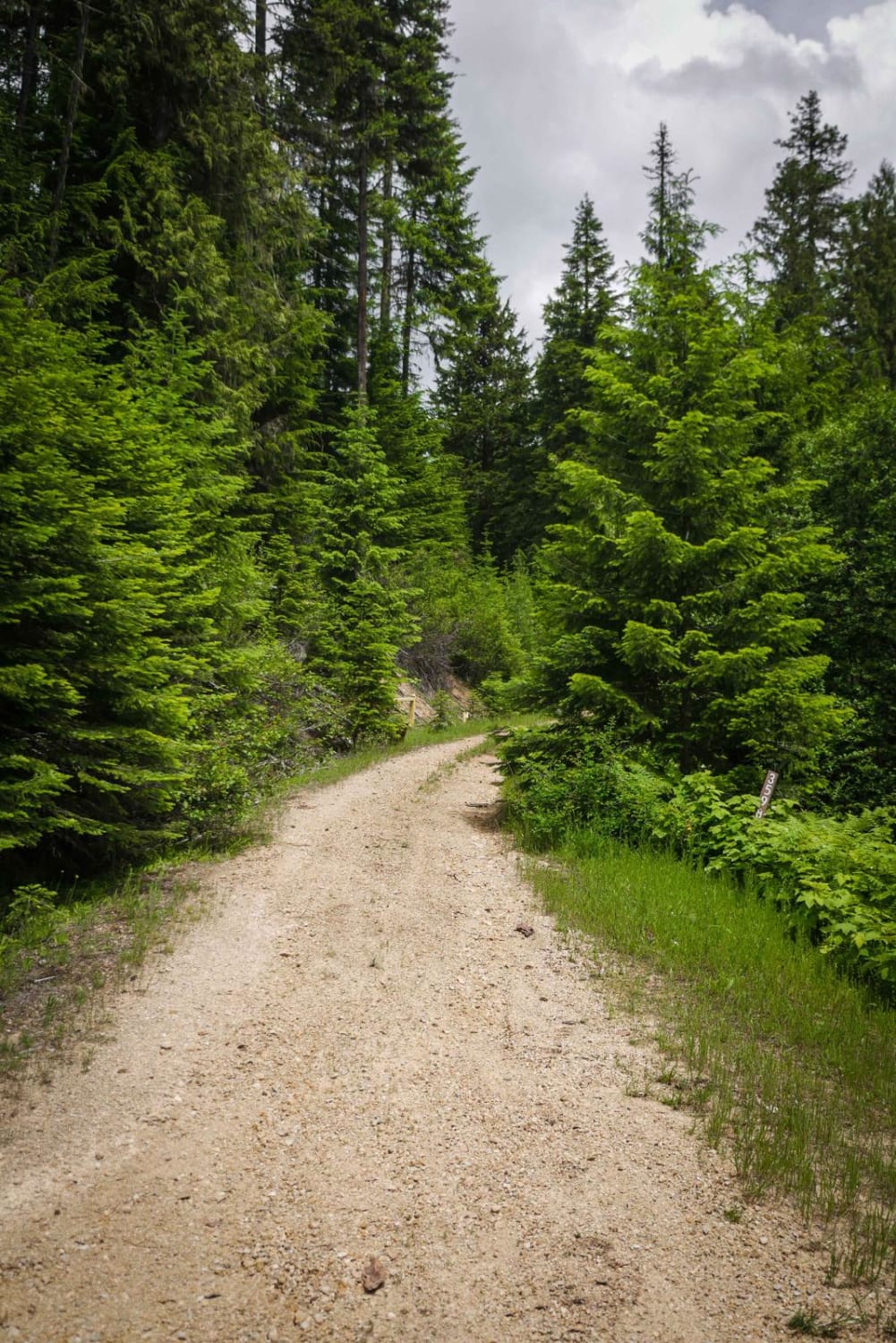
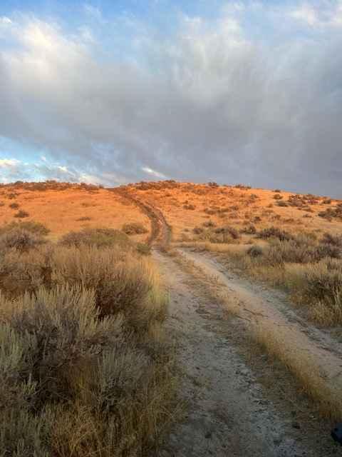
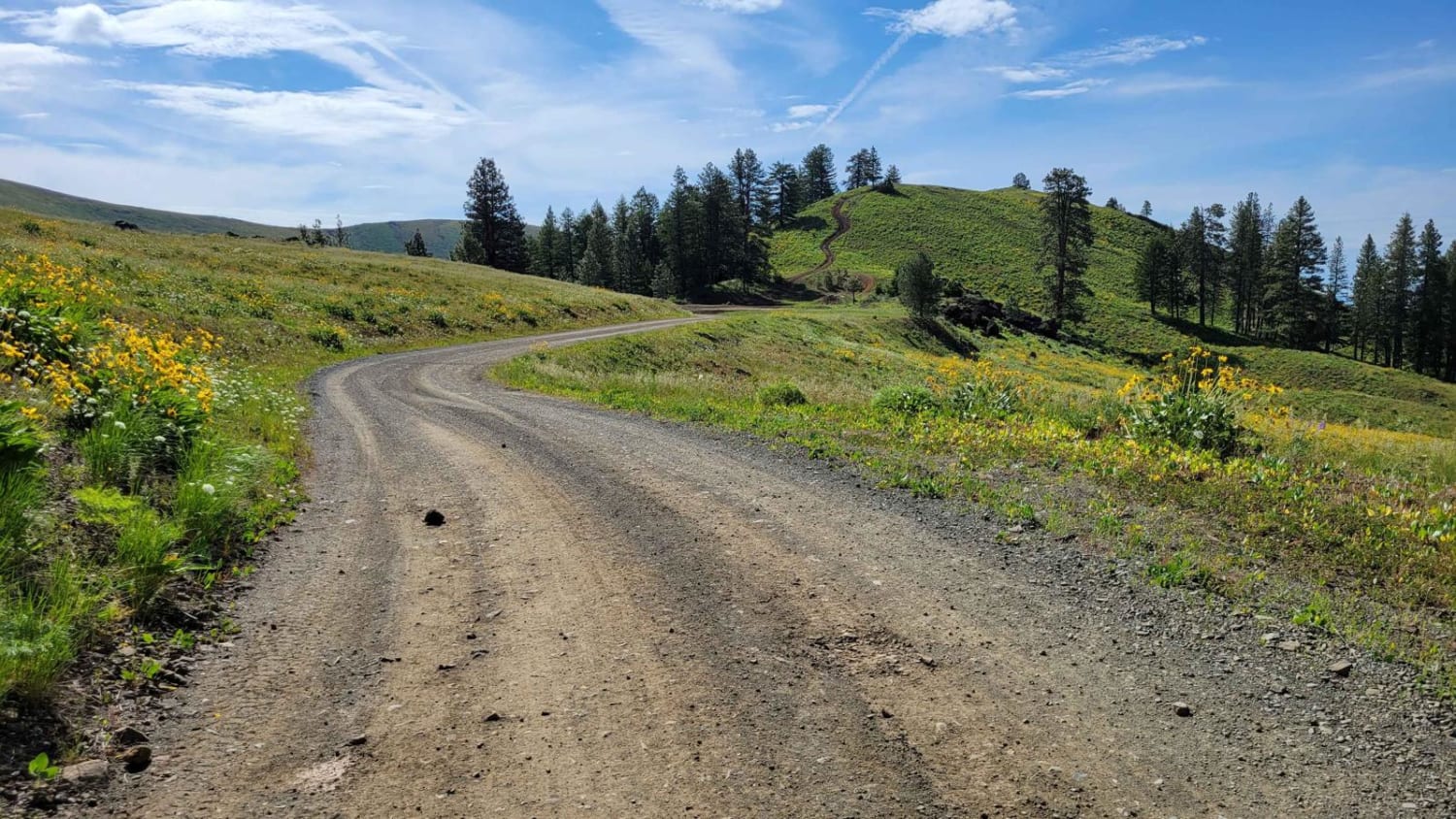
Warfield-South Fork (7151) is a 9.1-mile single track in the Smoky Mountains, 20 minutes west of Ketchum, Idaho. The route runs east from FS 7302 before turning northeast to finish at FS 70227. It climbs about 1,200 feet to the midpoint before dropping nearly 1,900 feet down to the road. The ground surface is mostly hard-packed dirt with very few rocks, giving it good flow. Most obstacles are limited to downed trees cut along the sides of the track and a few brushy, small stream crossings. The trail follows several creeks, starting with South Fork Warm Springs and later Warfield Creek, with much of the tread cut into the hillside above the water. Riders will encounter a handful of switchbacks around the midpoint, along with narrow, exposed side-hill sections that add spice.
Photos of Warfield-South Fork - FS 7151
Difficulty
Narrow trail and high exposure increase the trail rating.
Status Reports
Warfield-South Fork - FS 7151 can be accessed by the following ride types:
- Dirt Bike
Warfield-South Fork - FS 7151 Map
Popular Trails
Hill 36 OHV - 3598
Blue Heart Overlook and Access
NR 019 - Bear Creek Saddle

The onX Offroad Difference
onX Offroad combines trail photos, descriptions, difficulty ratings, width restrictions, seasonality, and more in a user-friendly interface. Available on all devices, with offline access and full compatibility with CarPlay and Android Auto. Discover what you’re missing today!