Upper Red Ives Creek
Total Miles
8.6
Technical Rating
Best Time
Summer, Fall
Trail Type
High-Clearance 4x4 Trail
Accessible By
Trail Overview
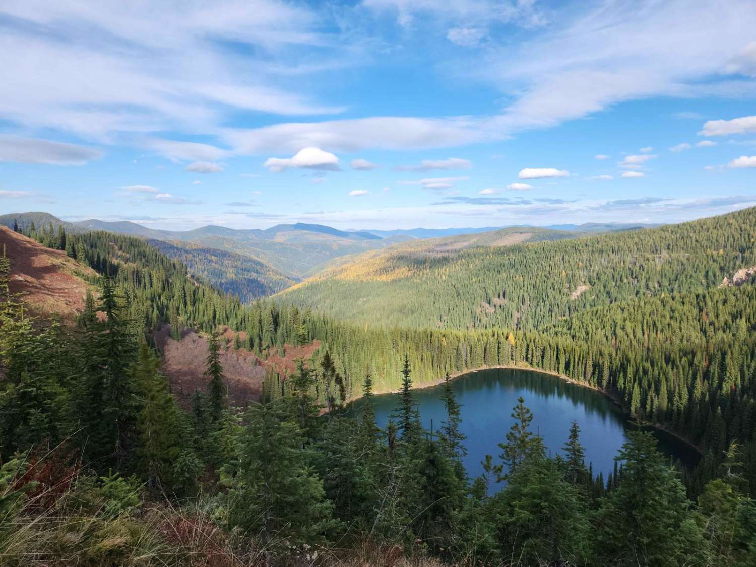
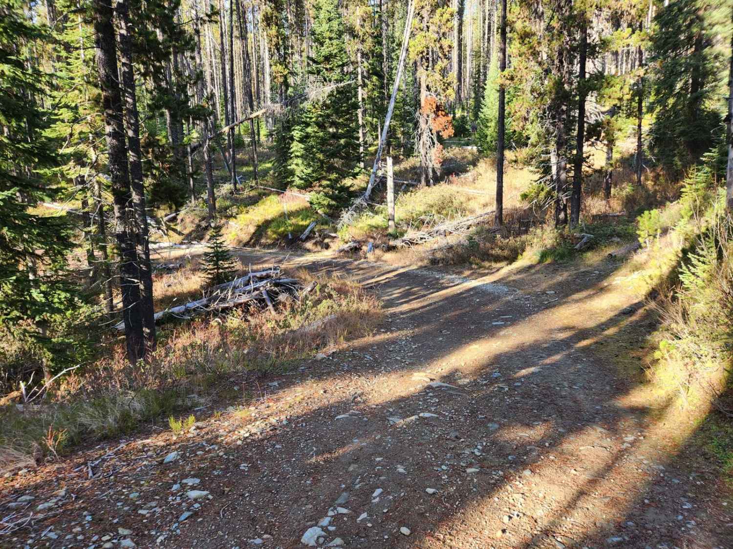
Upper Red Ives Creek USFS #320 is an infrequently used dirt and gravel route in the St. Joe National Forest that runs from the Montana border near Missoula Lake to Heller Creek, Idaho. The route is mildly rough and subject to washouts, downed trees, and seasonal fires so bring a saw, shovel, and be prepared. There are few places to pass, and some sections are mild shelf roads- keep to the uphill side of the roadway. The area is quite remote, with some hunting and fishing activity, and entry from Avery or Superior to reach the track may have fallen trees blocking the way. There is no cell phone service in the area. There are deer, elk, bear, and grouse in the area with campgrounds and dispersed camping available. For current conditions call the St. Joe Ranger District at 208-245-2531.
Photos of Upper Red Ives Creek
Difficulty
Inclement weather can increase the route's difficulty.
Status Reports
Upper Red Ives Creek can be accessed by the following ride types:
- High-Clearance 4x4
- SxS (60")
- ATV (50")
- Dirt Bike
Upper Red Ives Creek Map
Popular Trails

Lime Creek to Iron Mountain Lookout

4th July - Copper Creek - 3097

The onX Offroad Difference
onX Offroad combines trail photos, descriptions, difficulty ratings, width restrictions, seasonality, and more in a user-friendly interface. Available on all devices, with offline access and full compatibility with CarPlay and Android Auto. Discover what you’re missing today!