Stoddard Creek Ridge Trail
Total Miles
3.5
Technical Rating
Best Time
Summer, Fall
Trail Type
50" Trail
Accessible By
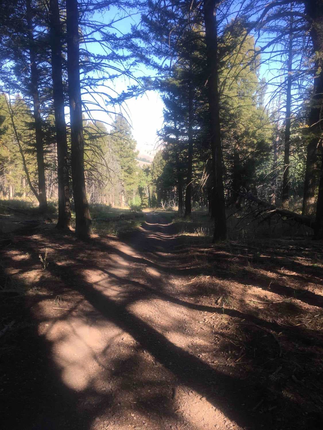
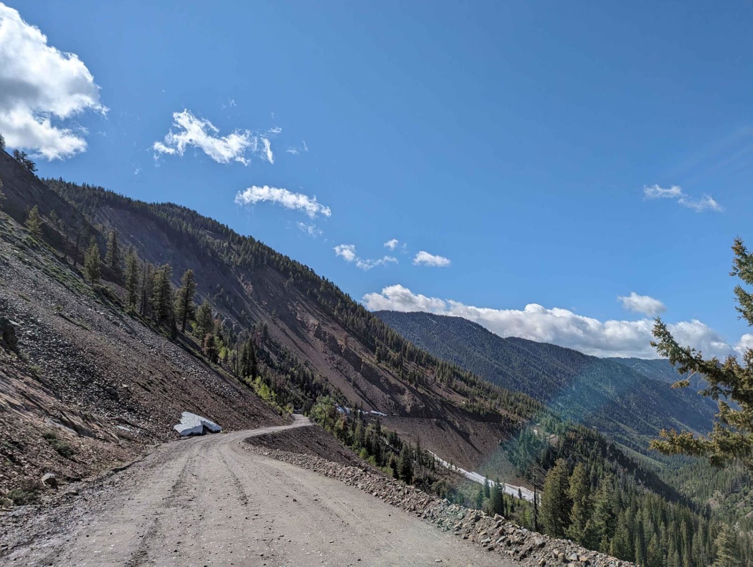
Trail Overview
This trail is a ridgeline trail along its entire 3.5-mile length. Most of that ridgeline is free from timber, so there are abundant opportunities for sweeping panoramic views. The trail tops out at about 7,500 feet in elevation. The high point of the trail is substantially elevated above the surrounding terrain.
Photos of Stoddard Creek Ridge Trail

Difficulty
Typical of most ridgeline trails, the tread is rocky and there are many steep rocky grades. In this case, the grades are relatively gentle and not very long.
Stoddard Creek Ridge Trail can be accessed by the following ride types:
- ATV (50")
- Dirt Bike
Stoddard Creek Ridge Trail Map
Popular Trails

4th July - Copper Creek - 3097

Picnic Ridge Trail
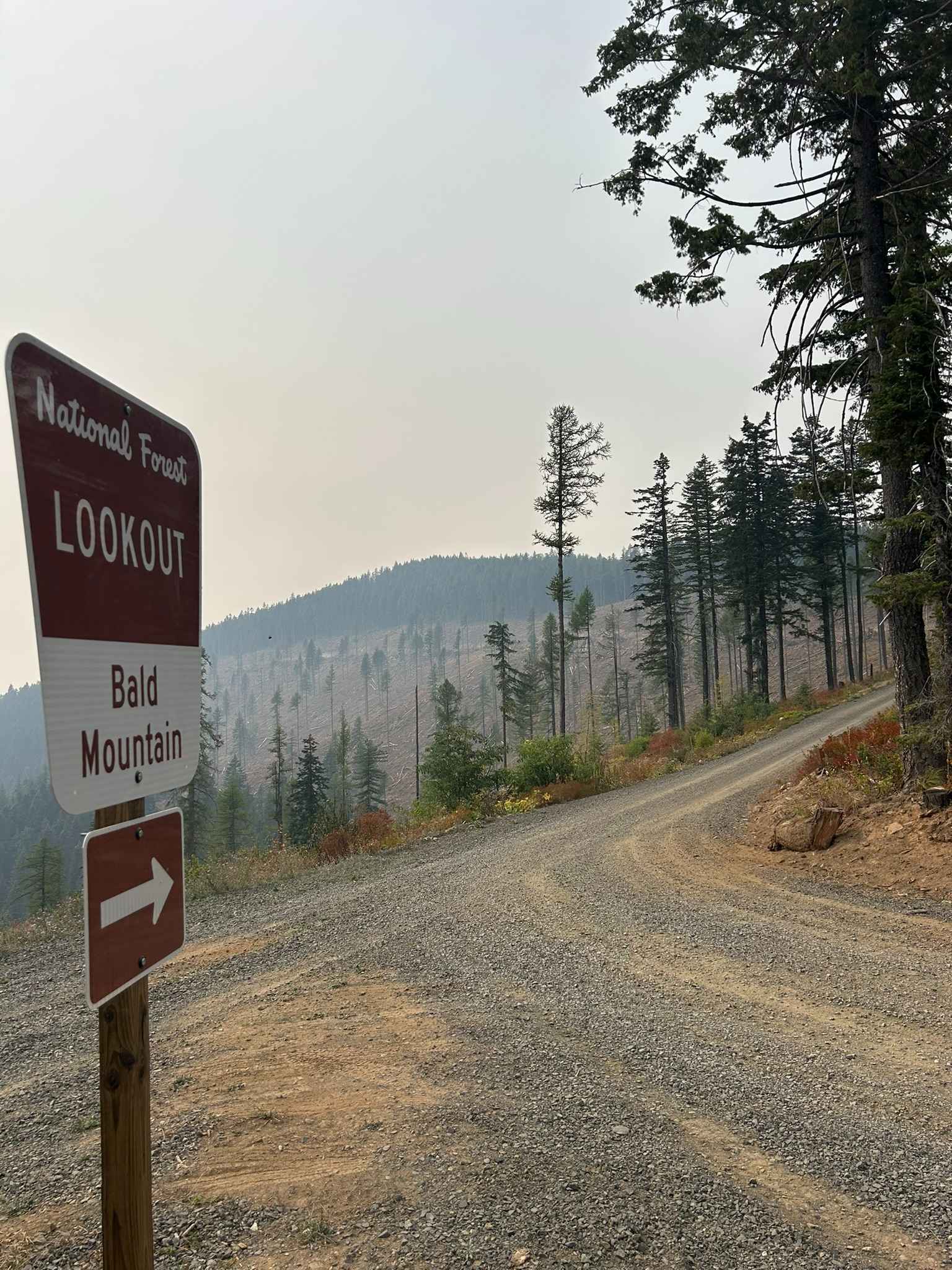
Bald Mountain Lookout - FS 377A
Trail Creek Pass 408/208
The onX Offroad Difference
onX Offroad combines trail photos, descriptions, difficulty ratings, width restrictions, seasonality, and more in a user-friendly interface. Available on all devices, with offline access and full compatibility with CarPlay and Android Auto. Discover what you’re missing today!