St. Joe Divide Access
Total Miles
0.1
Technical Rating
Best Time
Summer
Trail Type
High-Clearance 4x4 Trail
Accessible By
Trail Overview
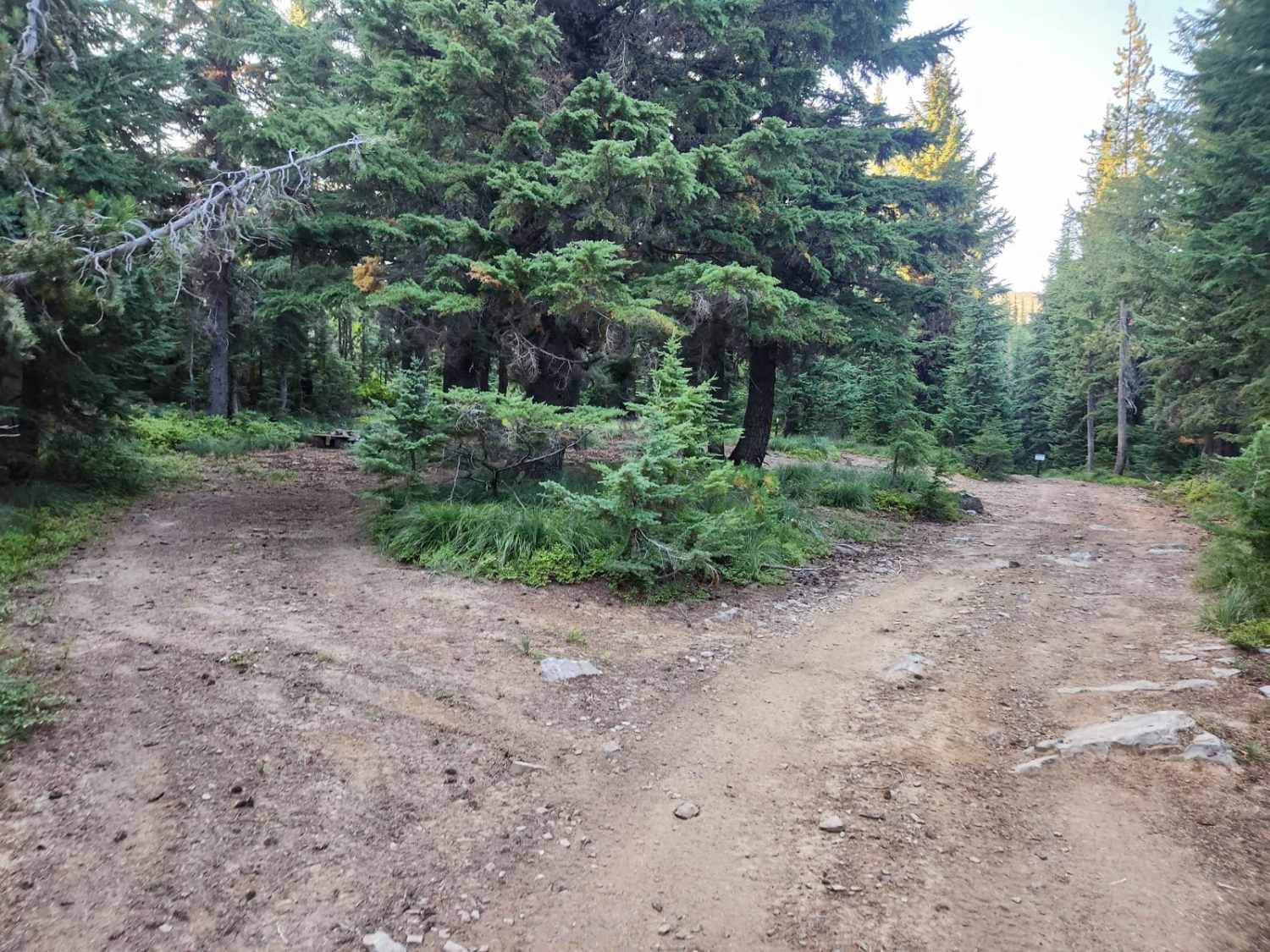
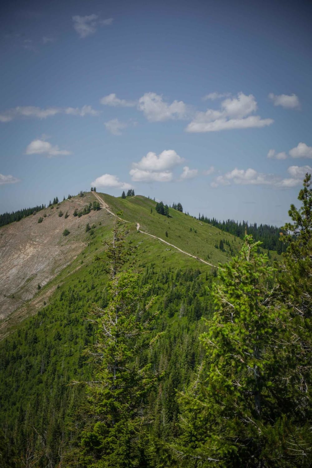
The St. Joe Divide Access Road is a steep, brief, and rocky offshoot road from the Twin Crags road that gives access to the St. Joe Divide ridge line motorcycle trail. The rocks on the road are sharp and must be traversed with care. The most southern tip of the road is the ridge line access point, though the road loops around northward again to a campsite in the trees and another trail which conjoins with a closed westbound road from the Palisade Mine above it and continues down multiple switchbacks to the middle fork of Pine Creek. The ridge line motorcycle trail south is inside the Crystal Lake wilderness Study Area and has applicable restrictions. The campsite has no water or outhouses, so be prepared and leave it better than you found it.
Photos of St. Joe Divide Access

Difficulty
The road is steep, narrow, rutted, and has tall sharp rocks. Go slow and carefully to avoid tire damage.
Status Reports
St. Joe Divide Access can be accessed by the following ride types:
- High-Clearance 4x4
- SxS (60")
- ATV (50")
- Dirt Bike
St. Joe Divide Access Map
Popular Trails
Dam Creek Divide ATV

Hidden Lake Loop
The onX Offroad Difference
onX Offroad combines trail photos, descriptions, difficulty ratings, width restrictions, seasonality, and more in a user-friendly interface. Available on all devices, with offline access and full compatibility with CarPlay and Android Auto. Discover what you’re missing today!