North Chilco Road
Total Miles
8.5
Technical Rating
Best Time
Spring, Summer, Fall
Trail Type
Full-Width Road
Accessible By
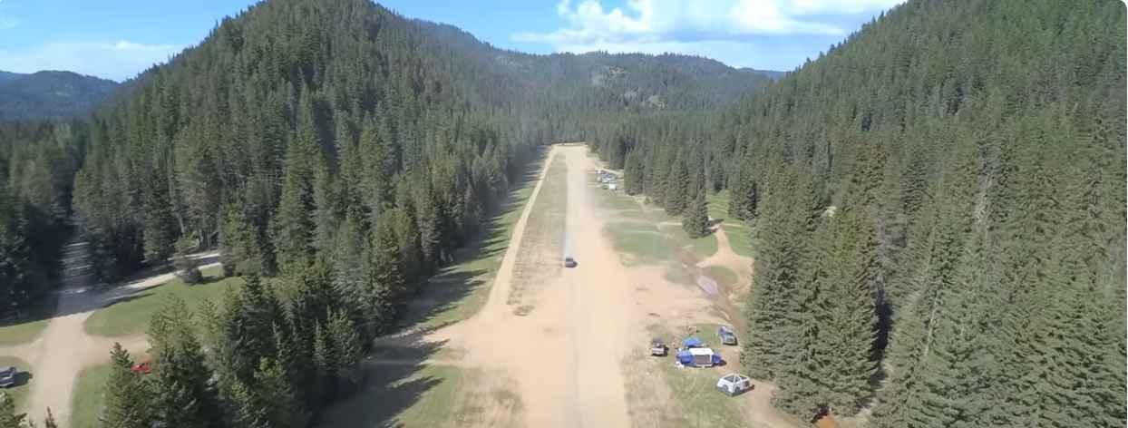
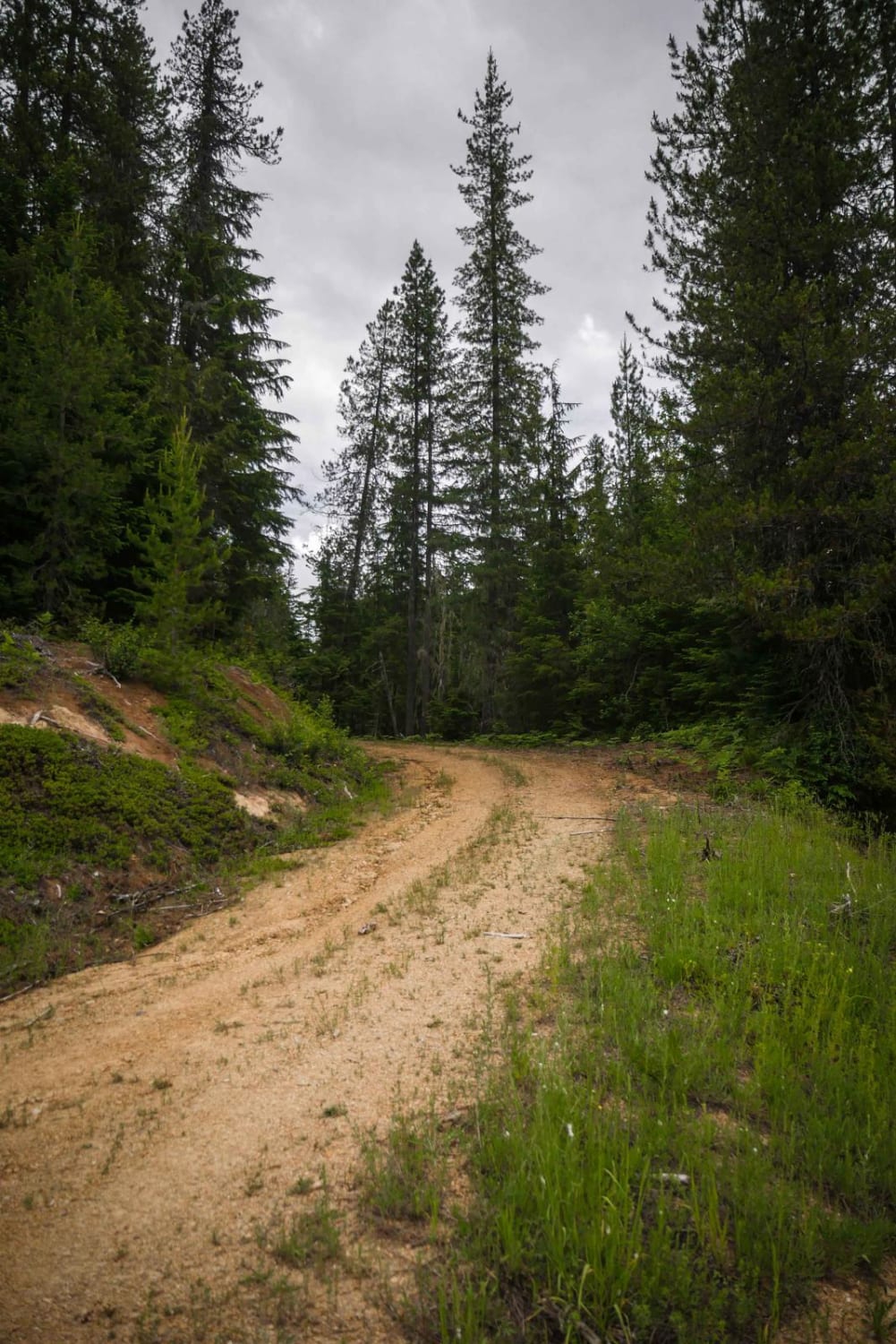
Trail Overview
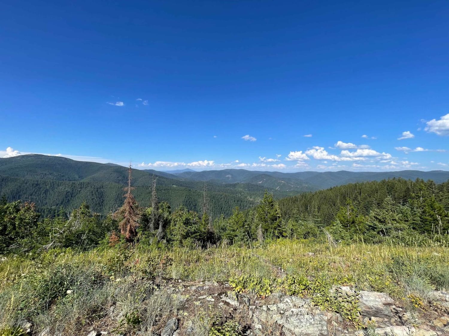
This well-graded road will continue North from Horse Haven Airfield (a World War II training site). You will find plenty of disbursed camping in this area. The grade is easy, but with years of heavy traffic, when wet, have created some decent-sized potholes and some rocky sections. Watch for wild berries and oncoming traffic with narrow sections. Once you have reached the top you will have some limited views of Lake Pend Oreille and a few different route choices to descend off the mountain. There is no winter maintenance & cell phone service is limited depending on the carrier.
Photos of North Chilco Road

Difficulty
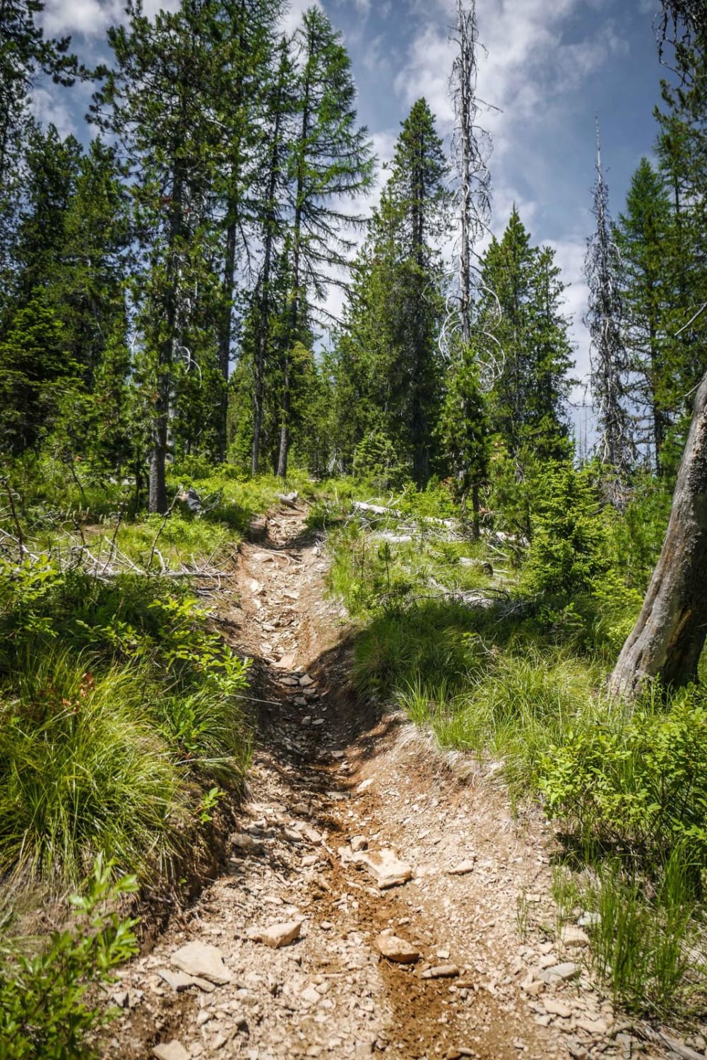
This is a dirt and rocky road, typically unmaintained after rain or snow. You may encounter shallow water crossings. The roads are typically one to two vehicles wide.
Status Reports
North Chilco Road can be accessed by the following ride types:
- High-Clearance 4x4
- SUV
- SxS (60")
- ATV (50")
- Dirt Bike
North Chilco Road Map
Popular Trails
Black Jack Harvey - 3592

Elk-Morris Connection
Badger Mountain
The onX Offroad Difference
onX Offroad combines trail photos, descriptions, difficulty ratings, width restrictions, seasonality, and more in a user-friendly interface. Available on all devices, with offline access and full compatibility with CarPlay and Android Auto. Discover what you’re missing today!